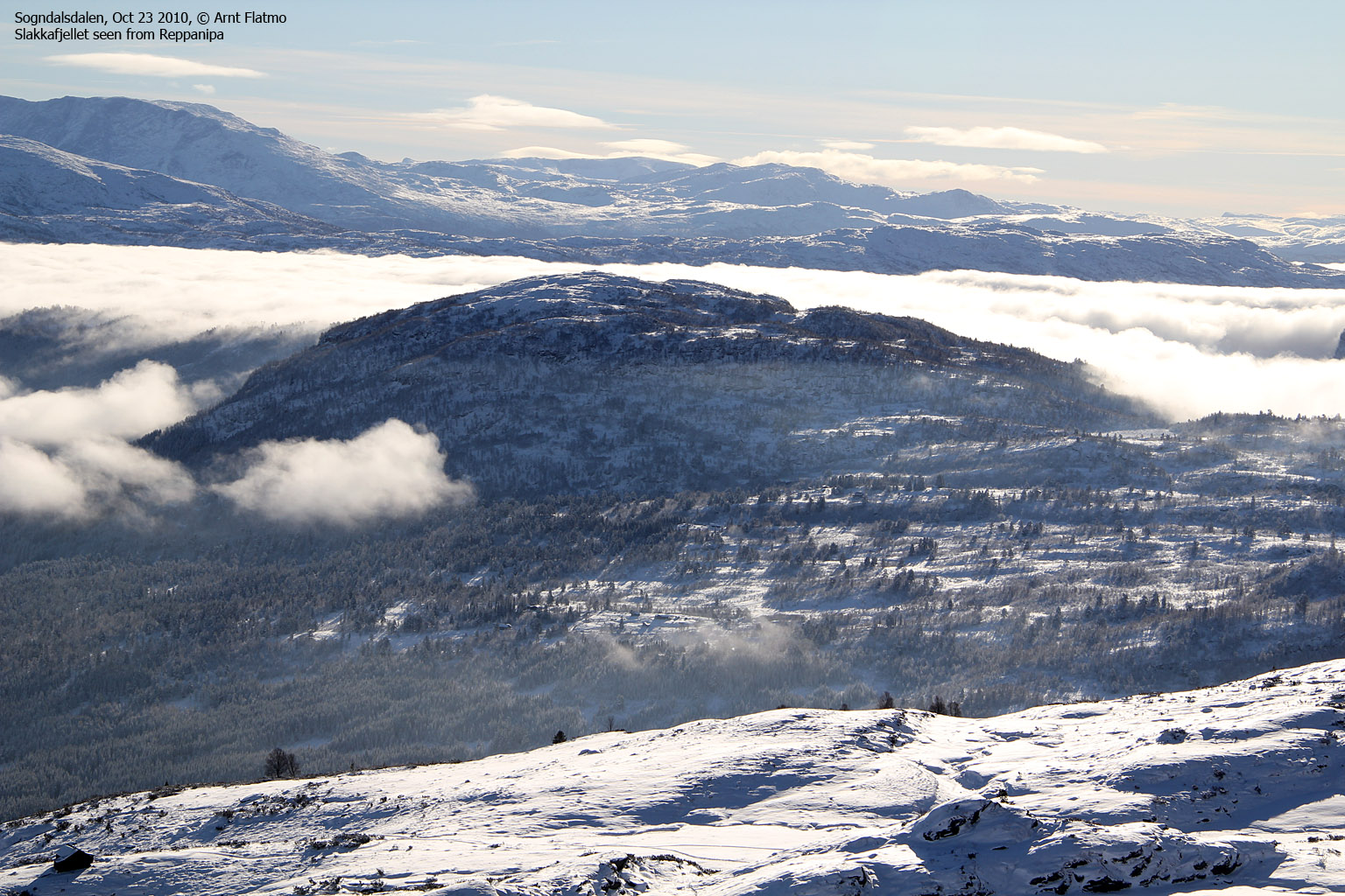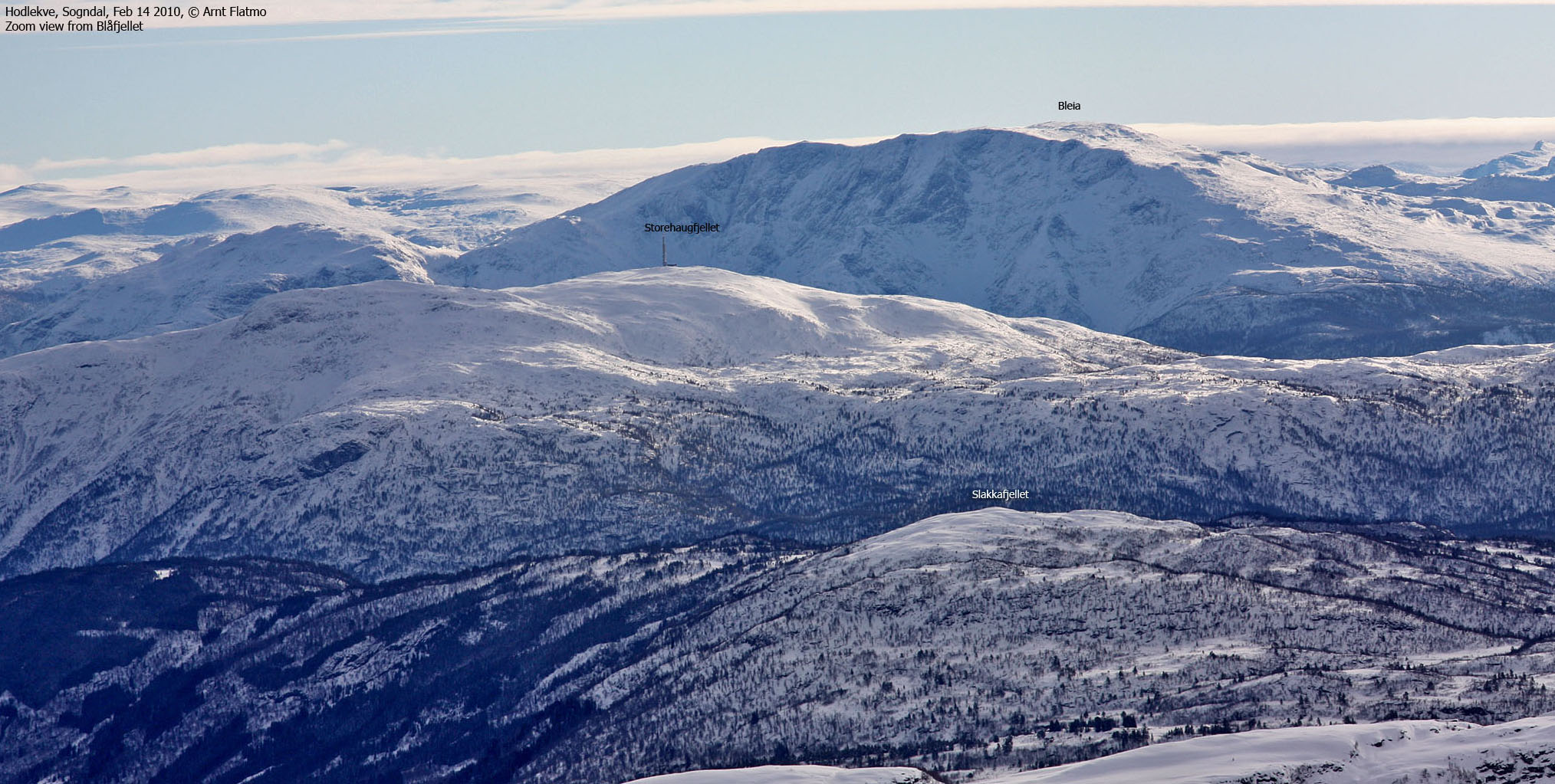
Norwegian Mountains, Sogn og FjordaneSlakkafjellet, 855m
|
| Fylke/Kommune : | Sogn og Fjordane/Sogndal | ||||||||||||||||||||||
| Maps : | 1417-III Sogndal (Statens Kartverk, Norge 1:50 000) | ||||||||||||||||||||||
| Primary factor : | 242m | ||||||||||||||||||||||
| Hiked : | Oct 2010 | ||||||||||||||||||||||
| See also : |
| ||||||||||||||||||||||
| See also : | Other Sogn og Fjordane mountains on westcoastpeaks.com |

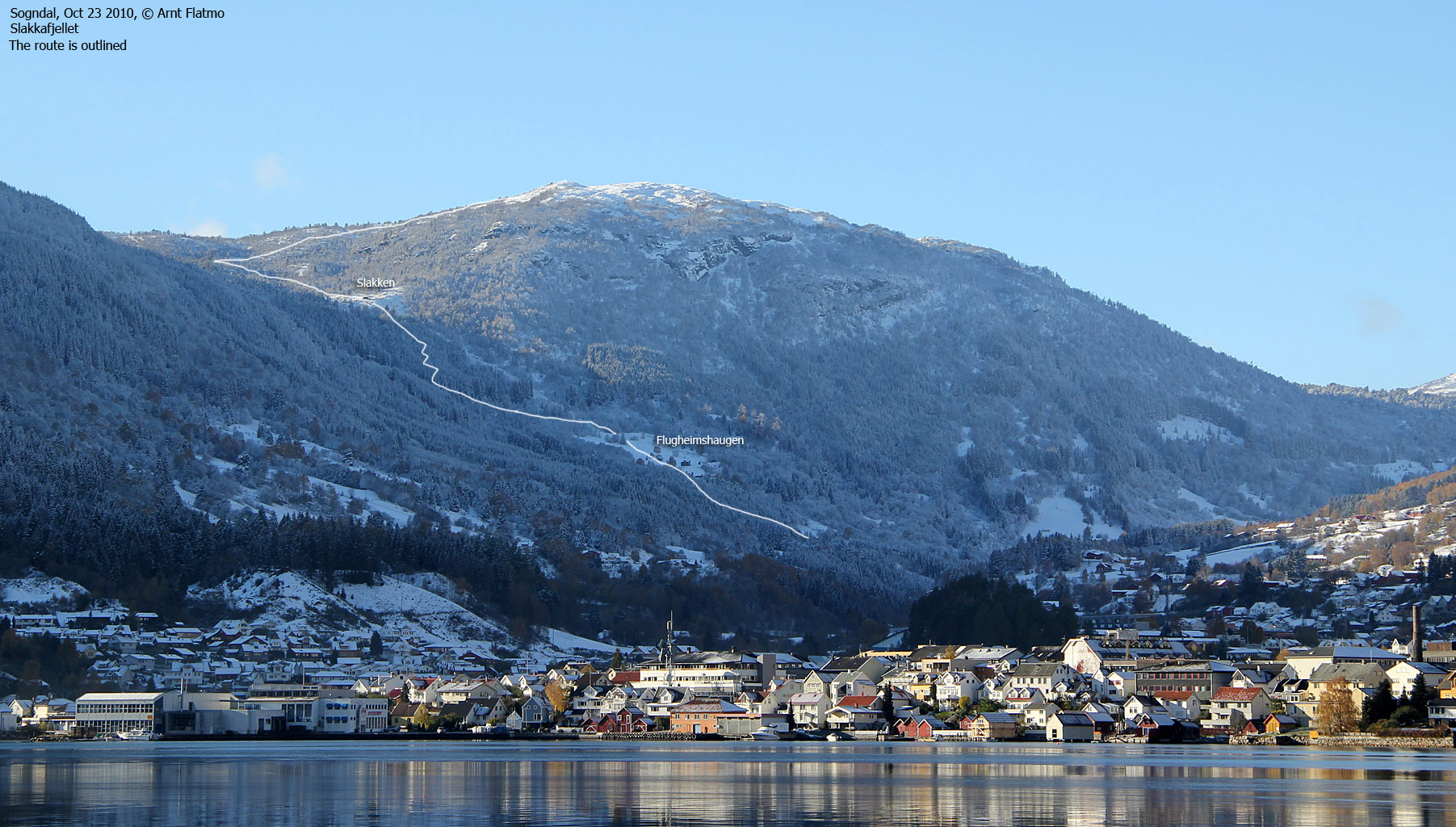
Slakkafjellet is located just west of Sogndal, but is far less visited than other "city" mountains such as Stedjeåsen, Hesteggi and Nuken. Slakkafjellet can be reached from most directions (perhaps with exception of the south) and this page will describe a route from Sogndalsdalen - via Flugheimshaugen and Slakken. This route can also be skied during the winter.
On the way to the top, you'll have an excellent view towards Sogndal;

Slakkafjellet (Norge 1:50,000: 855m, Økonomisk Kartverk: 854,95m, UTM 32 V 393267 6789756) has a primary factor of 242m towards the higher parent Dyrhovden (943m). The defining saddle (approx. UTM 32 V 391638 6790976) is found just south of Ådnahovden. Ref. Norge 1:50,000 (20m contours), the saddle is within the range 610-615, interpolated to 613m.
GPS measurement read 862m (on top the cairn - 2m), averaged over a 5-minute period (error margin +/- 0,7m).

Google's interactive map. You can zoom, pan and click on the markers.
|
|
|
|
Route 1: Sogndalsdalen - Slakkafjellet (all seasons)
|
|
This route description is valid per Oct 2010
Access
(all distances are approx. distances)
The nearest bigger town is Sogndal (has an airport). From the RV5/RV55 roundabout in Sogndal, follow RV5 towards Fjærland for 700 meters. Turn left towards Lereim (signposted). Follow this road for 2,2km. Find parking on the right hand side of the road (N61.23035 E7.04529) - 50 meters before a bridge.
The route
Cross the road and follow a tractor road 700 meters up to Flugheimshaugen (N61.22815 E7.03723). Go through the gate, turn left, cross a field (on the outskirts), go through one more gate, turn right, cross the field and locate another tractor road at the third gate.
Follow the tractor road until you see the Slakken signpost. Turn right here and follow a forest path until you join the power line just below Slakken (N61.22433 E7.02616). Head up to Slakken and continue along the power line up a steep hill. Once past this hill, start looking for a route up Slakkafjellet in the northwest direction. Look for corridors in the forest. There may be a path, but I visited this mountain after a snow fall and didn't see any path above Slakken.
You'll pass a viewpoint cairn 180 meters southeast of the summit (N61.22755 E7.01215) which is marked by a medium-sized cairn.

|
|