Norwegian Mountains, Sogn og FjordaneNipa, 867m
|
| Fylke/Kommune : | Sogn og Fjordane/Luster | ||||||||||||||||||
| Maps : | 1417-IV Solvorn (Statens Kartverk, Norge 1:50 000) | ||||||||||||||||||
| Primary factor : | 154m | ||||||||||||||||||
| Hiked : | Mar 2010 | ||||||||||||||||||
| See also : |
| ||||||||||||||||||
| See also : | Other Sogn og Fjordane mountains on westcoastpeaks.com |

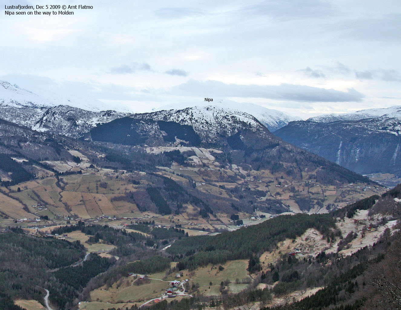
Nipa rises 867 meters above Gaupnefjorden and has a steep east face towards Gaupne. The normal routes run from Indre Hafslo (south) and Folabrekka (north). If you follow the high route to the northwest, you'll cross Asbjørnnosi, Hest, Tverrdalsbreen, Kvitekoll before the final ascent to Jostedalsbreen glacier begins. As there are several Nipa mountain in this region, many refer to this top as Lyngsetenipa (pronounced entirely different in the local dialect).
This page will describe a route from Oppheim (Indre Hafslo). The greater part of the route runs along forest roads and paths. From Røyteholet, you might have to go off-trail the remaining 800 meters up to the top. This is also a nice ski-trip, provided that the snow depth is reasonable...

Nipa (Norge 1:50,000: 867m, Økonomisk Kartverk: 865m contour, UTM 32 V 407114 6807902) has a primary factor of 154m towards the higher parent Krokberg (1356m). The defining saddle (approx. UTM 32 V 406419 6807926) is found in Storeskar, 700 meters west of Nipa. Ref. Økonomisk Kartverk (5m contours), the saddle is within the range 710-715m, interpolated to 713m.
GPS measurement read 872m (on a stick - approx. 1 meter high), averaged over a 5-minute period (error margin not recorded).

Google's interactive map. You can zoom, pan and click on the markers.
|
|
|
|
Route 1: Oppheim - Nipa (winter)
|
|
This route description is valid per Mar 2010
Access
(all distances are approx. distances)
The nearest bigger town is Sogndal (has an airport). From Sogndal, follow highway RV55 (Sognefjellet, Lom) to the north. At Indre Hafslo, turn left towards Lambhaug (signposted). After 460 meters, turn right towards Oppheim/Joranger. Follow the road for 2,8km to Oppheim (stay right in a fork after 2,3km). At Oppheim, turn right again and drive 550 meters up to a farm (switchbacks). Find parking here (N61.38001 E7.26518).
In summer, you can drive all the way to the foot of Storeskar (toll road - NOK 20,-). Another popular starting point is Høgi - 1,3km southwest of the trailhead described above. From Høgi, you can also drive a road that merges with the road from Oppheim.
The route

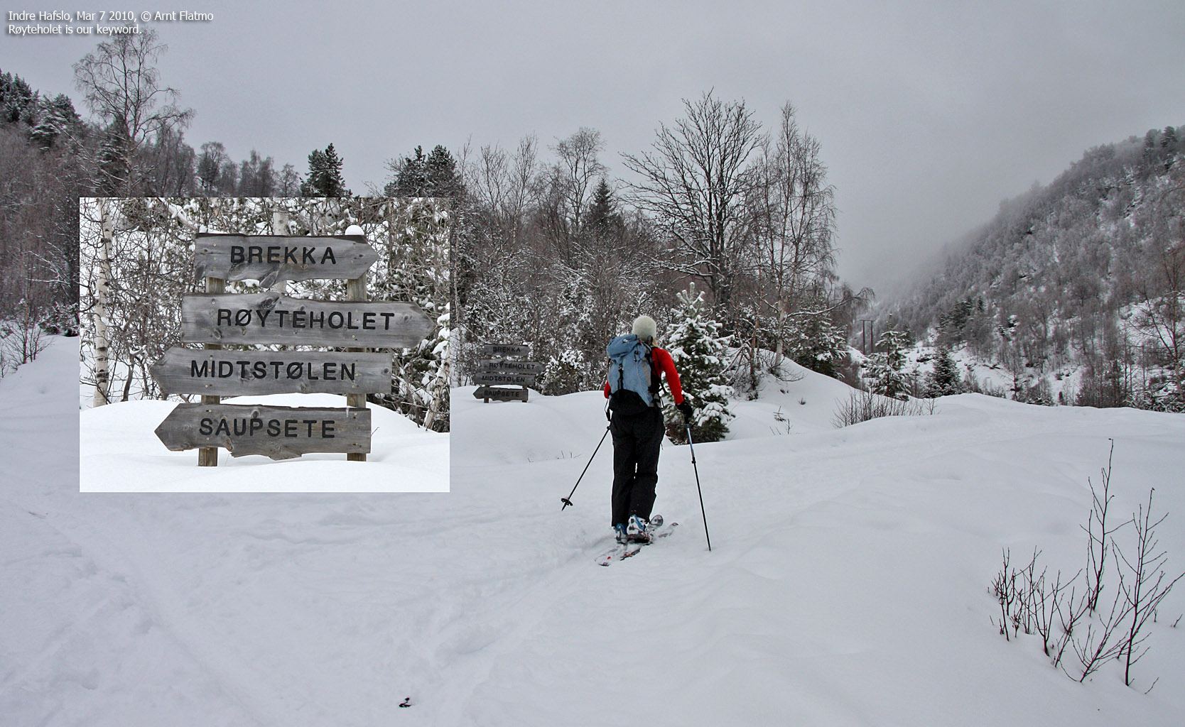
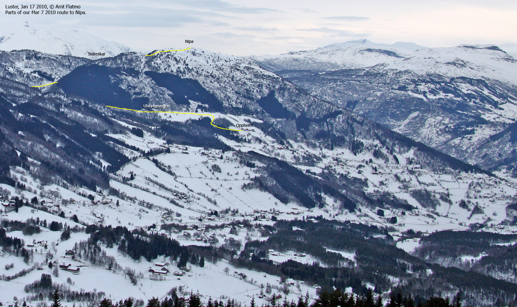
From the parking, follow the road to the west for 1,8km. At a fork (N61.38310 E7.24068), turn right towards Brekka/Røyteholet (signposted). Follow this road for 1,1km into the valley. Follow a path up to Storeskar pass, descend a little bit on the other side, and follow a path northeast to Røyteholet (N61.39624 E7.25372).
From Røyteholet, head south up the small valley between Nipa and Hestaskøyte. Cross the meadow and turn left when you see fit. There may be a path here, but we were on a ski-trip and didn't see one. Continue east up to Nipa summit (N61.39388 E7.26089), marked by a stick.
|
|