Norwegian Mountains, OpplandFisketjernnuten, 1527m
|
| Fylke/Kommune : | Oppland/Øystre Slidre | ||||||
| Maps : | 1617-IV Gjende (Statens Kartverk, Norge 1:50 000) | ||||||
| Primary factor : | 137m | ||||||
| Hiked : | Apr 2011 | ||||||
| See also : |
| ||||||
| See also : | Other Oppland mountains on westcoastpeaks.com |

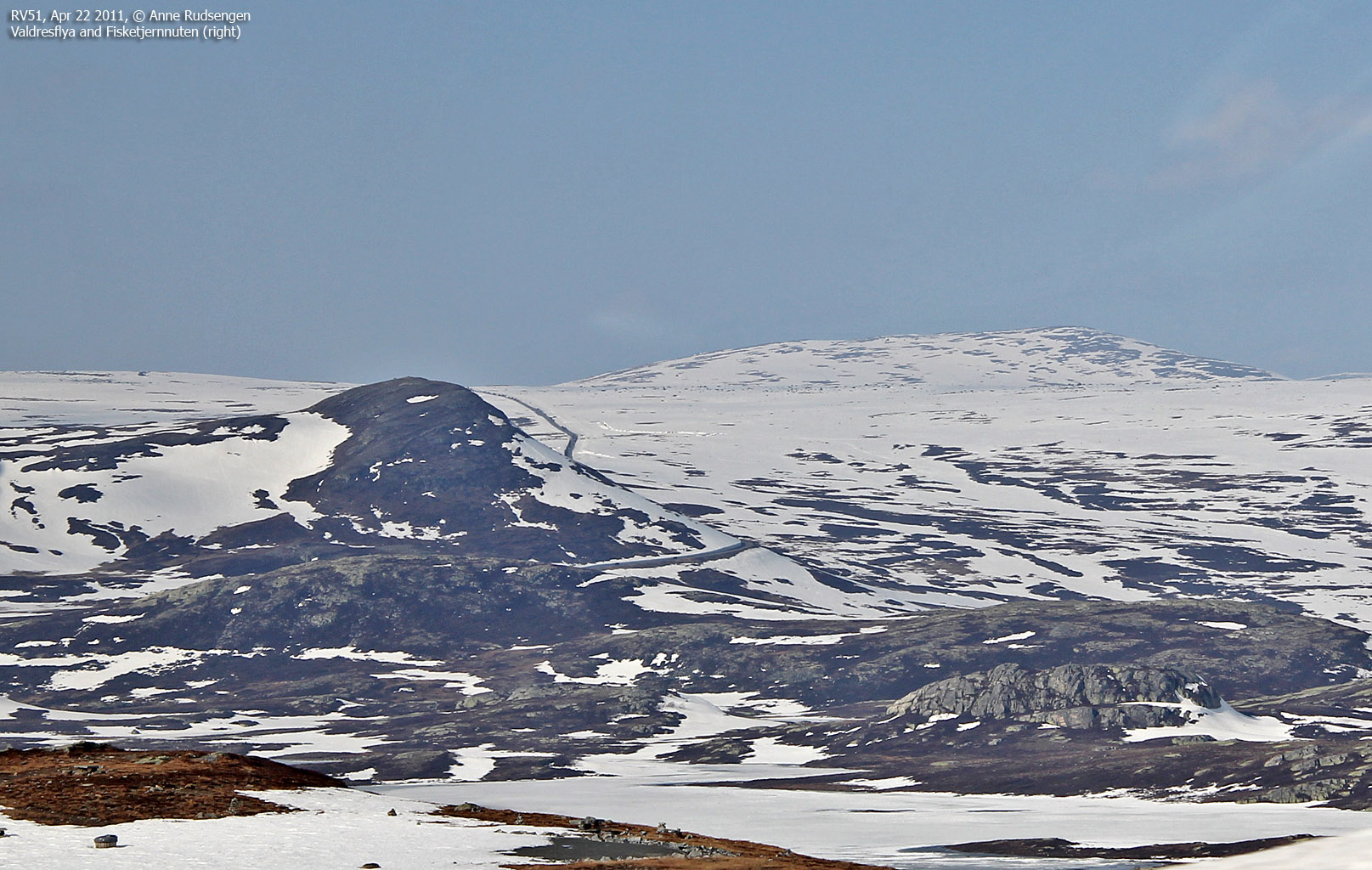
Fisketjernnuten is without a doubt one of Norway's easiest mountains tops to reach - except during winter when the road across Valdresflya is closed. The summit point is only 1,6km northeast of Valdresflya Vandrerhjem along highway RV51 - which is a good starting point.
This may not be the most prominent top in the region, but the view is quite nice. If you're driving across Valdresflya one fine day, why not take the walk up to the top?

Fisketjernnuten (Norge 1:50,000: 1527m, Økonomisk Kartverk: -, UTM 32 V 491246 6807048) has a primary factor of 137m towards the higher parent Rasletinden (2105m) The defining saddle (approx. 32 V 489388 6806015) is found somewhere east Valdresflya Vandrerhjem. Ref. Norge 1:50,000 (20m contours), the saddle is within the range 1380-1400m, interpolated to 1390m.

Google's interactive map. You can zoom, pan and click on the markers.
|
|
|
|
Route 1: Valdresflya - Fisketjernnuten (spring/summer/autumn)
|
|
This route description is valid per Apr 2011
Access
(all distances are approx. distances)
The starting point for this route description is Valdresflya along highway RV51. This road is not open during winter and opens around Easter time. Check vegvesen.no for details. Locate Valdresflya Vandrerhjem (1390m - N61.38993 E8.81164) and find parking there.
The route
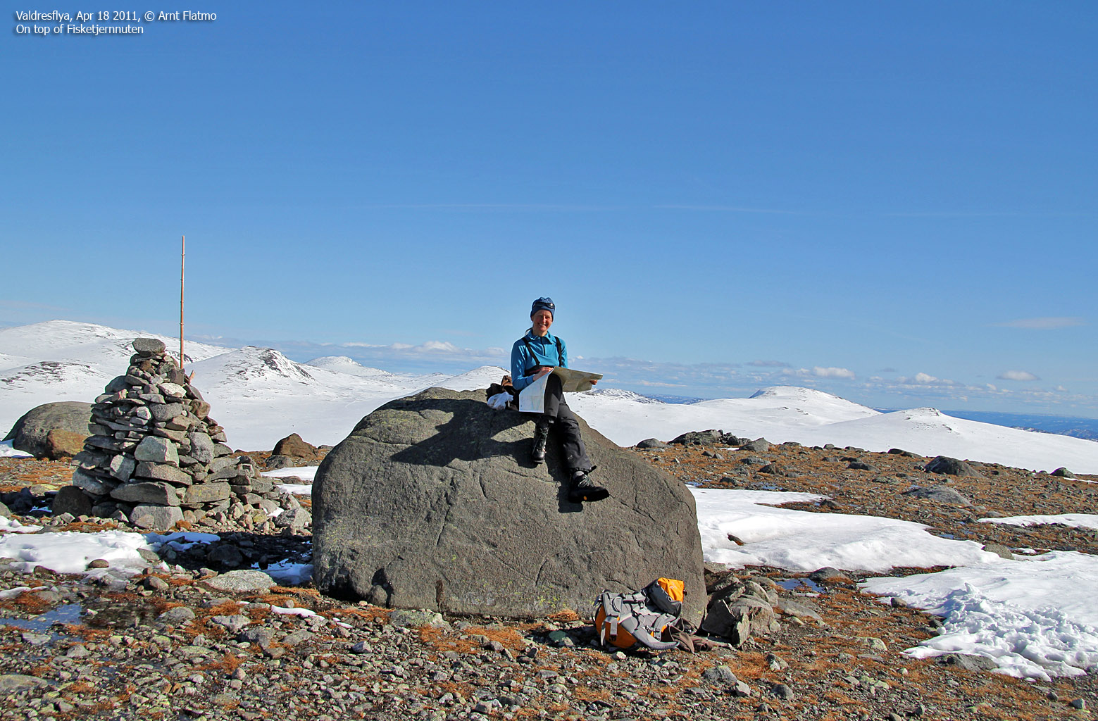
From Valdresflya Vandrerhjem, head (off-trail) northeast and ascend Fisketjernnuten where you see fit. There are no difficult sections, and there may be a path (we didn't see any because of snow). There are two tops on the summit ridge. The high point (N61.39725 E8.83609) is the easternmost of the two tops, and it is marked by a proper cairn (see picture below).

|
|