Norwegian Mountains, NordlandTorghatten, 258m
|
| Fylke/Kommune : | Nordland/Brønnøy | ||||||
| Maps : | 1725-I Brønnøysund (Statens Kartverk, Norge 1:50 000) | ||||||
| Primary factor : | 258m | ||||||
| Hiked : | Aug 2005, Aug 2010 | ||||||
| See also : |
| ||||||
| See also : | Other Nordland mountains on westcoastpeaks.com |

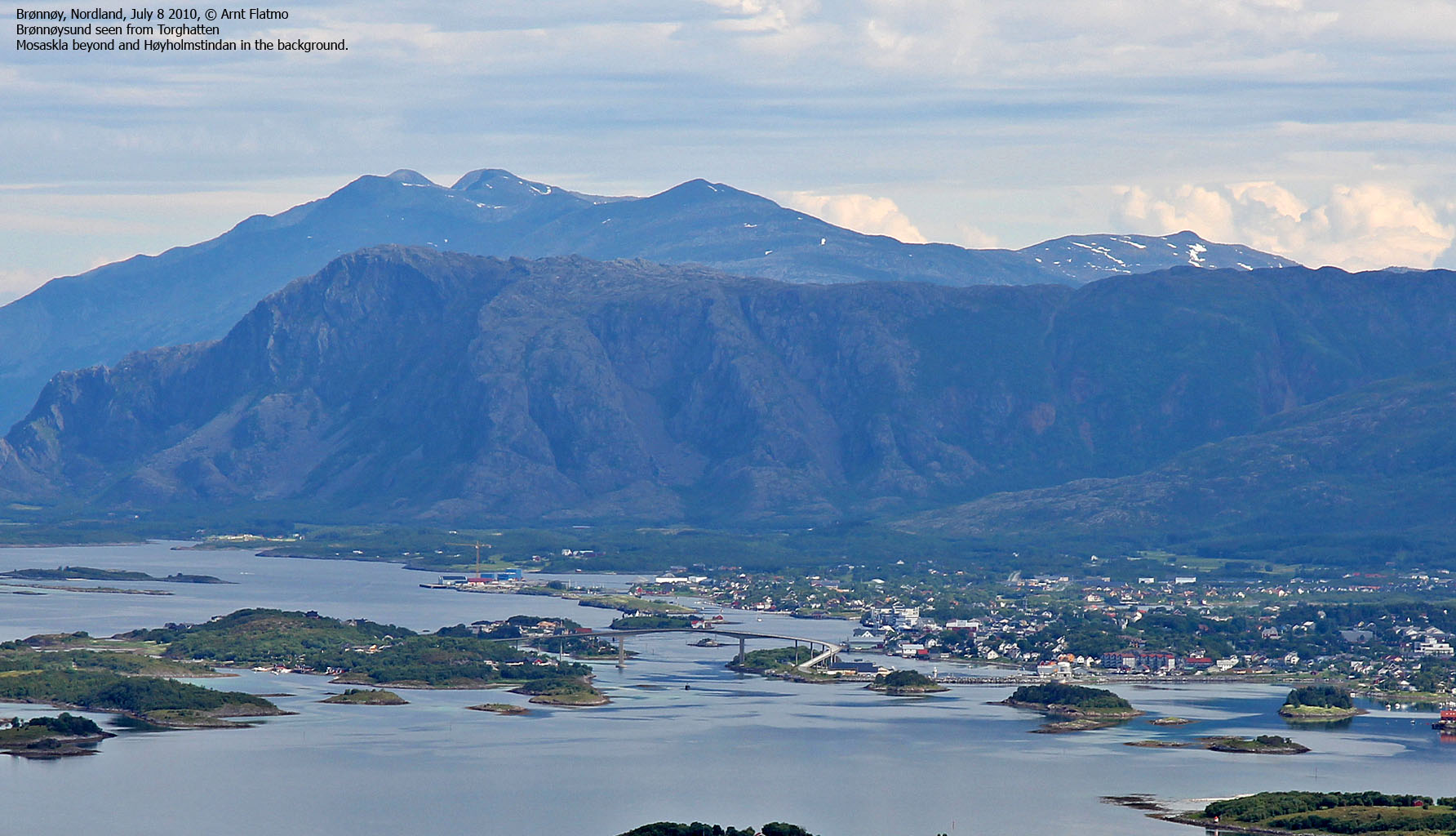
Torghatten (The hat mountain on Torget island) is a coastal landmark that is well known throughout Norway. Foremost because of the famous hole that cuts through the mountain, but also because of the May 1988 plane crash where 36 people lost their lives in the west side of Torghatten. The mountain is located just southwest of the town Brønnøysund, located in Nordland county. The mountain is also admired by the thousands who pass Brønnøysund on "Hurtigruten" ("the Coastal Express").
Much have been said and written about Torghatten, and a lot of information can be found on this page (Norwegian language). Naturally, there will be myths connected to a characteristic mountain like this. The above page describes the legend about Torghatten. In English, the legend goes as this (short version):
|
According to legend, the hole was made by the troll Hestmannen while he was chasing the
beautiful girl Lekamøya. As the troll realised he would not get the girl,
he released an arrow to kill her, but the troll-king of Sømna threw his hat into the
arrow's path to save her. The hat turned into the mountain with a hole in the middle.
Source: Wikipedia. Internet keywords: "Torghatten" "legend" |

You can reach both the top and the hole along trails. The hole is a massive tourist attraction, but the top is also a popular goal, being one of the mountains that often is found on the Fjelltrimmen list of mountains. The trail to the top is easy, although there are a couple of steep sections. Fixed chains can be used as handrails.

The view is excellent. From Leka in the south to Syv Søstre in the north and the Bindal, Brønnøy, and Sømna mountains that fade into the vast back-country mountain region towards the east. This web page will describe a round trip that includes both the top and the hole. This route across the top is not suited for everyone. The easiest alternative is to descend the top via the ascent route and then follow the public trail up to the hole.

Torghatten (Norge 1:50,000: 258m, Økonomisk Kartverk: 257,7m, UTM 33 W 364909 7255970) has a primary factor of 258m, being the highest point on Torget island.
GPS measurement read 261m (on the cairn), averaged over a 5-minute period (error margin not recorded).
Torghatten

(Click for larger image)
Google's interactive map. You can zoom, pan and click on the markers.
|
|
|
|
Route 1: Torghatten parking area - the hole (all seasons)
|
|
This route description is valid per July 2010
Access
(all distances are approx. distances)
The starting point is Brønnøysund. Follow signs to Torget, and cross Brønnøysundbrua bridge. From the Torget side of the bridge, drive 10,7Km to Torghatten Camping (turn left in a fork approx. 2,4Km before Torghatten Camping - signposted "Torghatten").
The route

Two trails run from the parking area (N65.39545 E12.09747). The one to the hole is marked "Torghatten". The other is marked "Barnas Turløype" and you follow this trail if you want to visit the summit (see route #2 below).
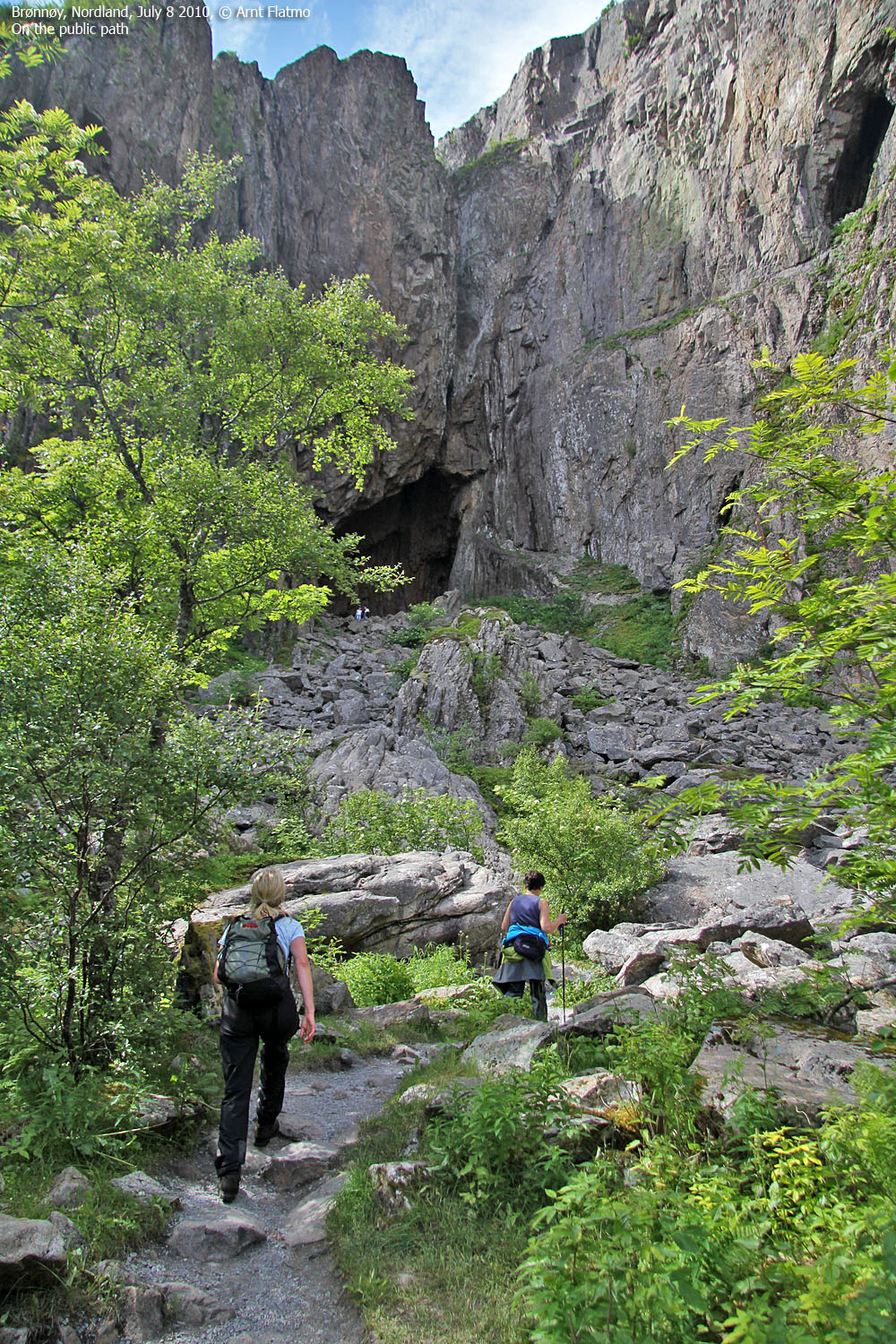
The route to the hole is easy to walk, and there are no steep sections. Descend into the hole on a staircase. Descend the same way you came, or; cross through the hole, and follow the path down on the other side. The path leads you down to the beach, from where you can follow a gravel road back to the parking area. The total distance from the hole to the parking area is 1,8km, and the path down the mountain is similar to the ascent route on the other side.

|
Route 2: Torghatten parking area - the summit (summer/autumn)
|
|
This route description is valid per July 2010
Access
Same as for route #1 above.
The route

Follow the "Barnas Turløype" path from the parking area. After 600m, turn right (N65.39145 E12.08781) onto the mountain path - marked by a red arrow on the left-hand side of the gravel road. The path takes you up to the ridge, and you walk around a small lake before you follow the path up the summit ridge. This ridge has a couple of steep sections, but they are secured by chains. Torghatten summit (N65.39835 E12.09112) is marked by a proper cairn.
Descend your ascent route, or; continue across the top and descend the ridge to the northwest. Stay left of the hump 190 meters northeast of the summit and continue your descent along a vague, but visible path. This is a steep descent, and parts of the path are exposed. Aim for a meadow with a boulder field, and head east (northeast) into the forest. Turn right once you're out of the forest, then follow a small valley 250 meters to the southeast before you turn sharp right and ascend up from the valley. Soon, you will see the hole. After crossing another boulder field, you will hopefully find the path that leads down to the public path. The total distance from the summit and to the hole is 2km.

 westcoastpeaks.com
 Other Nordland mountains
 Other Norwegian mountains