
Norwegian Mountains, Møre og Romsdal
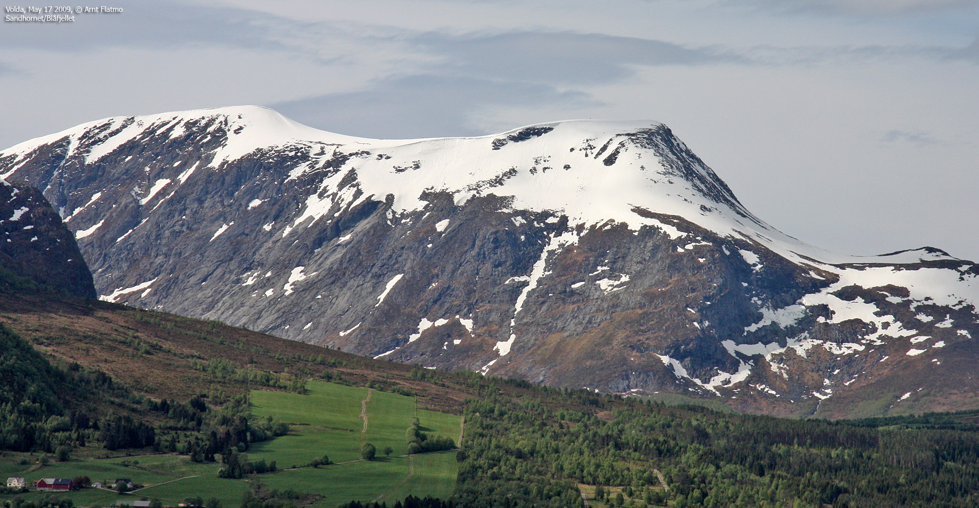
Sandhornet/Blåfjellet from Folkestadvatnet,
May 17 2009
To the main Sandhornet/Blåfjellet page
(maps, pictures, other trip reports)

On the way to Sandhornet/Blåfjellet
(Click for larger image)
After less than 4 hours of sleep, and a 700km non-stop drive Fredrikstad - Gurskøya, I woke 7am to the sound of canons firing(!). Welcome to Norway's National day! One hour later, I successfully completed the crawl out of bed, and the main objective was to get away from civilization as fast as humanly possible. I honour the day itself, but not the parades and the fuss that goes with it. I knew that my friend Åsmund was staying at Folkestad, and that he probably had plans for a hike, so I sent him a message to let him know I was on my way.
I was allowed to choose the mountain, which was probably no big sacrifice for Åsmund, given that he has been to 99,5% of all the mountains in the (vast) region around Folkestad and Volda. I also looked forward to go hiking with Ronja again - a kind - but scary-looking Rottweiler with far too much energy. This would be the third hike in 2009 with Åsmund and Ronja. On the hikes to Kornbergveten and Storetuva, the highlights were Ronja catching snowballs in mid-air. And this hike would not be different in that respect.

Ronja is flying again
(Click for larger image)
On the way up the mountain, I realized that it was (to the day) 5 years since I put the Norwegian flag on top of the highest peak on Greenland. Then I also remembered the National day one year earlier, which I spent on the Storfjellet massif in Haram, together with my late dog Troll. The memories were good. I had planned to also bring the flag to Sandhornet/Blåfjellet, but I couldn't find it. It's still inside one of the many boxes that I haven't opened since moving to Gurskøya.
 May 17 2004
|
 May 17 2008
|
Back to the present, the weather was gorgeous, and the west ridge looked very nice. It was a shame that it only lasted for 200 vertical meters. I could have gone on and on with easy and fun scrambling. We arrived on the summit 12:35pm, 1h:45m after leaving Folkestadvatnet. The map indicated that the west top was the higher of the two tops on this massif, but after missing the high point on Storetuva, I didn't want to take any chances. We headed over to the east top and concluded that the west top was indeed the higher top.
We took a short-cut from the east top, which involved crossing a huge boulder field. We descended along our ascent route, and were back at the trailhead 2:20pm. After being treated with svele (traditional food in these parts of the country), I headed back to Gurskøya, and the National day celebrations had ended by now. To me, it had been a most excellent National day, and it was only proper to call it a day by visiting my local mountain Huldrehornet.

Stunning weather
(Click for larger image)


