
Norwegian Mountains
Blåtinden, Oct 25 2009
To the main Veirahaldet/Blåtinden page (maps, route descriptions, other trip reports, etc.)

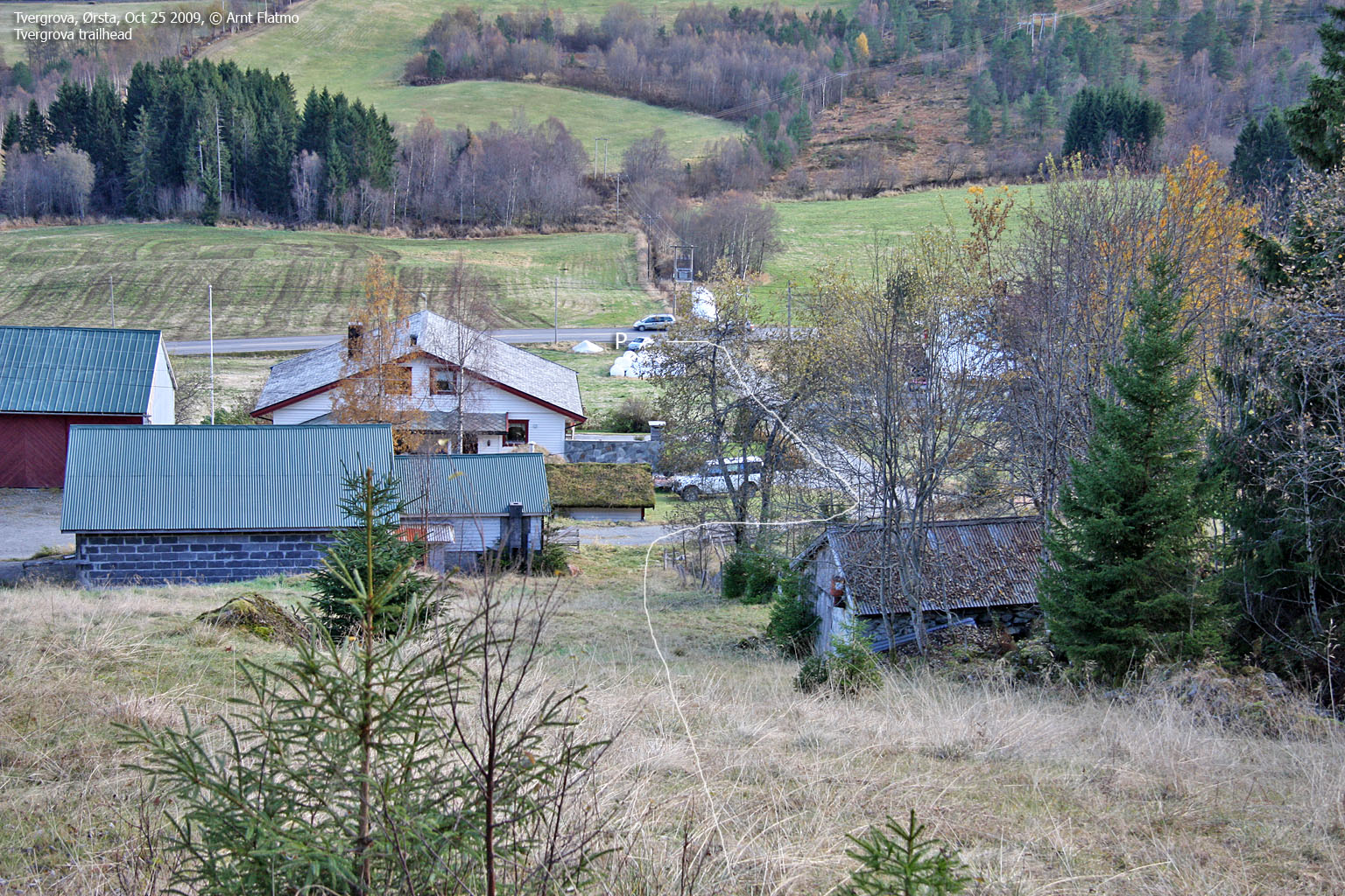
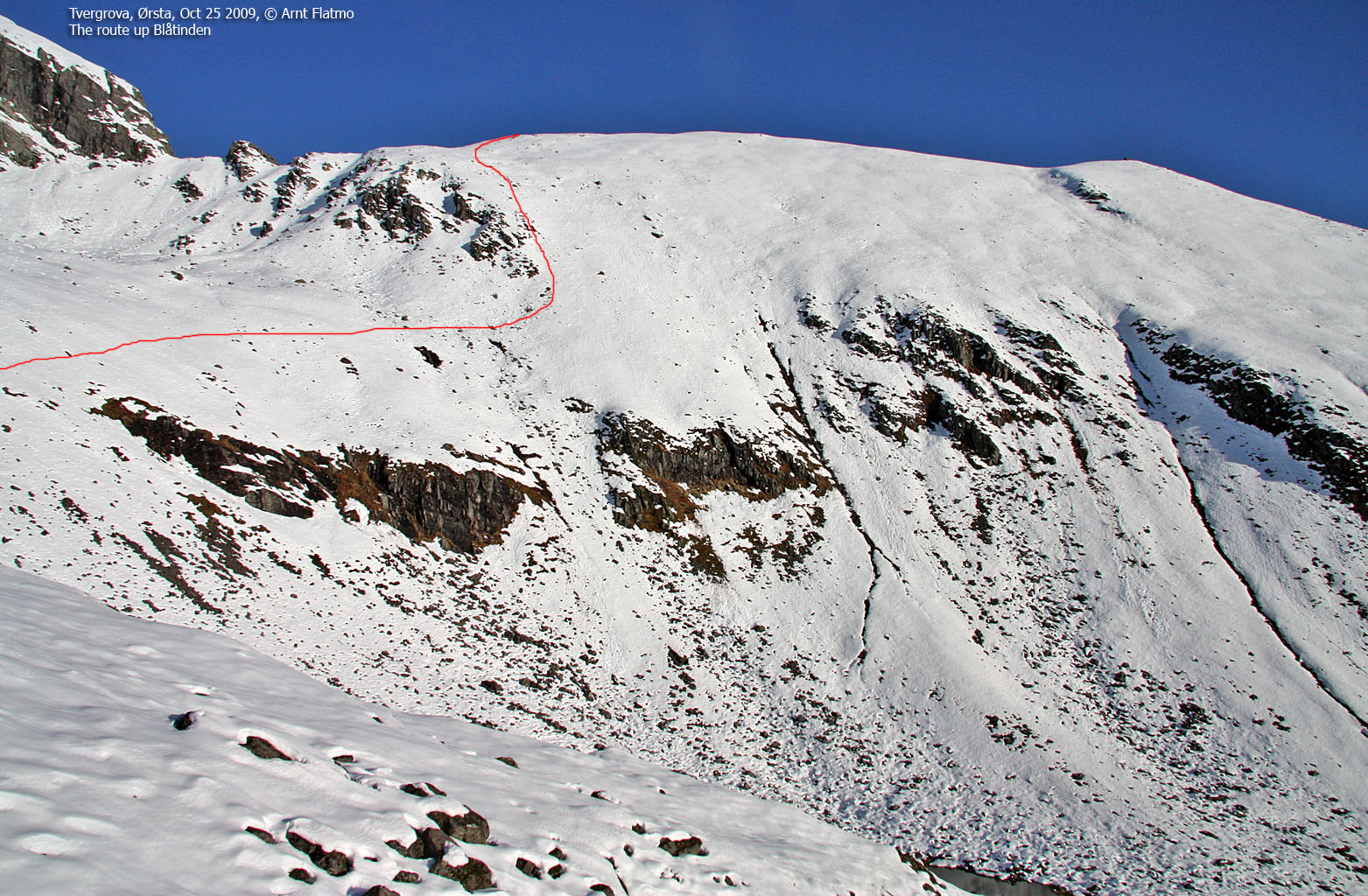
The routes from Tvergrova
(Click for larger image)
My first attempt on Blåtinden was on Dec 6 2008. Then I headed out from Tvergrova on skis, fairly confident that this would be a nice and easy trip. But passing 700m, the snow got hard as ice, and I settled for Veirahaldet instead - challenging enough, given the snow conditions.
Blåtinden was never forgotten about, and on Oct 25 2009, I returned to Tvergrova - without skis this time. The big question was if I should bring the snowshoes I had in my car. But as I had left home without poles, I decided to do this one on foot. This turned out to be very poor judgement..

Blåtinden seen from Tvergrova
(Click for larger image)
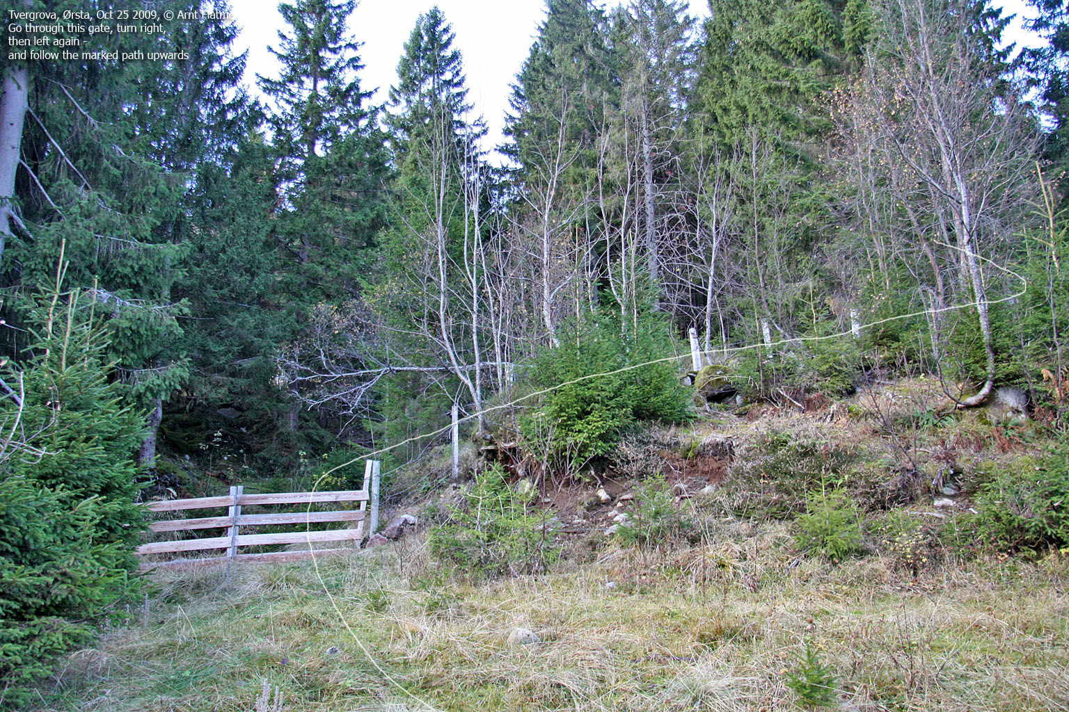
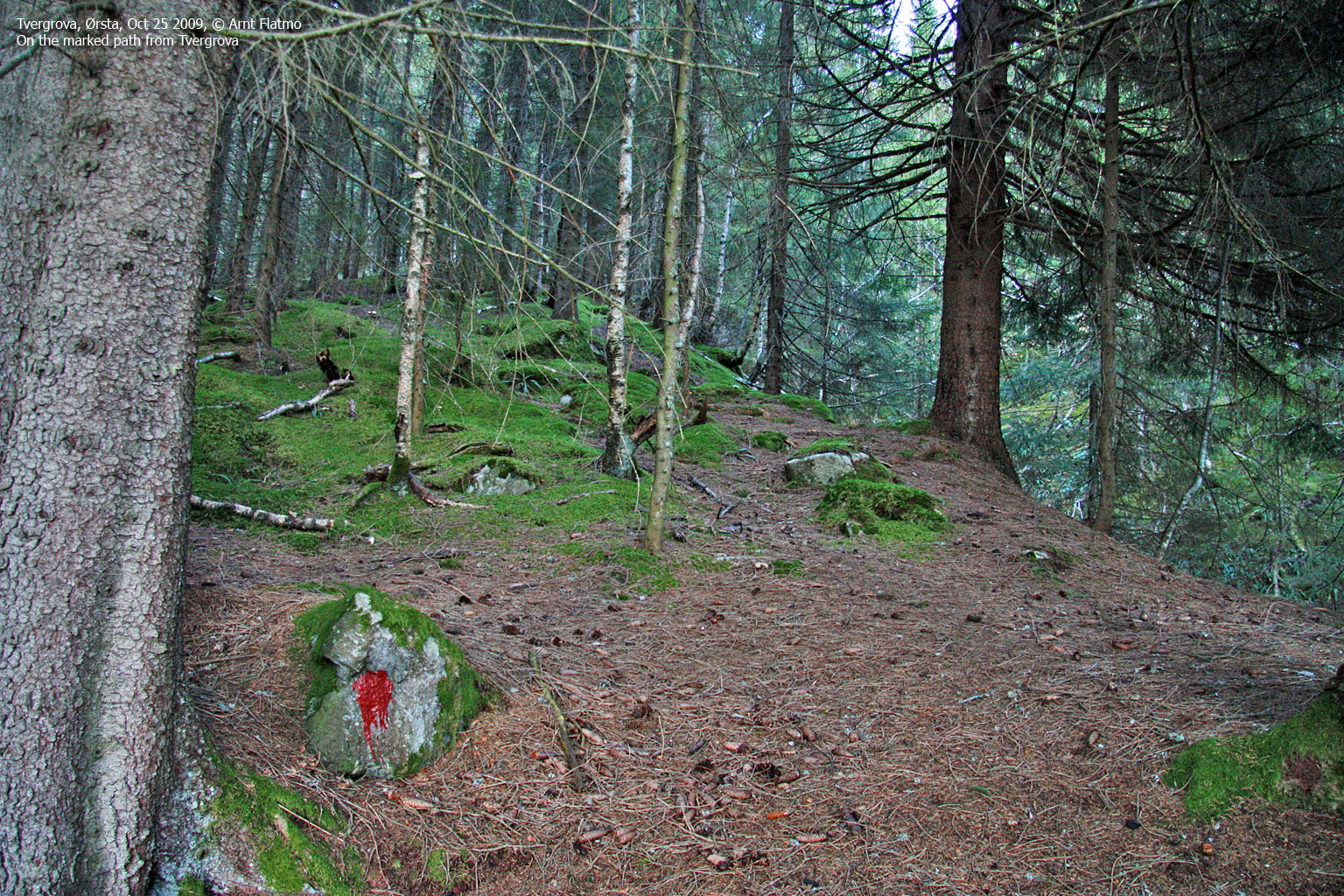
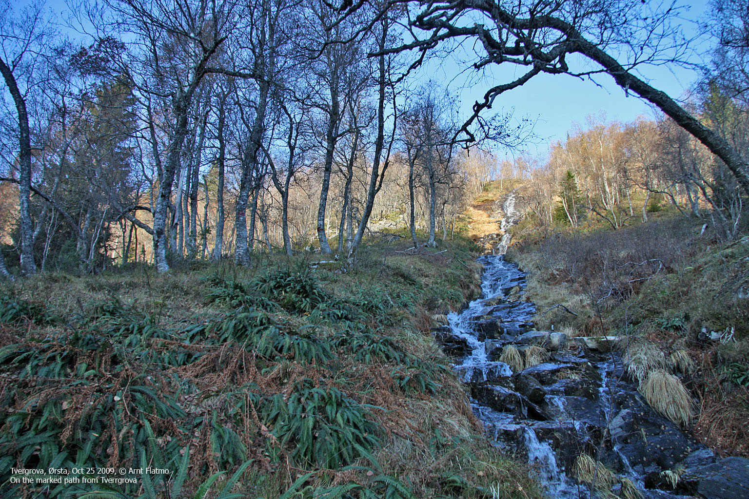
Once in the forest, I came upon a marked path which I followed upwards. This was a bonus, as I had expected to hike this forest off-trail. The weather was beautiful, and I still didn't know about the nightmare that was awaiting..
I reached snow at 600m, which was sooner than I had expected. Another reason for for leaving the snowshoes in the car, was that the temperature was below 0 deg. And, as the snow was carrying my weight - I seemed to be OK. At least so far..

Mountain view
(Click for larger image)
But the sun was melting the snow quickly, and it didn't take long before I started sinking into it. The nightmare began at 680m and the time was 10:22am. 1h:10m later, and after having walked a distance of 970m - I had reached 900m elevation - very low on fuel and motivation. For every second step I made, I sank down to my hip in wet snow. You know the feeling when you think "this one's going to carry", but then it doesn't. Over and over again. I was soaking wet and I don't think my feet have been this cold before. My 0,5L of water was long gone, and I was chewing on peanuts. At 900m, I had to think things through.

On the way up Blåtinden - tired
(Click for larger image)
Cold feet and aggravatingly slow progress aside, I found some motivational factors; the weather was still beautiful, I had plenty of daylight left, I had "only" 300 vertical meters to go, and last but not least - hell if I would turn around for a second time!.
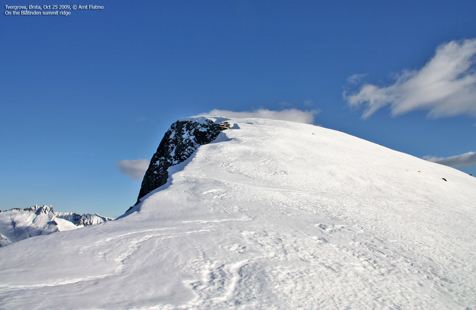
When I arrived on the ridge, I could hardly feel my toes. But the good news was that the snow was much harder up here. After putting crampons on, I continued upwards and reached Blåtinden summit 12:19pm. And lo and behold - what an incredible viewpoint!

Arriving on Blåtinden
(Click for larger image)
For apparent reasons, I didn't stick around for long. I was constantly considering if I should take off my boots and warm my feet, but kept postponing it. Gaiters hadn't been of much help - the wet snow had found its way in and it felt like I was walking in two buckets of water.
I hurried down the mountain, which was counter-productive. I took one fall after the other and - at least on two occasions - ended up in what I remember to be "small caves". I considered putting on my rain gear and glissade in the direction of Fjellselva - anything that could get me out of this nightmare! But that didn't seem a very safe alternative, so I decided to stick to my ascent route.
Eventually, I reached the forest. I took my boots off, and the amount of water in the boots and the socks was just incredible. I spent 5-10 minutes giving my feet a good massage before I continued down the forest. 2:15pm, the 4h:50m hike was over. It felt insanely good to change into dry clothes, and the hot dog in Ørsta was ... man!
Was it all worth it? The answer is - undeniably, unquestionably, indisputably yes! - because of the "front row" view towards the finest of all Sunnmøre peaks - Vassdalstinden.

Vassdalstinden
(Click for larger image)


