
To the main Urfjellet page
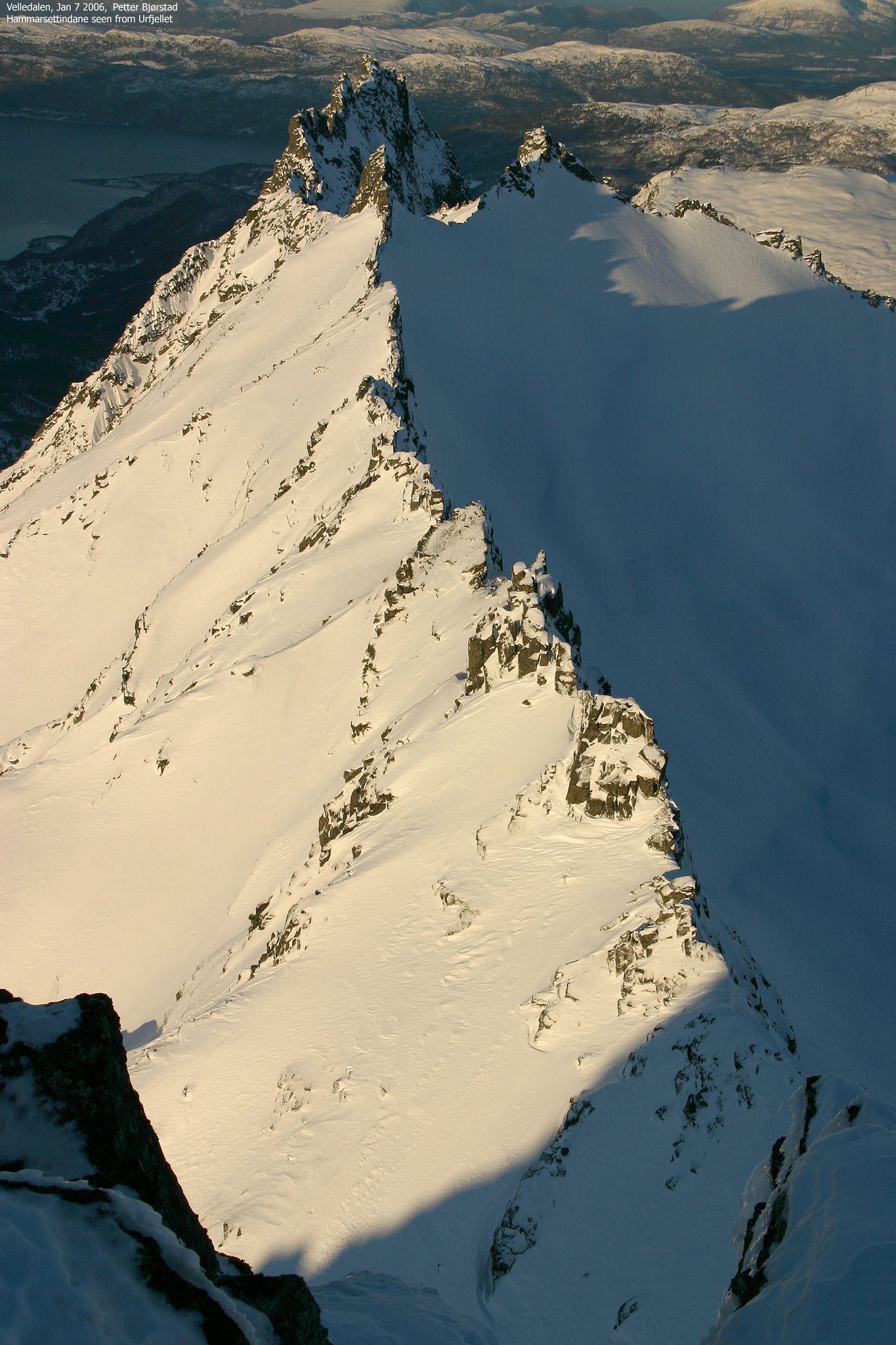
This was the first day of my friend Petter's two-day stay in Ålesund. A forecast that promised outstanding weather made him book a flight on short notice. Urfjellet was Petter's choice, picked from his list of the FINEST Møre og Romsdal mountains. I had been looking at the Hammarsettindane arete from various mountains since I moved to Ålesund, and I had not in my wildest dreams pictured that I would be standing on the high point 14 days after moving here.
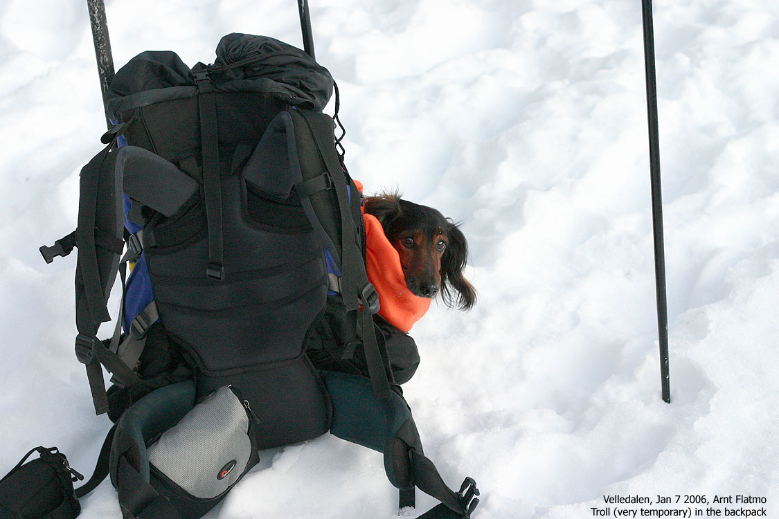
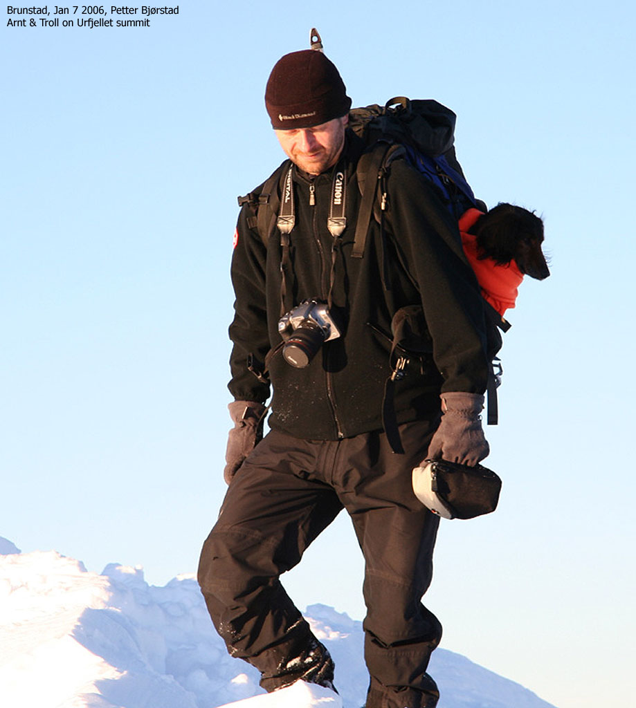
I was slightly concerned about carrying my little dog Troll all the way to the summit, but we just had to make the best of it. Perhaps he would be able to walk for a short distance. That would be a bonus. In addition to skis, we brought ice-axes and crampons. No telling what might be needed on a mountain such as this, although the information that was available to us didn't report any particular challenges.
We had an early start from Ålesund and could enjoy the dawn along the way to Sykkylven. We quickly located the forest road at Hjorthol. Me, the eager beaver, had seen a tiny turnout alongside the highway and attempted a clever parking. This resulted in the car being dead stuck in the snow, and we had to dig our way out of this problem. 30 minutes later, we found it best to park down at Brunstad, and by 09:40AM, we were on our way. The snow conditions allowed Troll to walk by himself - an early bonus on my account.
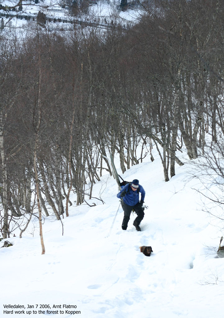
A forest road fork made us a bit confused, and after some skiing back and forth, we found the forest path. Someone had walked up here earlier in the season, and the tracks were HIGHLY welcome. Not only did they point the way up the forest, but they also made it possible for Troll to keep on walking. The skis had to come off here. Even with skins, this forest was too steep for skiing.
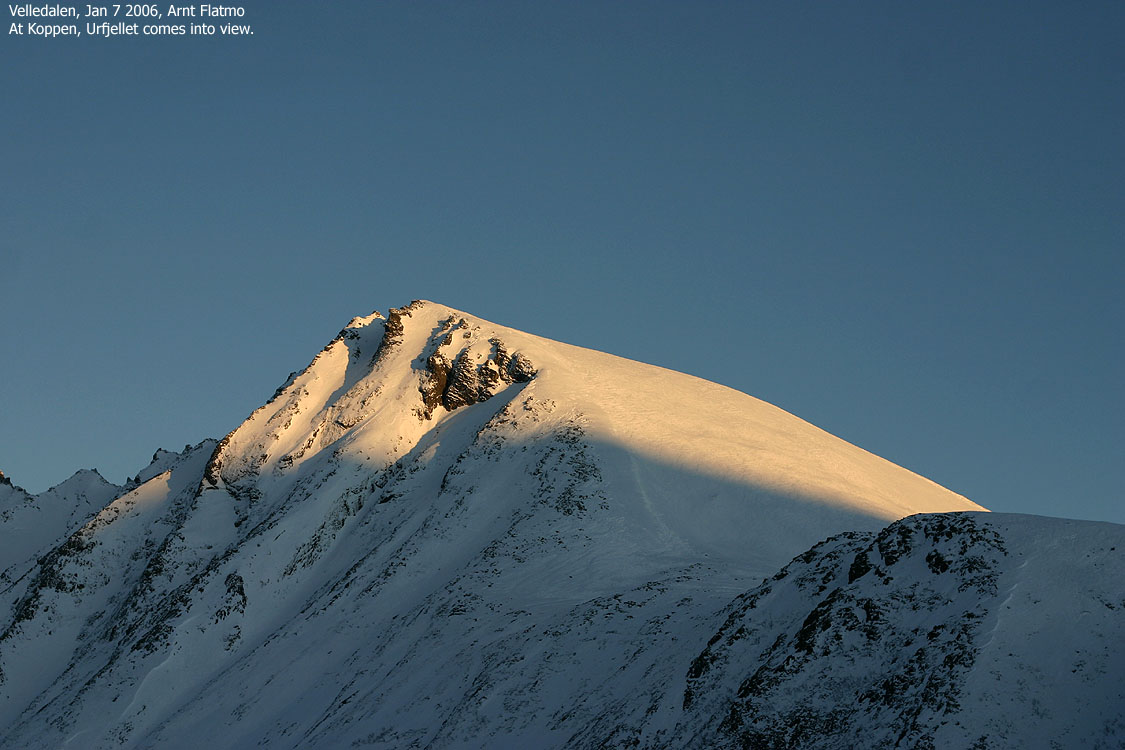
The tracks ended at a viewpoint at approx. 450m elevation. Troll entered the backpack, and we could put the skis back on. We continued up to the Koppen pass, where we had the rest of the route in clear view. From distance, the hill didn't seem that big. But we had still 750 vertical meters ahead of us. Certainly, the remaining distance would call for some effort.
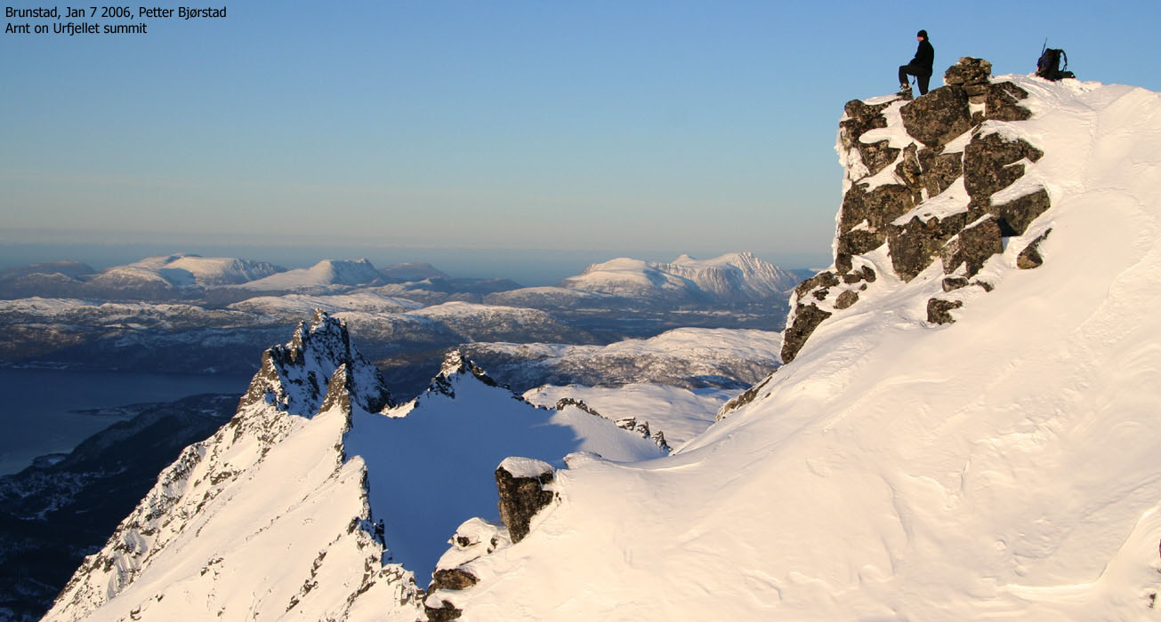
As promised, the weather was just amazing. It was the first week of January. The sky was crystal clear and no winds, whatsoever. Opposite to normal, I had to remove layers of clothing proportionally to the vertical gain. Sometimes one experience days when the body isn't the perfect co-player, and I had one of these days with headache and aching shoulders. I became very tired as we took on the final 400m hill, and the damned hill NEVER seemed to end. But of course it did, at last, and by 13:15PM, we were standing on the top of Urfjellet.
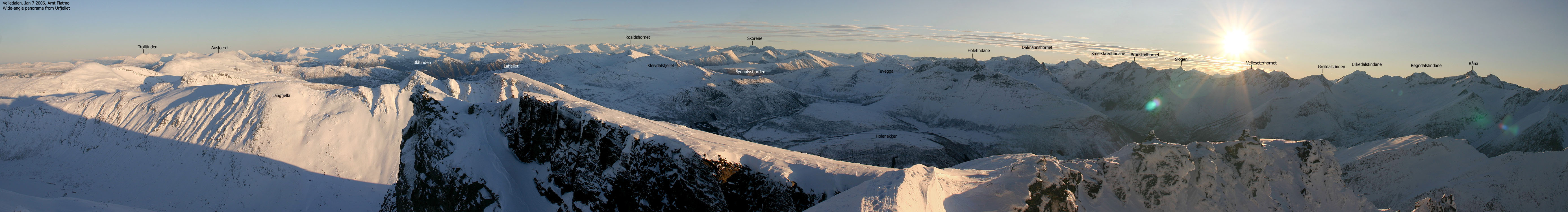
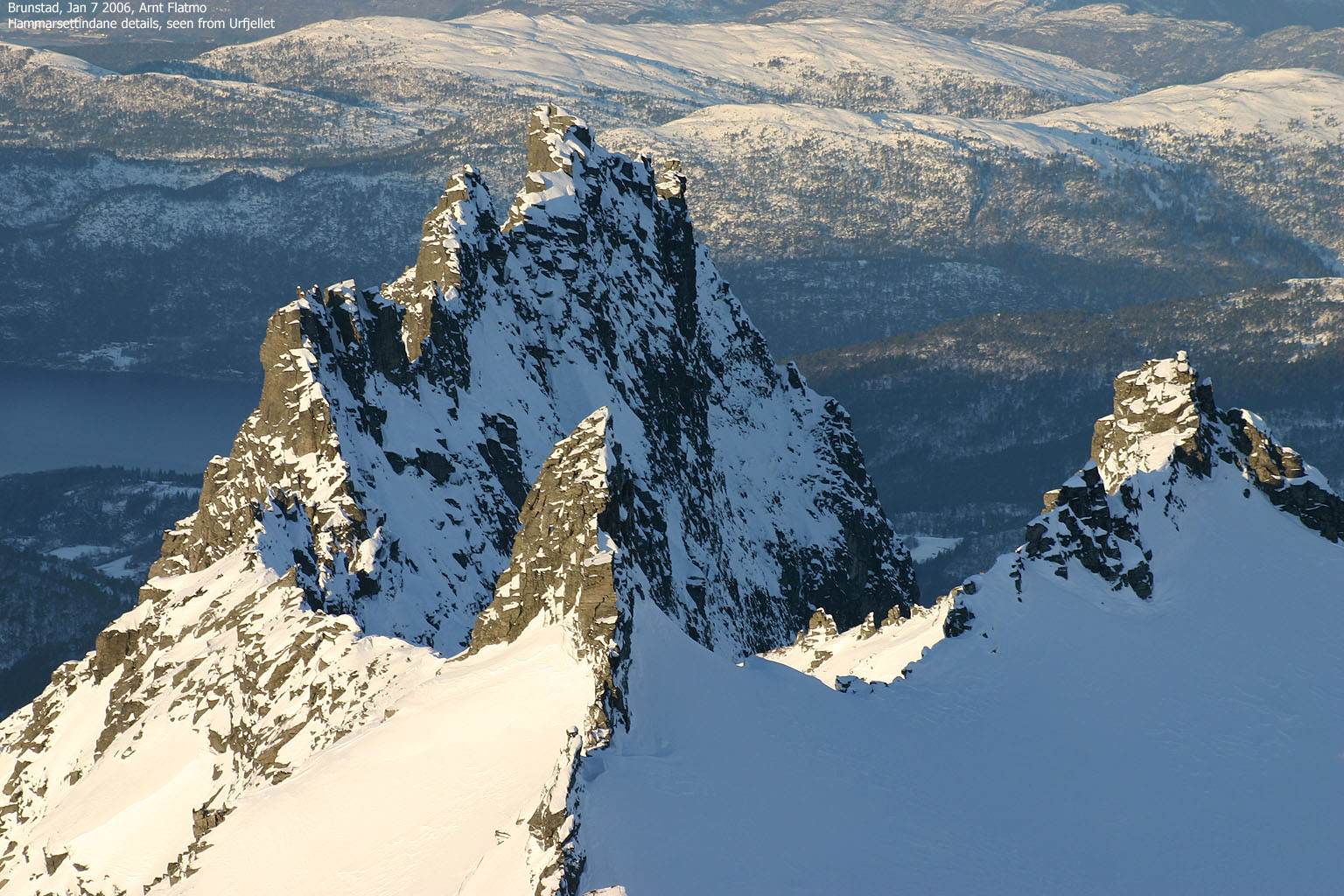
I looked down on Hammarsettindane - the "pinnacles from hell" and the countless peaks in all directions. And became speachless. It was a landscape beyond comprehension. And I was relieved about the fact that Hammarsettindane were NOT our descent route. The summit point wasn't a wide spot. Petter and I had to carefully exchange positions when taking panoramic pictures. Troll was firmly secured in the backpack. I didn't care how much as he wanted to get out of there, this was not a place for a dog. The short ridge to the summit point was airy, but very unproblematic with the current snow conditions. One could walk back and forth without using the ice-axe.
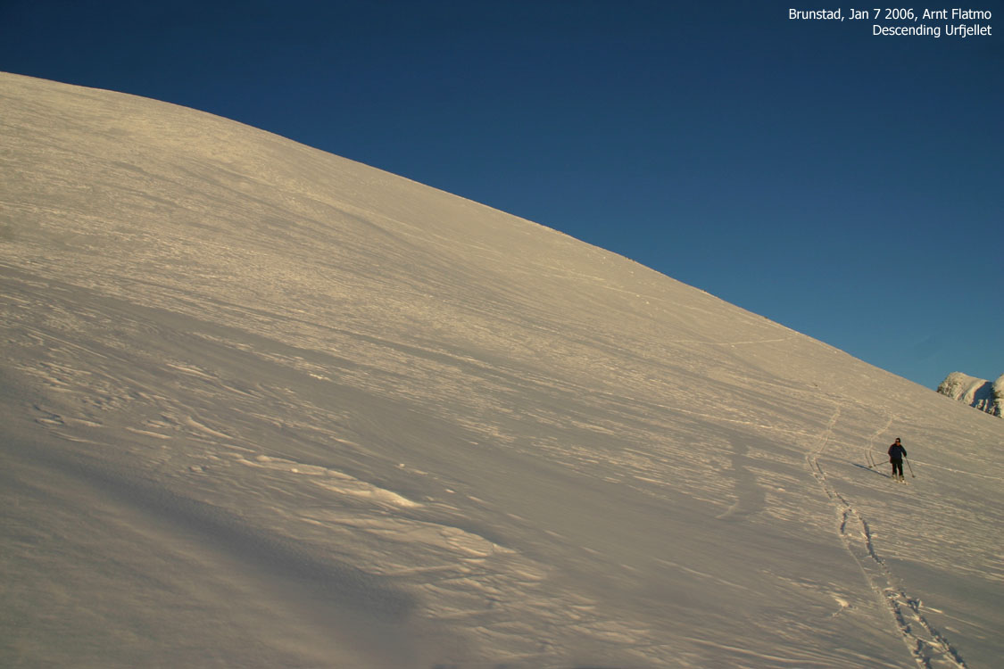
It was time to head back down, which I didn't look forward to. With a dog, camera, GPS, ice-axe and crampons in the backpack, falling was rather out of the question. With good snow, this wouldn't have been a concern, but the steep hill contained a mix of small cornices, icy crust and powder snow. We also noticed tracks from Telemark skiers that obviously had better skiing conditions some days earlier.
We made it down to Koppen, safe and sound. Back at the 450m viewpoint, Troll was free to walk again. And by 15:05PM, we were back at the Brunstad trailhead. A wonderful 5,5 hour trip was over, and we could begin focusing on the goal for the next day - Blåskjerdingen.
To Urfjellet


Summit views, wide-angle


Summit views, 50mm


Hammarsettindane


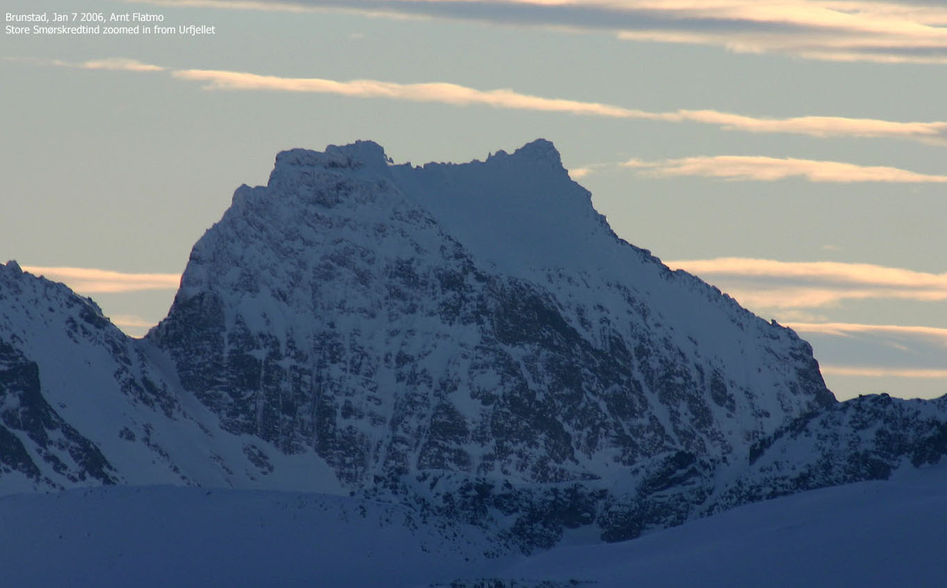
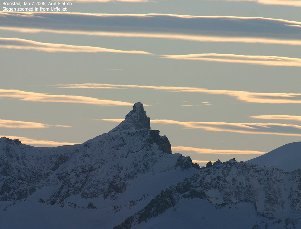
Zooms from Urfjellet, up to 300mm (480m digital)


Descent


No Javascript:
1 2 3 4 5 6 7 8 9 10 11 12 13 14 15 16 17 18 19 20 21 22 23 24 25 26 27 28 29 30 31 32 33 34 35 36 37 38 39 40 41
 westcoastpeaks.com
Other Møre & Romsdal mountains
Other Norwegian mountains
westcoastpeaks.com
Other Møre & Romsdal mountains
Other Norwegian mountains