
Ulriken, 643m
|
 Ulriken seen from Korketrekkeren trail |
Montana - Ulriken scrambling trail
| Difficulty: | Class 3 (US grade) |
| Risk: | Caution. Falling should be avoided |
The classic hike from Montana via Langrinden and Ulriken tower, all the way to the Ulriken high point at 643m allow for some interesting scrambling, off the trail.
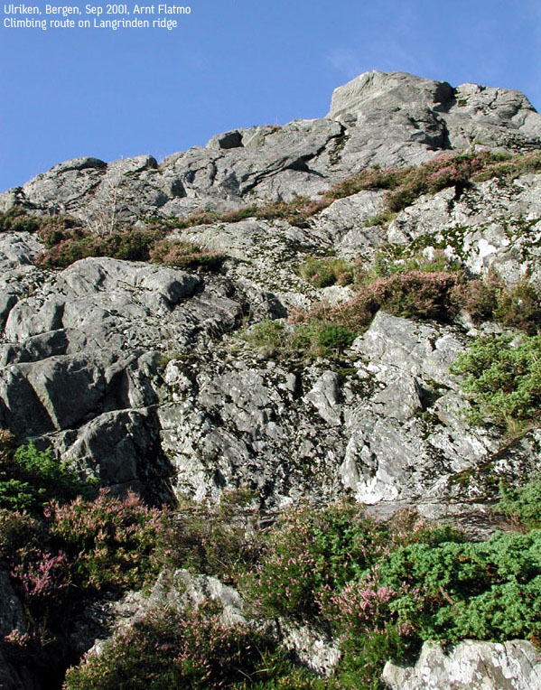
The first climb is the lower cliff as soon as you're out of the forest. Caution is called for while climbing. The handholds are good, but some of the ledges are a bit narrow. Picture 1 shows the cliff from further down the trail. The picture is a bit flattened. Picture 2 shows the cliff from close distance.
The second climb is on the left-hand side from a large rock further up. This is much easier, and does not offer the same kind of exposure. This picture shows the first two climbs from a different angle.
The third climb is from the beginning of the handrails up to the Ulriken tower. Again, this is an easy climbing, only calling for mild use of hands for control.
The fourth climb is any difficult route up to the Ulriken high point behind the Ulriken tower. As Petter Bjørstad and I was climbing up here, we encountered several good routes. On one of them, we had to give up due to a difficult entrance at the start of the climb. We will probably try this again, but with a rope for safety.
BACK to mail Ulriken page