
Norwegian Mountains, Møre og RomsdalTjønesfjellet, Nov 10 2007
This route is described on the Tjønesfjellet main page.
The route
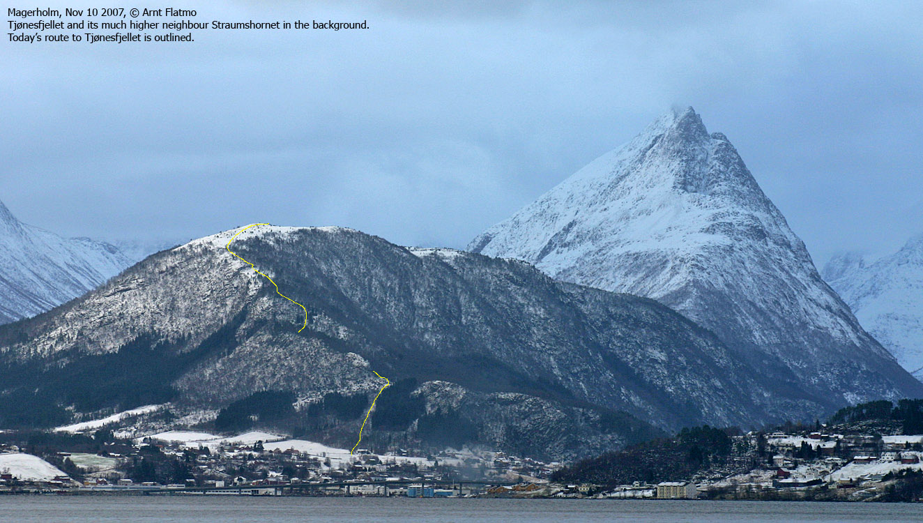
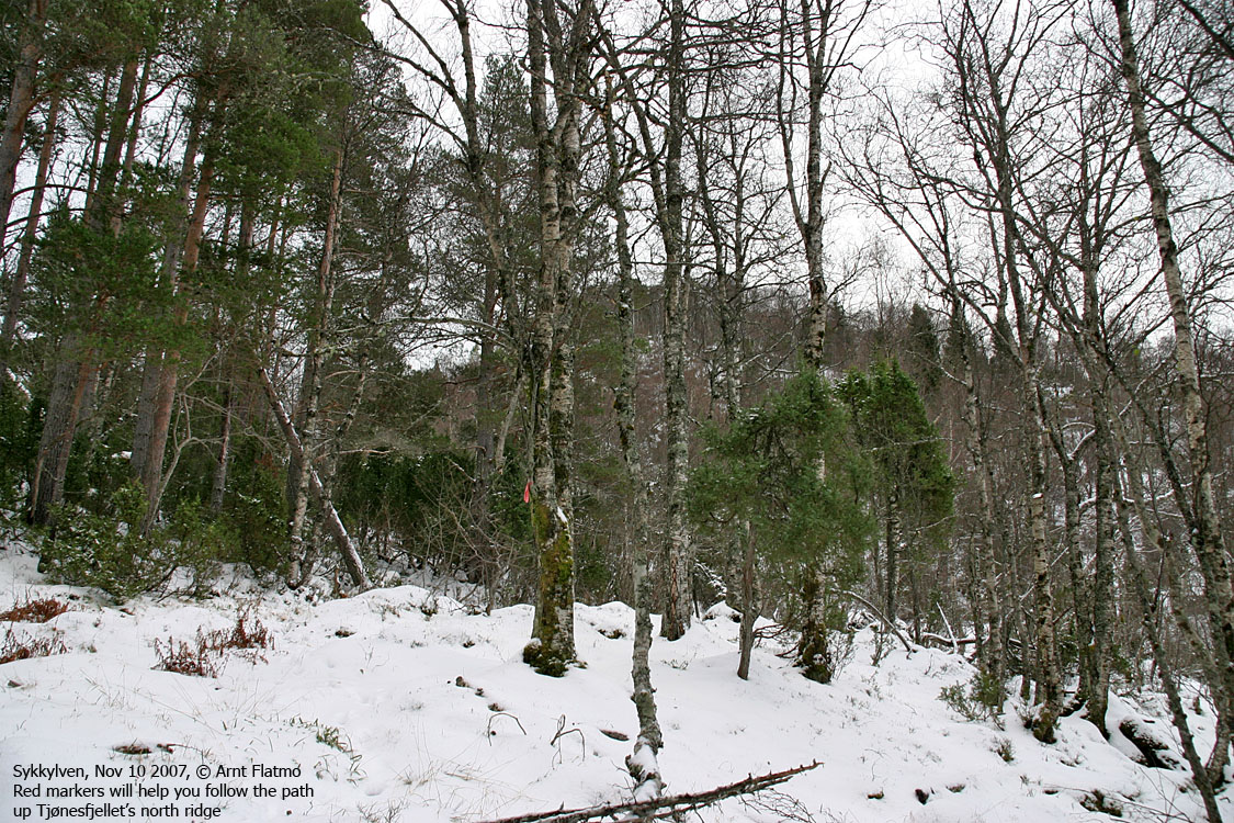
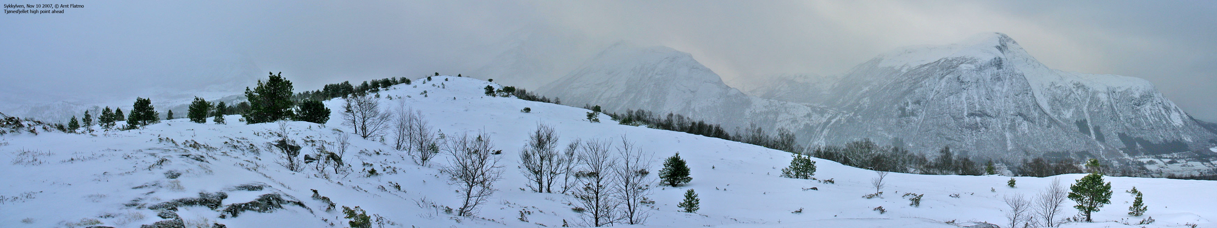
Sigh... This Saturday was yet another unpleasant one. Well, it's quite OK to have the day off, but the weather was disgusting. Angry hail showers at sea level, causing difficult (and dangerous) driving conditions, and snowfall > 300m. Still, I wanted to get myself a little walk and decided to take a trip to Sykkylven. My good neighbour Pål volunteered to look after "Troll". This wasn't necessary a hike that my little buddy would enjoy. Tjø = Ty? Arriving Sykkylven, I asked quite a bit around about the path up Tjønesfjellet's north ridge. No one had heard of the mountain, and it didn't seem to help when I pointed at it. After 4 attempts, things improved. The Sykkylven locals call this mountain Tynnesfjellet, and stood no chance of understanding a guy with Oslo dialect, asking for Tjø-nesfjellet. Snow, and lots of it. I found the trailhead at last. I had considered hiking from Straumgjerdet, but this route would be much shorter. Driving up Vikedalen was not an option unless I had a SUV. I left the trailhead 13:10PM and found the path fairly quickly. I was able to follow it all the way up to 300m where I lost track of it. The direction was however quite obvious, and with the current amount of snow in the forest, there would have been little point in following one. It was a good 30cm snow above 400m elevation. I was SO glad that I wasn't carrying my little buddy (the dog..) in the backpack. The hike was strenuous enough as it was. This ridge wasn't exactly skiing terrain, but I should have brought snowshoes. I reached the top of Tjønesfjellet 14:11PM, after one hour on foot, and it was snowing quite heavy by now. Into the forest I wanted to take a different route back down, but didn't feel like hiking across the ridge. So I took a direct shortcut eastbound, aiming for a forest road that I saw on a map. I feared that I was heading into a thick spruce forest, but the forest wasn't so bad after all. No problems whatsoever. With the amount of snow, I could keep a good pace, and didn't have to worry about holes or other obstacles. I reached the forest road 20 minutes after leaving the top. There I met a guy and his puppy dog on their way upwards. It was snowing quite heavy by now and I wondered if chains were needed to safely drive down the steep hill to the main road. It was however snowing less down by the trailhead (80m elev.), and 14:55PM, I was on my way back home to Ålesund. The weather turned r e a l l y shitty as I entered the ferry, and I was very quite about having found the will to go outdoors on such a day.
Pictures
Slideshow, all pics on this page:
To Tjønesfjellet
Wide-angle view from Tjønesfjellet
Descent
No Javascript: 0 1 2 3 4 5 6 7 8 9 10 11 12 13 14 15 16 17
|


