
Click here for the main Sulafjellet page.
I wasn't really in hiking "mode", but the dog needed excercise (or at least I assumed he did) and decided to explore the ridge route to Svanshornet. I had been thinking about this trip for a while, and it was just as well to get on with it.
Using the GPS, I ended up by some houses. I didn't see any path, so I rang the closest doorbell. They pointed out the path for me, told me to cross a creek and "continue up the forest". I parked by the mailboxes (see description for route 3.1 on the main Sulafjellet page), and headed out 18:10PM. This would be a long hike, and I put the dog in the backpack. I would let him out above the forest, and he would walk all the way down.
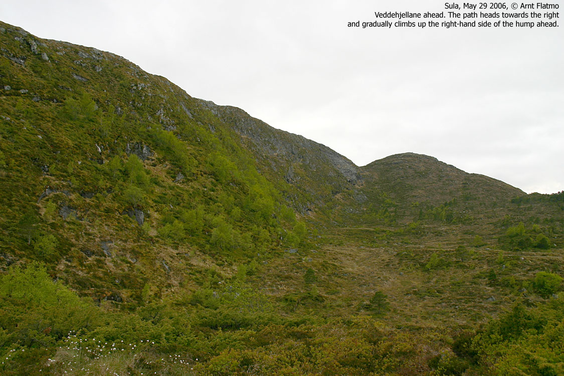
I crossed the creek and found a path heading "up the forest". When I reached Lake Svartevatnet, I had to check the GPS. I couldn't remember anything about a lake on the way upwards. The tracks showed that I hadn't followed the path on the map. I descended back to the creek and accepted the "loss" of 40 vertical meters. I didn't see any other path, so I decided to head into the forest, and traverse systematically back and forth until I found it. It was obvious that the map was wrong here. After close to 600m of wandering about in the forest, I found the path. It was evident that there was a path from the lake to the path I now had stumbled upon. Oh well...
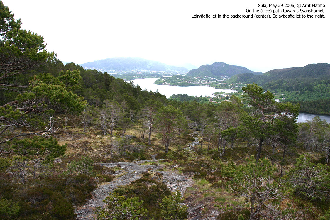
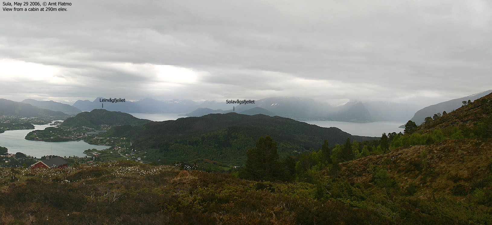
The route upwards was enjoyable. The path was more nature's own trail rather than a man-made one. Having lost time down in the forest, I kept Troll in the backpack and walked rather quick up the forest. When I reached Purketjønna, I let him out. We reached Svanshornet 19:20PM. It was a cloudy and grey afternoon, and I hoped it wouldn't start raining. I decided to follow the same path back down, and after following the correct path down in the forest, we were back at the car 20:15PM
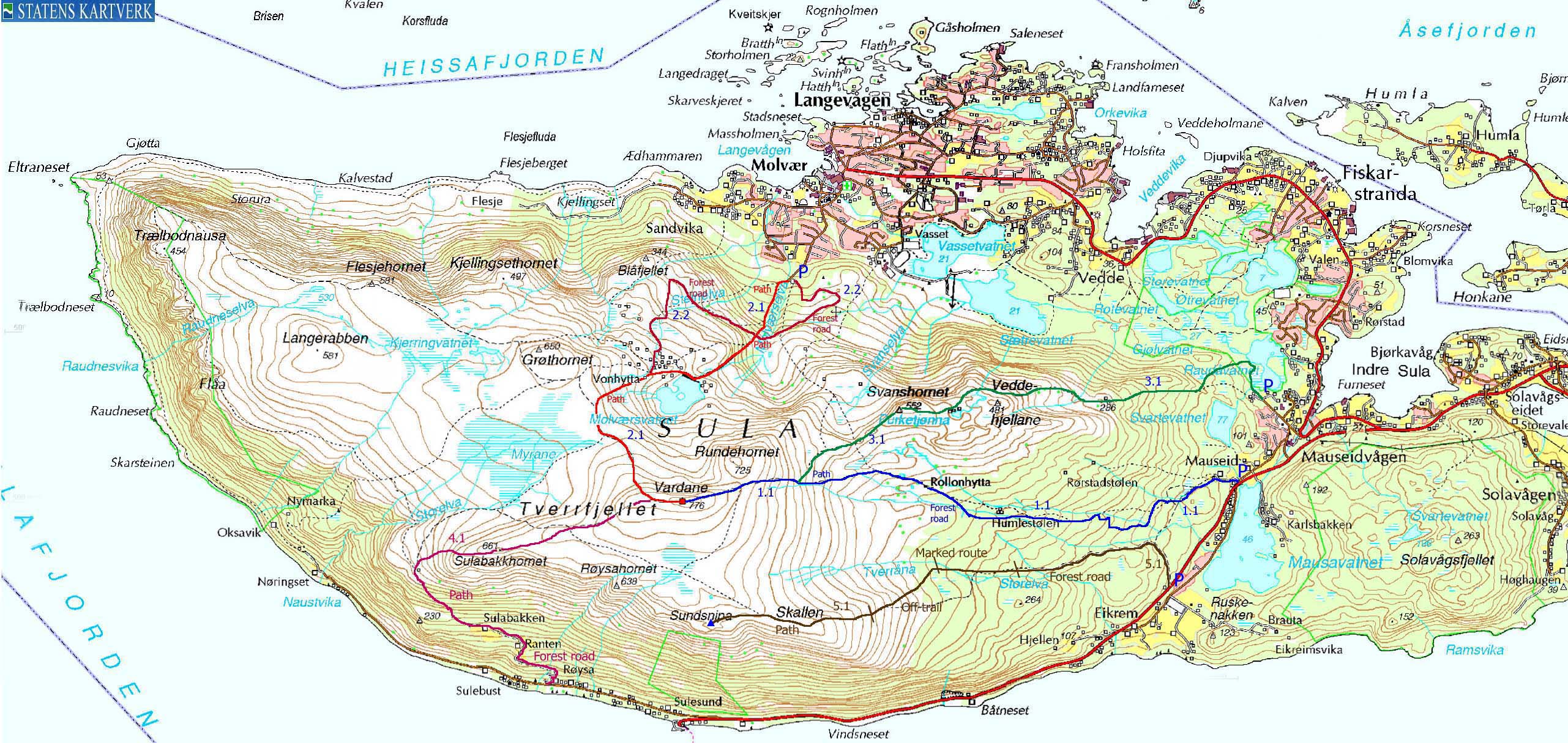
Map: I followed route 3.1 on this trip


No Javascript:
 westcoastpeaks.com
Other Møre & Romsdal mountains
Other Norwegian mountains
westcoastpeaks.com
Other Møre & Romsdal mountains
Other Norwegian mountains