
Back to the main Storhornet page for maps and route descriptions.
Erling
The day before, my old friend Erling Teig was on his way to Ålesund for the week-end and called me up from the car. We hadn't seen each other for some years, and the phone call was a pleasant surprise. I asked him if he had brought hiking boots, as it would be a pleasure to "show him the town".
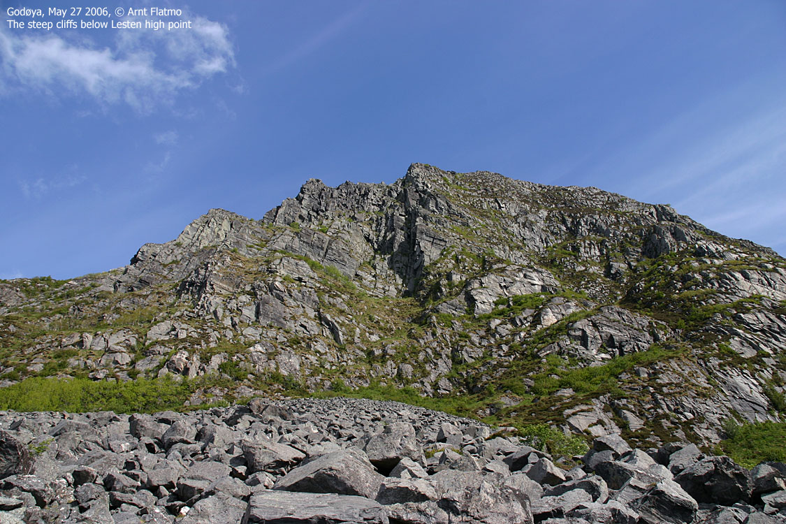
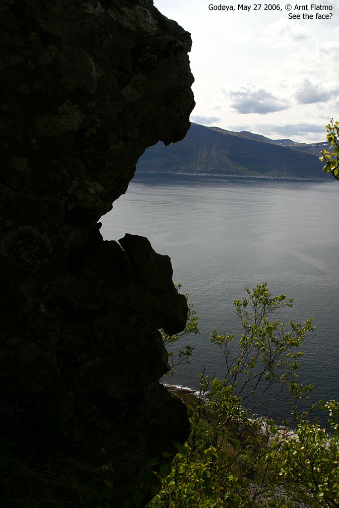
His shoes would do just fine, and I decided to bring him along on a scramble route up the west side of Godøya. Excellent city views from the top of Godøya. And it would save him the trouble to walk up and down the city streets, getting an impression of the city. Not that he didn't know the town already. His journeys along the western coastline are many.
To Moldagjølet
We drove to Gjuv and parked at the Storhornet trailhead 10:30AM. Then we followed the marked route westbound along the coast until we reached the very bottom of the Moldagjølet couloir. The weather was brilliant, and when you bring friends to Godøya on such a day, there is no reason to ask if they enjoy it. You can tell.
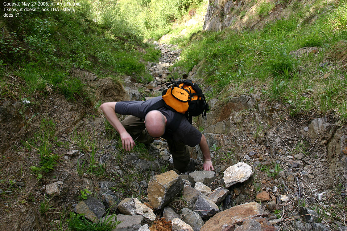
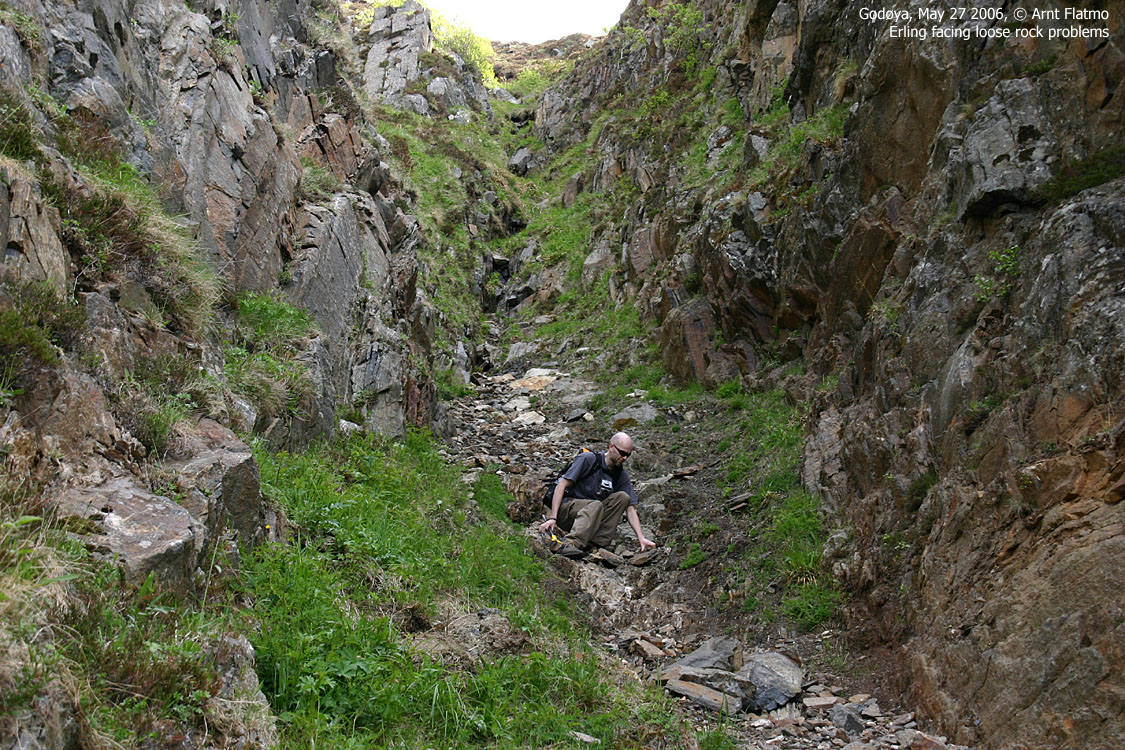
I had only downclimbed the couloir, and looked forward to explore it further. After balancing across a pothole, we found an "alley" that would save us from ascending the boulderfield leading up to the couloir. It turned out that this "alley" led us straight into the couloir without any form of bush war.
The couloir
|
We headed up to the point where I came down on my Apr 29 hike, and then continued a bit higher until
a sudden rise in the couloir made things more difficult. It was actually quite possible
to get out of the couloir up to our left, but I was hesitant to do this for three reasons;
a) the handholds were not firm (loose rock), b) I had no idea what was above and c)
it was the wrong direction. We were supposed to get onto the ridge up to our right.
It made sense to proceed straight forward, as I knew we then would top out high on the
ridge, but the couloir was already steep enough. The rising part came "straight in my face".
That said, it looked indeed doable, and it is something I can puzzle with later on.
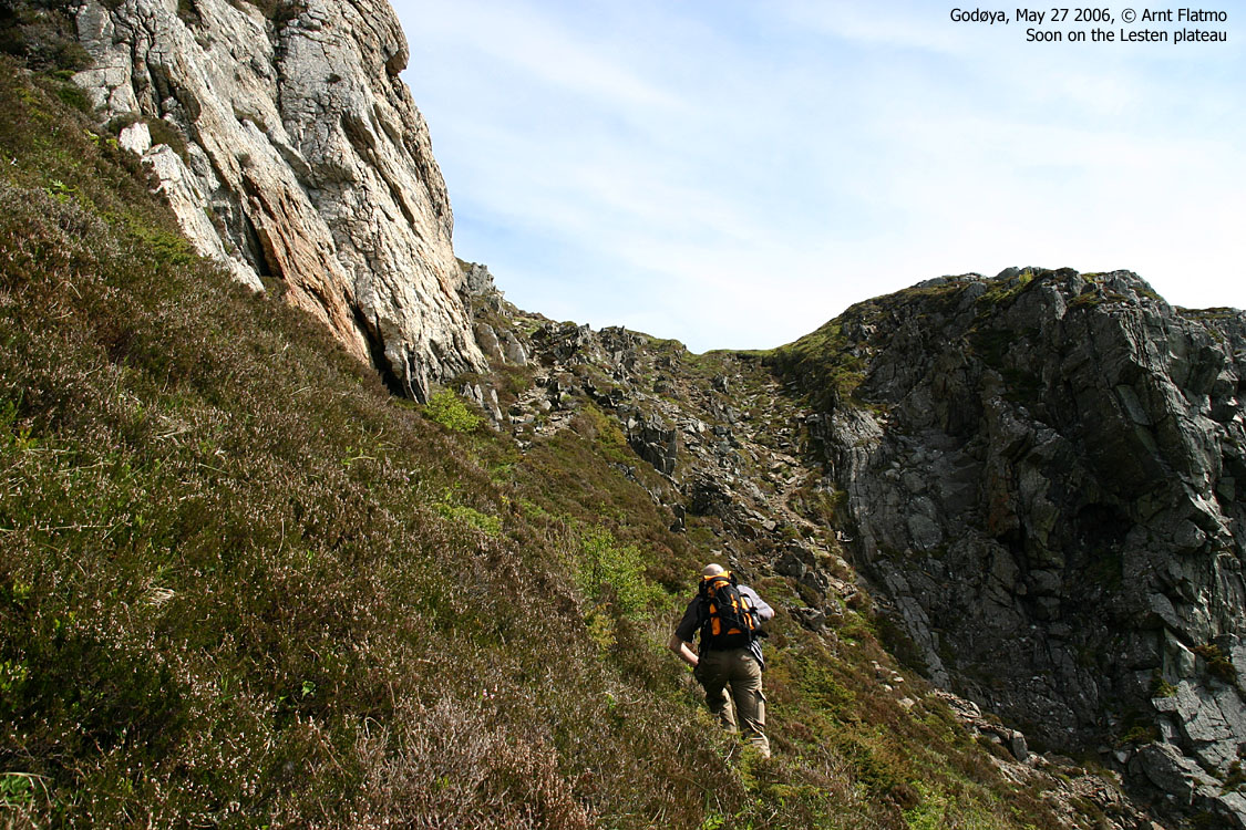
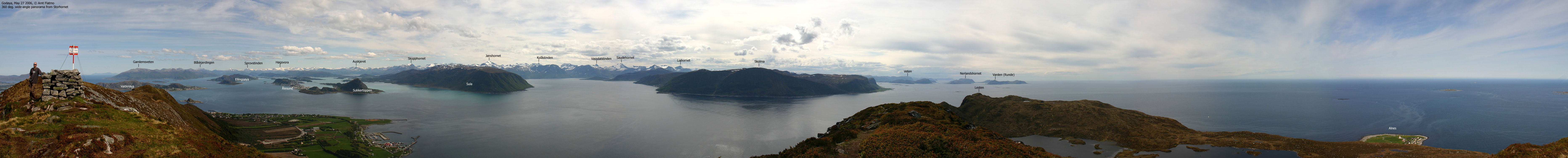
We left the couloir and headed up the steep forest ridge on our right-hand side. Gradually, we rose above birch and bush and topped out on the summit plateau. We reached Lesten's high point 12:50PM and had a break for lunch. Afterwards, we moved onto Storhornet (14:00PM), and I could finally show Erling "the city". My camera battery was flat, but Erling had a compatible camera and I could take (yet another) panorama picture from Storhornet. Hoggorm On the way down to Gjuv, I discovered "something" under my feet that wasn't a natural part of the trail. I jumped while shouting ORM (snake). Erling backed off. It was a "Hoggorm", a poisonous Norwegian snake. It must have dozing on the trail, because it looked grumpy. I grabbed for the camera, but there wasn't time to borrow Erling's battery again, because the snake was now heading for the safer forest. That was my second Hoggorm encounter. The first was on Mt. Ulriken in Bergen, and it was exactly the same situation, except that my dog was my hiking buddy back then. Erling told me later that he had wanted to ask me if we could face snakes as we stuck our hands in the bush, on the way up from Moldagjølet. "Not a chance", I would have responded. Had he asked... The hike was over 14:45PM. Erling seemed quite happy about the hike. He certainly had to work hard for a nice view of the city.
|
The pictures don't properly show the angle in the couloir, but this picture gives an indication. And it got steeper higher up. |
The route

To Moldagjølet


Moldagjølet


Onto the forest ridge


Lesten and Storhornet summit views


No Javascript:
1 2 3 4 5 6 7 8 9 10 11 12 13 14 15 16 17 18 19 20 21 22 23
 westcoastpeaks.com
Other Møre & Romsdal mountains
Other Norwegian mountains
westcoastpeaks.com
Other Møre & Romsdal mountains
Other Norwegian mountains
