
Norwegian Mountains, Møre og Romsdal
Storhornet from Mesætra, July 26 2009
To the main Storhornet page (maps, route descriptions, etc.)

Storhornet
(Click for larger image)
Svein and I have been on several trips together, Svein and Håvard knew each other briefly, and I had met Håvard once before. None of them had met Matt and Joe (on holiday) so there were new acquaintances all around. I had (a.o. trips) climbed Bladet with Matt and Joe in 2008.
We crossed the Moldskreddøla river on a bridge, then walked approx. 200m along the river bank before we followed the path up the forest. The path was overgrown, but for the most part easy to follow. Above 750m, the path faded and we continued into the fog, off-trail in the direction of Samfunnskaret - the pass between Leirvasshornet and Storhornet. The walk up the southwest ridge was a stroll, and we arrived on the summit 12:31pm, 1h:18m after heading out.

On top of Storhornet
(Click for larger image)
We stayed on top for quite a while, hoping that the fog would lift. We got a glimpse of blue sky, but that was it. There would be no views from Storhornet while we were on the mountain. Svein was up here the day before also (from Habostaddalen), but (obviously) didn't mind a second trip.
(For views of this region - see the trip report from Nordre Smørskredtinden, 6,5km southeast of Storhornet)

Me, taking my axe for a walk
(Click for larger image)
Upon descent, the fog began to lift from the valley, but not in a speed that could justify a longer wait on the mountain. Those of us who wants to see views from Storhornet will have to come back some other time. 2:53pm, we were back at the trailhead.
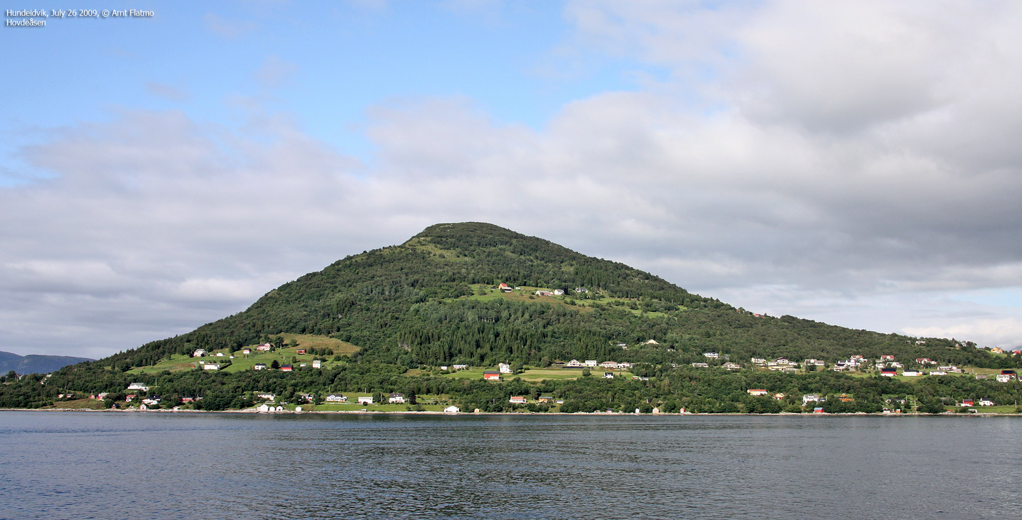
After the hike, I stopped by Hundeidvika, where Matt and Joe (and the family) were staying. Afterwards, I took the ferry to Festøya and drove home to Gurskøya via Ørsta. This ferry offers superb views towards some of the mighty Hjørundfjorden peaks.
")
Langenestinden (Standalhornet)
(Click for larger image)


")


