
Norwegian Mountains, Nordland
Nordre Snøfjellet from Borkamo, July 18 2009
To the main N. & S. Snøfjellet page (maps, route descriptions, other trip reports, etc.)

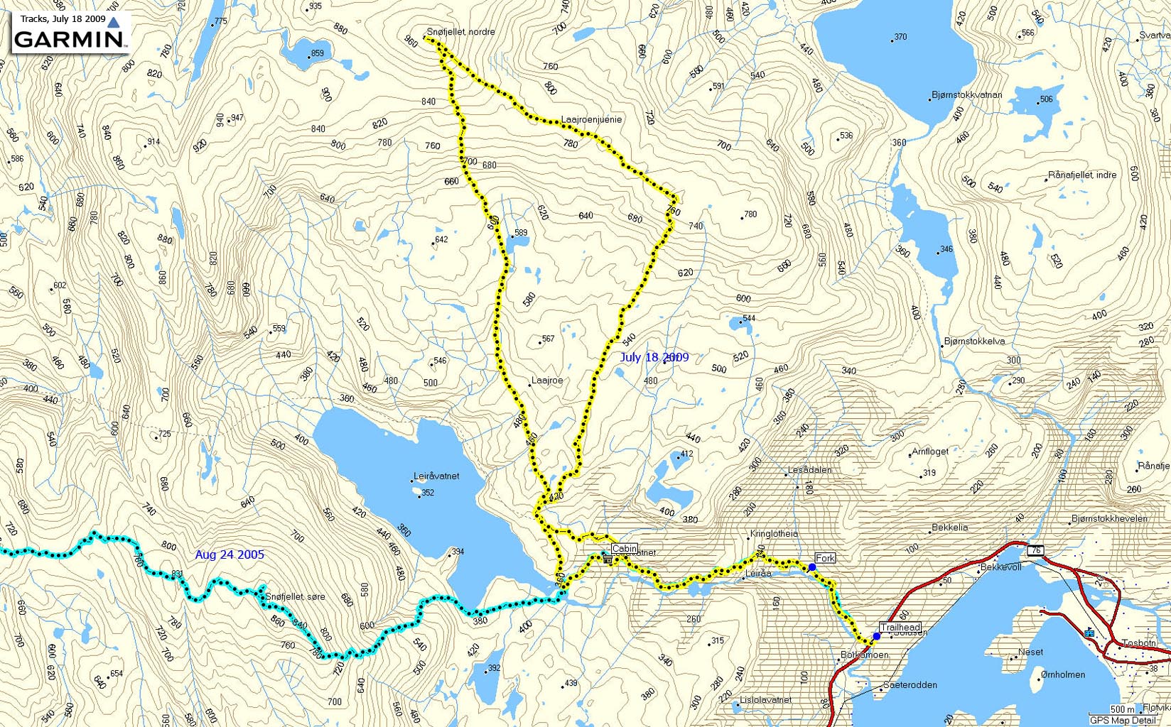
Routes to N & S Snøfjellet
(Click for larger image)
Day 15 of my 2009 summer vacation in northern Norway;
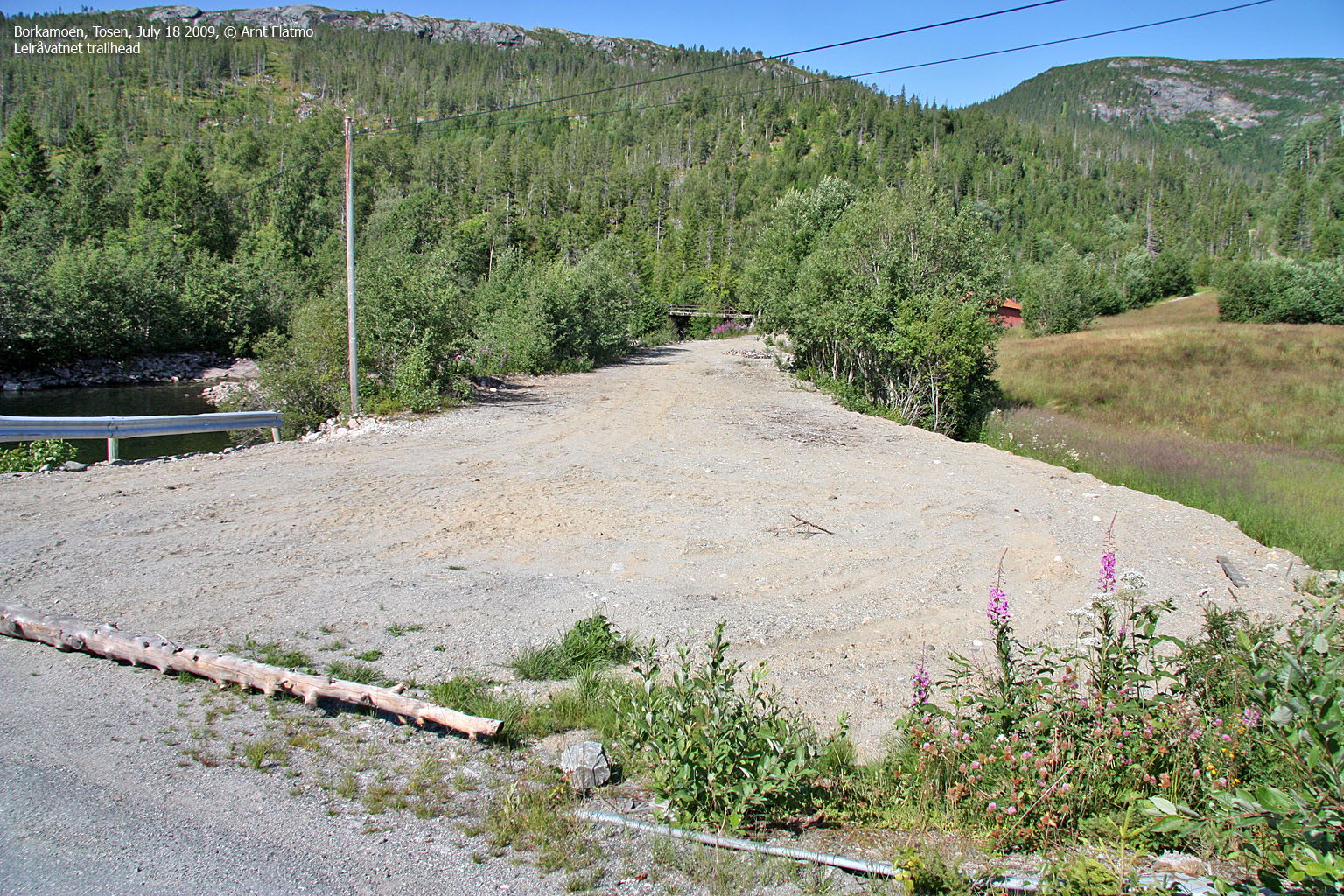
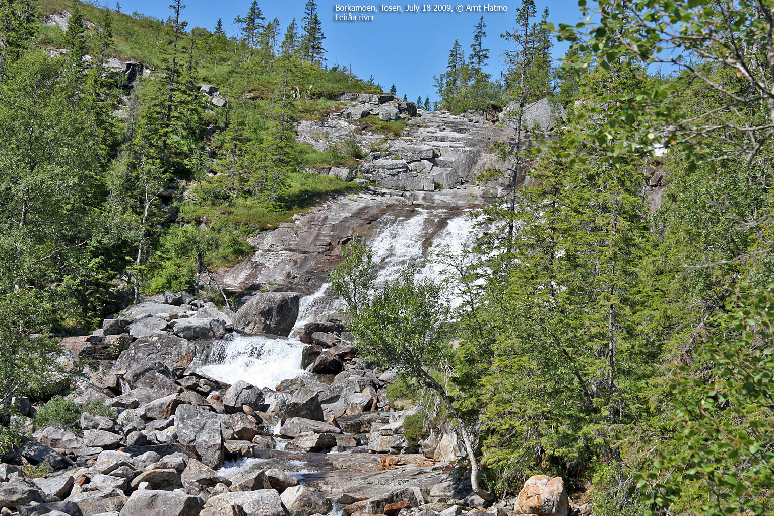
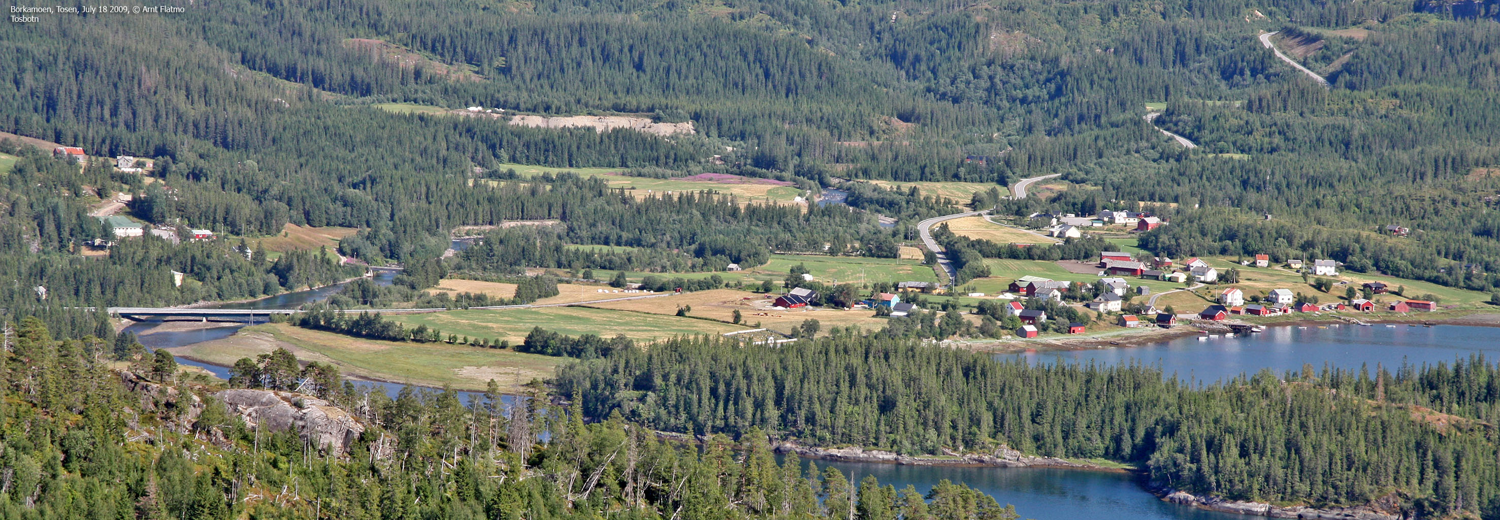
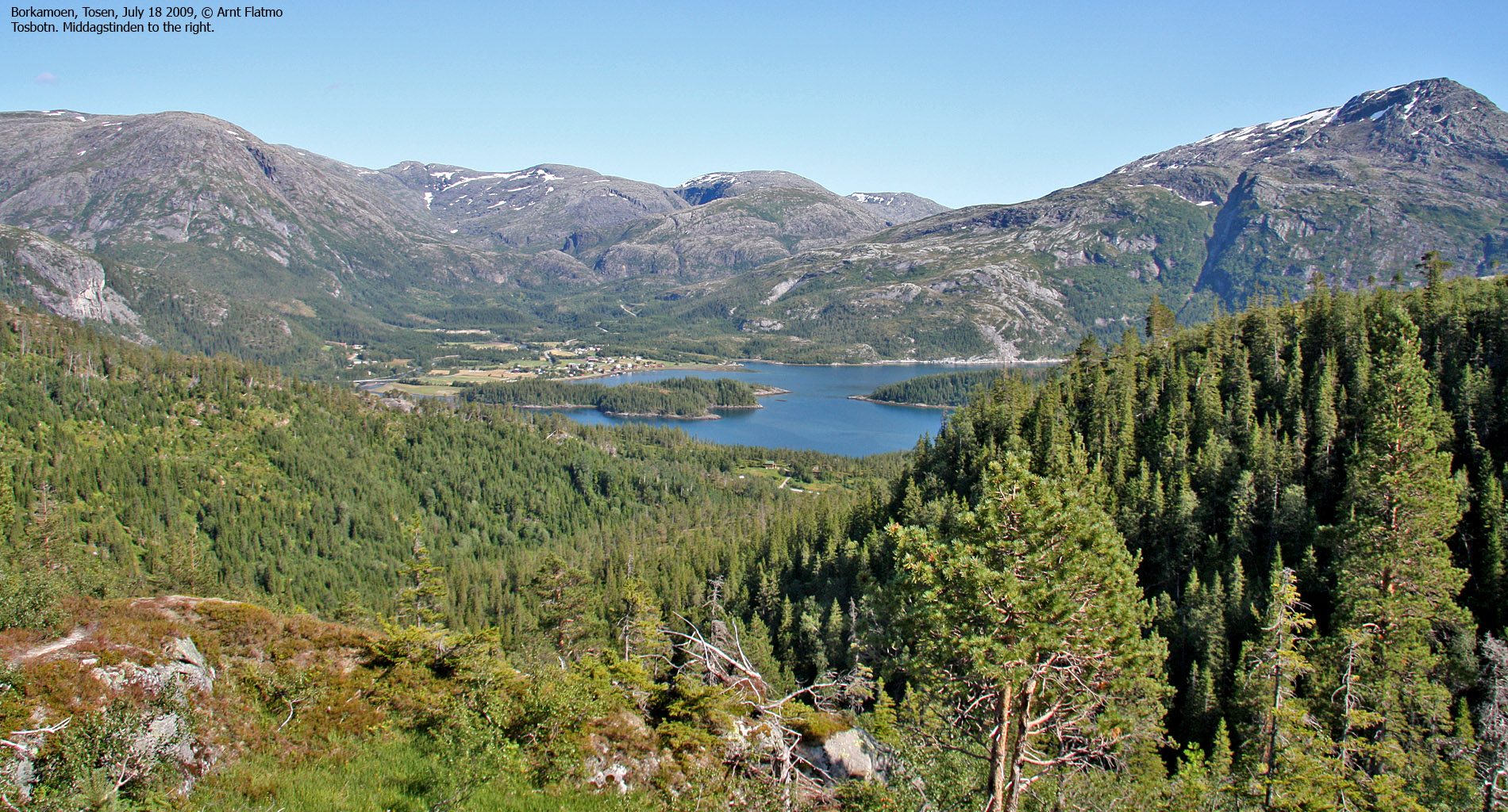
After a lazy day on Sømna the day before, the time had come to visit Nordre Snøfjellet. I had been to Søre Snøfjellet 4 years earlier, and knew the route from Borkamo to Leiråvatnet. The parking at the trailhead was closed, so I had to park along the main road. Besides this, things looked familiar and this summer day was just as nice as that August day in 2005. The time was 11:17am when I headed up along the Leiråa river.
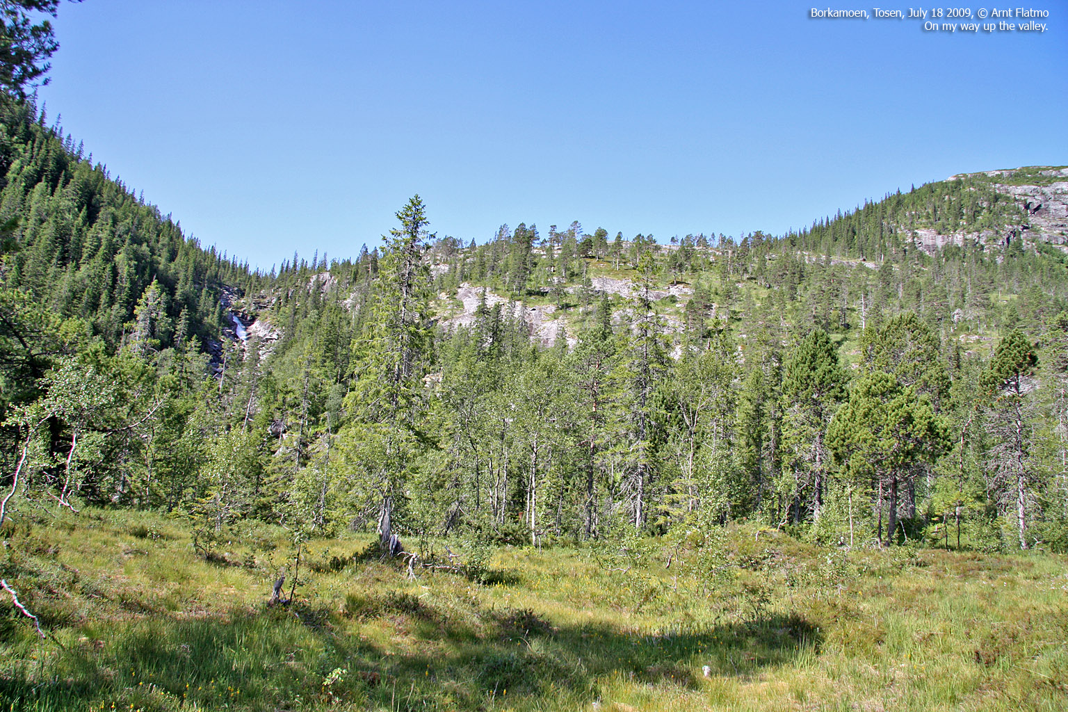
I followed the forest path and reached Leiråvatnet in less than an hour. The onward route to Nordre Snøfjellet seemed to be - straight ahead. This was open and easy terrain, and just before passing the tree line, I ran into (not literally) two moose. Only one of them had spotted me, and I wondered if this was a calf and its mother. Just in case, I decided to keep a very low profile. As the first moose started running, the other followed, but then stopped to see what the danger was all about. I was relieved. The last thing I wanted was a mad moose mom chasing me around on Snøfjellet - without a single tree to hide behind or climb up...

Moose
(Click for larger image)
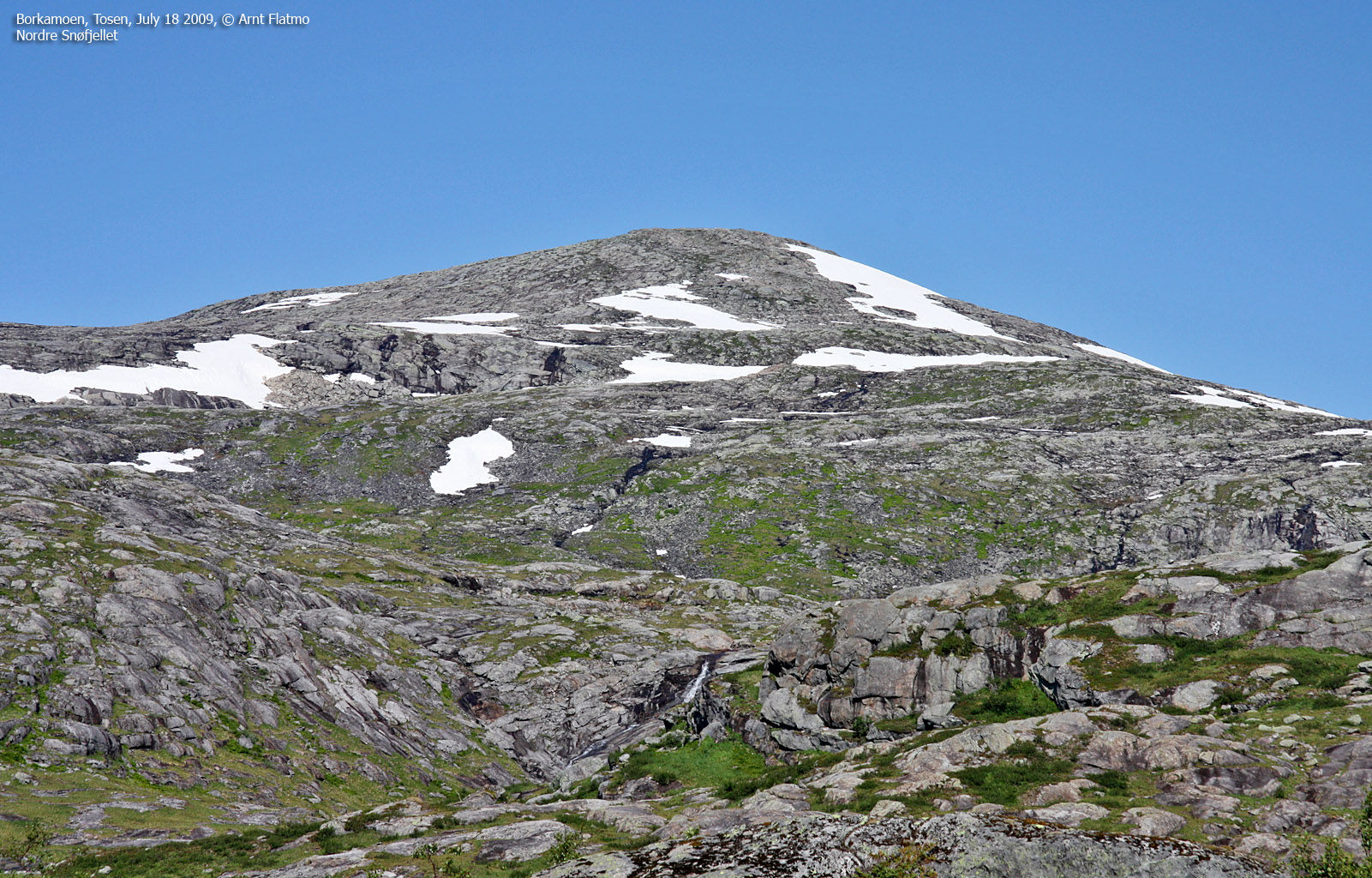
After the moose had vanished, I continued up the mountain. I entered a small valley and hiked along the creek from lake 589m. I reached the top of Nordre Snøfjellet 1:46pm - 2,5 hours after heading out. This region has mostly gentle and rounded mountains - very unlike Sunnmørsalpane back home, but I enjoy it just as much. These mountains have a touch of wilderness that the outer Sunnmøre region doesn't have. And I started looking forward to come back for a much longer walk that also includes camping.

Breivatnan
(Click for larger image)
Upon descent, I headed southeast across Laajroenjuenie, which may be the name of the ridge, or the Lapp name for Snøfjellet. I don't know. At the second 780m contour I turned south/southwest in the direction of Leiråvatnet. I took a short-cut down to the cabin east of the lake before joining my ascent route. I was back at Borkamo 4:02pm - 4h:45m after heading out.
Next report: Oksskolten


