
Norwegian Mountains, Møre og Romsdal
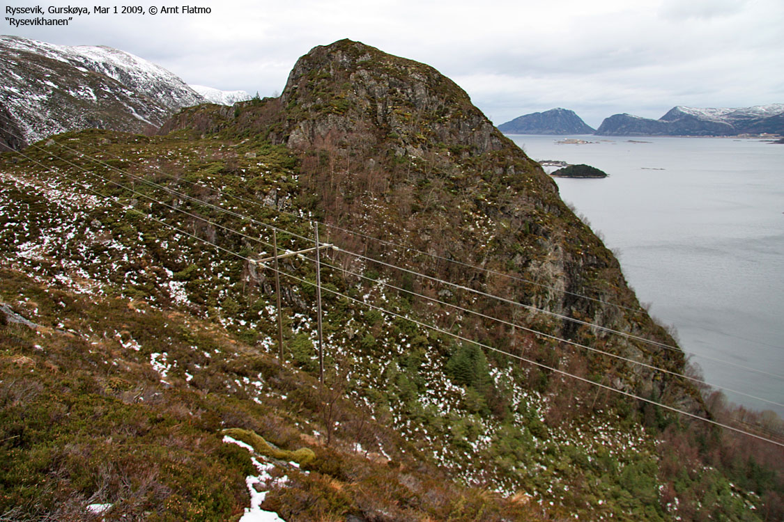
"Ryssevikhanen", Sandvikhornet, Øyrahornet, Skåla,
Mar 1 2009
To the main Sollia page (maps, route descriptions, other trip reports, etc.)

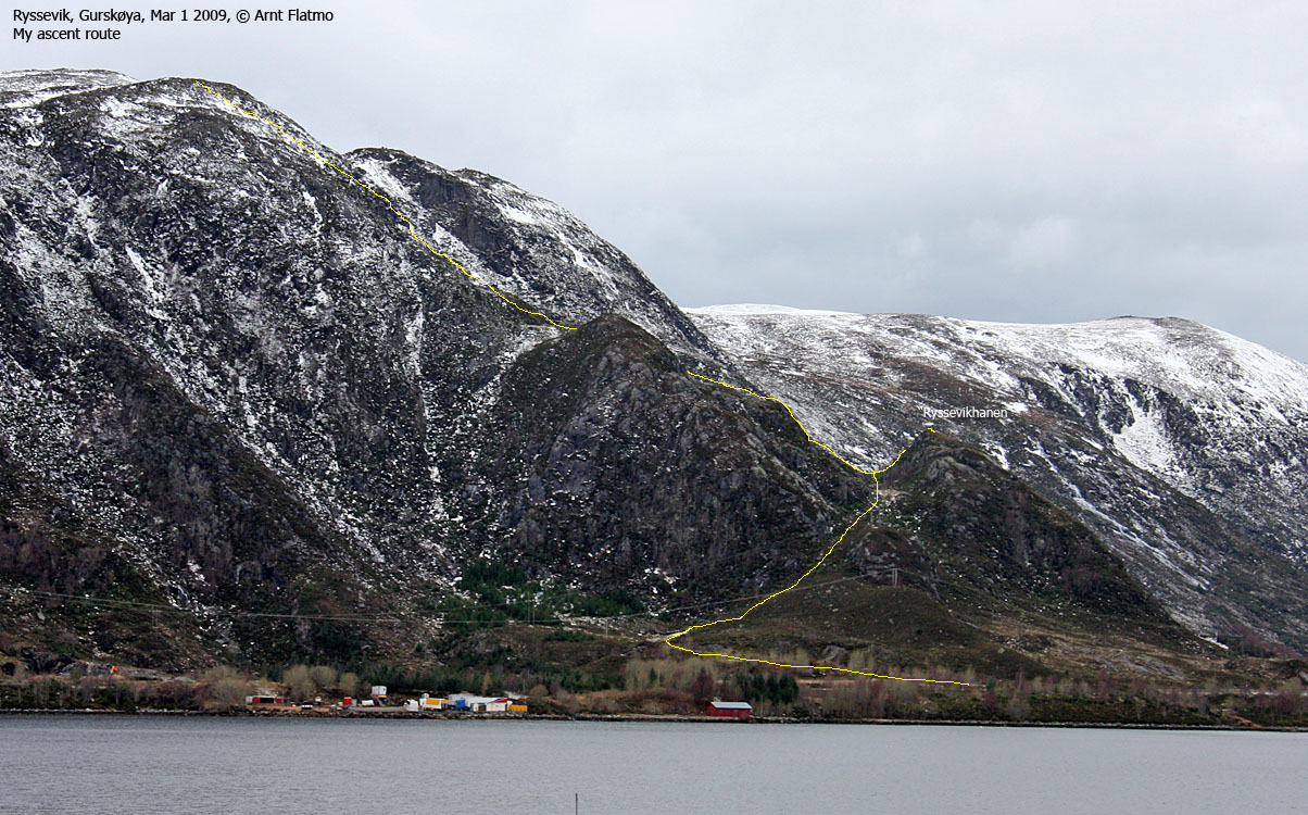
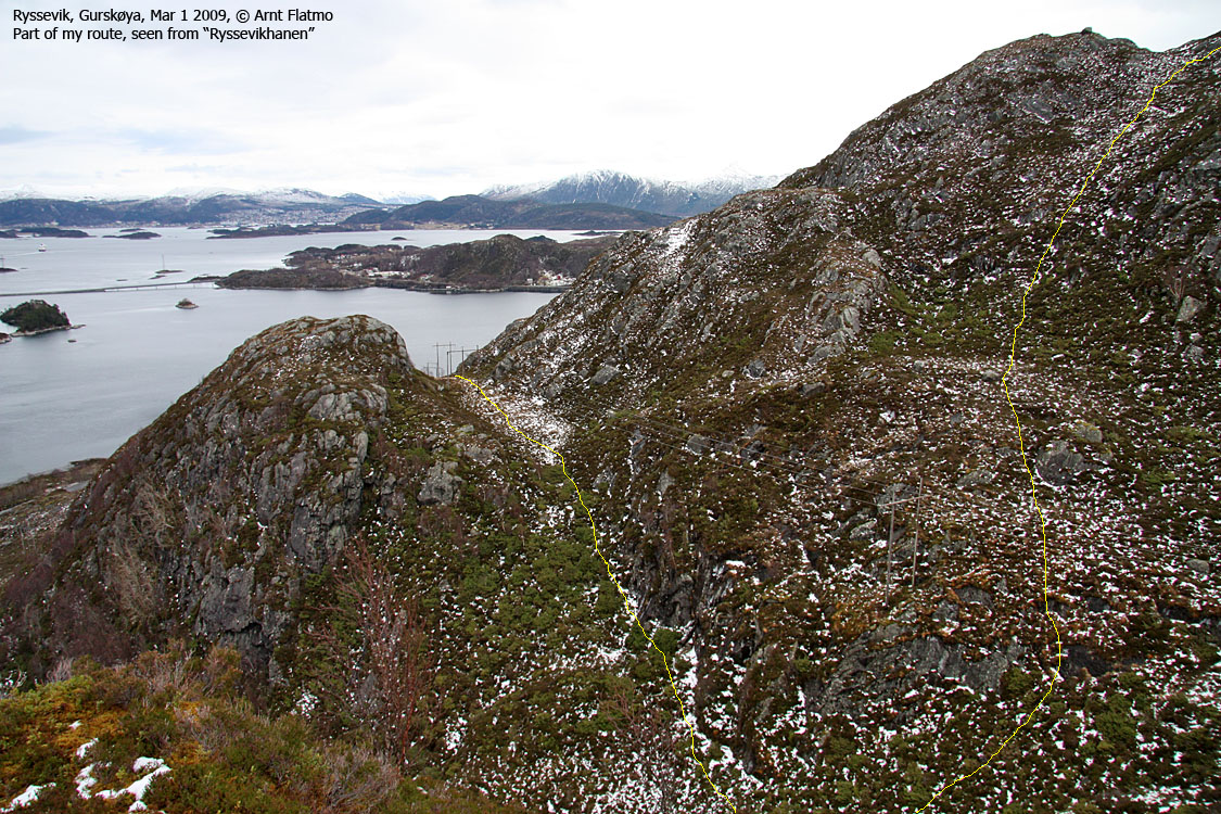
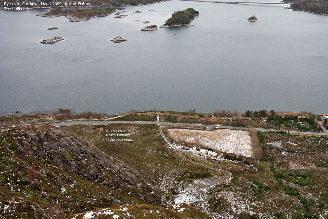
Part of the route
(Click for larger image)
All I really wanted on this Sunday was to visit Litlehanen (151m) - a small spur on the Sollia massif. I didn't bother to do the usual research, as I thought I knew where it was. It turned out that I didn't, and it became altogether a very different hike from what I had imagined.
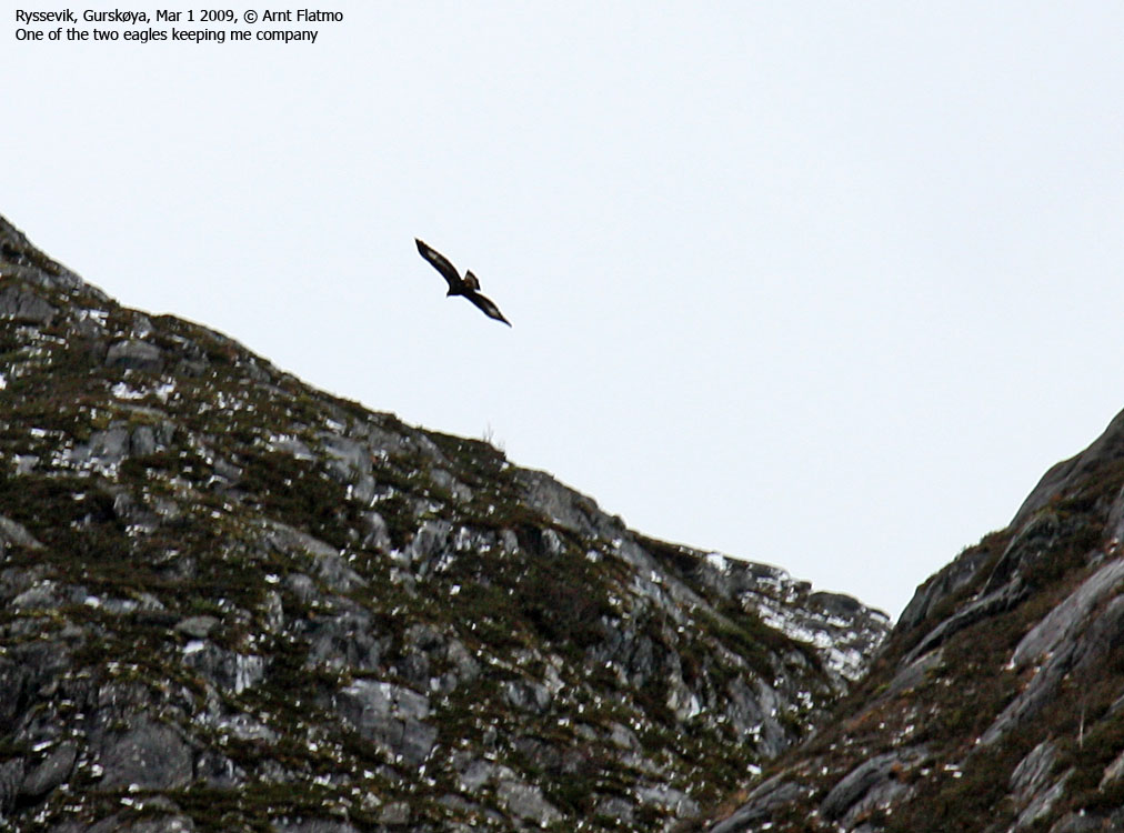
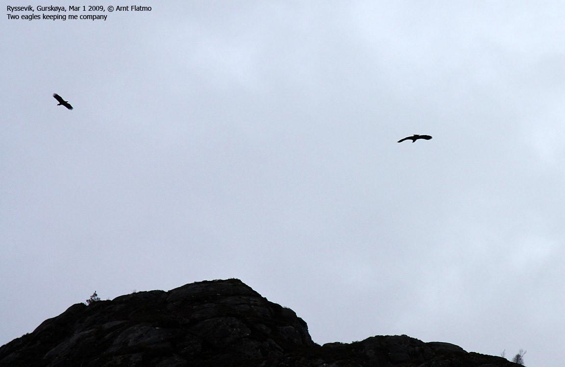
The spur I had my eyes on turned out be a nameless spur, but I didn't realize this until I was back home. But the terrain was overall steep, and thus - interesting. When I left my trailhead near Ryssevik, a couple of eagles were circling above me. I considered faking death in return for a marvellous picture, but I didn't find the necessary patience. They're not easily fooled.
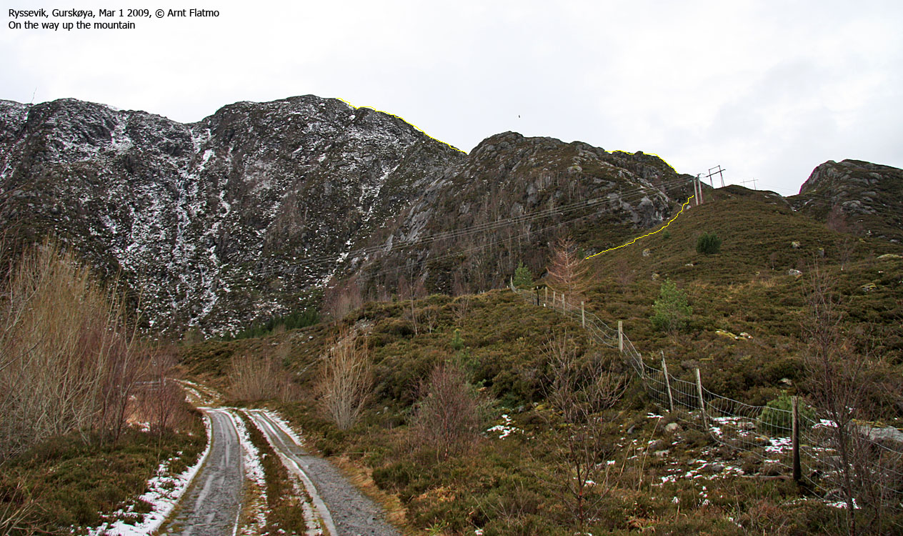
After a slighly tormenting (bush) hike up from the trailhead, I reached the spur that I believed to be Litlehanen, and looked up at the mountainside. Why not just continue up the mountain, descend across Sandvikhornet and walk the back along the main road? Brilliant idea. The only obstacle was that I didn't think I would be able to get up this mountainside. I saw a lot of naked rock and ice. In other words, it didn't look good at all, so I just had to try...

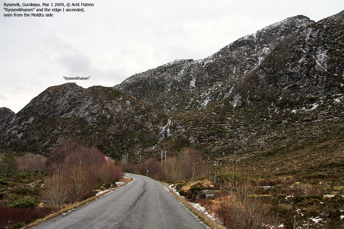
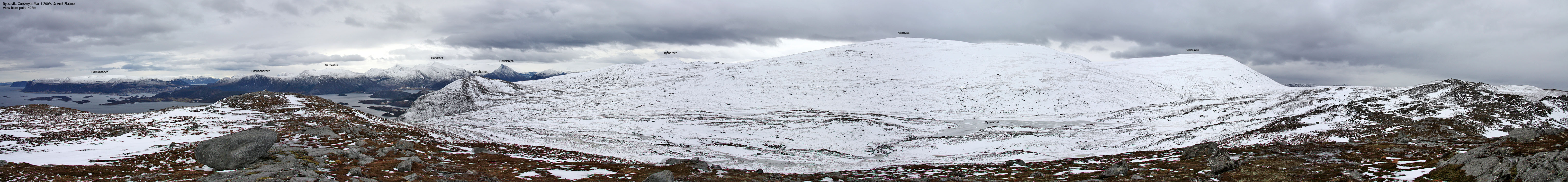
The route up the mountain
(Click for larger image)
But it turned out that my eyes had deceived me. The route up the mountain wasn't difficult at all. True, it felt OK to have the ice-axe in one or two spots, but soon I was on a safe route up the ridge. I headed towards point 425m, located roughly halfway between Storehanen and Sandvikhornet. I descended towards Sandvikhornet (352m) where I saw a man and his dog on top. It didn't take long before I caught up with them, and I looked forward to a brief chat. After all, I had never met anyone on this mountain. But when he spotted me, he and his dog ran away.
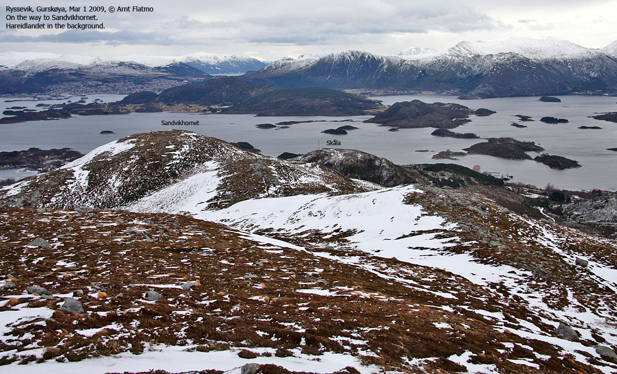
Content enough about the solitude, I changed my plan about returning to the trailhead and ascended Øyrahornet (417m) via its east ridge. On the summit I decided to descend northwest into Øyradalen, which was an off-trail route. I didn't take long to get back to the Sandvikhornet - Øyrahornet - Skåla junction, and I figured I might just as well visit Skåla (184m). While at it...

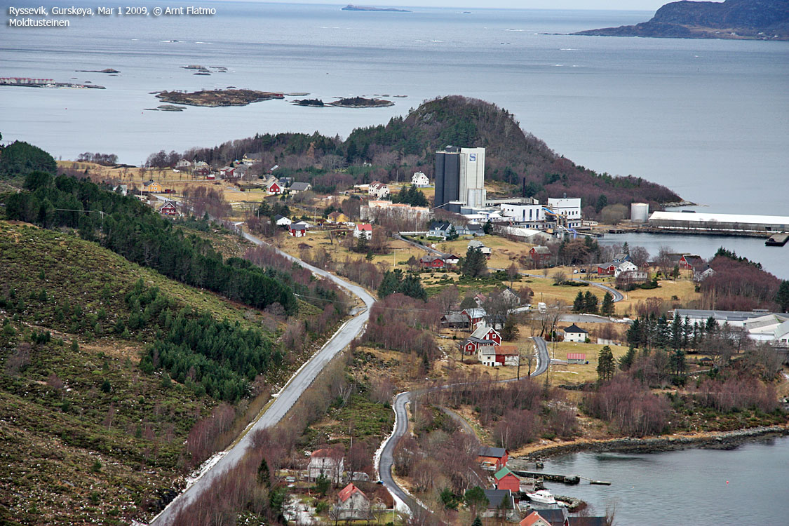
View from Skåla
(Click for larger image)
I returned to the trailhead 1:15pm, 3h:15m after leaving. The hiking distance was 10,5km and the total vertical gain was 850m. I was kind of disappointed when I got home and realized that I hadn't been on Litlehanen. I had missed it by 2km. So I decided to give the spur a name - Ryssevikhanen. The Ryssevik Rooster. A proper name, I concluded. And now I've lost interest in Litlehanen...
Btw: If anyone knows a name for the spur in question, please let me know.


