
Norwegian Mountains, Møre og RomsdalSkolefjellet, 102m (Hessa, Ålesund)
Skolefjellet on Hessa
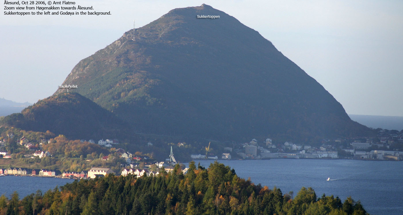
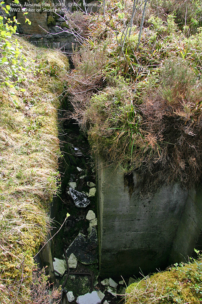
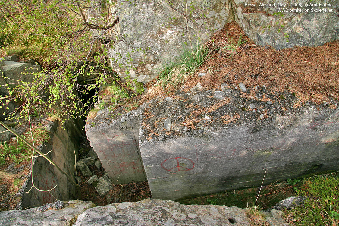
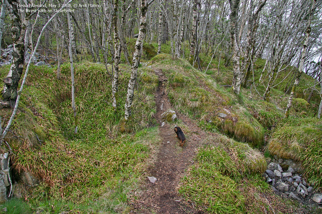
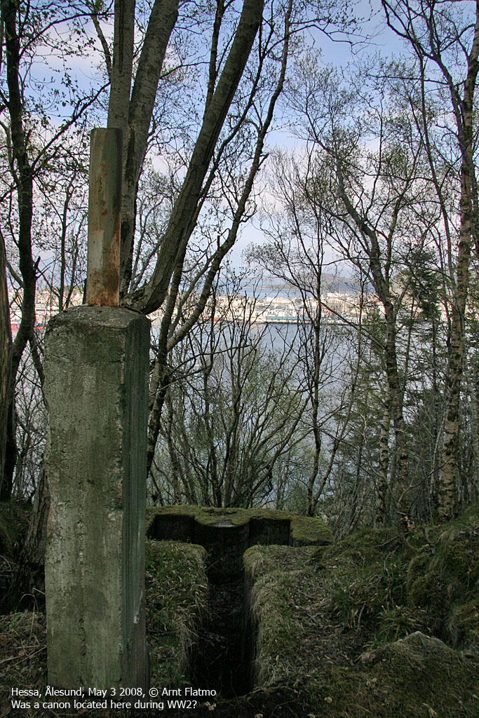
IntroductionSukkertoppen's lower neighbour to the east on Hessa island does not have a map name, but the locals refer to it as Skolefjellet (School mountain), after the school near the trail head. This hill was important to the Germans during World War II, and a number of bunkers were built here. The bunkers are, naturally, exciting places to visit for kids. But care should be taken. A fall can be quite fatal. Because of the forest, this hill can hardly claim any views. A visible path runs throughout the ridge, and this web page will describe access from Hessaskaret. Primary factor:Skolefjellet (Norge 1:50,000: 102m, Økonomisk Kartverk: 102,25m, UTM 32 V 352453 6928666) has a primary factor of 54m towards the higher parent mountain Sukkertoppen (314m). The defining saddle (approx. UTM 32 V 352172 6928696) is found in Hessaskaret, between the two mountains. Ref Økonomisk Kartverk (5m contours), the saddle is within the range 45-50m, interpolated to 48m.
Google map
Google's interactive map. You can zoom, pan and click on the markers.
Trail descriptions
Notes: Class ratings are in reference to YDS. Click here for more information.
The trails described below are not necessarily the *easiest* trails to this mountain.
Access (all distances are approx. distances) From Ålesund, follow the road westbound towards Hessa and the Aquarium (Akvariet). Cross the bridge between Aspøya and Hessa, pass the village of Skarbøvika and drive up a hill to a roundabout near Hessa Skole (school). Find parking by the school. The route 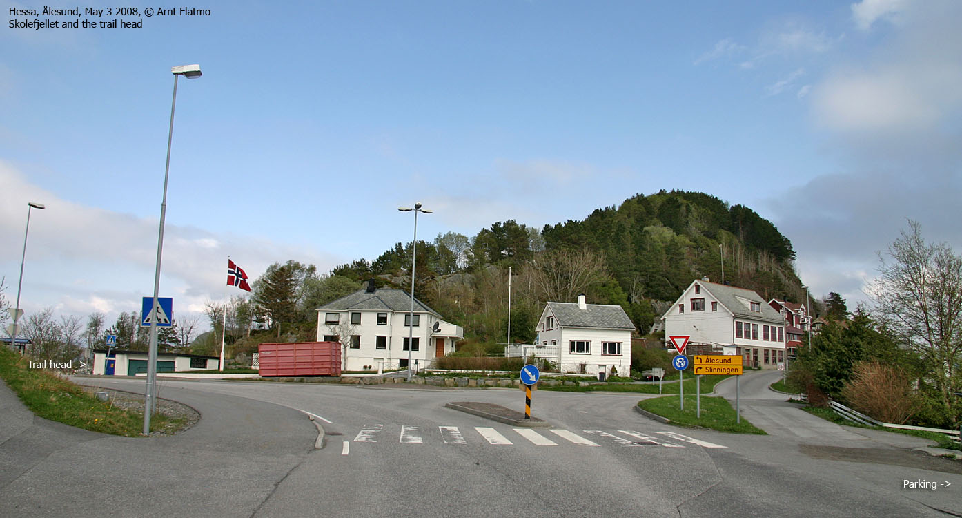
Skolefjellet trail head
From the parking, head towards the roundabout and aim for a garage near a bus stop. Follow the forest path from here. The first hilltop you reach seems to be the high point, but according to the Økonomisk Kartverk map, the highest point seem to be the easternmost hilltop, 100m to the east and just before a yellow old tank. Visit both to claim success. There are no cairns or any other form of markers. The hilltops themselves are quite obvious once you get there. You have the option to traverse the ridge and follow the road
from Slinningen back to Hessaskaret.
Pictures
No Javascript
|


