
|

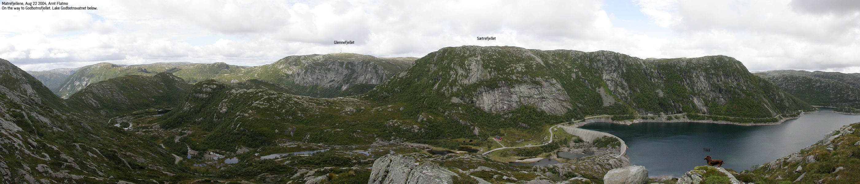
Sætrefjellet seen from Godbotnsfjellet(No Javascript) |
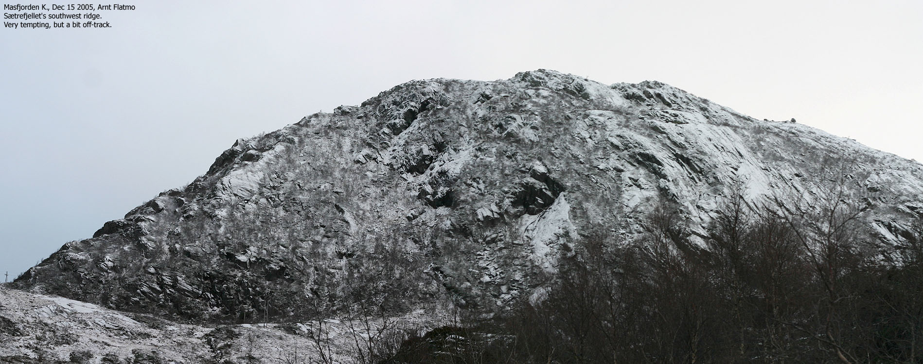
Sætrefjellet is a top on a mountain range that rises from Haugsdal by Masfjorden and merges into the Stølsheimen mountain region via Storevasseggi - one of the highest mountains in Masfjorden Kommune. The mountain is easily reached from Lake Godbotnsvatnet via Litlematrestølen cabins, thanks to the service road (not plowed in winter) to Lake Svartavatnet. Indeed, in summer, Sætrefjellet is one of the easiest tops in the 700-800m elevation range.
On this web-page, I am describing a roundtrip hike which involves off-trail ascent up a rough valley. You may choose to ascend the mountain via path to Litlematrestølen and then off-trail up to the summit. There may even be a summer path from Litlematrestølen.
Technical stuff. Stuff that matters
With a primary factor of 94m, this mountain was originally not on my list of independent Hordaland mountains, Økonomisk Kartverk (Ø.K.) stated that the summit elevation is 764m. This was my preferred information source, even if the 1216-IV map stated 766m. I interpolated the saddle to its parent mountain - Gleinefjellet - to 670m based on the 1216-IV map.
After visiting this mountain, I took a closer look at the incomplete contours on ØK. This map clearly show that the saddle is between 666m and 670m, interpolated to 668m. Being, at the summit, I averaged the elevation over 6 minutes, giving a result of 772m. I subtracted 2m for error correction and ended up on 770m. The GPS track log shows a consistent elevation of 770m over the same 6 minutes, and that is why I conclude that the mountain is most likely 6m higher than shown on Ø.K. And with a primary factor of 102m (770m - 668m), Sætrefjellet entered my list of independent Hordaland mountains.
Primary factor:
As discussed above;
Sætrefjellet (1216-IV: 766m, Ø.K.: 764m, GPS: 770m) has a
primary factor of 102m
towards the higher Gleinefjellet (792m). The saddle is found between lakes
Meinsemdevatnet and Kvernhusvatnet (approx. loc.: 32 V 317855 6752440).
Ref. ØK. (5m contours), you cross the 670m contours on the high route, but not the 665m. The saddle height
is interpolated to 668m.
With my GPS, I averaged the elevation to 772m on point 32 V 317864 6752070 over a six-minute period. I corrected for errors and chose 770m, which was what the track log reported in the same period.
Notes: Class ratings are in reference to YDS. Click here for more information.
The trails described below are not necessarily the *easiest* trails to this mountain.
|
Lake Godbotnsvatnet - Sætrefjellet (summer/autumn)
|
|
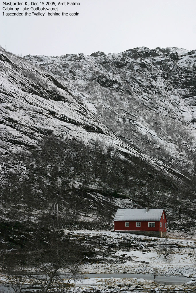
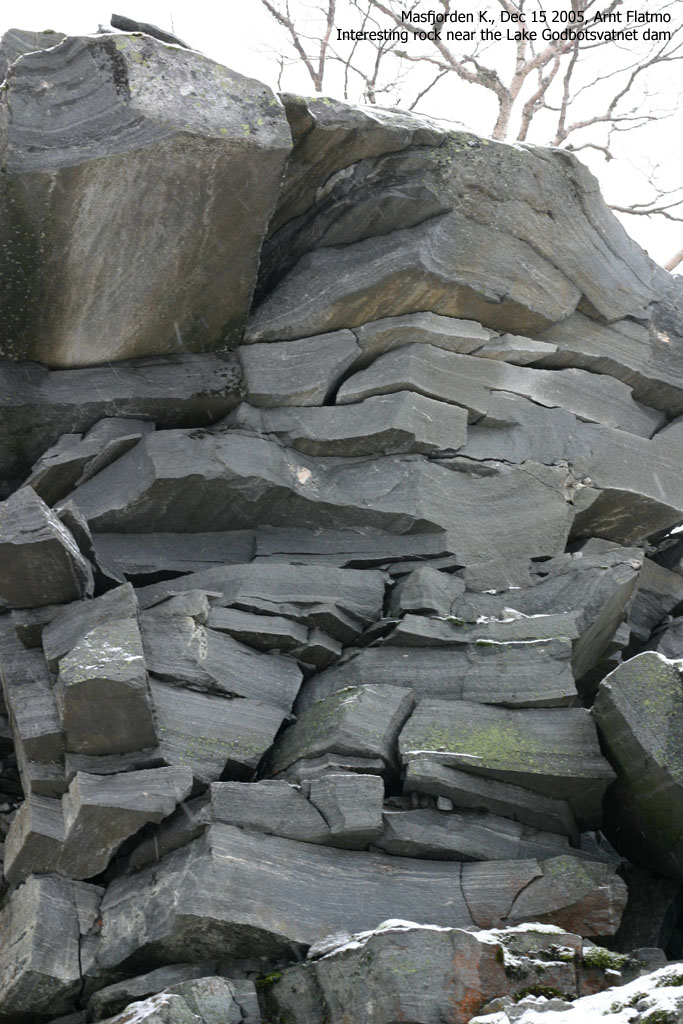
From Bergen, follow highway E39 towards Førde. Pass the toll station on Nordhordlandsbrua (fee for passenger car per Dec 2005 is NOK 45,-) and continue 51,3Km northbound. Then turn rigth towards "Haugsdal". Continue approx. 200m and turn right one more time. Continue another 200m and turn right for the third time. You're now on the service road to Lake Svartavatnet. Drive along lakes Storevatnet, Langevatnet and Gangløysa until you reach the dam at Lake Godbotnsvatnet. Find parking near a cabin just before you reach the dam.
Ascent
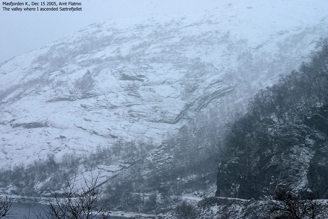
Head up a (steep) valley 100m NE of the dam on the SW side of Lake Godbotsvatnet. There is no path, and if you're not able to find the best route, you can easily get caught up in a bush and boulder jungle. Start off by staying left in the valley, near the slabs. Cross a small boulderfield and head towards a creek coming down this valley. Then find the best route up the valley.
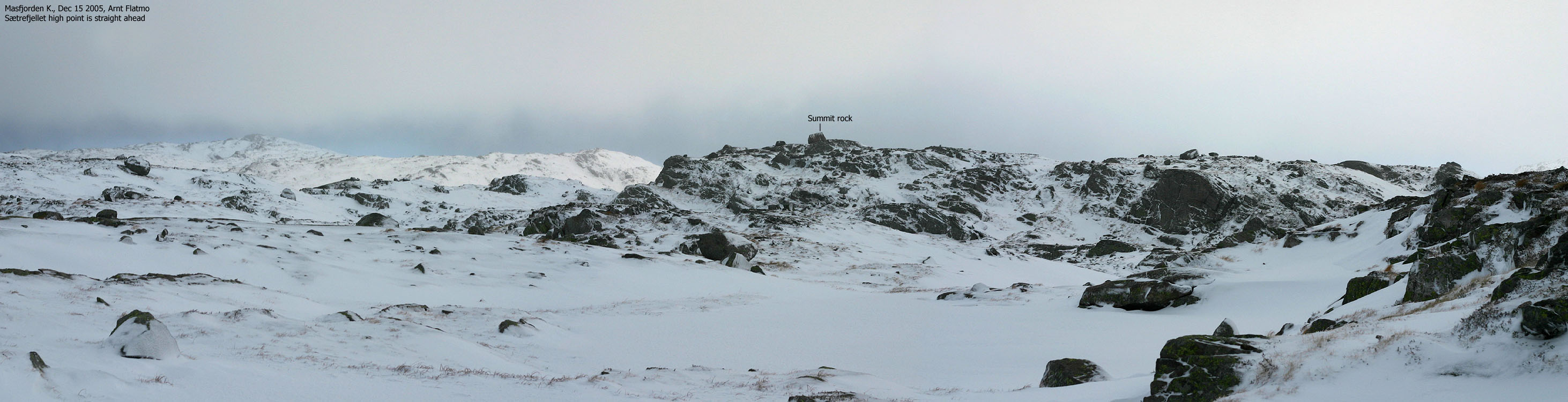
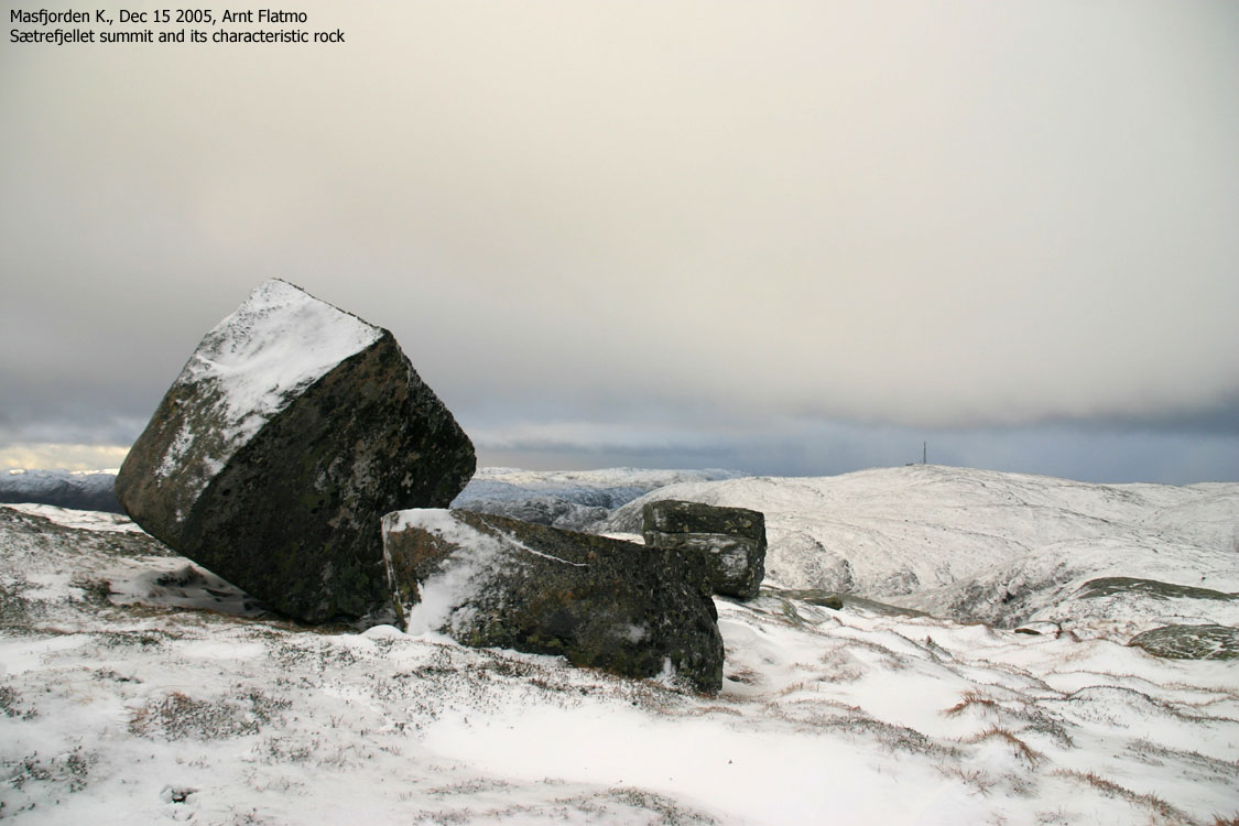
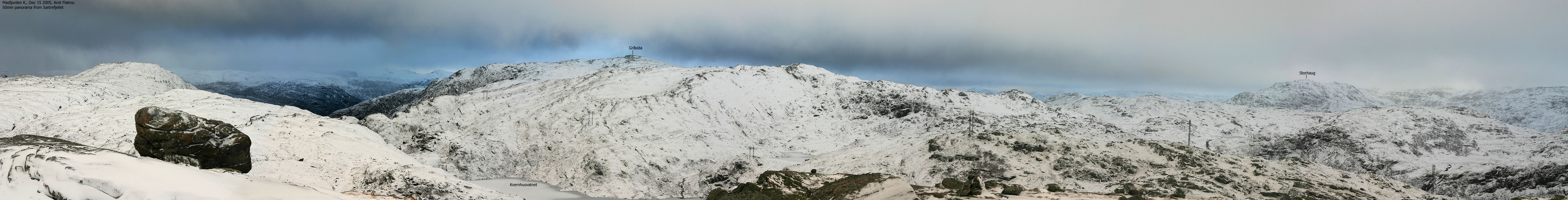
Once you are on the mountain, you will see the summit further NE. The summit is marked by a huge rock.
Descent
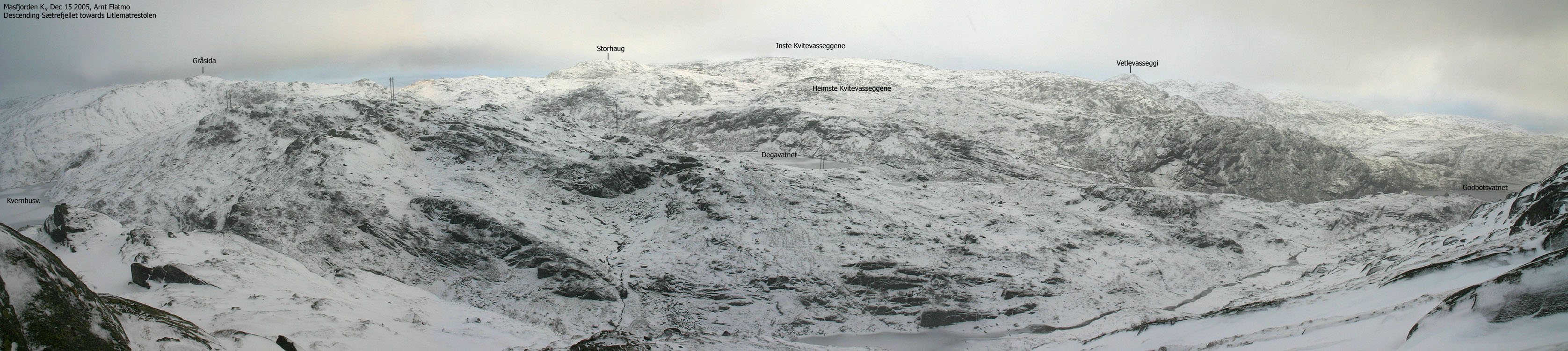
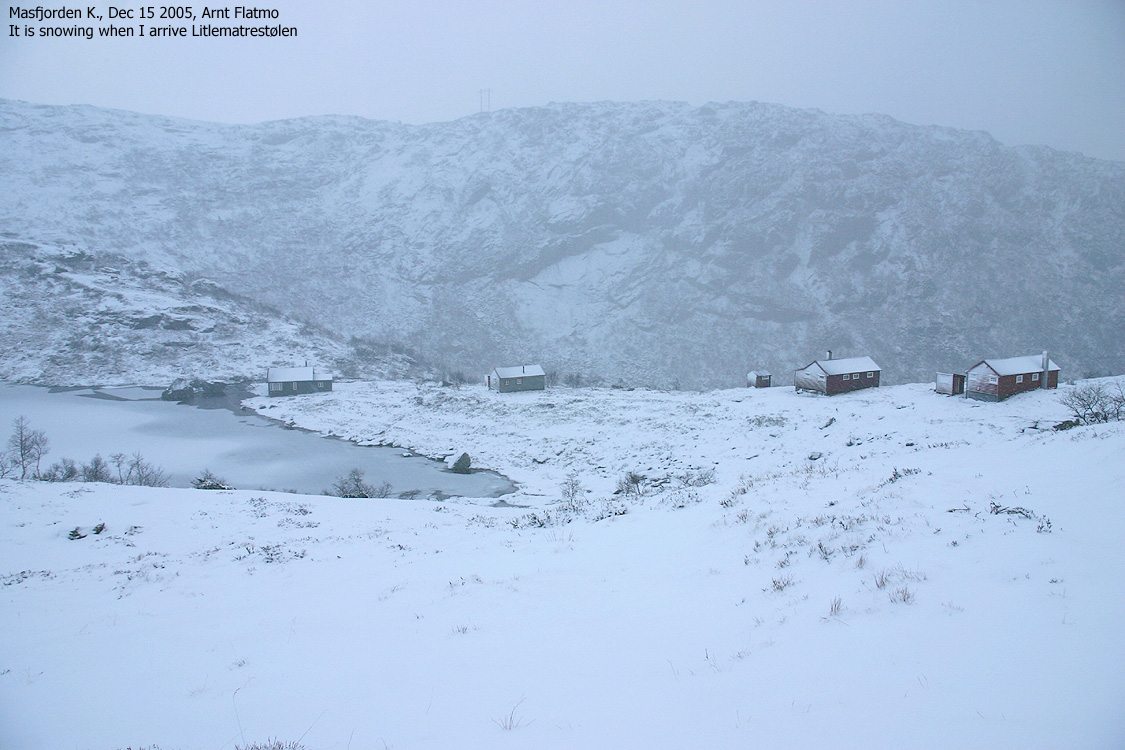
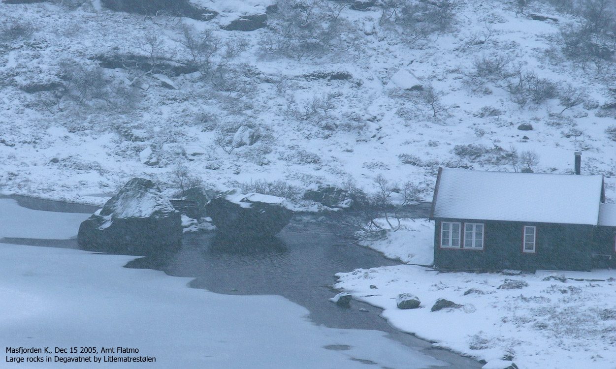
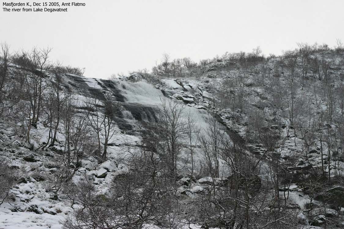
Head SE and descend to the valley below. Locate the path from Lake Kvernhusvatnet to Litlematrestølen. Find the path from Litlematrestølen near the drain from Lake Degavatnet and follow it down to the service road. Follow the service road back to the trailhead.

10 days ago, I visited Grønefjellet, which I thought was my last Masfjorden mountain. Sætrefjellet was "down there" on my "candidate list" (mountains with a primary factor in the 90-99m range), tormenting me. There is always the possibility that a few of these mountains can be upgraded to the "real" list of Hordaland mountains.
A few days before moving to Ålesund, I needed a break from washing down the house. I decided to visit Sætrefjellet, regardless of the weather. The weather forecast wasn't good - rainshowers and snow in the mountains. But this was an easy mountain, and I could easily do it in fog. The big question was how far I could drive on the service road to Lake Svartavatnet.
I felt I needed motivation for this project, and created a worst-case scenario;
With this in mind, I still found the project doable. And ANYTHING not matching the worst-case scenario would be a bonus.
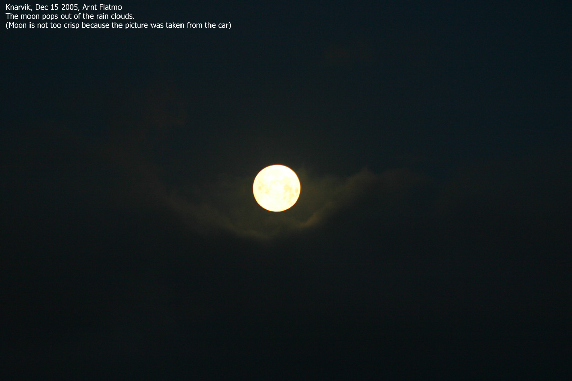
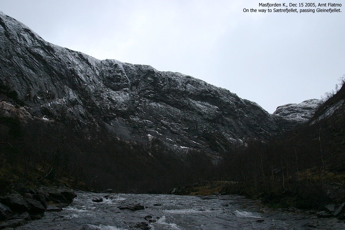
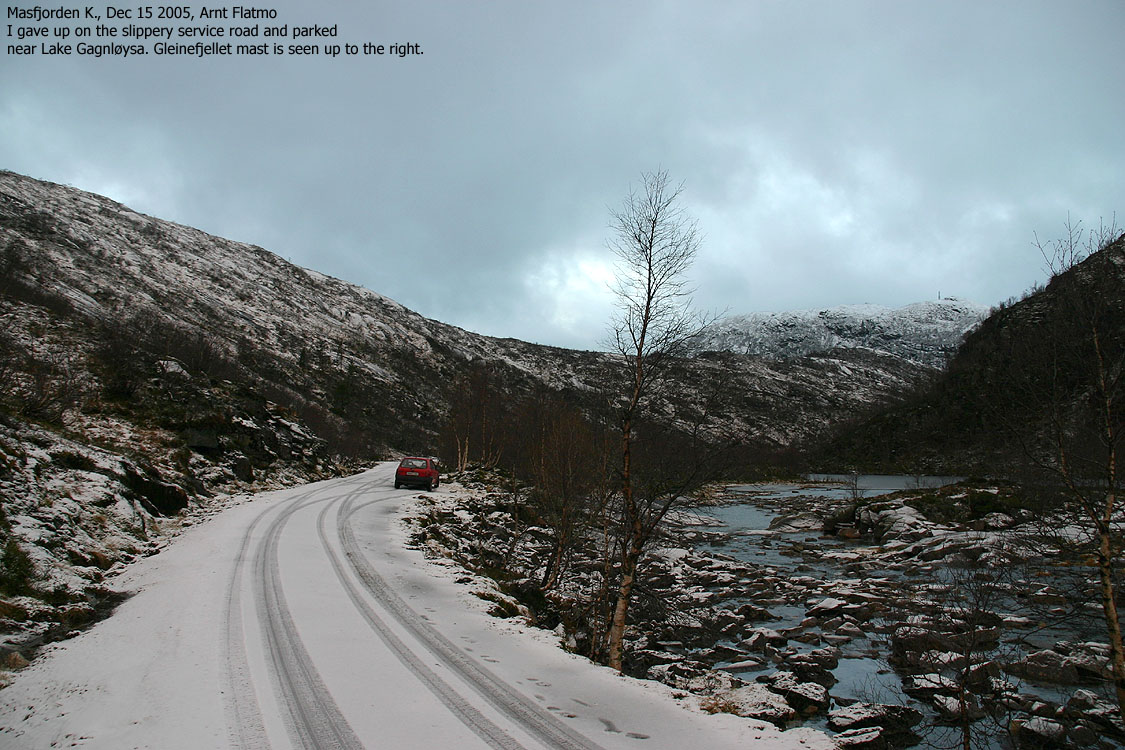
I left Bergen in darkness and rain, but spirit was lifted when I saw the red light on the Løvstakken (477m) mast. As day dawned, the weather wasn't bad at all. I enjoyed a full moon while driving northbound, and it stopped raining as soon as I was out of town. There was snow next to the road when I entered the lower part of Romarheimsdalen valley, but for some reason, the initial part of the service road (much higher) to Svartavatnet was free of snow. I didn't run into snow until I passed 400m elevation, but even if it was slippery, I was able to drive 5Km on this road, all the way to 470m elevation. It was fully possible to drive further, but I lost my nerve, as it had begun to snow. As I didn't know how much snow that would fall, I decided to park by Lake Gagnløysa.
The plan had been to hike up to Litlematrestølen, but I changed my mind and went for a roundtrip hike when I noticed that a valley above Lake Godbotsvatnet was doable. I had left the car 10:05AM, carrying my dog "Troll" in the backpack. I didn't run into any problems up this - messy - valley and was sort of surprised when I realised it only took me 55 minutes to the top.
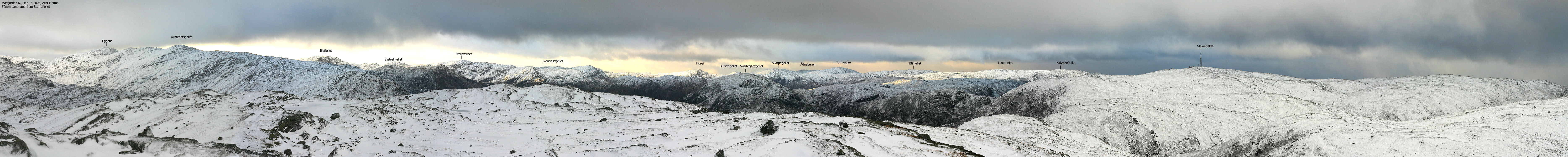
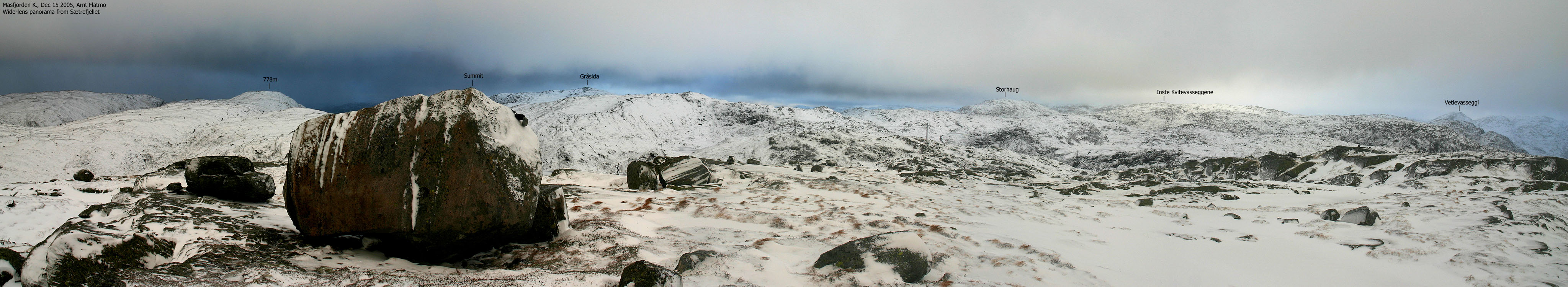
Even if it was snowing, I still had a good view all around. The summit was defined by a huge rock which was absolutely impossible to climb, with ice all over. I stretched as far as I could and placed my GPS approx. 50cm below the top of the rock. I let it take in the signals for six minutes and was "overjoyed" when it reported 772m as the average sample. I could even subtract 4 meters, and Sætrefjellet would still make it to my list of independent mountains.
The wind was strong, perhaps gale in the gusts, and Troll gave no signals about wanting to get out of the backpack. I took a few pictures and headed towards Litlematrestølen. I ran into steep terrain and had to traverse the east side in DEEP snow (once more I had forgotten my gaiters) until I found a steep, but doable route to the lower valley. I reached Litlematrestølen 11:30AM and was down on the service road 10 minutes later.
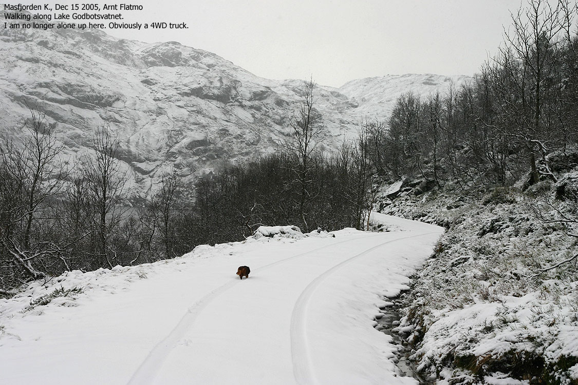
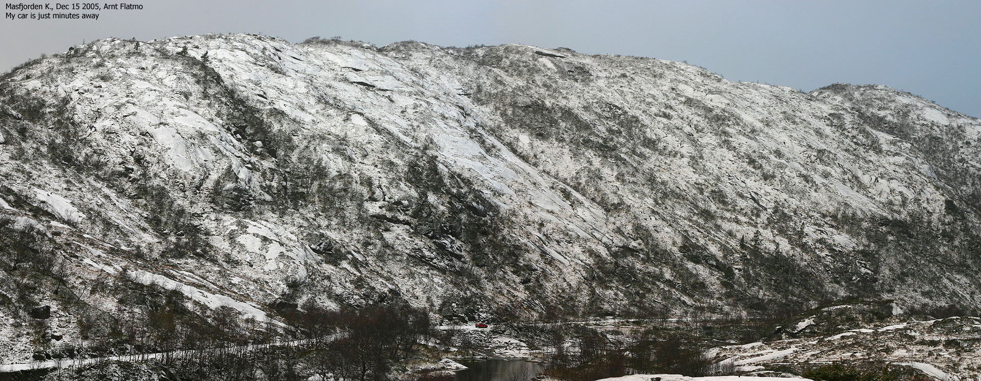
I let Troll out of the backpack and he walked the remaining 3Km back to the car. Troll followed the tracks of a car that had driven up the road while we were on the mountain, and by 12:10PM, the hike was over. This was my 19th trip to Masfjorden in 2005, and the 26th (of 44) Masfjorden mountains also in 2005. My list is as good as it gets, and I know a whole lot more about the Masfjorden mountains now than I knew when I moved to Bergen in late 1998.
Move cursor to read notes, and click on the images to see full version.
Some of the thumbnails may have been cropped to fit the format.
These pictures were taken with a Canon EOS 300D with Sigma 18-200mm and Canon 50mm objectives. Picture 31 was taken with a Canon 75-300m objective.
Ascent


Summit views, 50mm lens


Summit views, wide lens


Descent


Post-hike


No Javascript:
1 2 3 4 5 6 7 8 9 10 11 12 13 14 15 16 17 18 19 20 21 22 23 24 25 26 27 28 29 30 31 32
Other hordaland mountains
 Other Masfjorden K. mountains
westcoastpeaks.com
Other Masfjorden K. mountains
westcoastpeaks.com

