
Mission Peak, 767m (2517 ft)
|
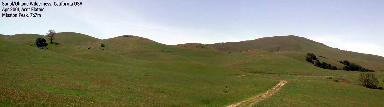
 Mission Peak seen from
|
Access:
Take US680 north from Milpitas/San Jose and exit on Calaveras Road as you are entering
Sunol. Follow Calaveras Road until you reach a sign to the Sunol/Ohlone State Park. Exit
left on this road and drive until you reach the park center. Park nearby the buildings.
The trail:
Walk 2 minutes until you see a horse farm. Next to this farm is a gate. Go through
the gate and follow the road. After 15-20 minutes, you cross Calaveras Road through two
gates. Then the trail goes through the forest until you reach open space. You will then
reach another gate (with a sign-in panel). There could be plenty with cows up here.
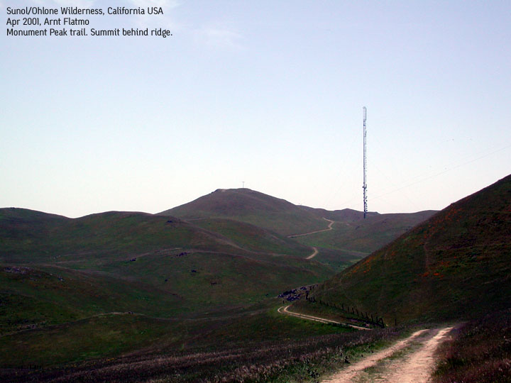
From this gate, you clearly see the Mission Peak summit. At the foothills of the summit, take left
on the trail and save this summit for the return. The trail takes you to the foothills of
Mt. Allison which has a paved road up to the transmission center. This area is restricted,
so it is up to you if you want to do the 10-15 min. walk up to the buildings.
Next, continue the trail you were on, and you will soon pass a bunker with more transmission equipment. The Monument Peak summit is just up the road. On your way back, at the Mt. Allison trail junction, take the Mission Peak trail. From Mission Peak, continue down the other side, and you will rendevouz with the trail you were on, at the foothills of the mountain.
Notes:
A parking fee (currently $4) is required. In addition, you must pay a $2 fee for a
license to walk in the open space. This permit is valid for a year, and is obtained at the
park center. I don't know the opening hours, so it could be a wise thing to apply for the
permit in advance. The round-trip took me 5 hours. A little strenuous to my alredy sore feet,
but it's pure walking.
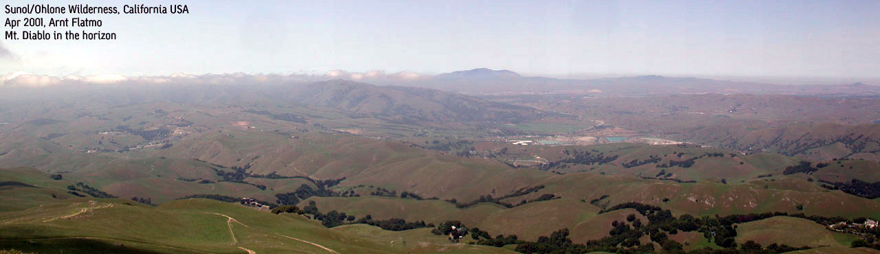
Nice view towards Mt. Diablo, the highest mountain in the area.
Pictures: (move cursor to read notes, and click on the images to see full version)


Other trail descriptions for this region: