
Click here for the main Liatårnet page.
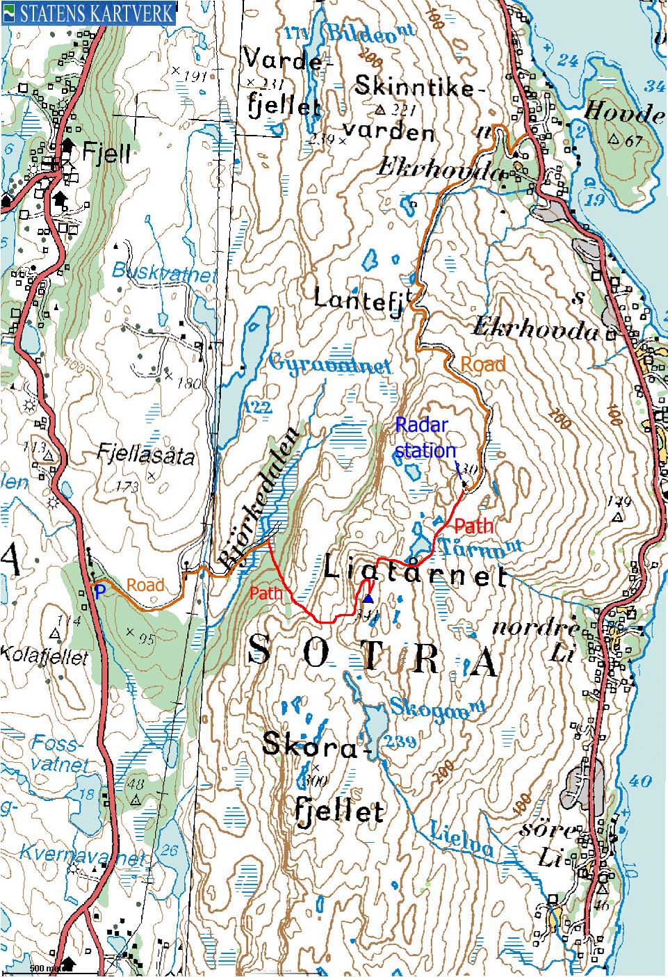
Map:

(No Javascript) |

(No Javascript) |
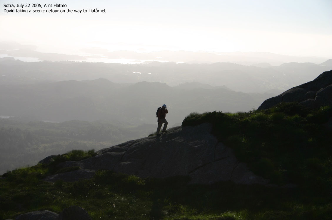
I got the urge to visit Liatårnet this beautiful Friday afternoon. On the way I called my friend David, who wanted to come along for the hike. I had only planned to walk up the road from Ekrhovda - the only route I knew. But David felt we should hike from the other side, which of course I agreed to. We followed the road to Klokkarvik until we saw a "Liatårnet" trailsign and parked the car. My dachshund "Troll" kept us company. It was perhaps a little too warm for him this afternoon, but with David around, it was obvious that he would walk to the top, providing there was a trail.
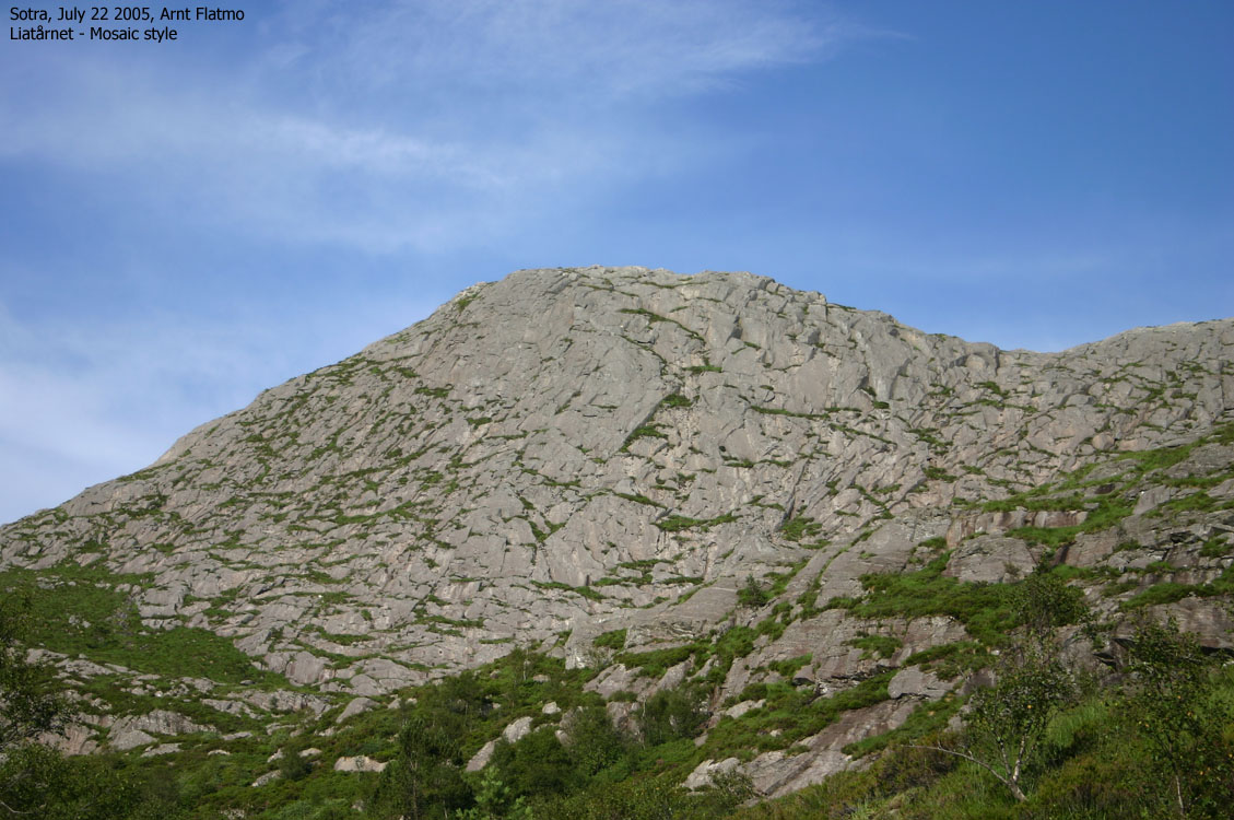
We had to follow a paved road (closed by a gate down by the main road) for a while, and then followed the "Nordsjøløypa" trail when we saw the trailsign. I enjoyed the trail and the scenery. Liatårnet looked like a big piece of mosaic from our position. It struck me that the west face of Lyderhorn and Liatårnet seemed quite similar.
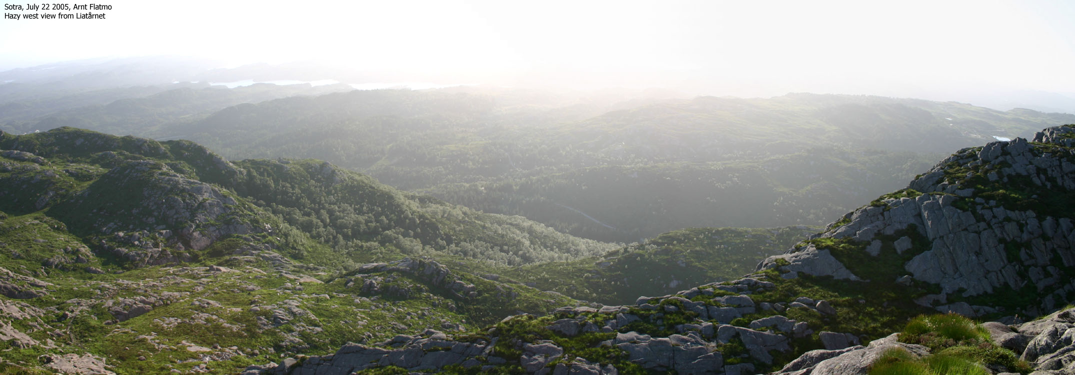
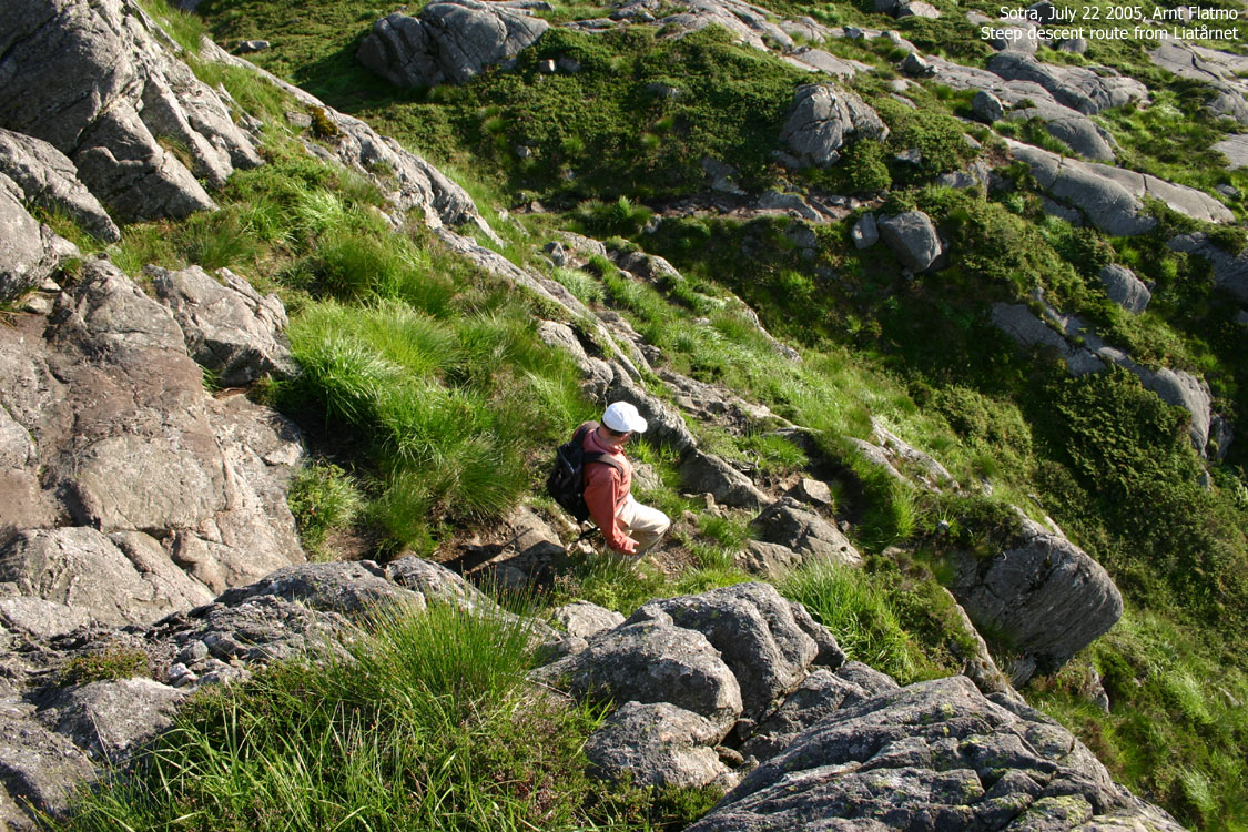
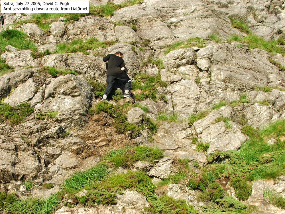
The time was 18:55PM when we reached the top. It had taken us 55 minutes from the car. Unfortunately, the haze didn't allow for good pictures. A swarm of gnats bugged us big time, and the summit stay didn't last long. We took a different trail down the upper part of the mountain. This route was quite steep and probably a nightmare under icy conditions. I had to carry Troll in the lower section, and struggled a bit with some moves. 20:00PM, we were back at the car and Troll had (except for the short, airy part) walked all the way up and down, as I had hoped he would.
Move cursor to read notes, and click on the images to see full version.
Some of the thumbnails may have been cropped to fit the format.
Pictures are presented in the order they were taken.


Additional pictures from David


No Javascript:
1 2 3 4 5 6 7 8 9 10 11 12 13 14
