
Norwegian Mountains, Møre og Romsdal
Blåhammaren, Otrøya, Feb 16 2008
Back to the main Klausethornet/Blåhammaren page.
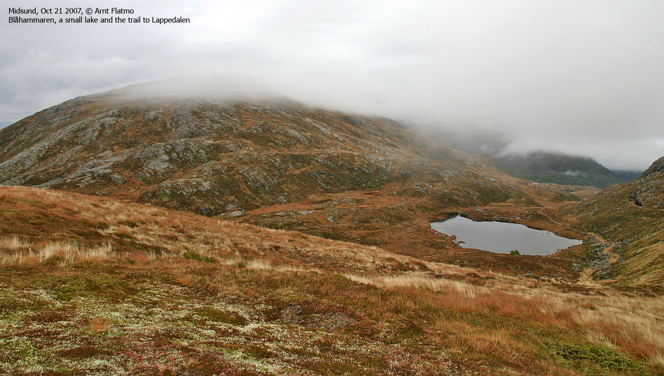
Blåhammaren
(Click for larger image)
Me and the rough sea..
is not a love story. The sea wasn't exactly rough on this Saturday, but the wind-speed was somewhere between strong gale and storm. I was waiting for the Dryna ferry in Brattvåg, heading for Blåhammaren on Otrøya, and was wondering if I really, really wanted to hit the ocean. Eventually I decided that the drive from Ålesund shouldn't be wasted, and that I could very well handle 20 minutes across the sound.
On board the ferry, I realized that I had - once again - misread the ferry schedule. So before I could drive onto Dryna island, I had to also visit Harøya and Fjørtofta islands. Harøya is 13Km north of Brattvåg, and I had to spend 1,5 hours on this ferry. Without even a newspaper to read. I almost went mad of boredom, and killed time playing jokes on the dog. My 14 year old dachshund doesn't fancy jokes, and put up his 4 teeth-grin.
Then I was running out of ..
time. I was determined to return on the 15:20PM ferry, and spending the extra on the hour on this vessel gave me only 2,5 hours for the entire hike. Not that it seemed too difficult (after all, the mountain was only approx. 500m), but the whole thing now had an element of stress.
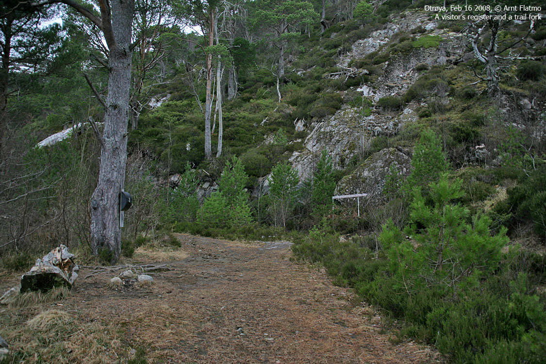
I used the GPS to locate the trailhead. On last year's hike to Klausethornet, I noticed the forest/mountain road coming up from Klauset. I didn't have the will to visit Blåhammaren back then, but made a mental note about the road. "Troll" and I left the trailhead 12:32PM. I let Troll walk and take his time as long as it didn't go upwards. 1Km and 15 minutes later, we crossed the river from Lappedalen, and I put Troll in the backpack.
Hit and run..
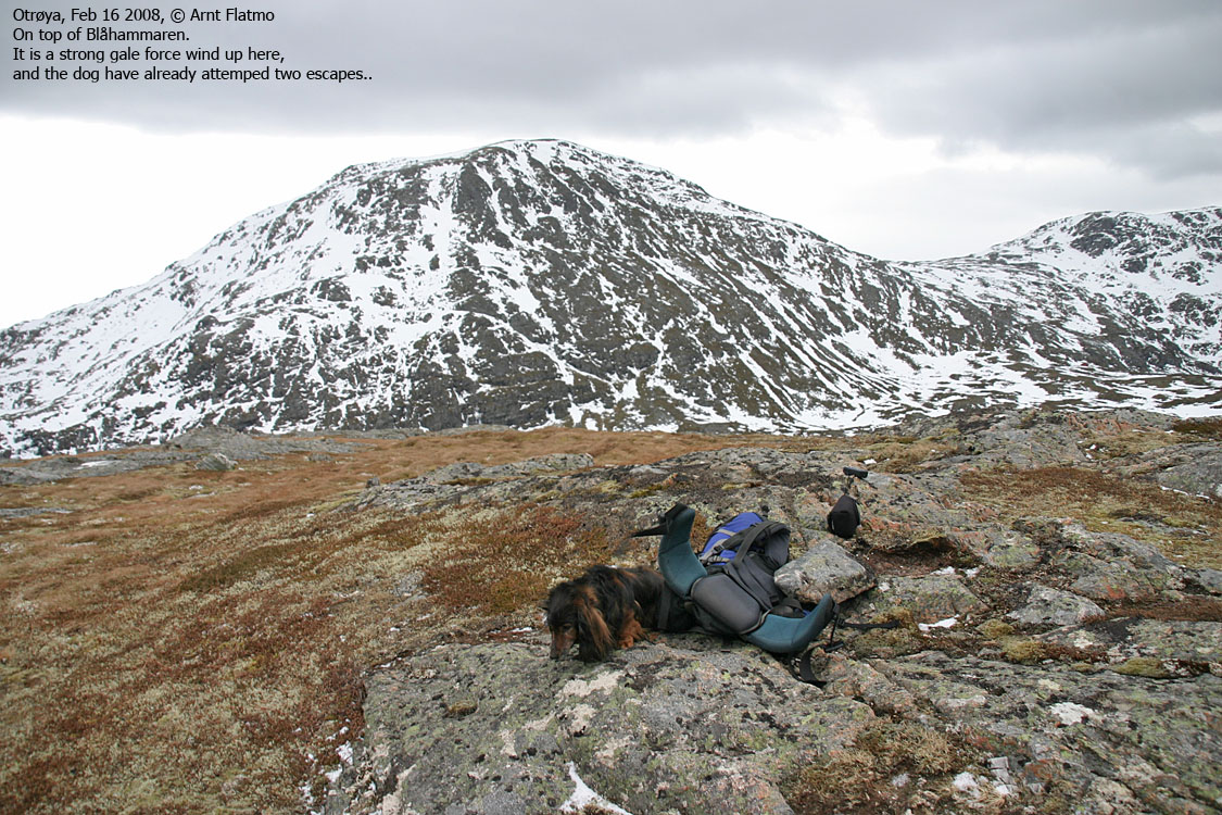
At 240m elevation, I decided to leave the forest road and aim directly for Blåhammaren. The mountain ridge was quite gentle, and a number of pitches with hard snow saved me from losing all energy on the boggy fields. Halfway up the mountainside, I felt the strong wind. Up on the ridge, walking straight wasn't all easy. We reached the top 13:34PM, almost exactly one hour after leaving the trailhead, and Troll turned immediately around.
After bringing the dog back to the summit, he ran again. He did not seem happy to be up here. This time I ordered him to stay in a comprehensible manner. I then tried to take pictures, which was far from easy.
It took us 8 minutes to descend from 508m to 300m. Hard pitches of snow were perfect to slide on. The dog did not like this type of descent at all, but calmed down when I bent over and held my hand on his back. It was just like 8 minutes of a curling game.
Back on the forest road, he was all merry again, and walked all the way down to the car. The time was now 14:33PM, and a 2-hour hike was over. And we were in good shape for the 15:20Pm ferry. Then, the forecasted rain sat in.
Stupid truck driver..
Arriving Dryna ferry harbor, a truck had parked in a weird place. There were room for 3-4 cars ahead of the truck, and I welcomed the open space. After one minute, I realized why the truck had chosen that spot. The wind was just awesome. My car, weighing 1200Kg, was bouncing from side to side. And what wouldn't the wind do to the truck, 3-4 times higher than my car?
There are lessons to be learned, every single day of the year...


