Norwegian Mountains, Møre og Romsdal
Grødet and Otrefjellet, Mar 19 2006

This trip follows routes #1 and #2, also described on the
Grødet/Otrefjellet main page Trip report, Mar 19 2006
The weather this Sunday was about the same as the day before, and I didn't feel inspired to
head up to the mountains. But staying home two days in a row was unbearable, so I
went the Haram region,
settling for two tops of moderate height; Grødet and Otrefjellet.
I had brought along my new snowshoes (Åsnes Simle), which I might be needing later
in the winter. I had never walked on snowshoes before, and was curious about how it would feel.
These tops get a rough treatment from the winds that roam the coastline, and skis wouldn't have
been a very good option. As such, I was optimally equipped.
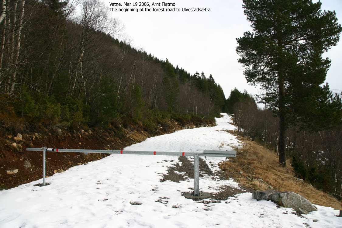
Trailheads aren't necessarily easily found in Norway, and after driving "all around" Vatne, I found
the road that would take me to the forest road that I had planned to follow. I parked at the bottom
of a long hill that had snow on top (it was snowing when I arrived). The snow actually melted before
I reached the top of the hill, but at least I got more vertical meters out of it...
We left the trailhead 11:35AM, and my dachshund Troll was actually .. walking. And he did so all
the way to Lake Ulvestadvatnet, which we reached exactly one hour later (we had taken our time,
and chatted with other hikers along the way). While we had fairly good weather up to now, the
weather changed dramatically when we reached the lake. Hail and snow came in, and the wind forced me
to put my balaclava on. I put the dog in the backpack and wrapped a nice blanket around him
before I put the snowshoes on.
The snowshoes were light and easy to walk with. After a while, I forgot that I was wearing them.
I was more focused on figuring out how I get directly from Otrefjellet to Grødet. The terrain
was much steeper than I had pictured it to be. High on the ridge, I ran into a broken cliff area that
cut into the ridge. It looked like a ravine with teeth. I climbed carefully from "tooth to tooth",
(now being very aware of the snowshoes) before reaching a dead end. I climbed back and bypassed
this weird piece of nature by staying on the west side.
I reached Otrefjellet 13:20PM, and the summit was windy. I stayed 5 minutes before I headed back down.
I was strongly considering a direct descent from Otrefjellet, but it was too steep for wearing snowshoes.
With the biting wind, I didn't want to spend time finding a way to attach the snowshoes to the backpack
(the inner side was occupied by a dog). Had I been alone, and on foot, I would probably have descended
directly down to the north end of the lake, followed by a direct ascent of Grødet.
But I wouldn't lose *any* time by heading back to the south end of the lake and follow Grødet's
south ridge up to the summit, and this was what I did. The weather was quite good when I reached the
lake, and I took a 5-minute break in the forest. I had chosen a steep route up from the lake, which was quite hard
now that I was wearing snowshoes.
I reached the top of Grødet 14:40PM. Visibility was close to zero, and I had to seek shelter behind
the cairn. I lifted Troll out of the backpack so he could enjoy his "summit lunch", still wearing his enormous
fleece blanket. We stayed for 10 minutes and headed back down. Troll was following the trail I broke
with my shoes, but he wasn't happy. Back on the forest road, he found new spirit and had an enjoyable walk
to the trailhead, which we reached 15:35PM, 4 hours after we started.
Pictures from the Mar 19 2006 trip
(Help text (ALT) is available when your cursor is above the thumbnails. Make sure you've got the ALT switch turned on in your browser)
To Ulvestadvatnet


To Otrefjellet


To Grødet


No Javascript:
1
2
3
4
5
6
7
8
9
10
11
12
13
14
15
16
17
18
19
20
21
22
 westcoastpeaks.com
Other Møre & Romsdal mountains
Other Norwegian mountains westcoastpeaks.com
Other Møre & Romsdal mountains
Other Norwegian mountains
| 