
Norwegian Mountains, Møre og RomsdalStorhaugen, 52m (Aspøya, Ålesund)
Storhaugen on Aspøya
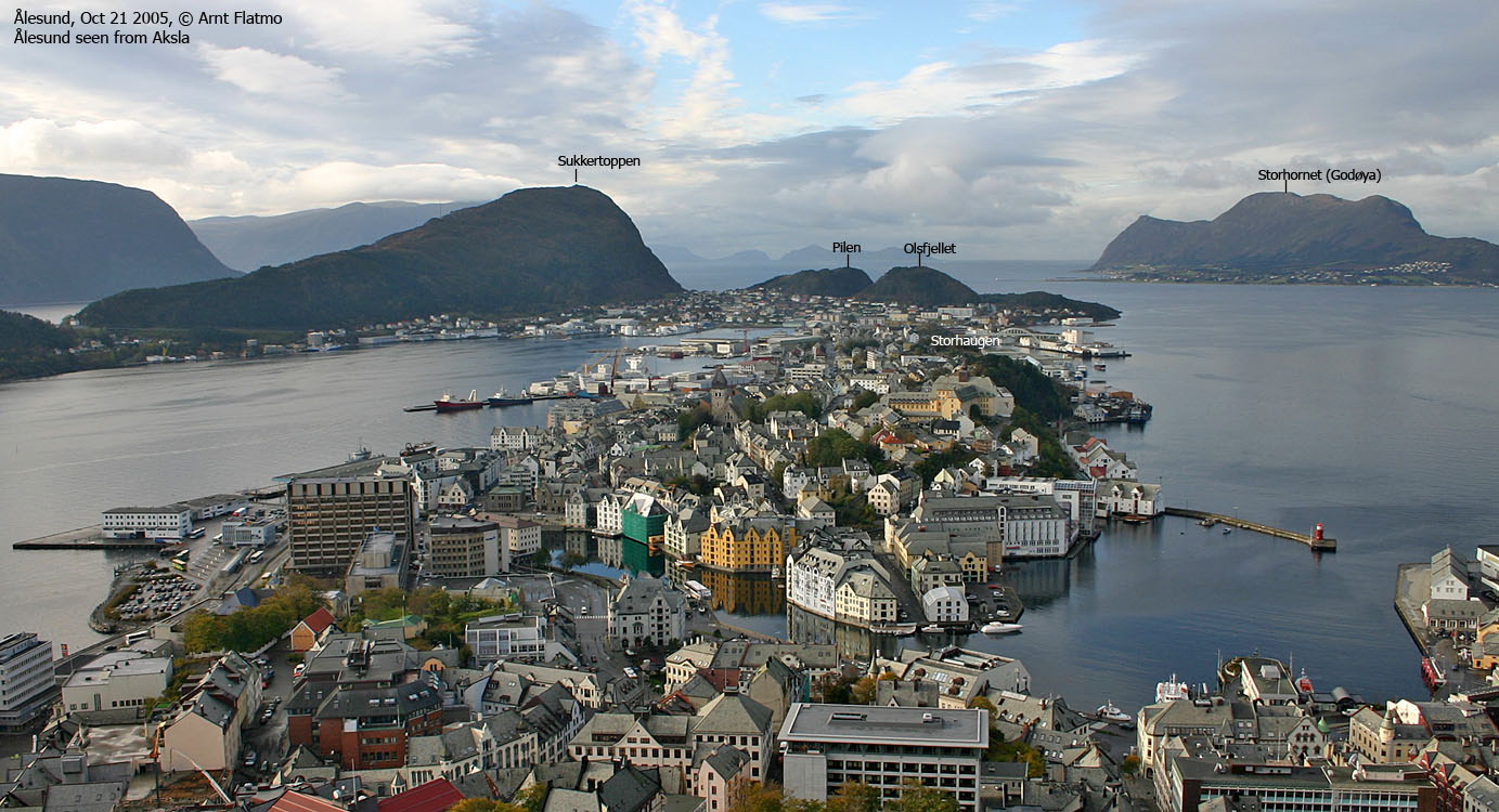
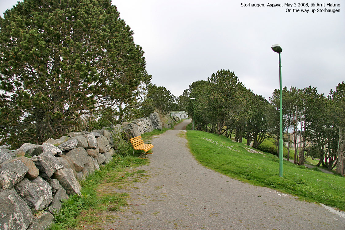
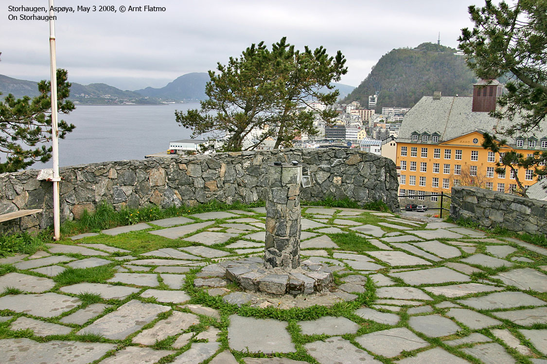
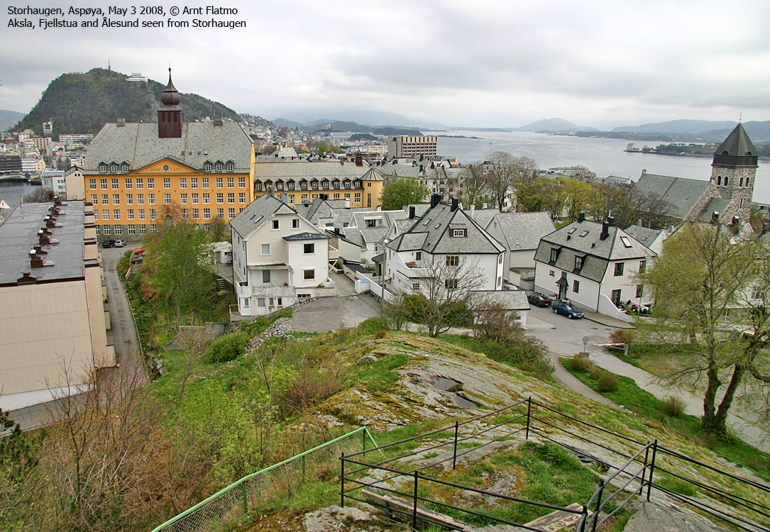
IntroductionStorhaugen (Big Hill) is the highest point on Aspøya island, a part of the city of Ålesund. Aspøya is located between the islands Hessa (on which Sukkertoppen is located) and Nørvøya (on which Aksla is located). A small park is found at the top and getting there from the car is a matter of minutes. The Ålesund views cannot compare to the views from Aksla. The locals walk their dogs in this park, and a lot of tourists end up on this hill as well. 
Storhaugen on Aspøya
Primary factor:Storhaugen (Norge 1:50,000: 52m, Økonomisk Kartverk: 52,16, UTM 32 V 352686 6930065) has a primary factor of 52m, being the highest point on Aspøya island.
Google map
Google's interactive map. You can zoom, pan and click on the markers.
Trail descriptions
Notes: Class ratings are in reference to YDS. Click here for more information.
The trails described below are not necessarily the *easiest* trails to this mountain.
Access (all distances are approx. distances) From Ålesund, follow the road westbound towards Hessa and the Aquarium (Akvariet). After gaining a hill (the only hill), you're in a roundabout, and the Aspøya - Hessa bridge is just ahead. Turn right onto the Steinvågvegen road (not signed). Follow this road (which becoms Kirkegata) for 750m. Turn left onto Gangerolvs gate (not signed). The next intersection is Giskegata. Turn left and find parking (parkometer) to your left. The route The park is just above you. A loop road will take you to the
top, which is a circular yard made of brick stone.
Pictures
No Javascript
|


