
Norwegian Mountains, Sogn og Fjordane
Amlaholten (508m) round trip, Dec 6 2009
To the main Amlaholten page (maps, route descriptions, other trip reports, etc.)

Amlaholten
(Click for larger image)
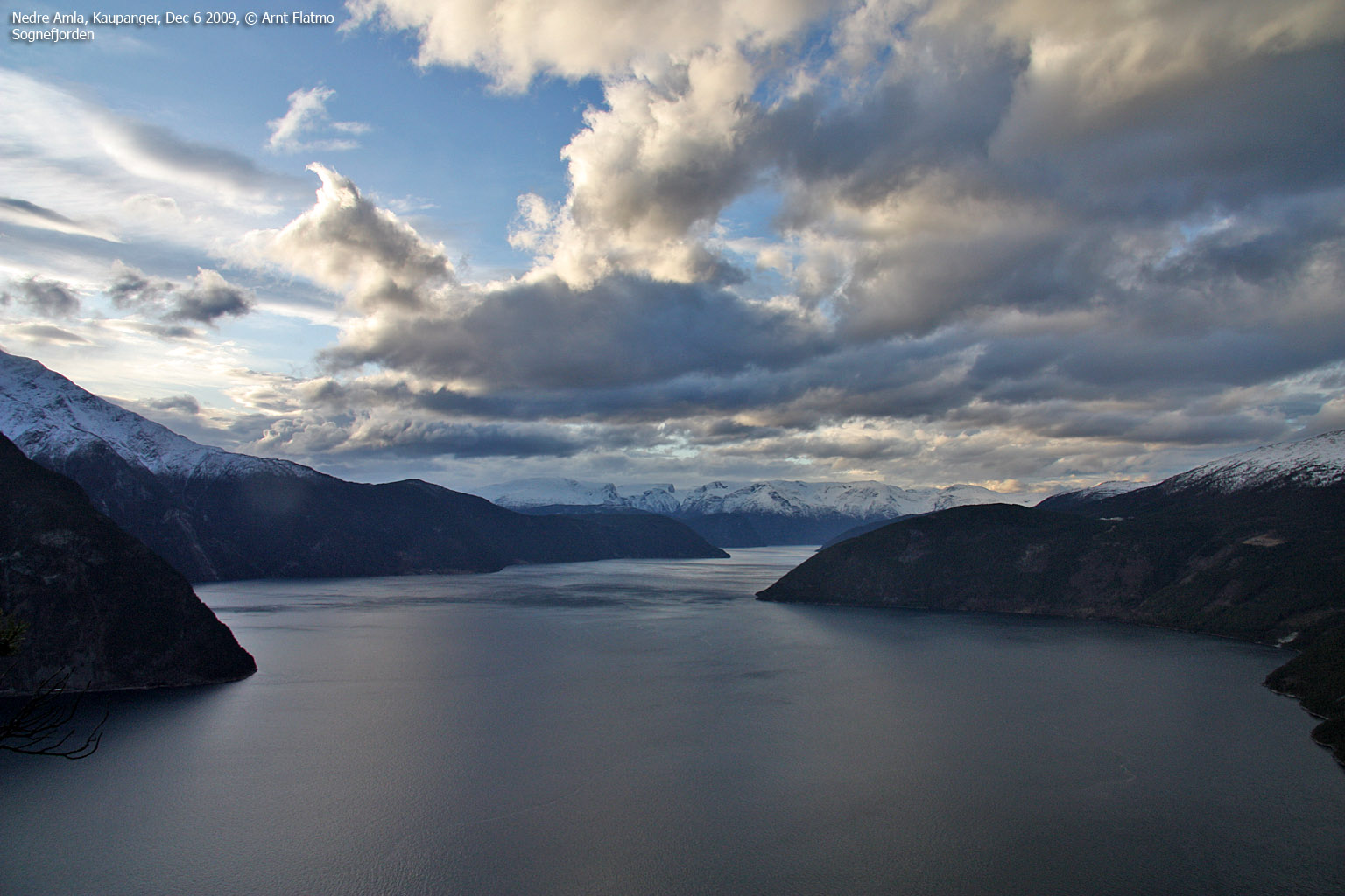
This was the 2nd day of my 3-day stay in Sogndal, and the target was Amlaholten - a forest hill at Kaupanger. Like the on yesterday's hike to Molden, my hiking mate was Anne Rudsengen. The Molden hike gave us a wonderful view towards Lustrafjorden, and today I looked forward to more fjord views - this time Sognefjorden. Anne suggested an off-trail route from Neset, literally starting from sea level, and by 11:26am, we were on our way up the forest.
From the end of the Neset road, we continued along a forest road and from a sharp left bend, we followed a path down to the shore. The route to Amlaholten was now given - straight up. I enjoyed the open pine forest with small cliffs all around. We could bypass or scramble them, and we did a bit of both. Higher up on Amlaholten's west ridge, we stayed to the right to get a better view towards Sognefjorden.

Looking for viewpoints
(Click for larger image)
I could now see Storehaugfjellet 8km to the west, and a ski-trip with Petter and Jacko in November 2002 came to mind. Because of near whiteout and bad data from Statens Kartverk, we never reached the highest point back then. So that's a mountain that needs to be revisited..

Storehaugfjellet
(Click for larger image)
1:03pm, Anne and I reached the top of Amlaholten. The summit view was obscured by trees, but I was quite content with the pictures I had taken on the way up. A few minutes later, a deer hunter - fully camouflaged and with a rifle + silencer suddenly appeared. He left just as quietly as he surfaced, and this encounter added a creepy dimension to our off-trail journey up the forest...
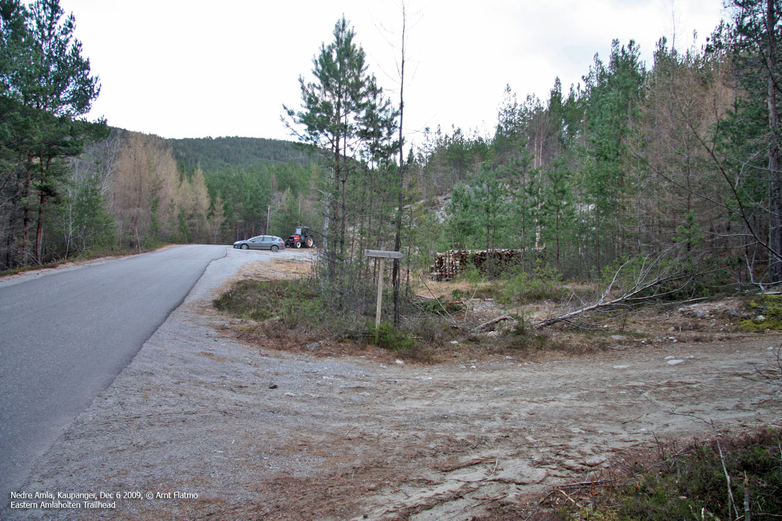
A couple came in from the east, and we talked for a little while. When it was time to leave, and just for variation, Anne and I decided to follow a different route down - this time along a marked route. When we reached the Festingsdalen road, we had a 2,7km walk back to the car ahead of us. Walking along a car road isn't all that fun, but as it was all downhill, it was OK. At least I now I had learned one of the public routes to Amlaholten.

Descending Amlaholten
(Click for larger image)
We returned to the car 2:36pm - 2h:10m after heading out. I really enjoyed Amlaholten - my 99th new top in 2009, and I was already looking forward to the 100 new-top "celebration" on Stedjeåsen the next day.


")


