
Norwegian Mountains, Nordland
Visttindan
Vistkjerringa (1239m), Vistmannen (1066m) and Litlskardtinden (1182m) from Eiterådalen, July 15 2010
To the main Visttindan page (maps, route descriptions, other trip reports, etc.)

Visttindan
(Click for larger image)
A superb holiday in northern Norway was coming to its end, but Anne and me had one more project left on our roadmap; Visttindan! I had been looking at these distant peaks from the Brønnøy mountains over several years, and promised myself that I would go there some day soon.
The trip had been on the agenda for quite some days, but the weather hadn't been on our side. But 3 days before we were to leave our summer base-camp in Brønnøysund, the weather suddenly turned to the better. As the hike would be (more than) long enough, we decided to drive into Eiterådalen the day before the hike, and camp (preferably) close to the trailhead. The plan for the next day was to do a round trip across Vistmannen, Vistkjerringa and Litlskardtinden...

The route, as seen in Google Earth
(Click for larger image)
Not many roads seemed to take us from E6 to the road on the west side of the Vefsna river, but according to the map, there was one near nedre Fallmoen. This river crossing gave me the creeps, and after checking with the closest neighbor that people actually drive across this bridge - I ordered Anne out of the car. There was no sense in both of us going into the river...

Memorable river crossing
(Click for larger image)
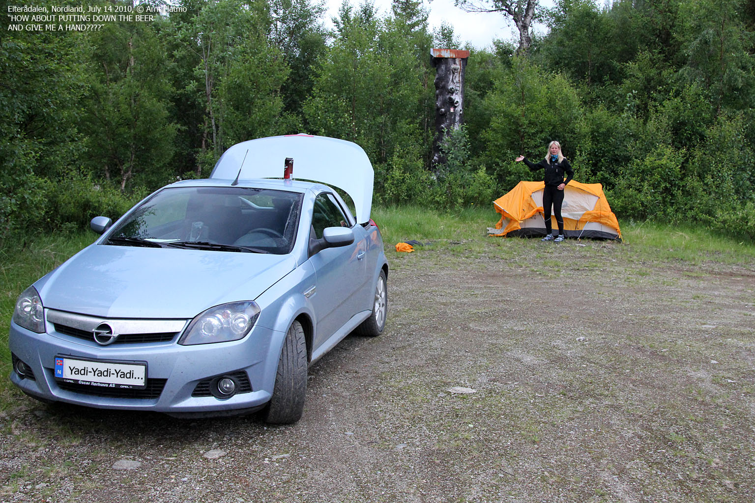
Amazingly, I survived the river crossing, and we were now on our way into Eiterådalen. The road was fairly OK, except for the place where we had to pass a lumber truck - with minimal margin. Our trip could easily have ended there. But, we made it to the end of the road and set up the tent just outside the road. This place is obviously also a popular barbeque spot - located close by the river. We built a fire and had a nice meal. Our Visttindan project was on!

Camping out in Eiterådalen
(Click for larger image)
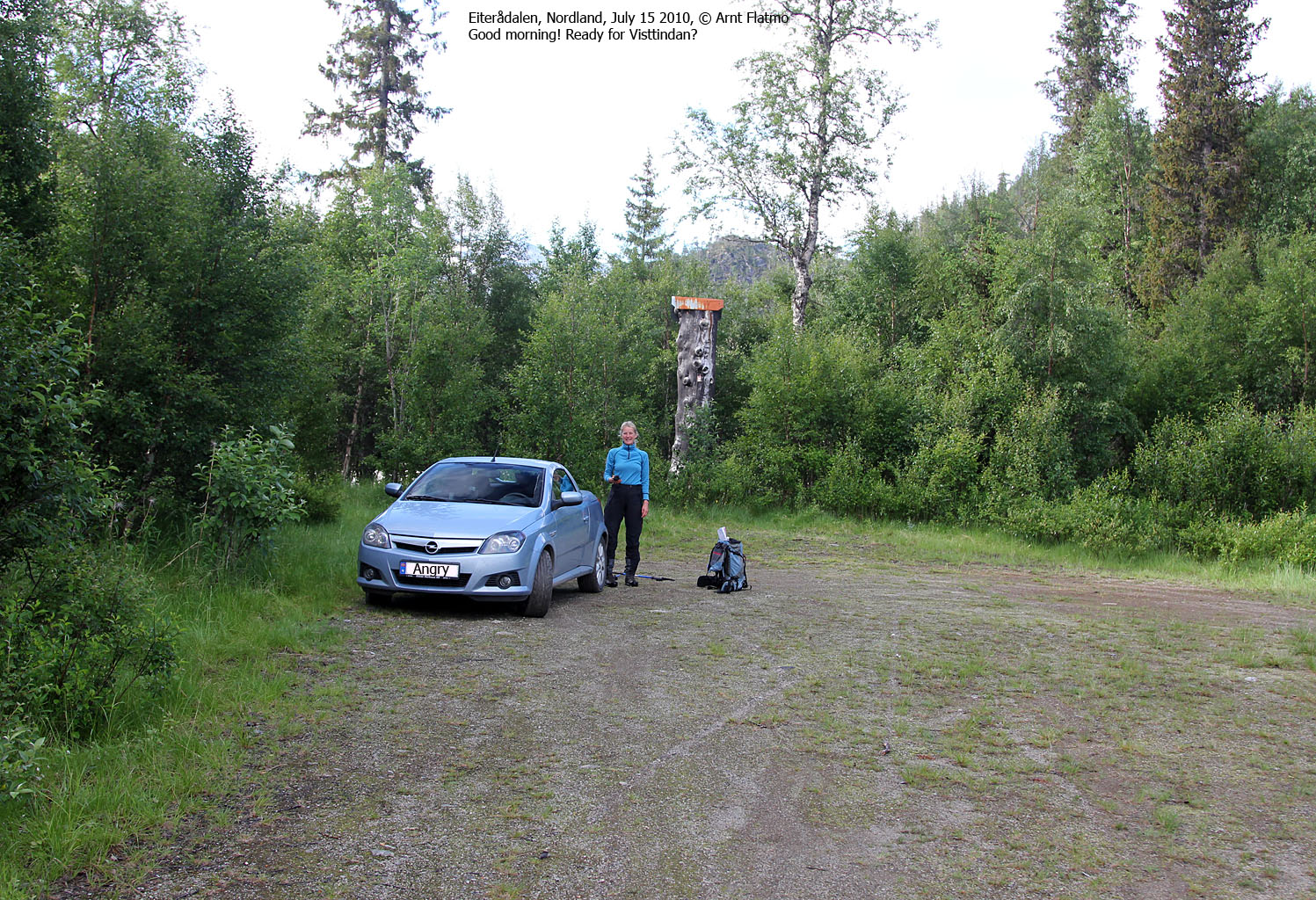
We woke up the next morning to a beautiful day. After rigging down the tent and a enjoying a light breakfast, we were on our way 08:10am. We located the forest path - slash - tractor road and followed it up the forest. We continued upwards along the Trolldalsbekken creek, and the path was easy to follow all the way up to the plateau. From here on, we were above the forest and were no longer in need of a path. And in the distance, we could see the beautiful Vistmannen peak...

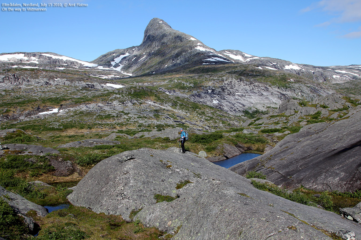
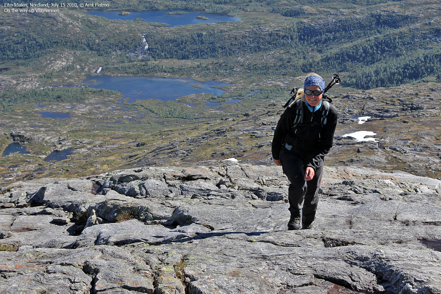
Vistmannen
(Click for larger image)
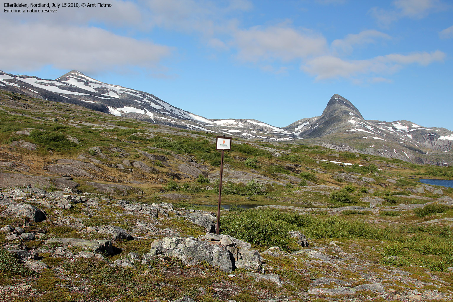
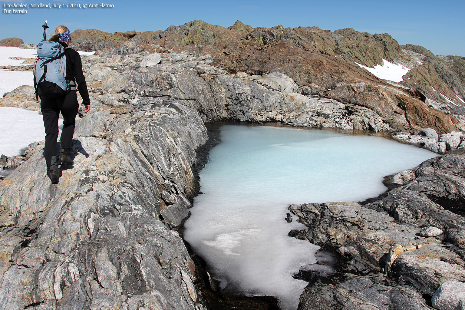
As we arrived the Lomsdal - Visten national park border, Vistmannen was approx. 4km to the west. It was just a matter of finding the easiest route. We went across a rocky hill that doesn't really show on the maps, before descending to lake 515m. Here, we had to ford the drain from the lake. We had not gathered any detailed information about the peaks, and when seen from a distance, it could seem as if the upper part of Vistmannen could be a bit tricky. Only time would tell.
Vistmannen's east ridge was very enjoyable. What appeared as tricky spots from a distance, turned out to be quite gentle and easy. Still, we had to look for the easiest route to the top. It was by no means totally obvious.
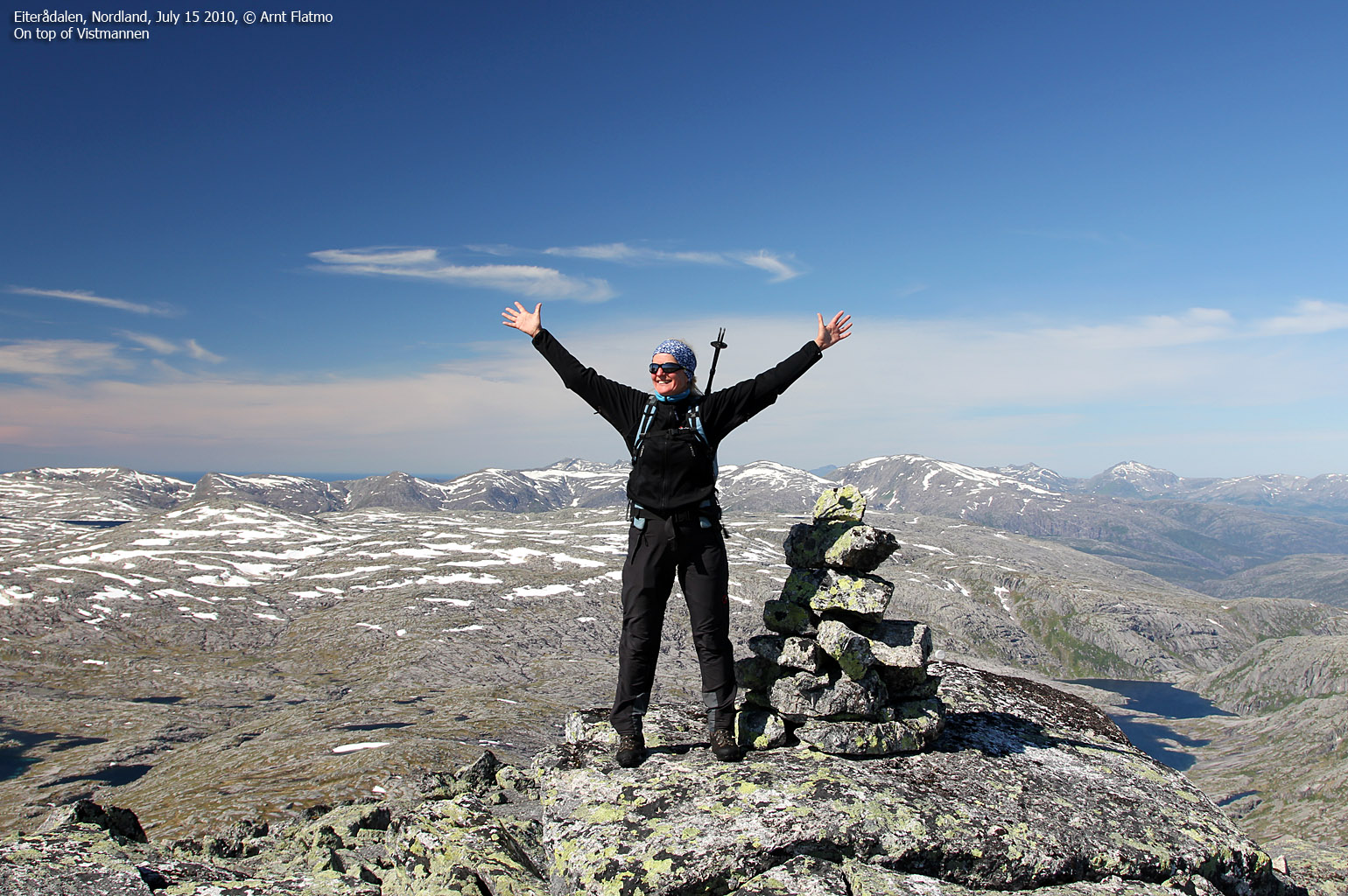
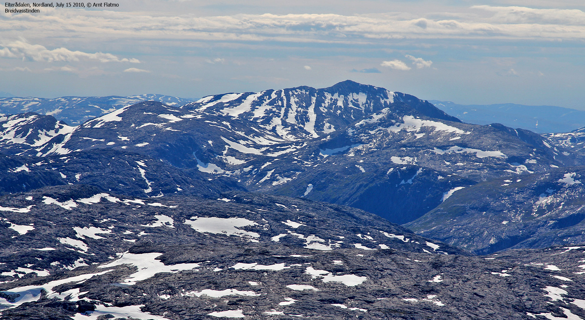
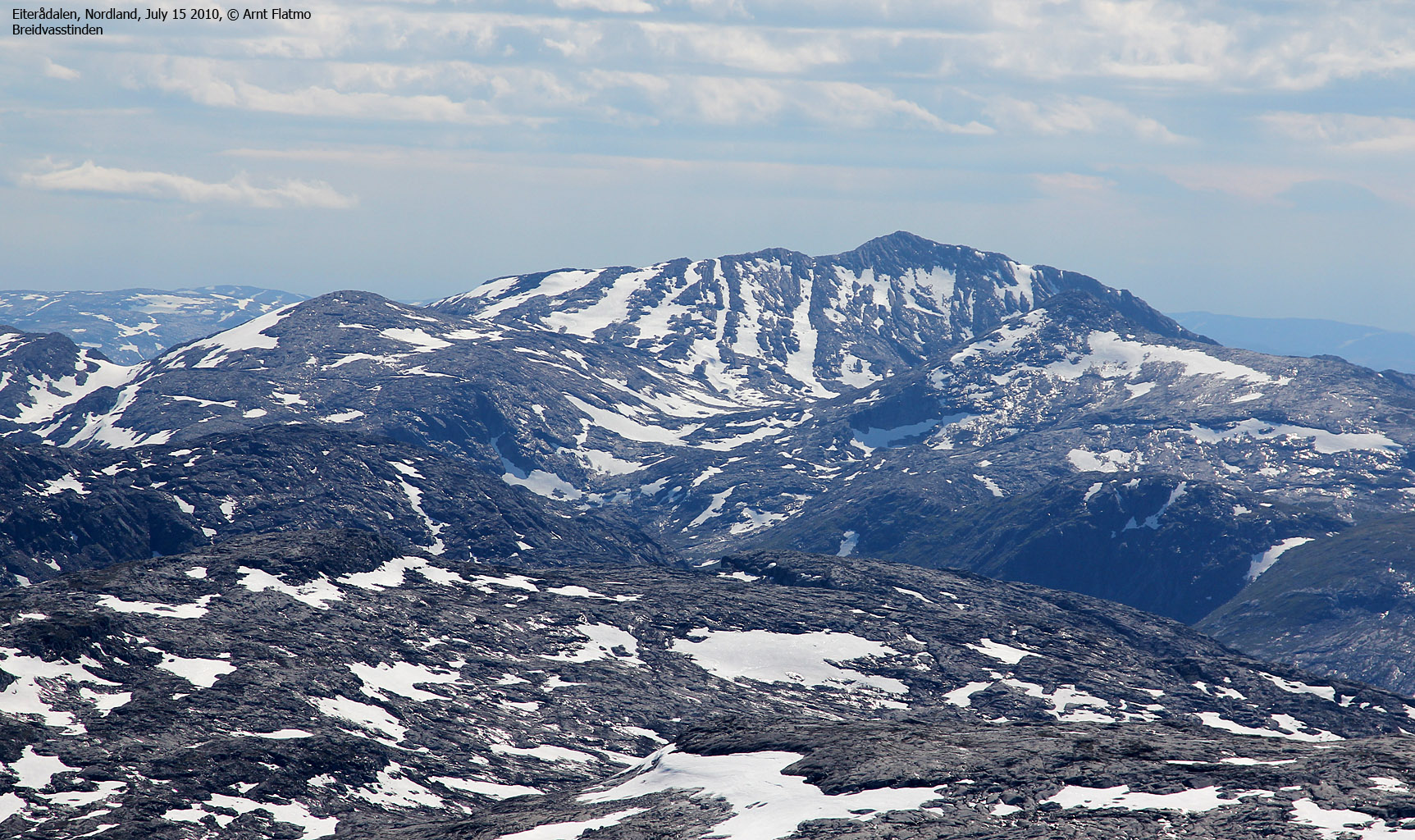
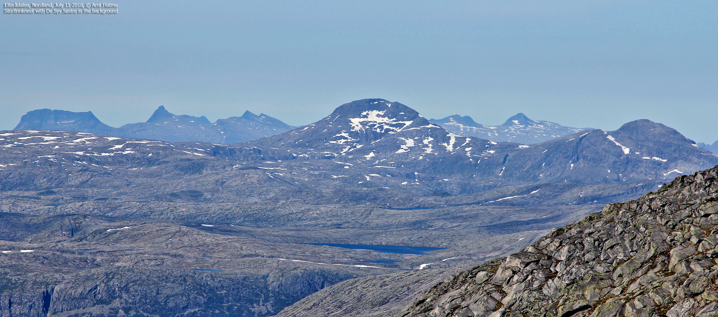
We reached the top of Vistmannen 11:22am - 3h:12m after leaving the trailhead. We had walked almost 8km and gained 950 vertical meters. There was still plenty left of the round trip, but it felt really, really good to finally stand on top of one of these peaks. This felt like true wilderness, albeit I could see familiar mountains in all directions; Okstindan, Børgefjell, Breidvasstinden, Heilhornet, De Syv Søstre, Finnknean, Geittinden - to name a few. Compared to the plateau, the summit was a windy spot, and our jackets soon came on.

On top of Vistmannen
(Click for larger image)
After a nice stay on Vistmannen, we descended our ascent route to 700 meters, when we turned southwest and began the ascent of Vistkjerringa. The route across Vistkjerringa's slab ridge wasn't obvious either, but seemed less complex than Vistmannen's east ridge. The route presented itself as we gained elevation, and we had no difficulties on our way up to the summit.
We arrived on Vistkjerringa summit 1:37pm. We had been on the move for 5,5 hours and it was tempting to take a good rest. But the mountain was incredibly windy and we had only covered approx. 60% of our round trip - although most of the elevation gain had been done. After a short stay, we descended Vistkjerringa's southwest ridge in light gale.

Vistkjerringa
(Click for larger image)
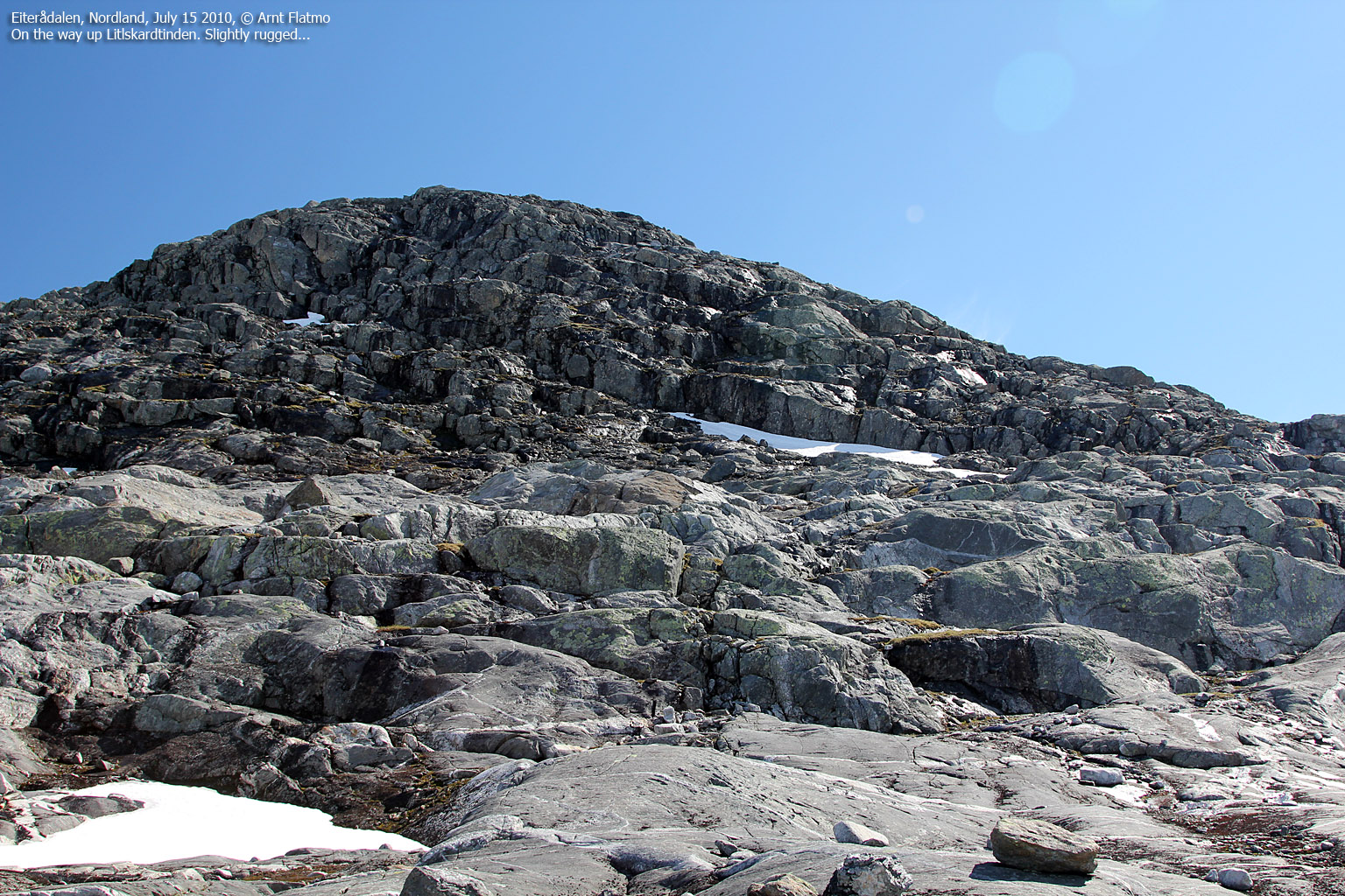
The wind settled on the plateau between Vistkjerringa and Litlskardtinden and things went back to normal for a while. Litlskardtinden seemed rugged enough to look interesting, although I strongly suspected that we wouldn't face any major challenges once we made closer contact to the mountain (which I found a bit disappointing, in case you wonder...)
I decided to dedicate a minute to ponder on the name of the mountain we were heading for. We were now in the Visttindan mountains. We had ascended Vistmannen and Vistkjerringa. We were inside the Lomsdal - Visten national park. Søre and Nordre Vistvatnet was seen to the west and we were now on our way to Litlskardtinden??
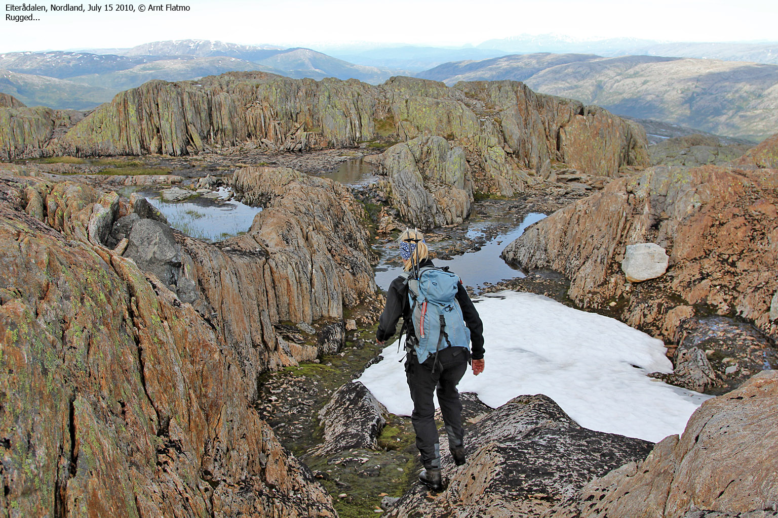
As suspected, Litlskardtinden didn't offer any difficulties and we arrived on the top 2:30pm. Happy as we were about our 3rd mountain for the day, I think we both were happy to set the course towards Eiterådalen. We descended Litlskardtinden & Vistkjerringa's east ridge - leading to Sirijordaksla, and this ridge offered was far from dull! There were ups, downs, small lakes, colors, sharp rock, smooth rock, and ... "Vistknerten".

Leaving Litlskardtinden
(Click for larger image)
"Vistknerten" (my name) is one of two pointy rock features close to point 1122m. This rock has to be scrambled, and it is a bit exposed too. Vistknerten only added flavor to an already interesting hike across the east ridge.
At 580 meters, we joined our ascent route - just north of Småtjønna. The sky was no longer blue, but we had stayed clear of any rain - the most important thing on a hike of this length. We returned to the trailhead 5:43pm - approx. 9,5 hours after heading out. We had hiked almost 23km and ascended 1900 vertical meters. In other words, it had been a long - yet rewarding - day in the Visten mountains.
I decided not to push my luck and skipped the bridge at nedre Fallmoen. Instead, we followed the road west of Vefsna down to Grane, where we got on the E6. And from Svenningdal, we followed RV76 back to Brønnøysund.

Litlskardtinden
(Click for larger image)
Pictures
The pictures were taken with a Canon EOS 550D + Canon EF-S
17-85mm IS USM F 4-5.6 +
a Canon Digital IXUS 80 IS


