
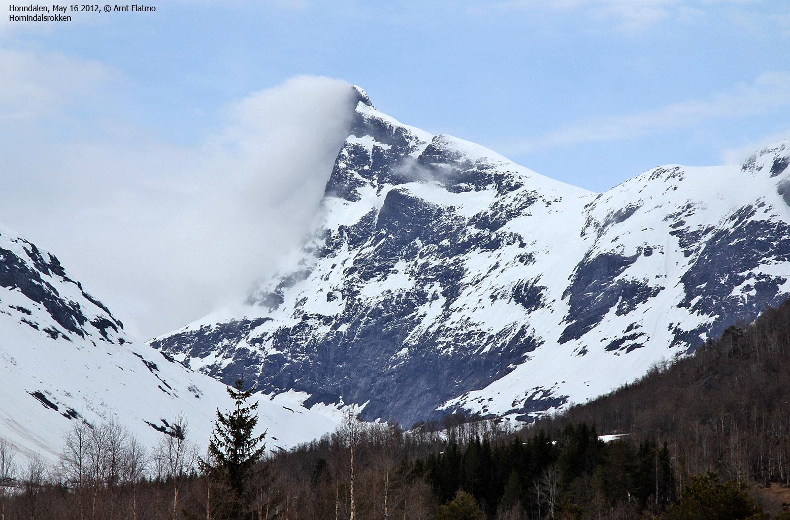
Norwegian Mountains, Vestfold
Tour de Vestfold, May 17-20 2012
To the main Vestfold page (maps, pictures, other trip reports)

Tops visited - May 18-20 2012
(Click for larger image)
Background
All Anne and me knew was that we were to attend a confirmation on Nesodden on May 20th. The question was when should we depart from Sogndal and what should we do in the meantime? The outcome was a very enjoyable tour de Vestfold, including a visit to 11 municipality high points (+1 one more forest top), a visit to Verdens Ende (the End of the World), a bike trip through Bøkeskogen in Larvik, the shortest (surely!) ferry trip in Norway, the perfect base-camp at my friends Lars and Cathrine's house in Tønsberg, a reunion with many good friends at the confirmation, and Tønsberg - Gurskøy non-stop drive in the middle of the night. Here are the "highlights"...
May 17 2012 - To Holmestrand
When Anne and me left Sogndal, we knew perfectly well that it was our National Day, but we thought (read: Anne led me to believe ) that the parade would not go through the main street. Well it did! But if we were really clever, and took a (hark!) "back road" (hark again) by the church, we stood a good chance of making the main street before the parade did.
We made it by the shortest margin possible, and drove through Sogndal's main street while hundreds and hundreds of people were waiting for the parade. It was surreal to say the least. The parade had deserved better than being led by an old Yaris - seriously in need of a wash. And while Anne was smiling and nervously waving her flag, I wondered if I should just step on it - and get the h... out of Dodge. And why didn't I take that picture?
Once out of the main street, life was again as we knew it and we were on the road again...

On the road/water again. Here on Sognefjorden
(Click for larger image)
May 17 2012 - still on the way to Holmestrand...
As we approached Hokksund, it was Déjà vu all over again. Crowds were waiting alongside the road with their cameras ready. And we were the only ones on the road. Now what? The evening parade? Surely not, because there were people for miles and miles. Later on, we found out that the bikers in Tour of Norway were on our tail...
May 17 2012 - Holmestrand and Tønsberg
We took the 11:20 ferry from Manheller and arrived at Holmestrand Fjordhotell 4:50pm. That's just 5,5 hours. Not bad! We checked into the hotel and then continued towards Tønsberg where we had a very nice evening with Lars, Cathrine, Rolf and Mette Lise. Lars and Cathrine were going away for the weekend and offered to lend us their house. As we didn't have any other housing plans, this was a most welcome offer. We returned to Holmestrand late evening. A glass of wine and the view below was just the perfect way to end a long day...

View from Holmestrand Fjordhotell
(Click for larger image)
May 18 2012 - Hvittingen (404m) - High point Holmestrand
Tour de Vestfold was on. We checked out of the hotel and drove north along Sandebukta until we found the road leading to the Hvittingen forest road. We had Vestfoldkartboka as map, in addition to the GPS map and Anne did the important job of getting us to the right place. And she did the job well!
We knew that there would be a lot of forest roads, so we had brought our bikes along. As we now were on a private road, we decided to park the car and continue on our bikes. It took us 33 minutes up the 3,9km forest road and 300 meter ascent. On top, there was an antenna and a fire lookout tower. I have to admit that the views from the tower were sort of obscured by trees, but it was nice to be on our first municipality high point in Vestfold...

On Hvittingen
(Click for larger image)
May 18 2012 - Skibergfjellet (632m) - High point Hof
We continued up to Hof where we met with Lars and Lara (dog). Lars had been to Skibergfjellet before, but only on the western top. We drove up the long forest road, leaving us only with a 2,6km walk to the top. We headed out 11:40am and reached the top 42 minutes later. In addition to being the high point of Hof municipality, Skibergfjellet is also the high point in Vestfold county. On the way back, we stopped by the western top which offers a better panoramic view than the high point.
As we now would be staying with Lars and Cathrine on Nøtterøy, we decided to continue with the Nøtterøy and Tjøme tops.

On Skibergfjellet
(Click for larger image)
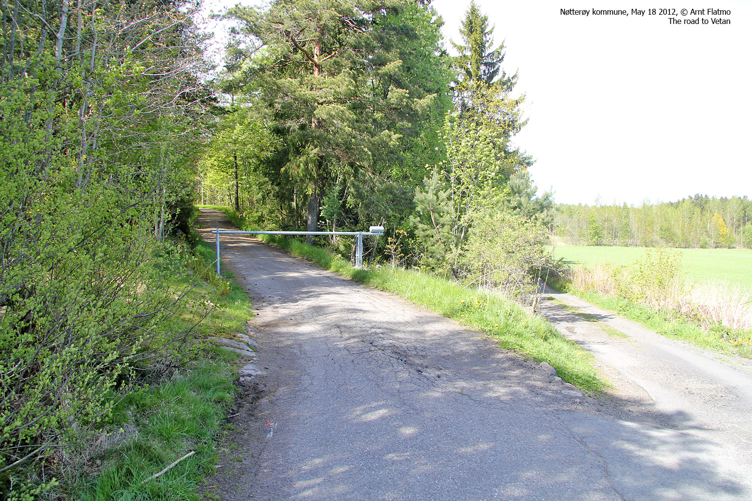
May 18 2012 - Vetan (101m) - High point Nøtterøy
A hike to Vetan doesn't take long. And with a bike, it takes even less time. Anne navigated us to the trailhead not far from Torød. We headed out on our bikes at 2:45pm and reached the top 12 minutes later. The high point was inside the fence that is supposed to protect the installation on top. And to those who wonder if we climbed over the fence; no we didn't!
On that note - seems like a badger (or some other creature) has dug its way (read: rearranged some rocks) under the fence. Better not be tempted to follow it. That's trespassing...

On Vetan, Nøtterøy
(Click for larger image)
May 18 2012 - Herkelås (80m) - High point Tjøme (?)
We continued south to Tjøme island and found a convenient starting point near Kråkere for our trip to Herkelås. Vestfoldkartboka says (per May 2012) that this is the island (and municipality) high point, although some sites (like toppomania and wikipedia) refers to Holtekjæråsen as Tjøme's high point. However, Økonomisk Kartverk (map) has an 80m contour on top, so westcoastpeaks.com will go with Herkelås as Tjøme's high point.
We headed out on our bikes 3:34pm and it was soon apparent that the route was not a biking route. But we kept at it as long as we could, and parked the bikes at the final hill before the high point. We reached the top 3:51pm and found a whole lot of rocks on top of this forest ridge. Manmade for sure! Someone got buried here - a long, long time ago...

On top of Herkelås
(Click for larger image)
May 18 2012 - Holterkjæråsen S. (79m) - High point Tjøme (?)
Just in case Herkelås turns out not to be Tjøme's high point, we continued a bit to the south and visited Holtekjæråsen's southern (forest) top. The distance from Åsen and to the top was less than 0,3km, and we reached it at 4:32pm after a 6 minute hike. This was getting a bit silly. Better get out priorities straight, call it a day and meet up with some good friends instead...

On Holterkjæråsen
(Click for larger image)
May 18 2012 - Verdens Ende
But now that we were on Tjøme, we decided to pay Verdens Ende (the end of the world) a visit. I -think- Lars took me here by boat many, many years ago, but I could no longer remember. Anne had been here - also many, many years ago and it was a nice revisit to this beautiful area. Afterwards, we returned to Nøtterøy where Lars and Cathrine had prepared a delightful meal...

Verdens Ende
(Click for larger image)
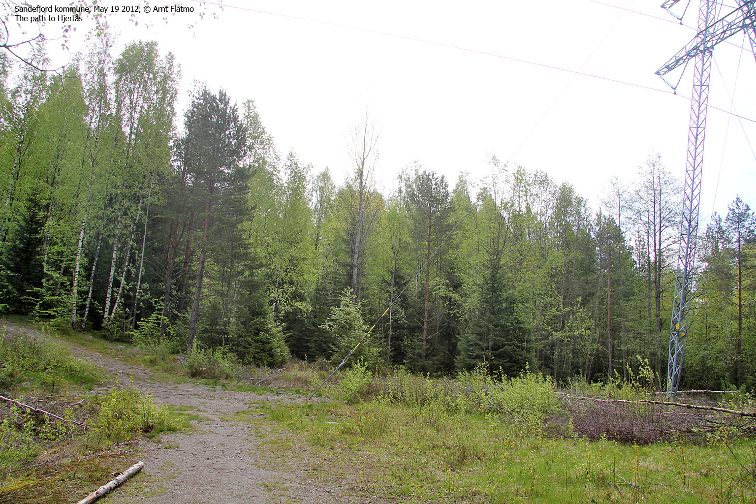
May 19 2012 - Hjertås (148m) - High point Sandefjord
Lars and Cathrine left early in the morning and we woke up to an empty house. We went into town (Tønsberg) to have breakfast at a cafe before setting the course for Sandefjord and Hjertås. Again, Anne proved to be the perfect co-pilot and by 10:15am, we were on our way to Sandefjord's highest point.
We took a wrong turn on the forest path and went off-trail through the forest. But it was a small forest, and by 10:34am, we stood on top of Hjertås. We followed the correct path back down and were soon on the way to Larvik.

Just below Hjertås
(Click for larger image)
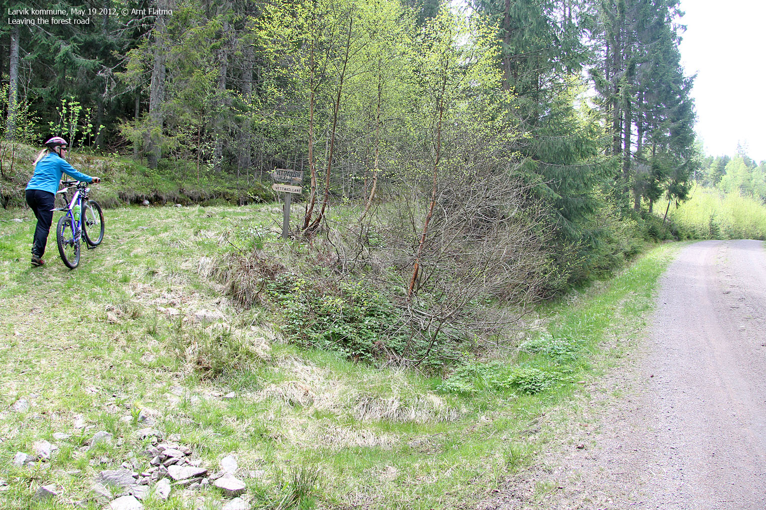
May 19 2012 - Bøkeskogen, Larvik
Anne had modest wishes. All she wanted was to visit Bøkeskogen and Lake Farrisvatnet. In my unselfish mind, I quickly calculated that there was room for granting her both wishes - without really interfering with my high point plan...
I had been to Bøkeskogen before. Probably around 1996-1997, but I had no recollections from the visit. We had a short bike trip along the main forest path before we agreed that moving on was quite OK. Back on the motorway, we realized that getting to Farrisvatnet wasn't straightforward, and Anne concluded that she was fine just by seeing it from a distance. "That was easy", I said to myself - setting course for Vettakollen - the highest point in Larvik...

In Bøkeskogen
(Click for larger image)
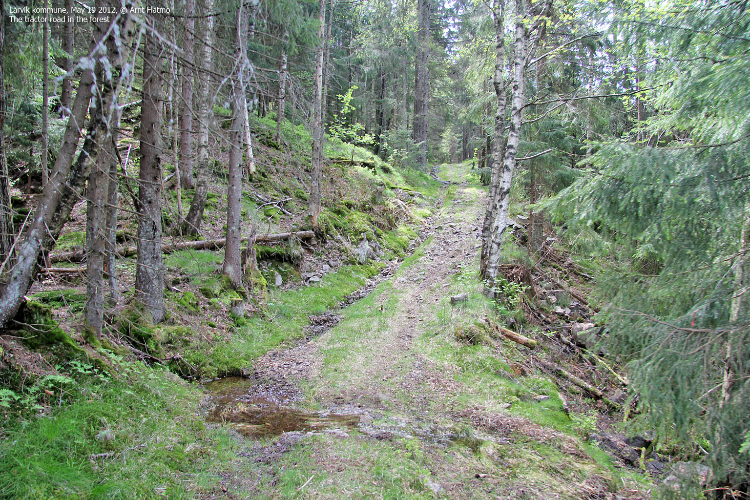
May 19 2012 - Vettakollen (456m) aka Berganvarden - High point Larvik
After a somewhat "lazy" start of the day, it was time to get going with some higher forest tops. From Bøkeskogen and Larvik, we drove up state to the place Bergan where we found the forest road to Lakssjø. After only 0,7km on bikes, we went on foot up the Askedalen forest path. We arrived on Vettakollen (Berganvarden) at 12:55pm - 37 minutes after heading out.

On Vettakollen
(Click for larger image)
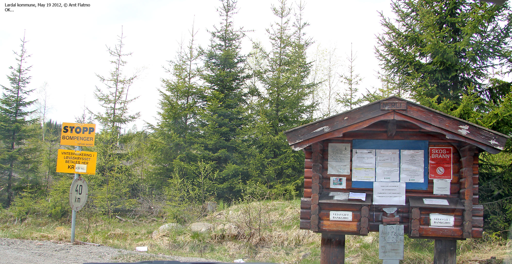
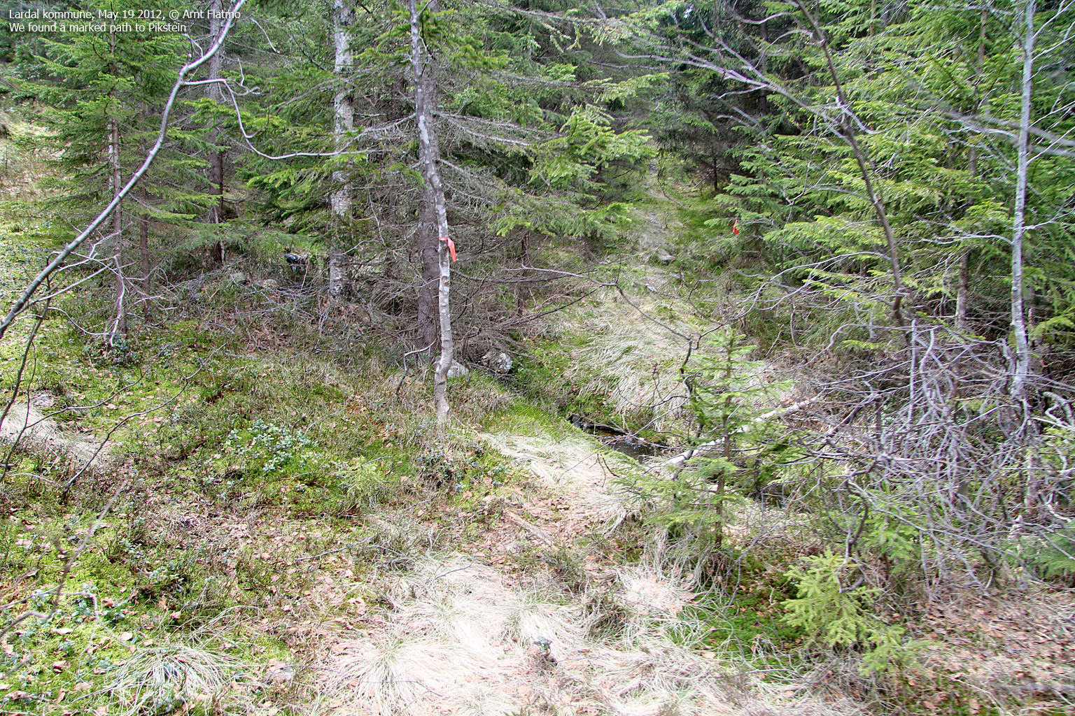
May 19 2012 - Pikstein (625m/621m) - High point Lardal
After Vettakollen, we continued north to Bergandammen and turned west on the toll road to Presteseter. But after 2,1km, the road had still not dried up after the snow melt - and was closed. Again, the bikes made life so much easier. After 3,3km we arrived at Presteseter, where we turned northwest and followed another road for 1,6km. Finally, we followed a vaguely marked forest path 0,75km up to Pikstein's point 625m (Kongsberg) and then 0,3km to the southeast to get to point 621m (Lardal) and the visitor's register. The trip (on foot and on bike) was 12,2km in total and took us approx. 1,5 hours in total.

Presteseter - on the way to Pikstein
(Click for larger image)
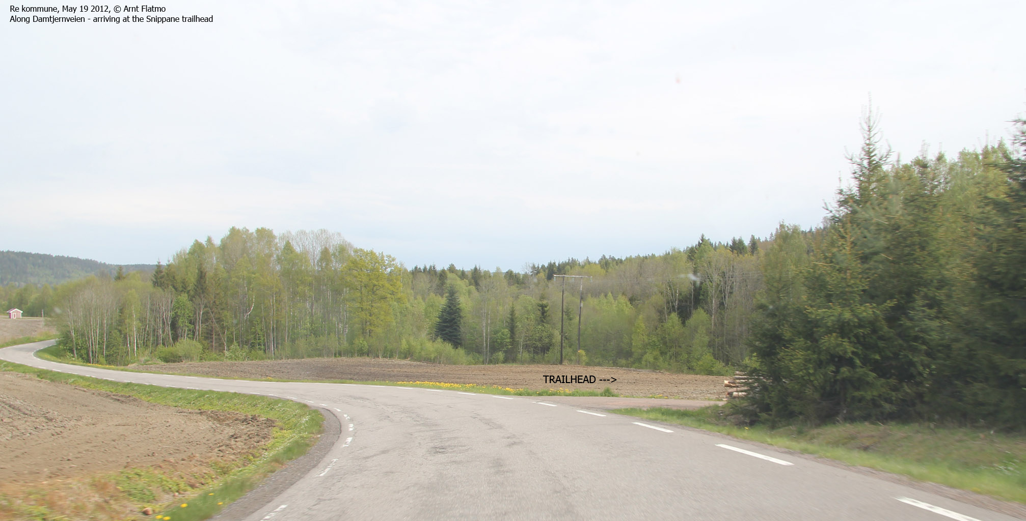
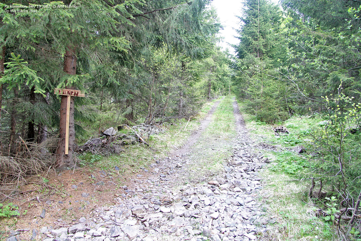
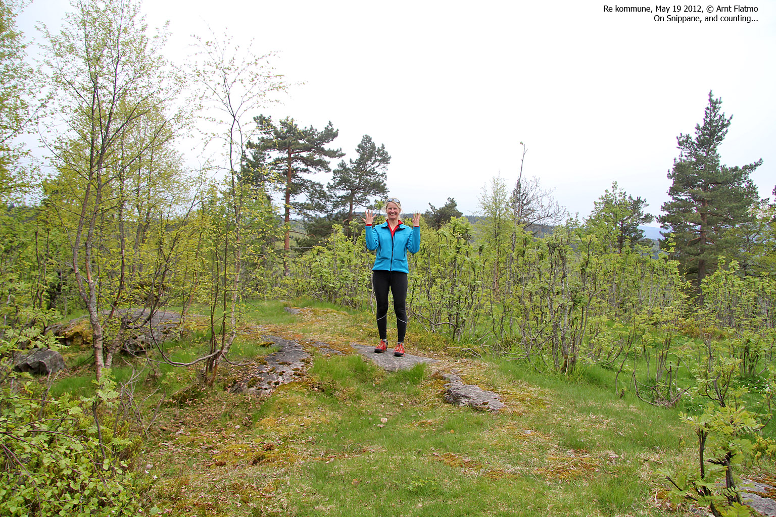
May 19 2012 - Snippane (400m) - High point Re
This chase after forest tops was fun and a bit boring at the same time. It was fun to be moving from place to place and see how fast we could find our way to our destinations. But if you've seen one forest top, you've seen them all. The time was 3:33pm when we returned to the trailhead after visiting Pikstein and we were only in the mood for one more top.
We drove west to Damtjern and located the forest road that would take us in the direction of Snippane. After 1,4km on bike, we hit the forest path and reached the top 5:03pm - 34 minutes after leaving the trailhead. Municipality top #8 was now in the bag and it was tempting to call it a day...

On the way to Snippane
(Click for larger image)
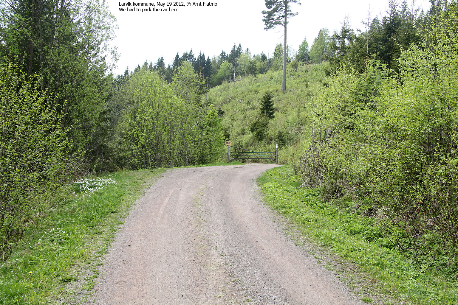
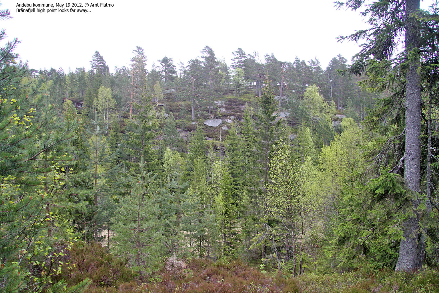
May 19 2012 - Brånafjell (399m) - High point Andebu
So we were done for the day. The only problem was that Brånafjell (Andebu high point) was located only 5,2km south of Snippane, and we would pass the trailhead on our way home. It was tempting to complete this area, but Anne was not in the mood for a long bike trip, and especially now that it had started to rain! But we agreed to drive over to Valmestad to see if the road was closed. If it wasn't, then it would be a short hike.
Arriving at Valmestad, a signpost told us that the road to Valmestadsætra was a private road. I drove to the nearest house, hoping for a small "miracle". I don't really feel like begging for driving on roads that I feel should be open to the public for a toll fee, so I asked the man in the house if he thought anyone would object if we drove up to the gate. That would at least save us 0,6km. The main said that it was a private road, but if we parked at the gate, it would probably be OK.
At the gate, Anne was not in a cheerful mood. She understood that it would be hard for me to leave without having visited Brånafjell and tried to build up spirit for the 2,9km bike trip (200 meter vertical gain) and a 1km hike to the top. In the rain! And then came the man and told us that if we wanted, we could drive all the way up. Anne was smiling continuously for the next hour...

On the way to Brånafjell
(Click for larger image)
The top of Brånafjell was reached 6:17pm, after a 15 minute walk. And Anne had no complaints! Afterwards, we returned to our base-camp in Tønsberg and had a very nice dinner at the local Big Horn restaurant. Better get to bed early. It would be a long day tomorrow...
May 20 2012 - Signalen (145m) - High point Tønsberg
Sofie's confirmation party on Nesodden was late in the afternoon, leaving us time to continue with our quest for Vestfold municipality high points. We started out with Signalen (Undrumsås) and drove up to the Holt farm, where the owner explained the route to us. It was only a 2,7km hike and the whole hike took only 40 minutes. It was a nice forest, but if you've seen one forest, you've seen ...

On the way to Signalen
(Click for larger image)
May 20 2012 - Kjærranåsen (158m) - High point Horten
After Signalen, we had just enough time to visit Kjærranåsen and found a route description from the World Wide Vikings site. This was the shortest hike of them all. From the Fossøla trailhead, the distance to the top was only 0,65km and the whole hike was done in 18 minutes. We had now completed 11 Vestold municipality high points and felt that we had really seen a part of the county. All in all, it was big fun and I'll like to a) repeat this in a different county and b) visit the 3 remaining Vestfold tops...

On Kjærranåsen
(Click for larger image)
May 20 2012 - Svelvik and the shortest ferry trip in Norway?
We drove back to Tønsberg and checked out of Lars and Cathrine's most excellent residence. Then we sat course for Nesodden. We decided to drive via Svelvik, and on our way there we discovered that this route involved a ferry trip. A short one. I should have known, but after many years in western Norway, I've forgotten details like this. But it was big fun. If not the shortest ferry trip in Norway, surely on the top 2 list...

On the ferry to Svelvik
(Click for larger image)
May 20 2012 - Nesodden and Sofie's confirmation
We arrived on Nesodden a bit early, so there was time to show Anne where I grew up. Actually, it was a bit strange to be back after all these years. So many memories and so much to reflect on...
But the best thing was to see Even and his family again. They have made me feel part of their family from the very beginning...

Even and me
(Click for larger image)
May 20 2012 - Back to Sunnmøre
The long way home. We left Sofie's (Even's youngest daughter) confirmation around 8pm and Anne and me drove non-stop to Sogndal, where I picked up my car and continued towards Sunnmøre. I arrived at my house on Gurskøya just past 6am and allowed myself one hour of sleep before going to work. It was a hard day at work. But it was also a glorious morning. And a very memorable weekend...

Matøskja and sunrise
(Click for larger image)


")


")


")


")


")


")


")


")


")


")


")


")


")


")


