
Norwegian Mountains, Nordland
Vega
Gullsvågfjellet (and Skutfjellet), July 24 2009
To the main Vega page (maps, route descriptions, other trip reports, etc.)

The route to Gullsvågfjellet
(Click for larger image)
The last (and first) time I visited Vega island, was the summer of '96. Me and my (late) dog Troll ascended Trollvasstinden - the highest top on the island. A proper mountain for a dog with a name like that. Unfortunately, I don't remember much detail from the actual hike, except for the fog, a glimpse of Søla, and the fact that I carried the dog up the entire mountain. The plan had always been to come back for Gullsvågfjellet, and today - 13 years later - the time had finally come. My mom joined me. Just as on Vikerfjellet the day before.
We looked up the ferry schedule (summer version) on the internet, and arrived at Horn in due time. What we didn't know was that the regular ferry had broken down a few days earlier, and that a much slower ferry had replaced it. As such, there was a new summer schedule, and we had to wait at Horn for more than two hours. I therefore suggested that we kill some of the waiting time by visiting Skutfjellet (96m) above Horn.
Skutfjellet was a short walk (15 minutes) on slabs and the view was excellent. Even though the ferry harbour was packed with people, we were the only ones up here. Skutfjellet cannot be seen from Horn, which might be part of the reason why.

On the way up Skutfjellet
(Click for larger image)
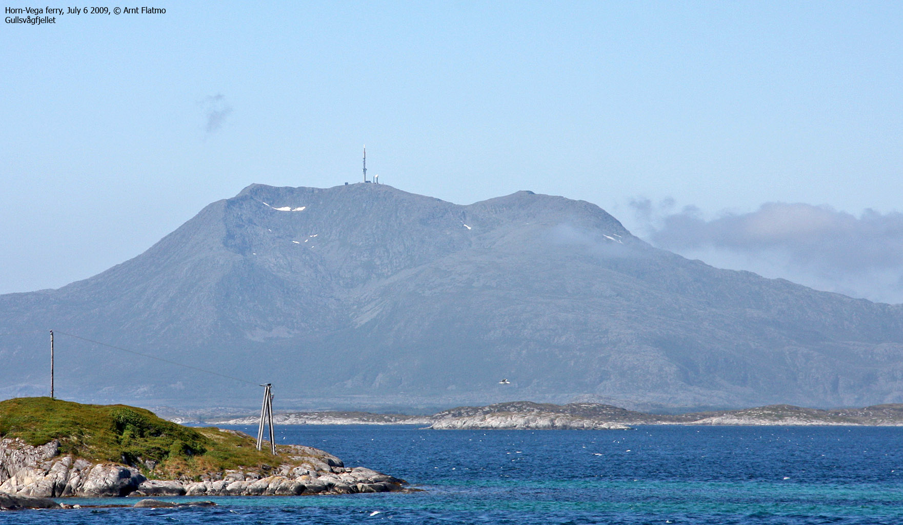
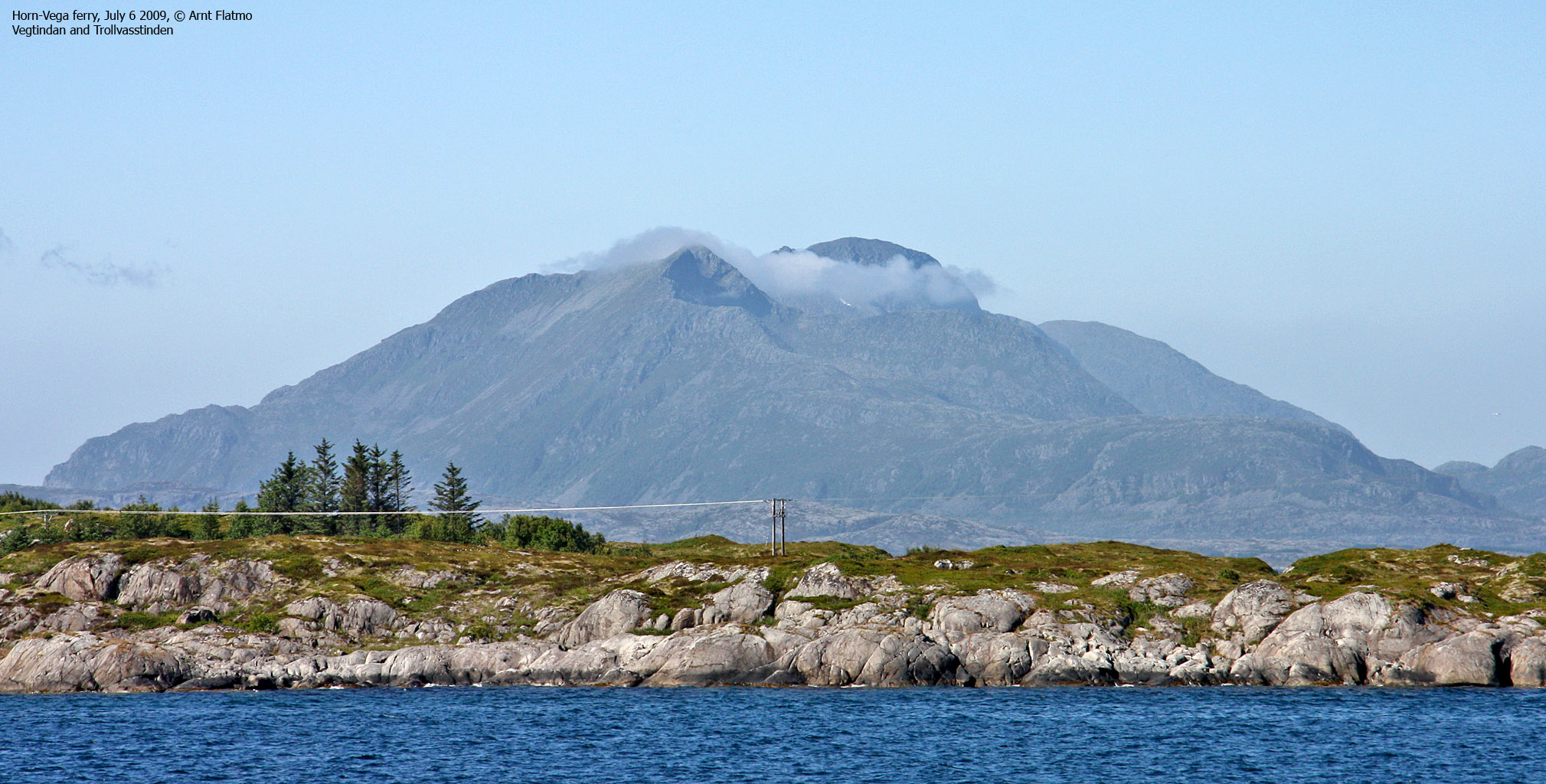
After an enjoyable walk up and down Skutfjellet, and then some more waiting, the ferry finally arrived and we got onboard. The weather was gorgeous, and the only place to be was on deck. The ferry called at Ylvingen island - presently extremely popular due to the Himmelblå (external link) drama series on NRK TV. Approaching Vega, we saw that fog began to cling to Trollvasstinden, but Gullsvågfjellet was still in the clear.
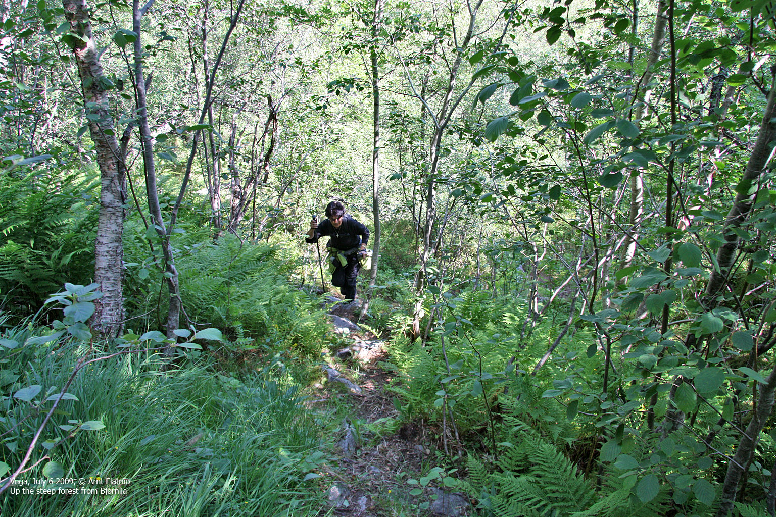
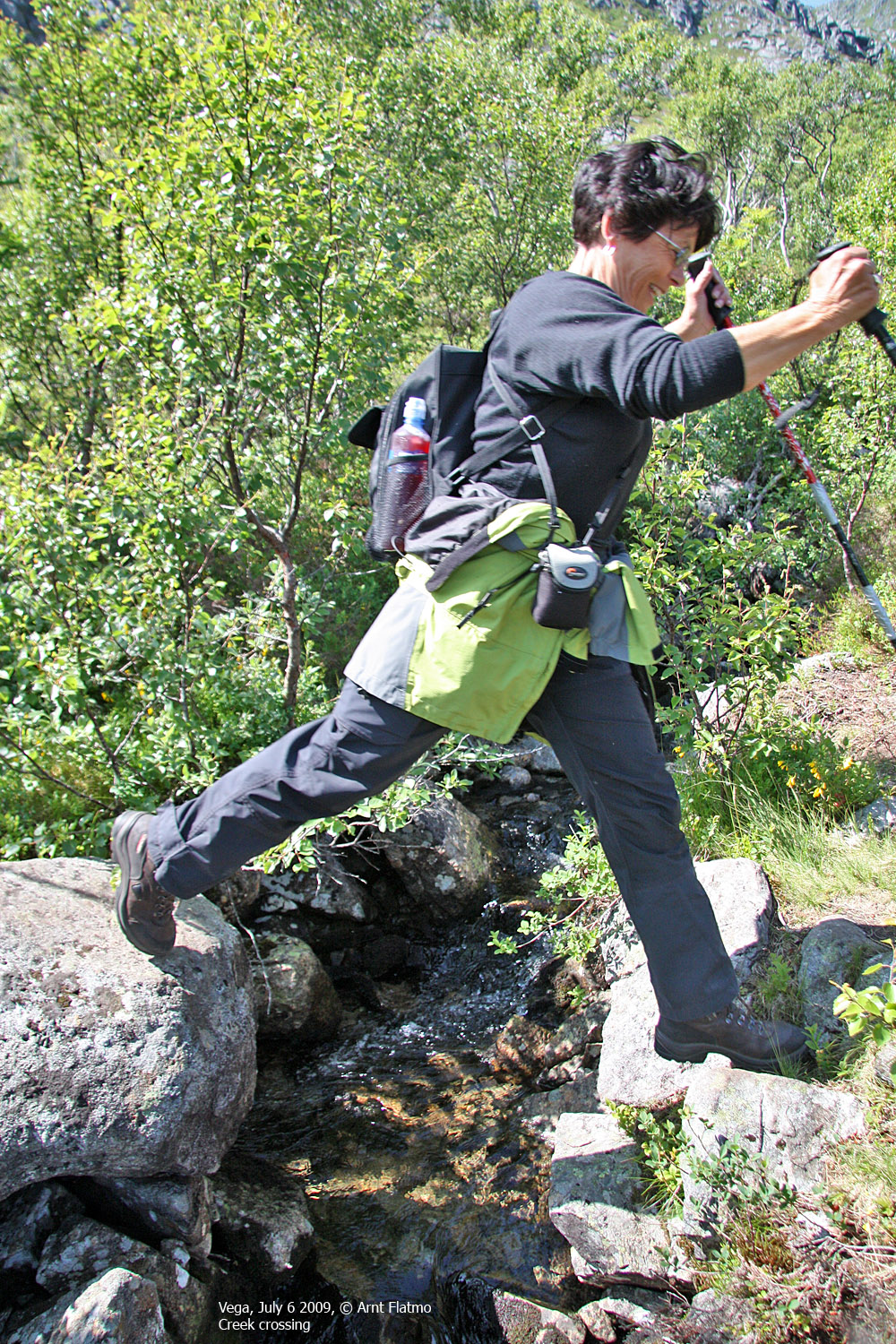
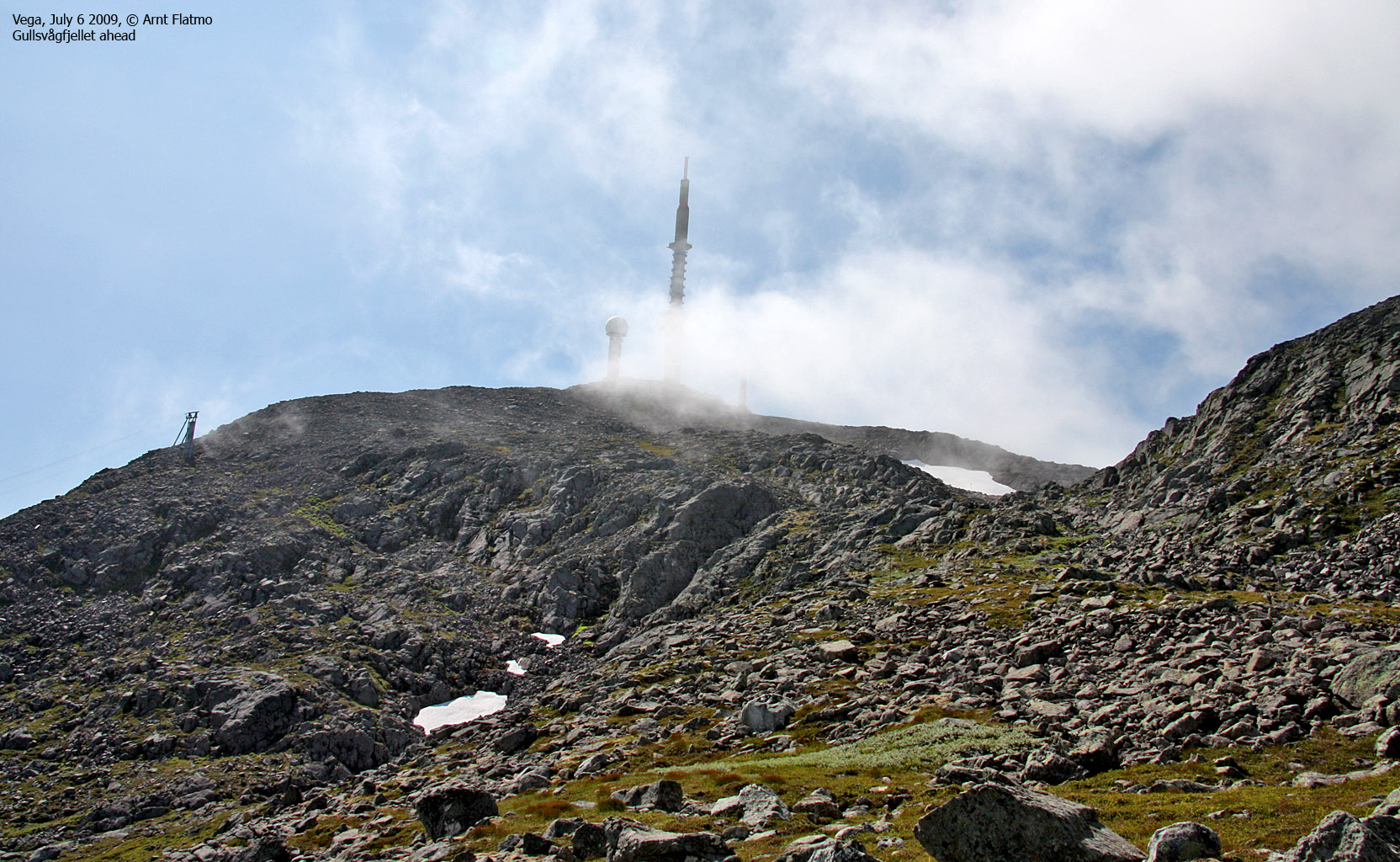
The GPS led us straight to the Bjørnlia trailhead, and by 12:54pm, we were on our way up the mountain. It was still the peak season for flies, but we managed to ignore them. The fog was now seriously trying to get a solid grip on Gullsvågfjellet, which was a big shame - given the splendid weather all around.
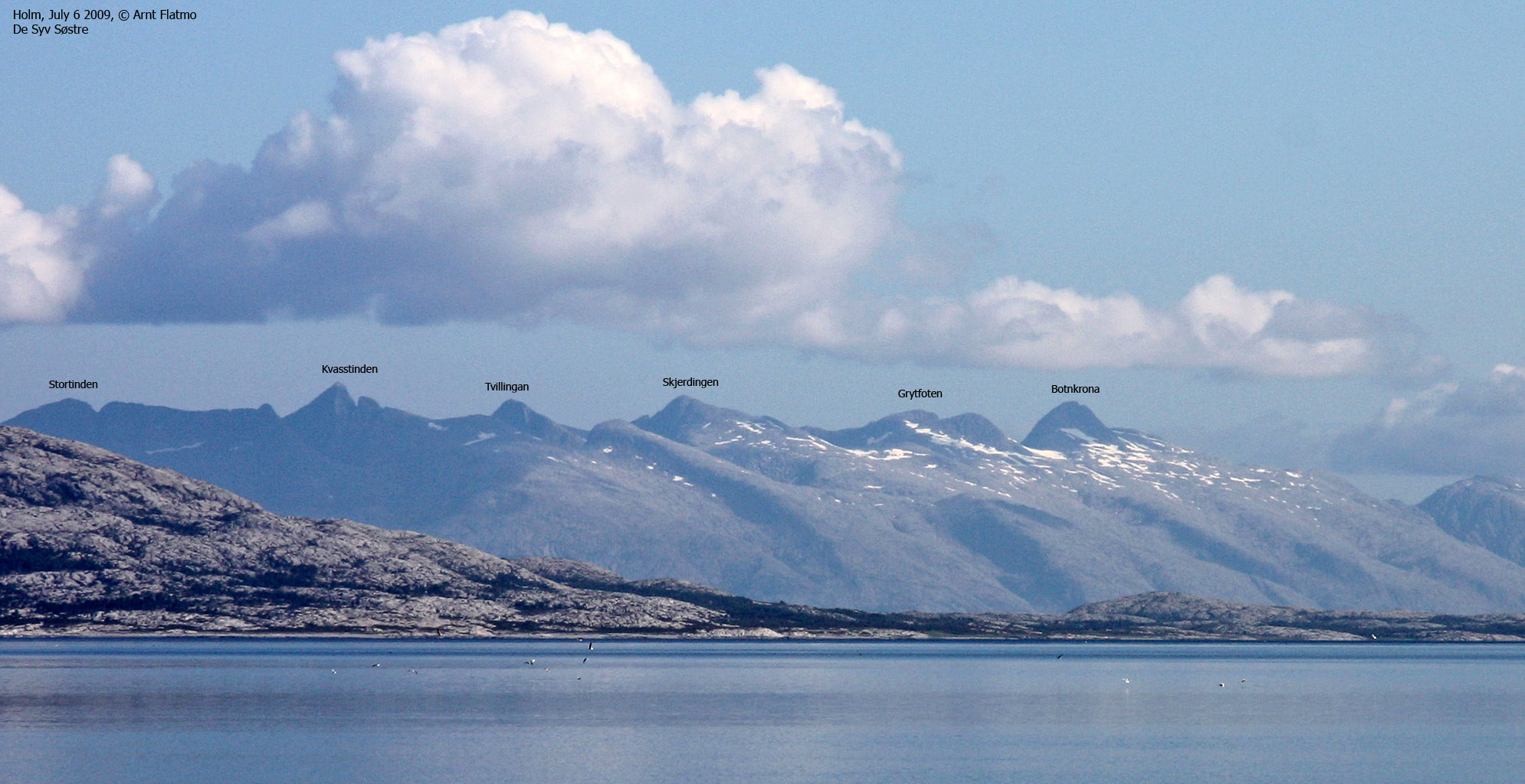
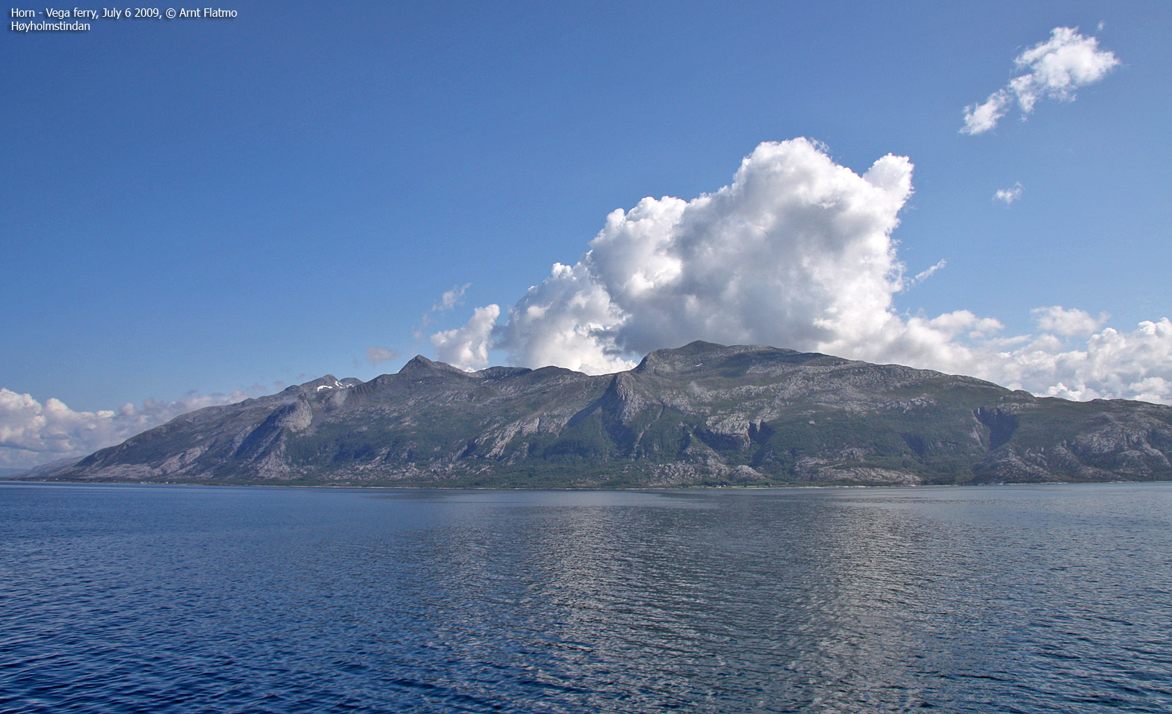
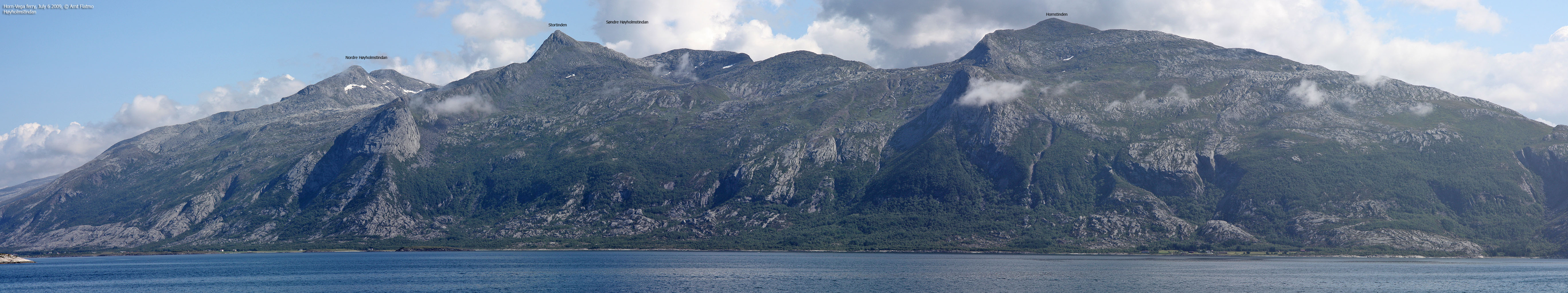
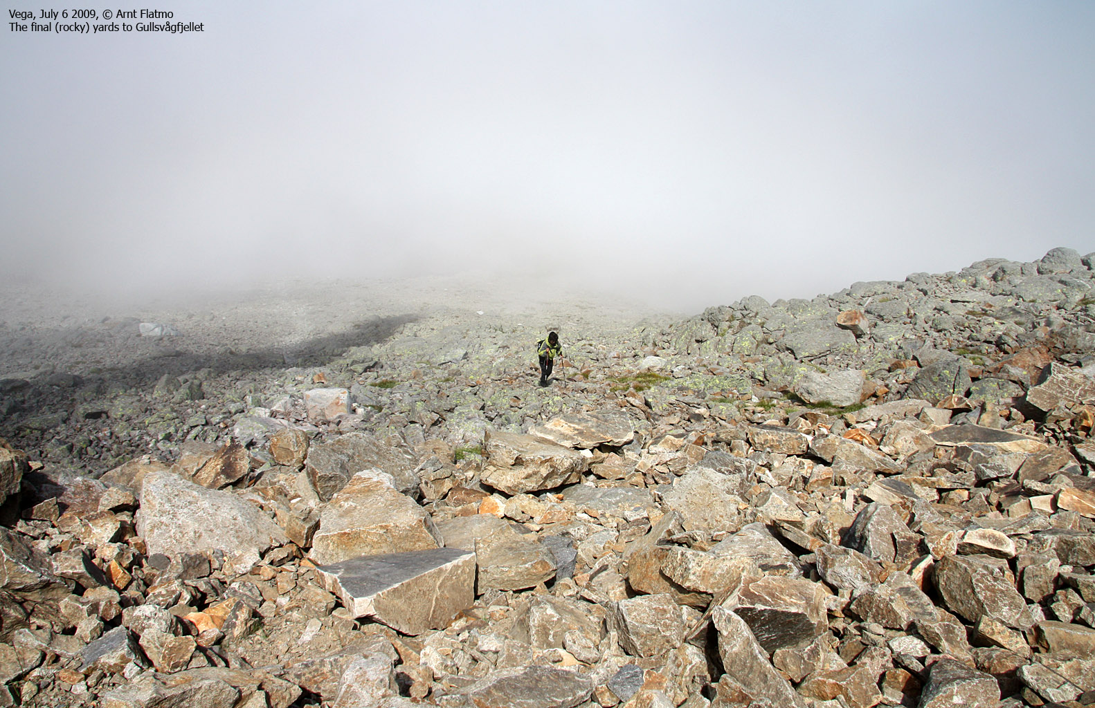
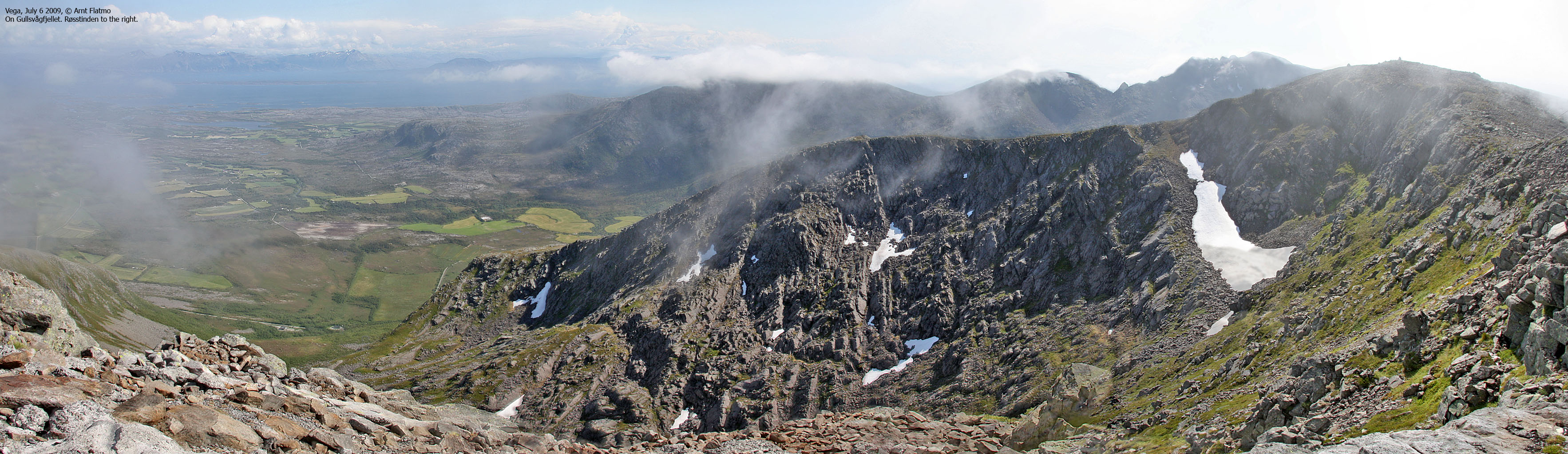
1h:20m after leaving the trailhead, we arrived on Gullsvågfjellet. The fog came and went. Every now and then we got a glimpse of the Høyholmstindan peaks to the east, and all in all, it could have been much worse. At least we could see something.

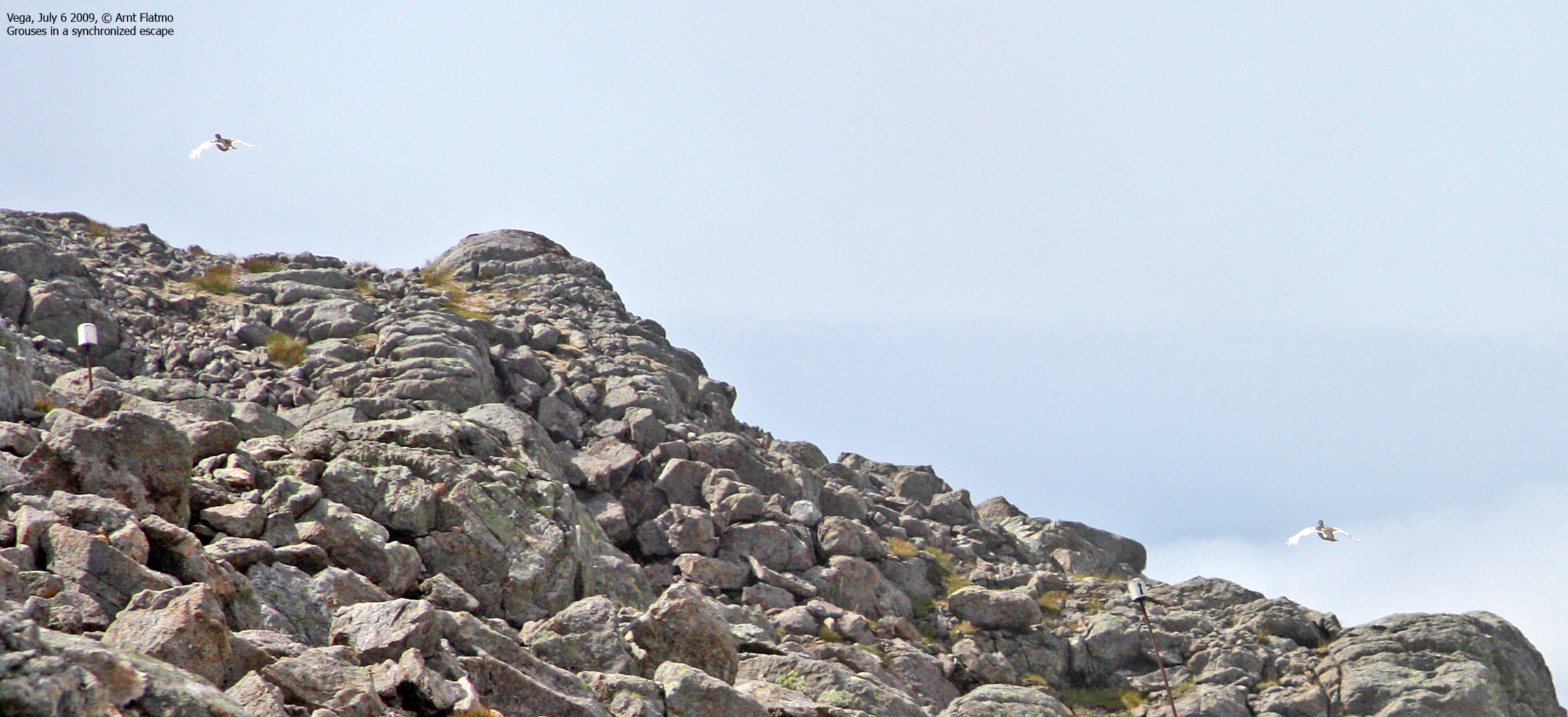
On Gullsvågfjellet
(Click for larger image)
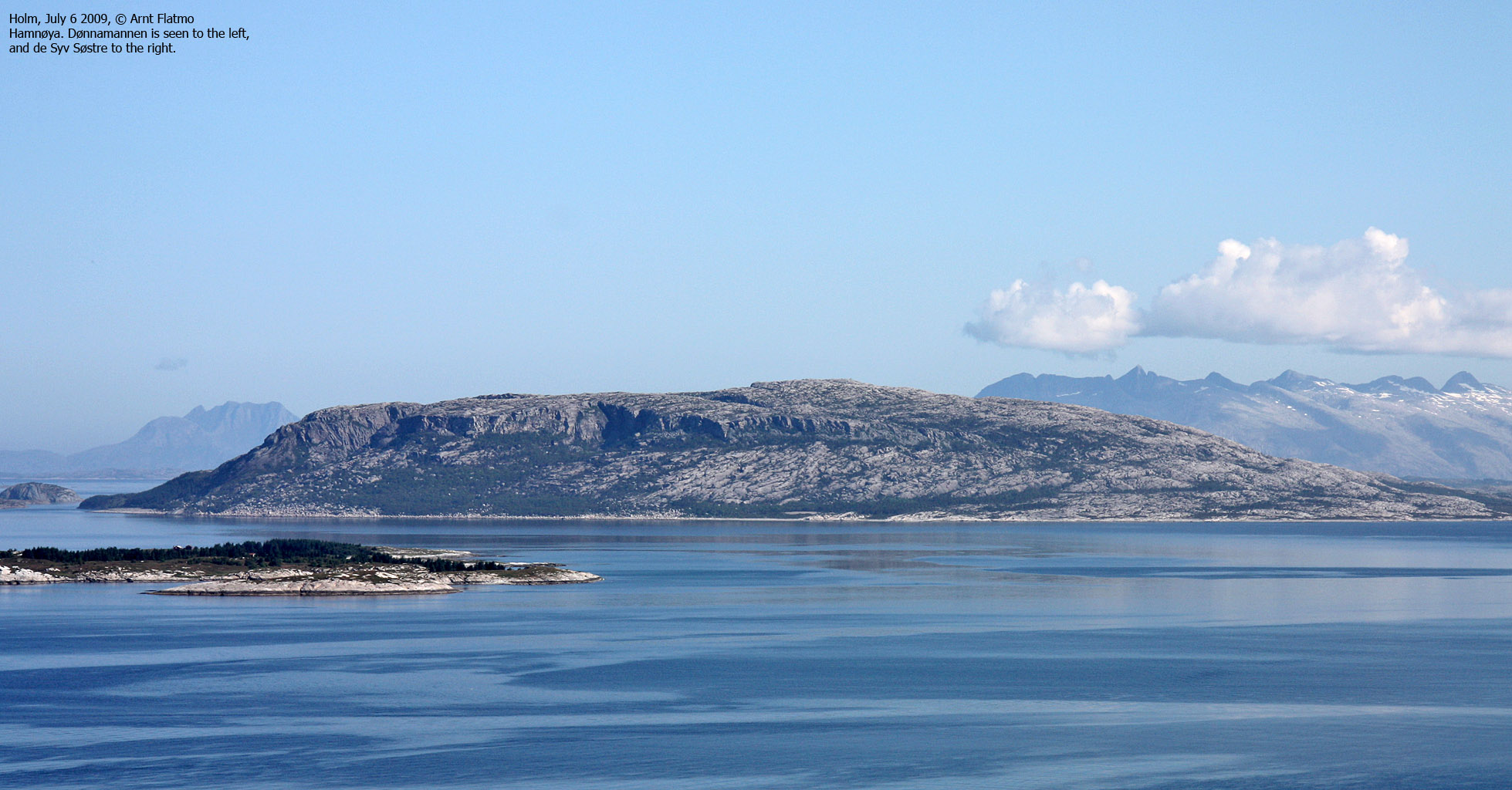
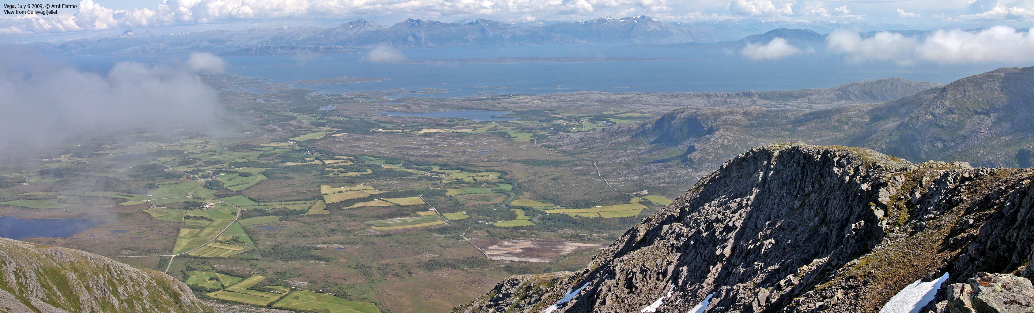
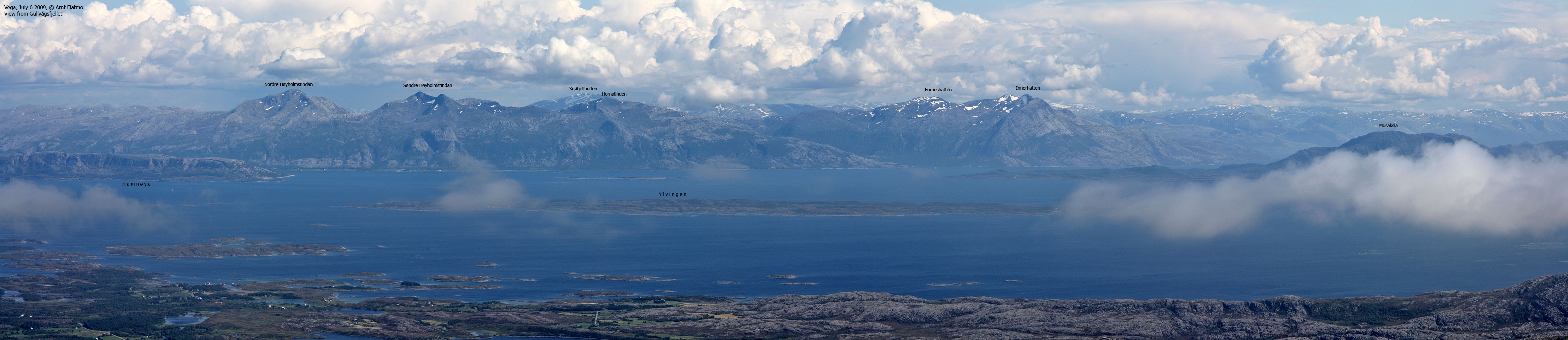
We still hadn't reached the high point on this mountain, and continued southwest 400m until we stood next to the Røsstinden cairn. The time was now 2:23pm. The views towards Trollvasstinden and Gladstad were fairly good, but the rest of the island was hidden in fog. And once in a while, there was a glimpse of Søla island - a place I'd very much like to visit.
Mom didn't know, but I had a "schedule" set up even before we headed out. I didn't want to spend the entire afternoon waiting for a ferry from Vega, so we turned around after a 10-minute stay on Røsstinden. There was no big point in staying anyway - the fog would surely not leave until late in the afternoon.

View from Røsstinden
(Click for larger image)
On the way down, we passed a woman and 4 youngsters. Two of them were 6 years old, and we were quite impressed by these kids. While mom and I had taken a short-cut to the top, they had followed the markers, and that is why we didn't see them on the way up.
We were back at the car 3:30pm, in due time for the next ferry - which arrived according to the new summer schedule. All in all - and despite the hours of waiting, it was a brilliant trip to a fantastic island. And - I suppose I'll be back in a decade (or so) for the remaining Vega tops...
Next report: Hardangsfjellet


