
Ustetind, 1376mMountain area: Hardangervidda Map: 1516 III Hallingskarvet (Statens Kartverk, Norge 1:50 000) Map: Turkart Geilo (Statens Kartverk, 1:50 000) Primary Factor: 178m See also: Petter's Ustetind page |
 Ustetind seen from
|
Access:
There are many ways to access this mountain. I will describe the winter route from
Ustaoset on highway 7 between Eidfjord and Geilo. Park the car somewhere on Ustaoset.
The trail: (click on the image for a larger view)
|
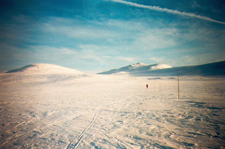
The winter trail I followed started from Ustaoset, and runs towards south across lake Ustevatn. I had a steep approach up through Verpestølan. On the plateau I met the trail junction that lead south to the Tuva Seter hut. I followed the east trail which lead to the Ustetind summit, and the Ustetindhytta hut. The hut was almost covered in snow. From the summit, I followed the ski trail eastwards which finally lead me to Vestlia alpine center in Geilo. Total time up: 2-3 hours. There is a summer route, which I haven't walked, that begins by the train station (see the map for the trail). The trail passes by Ustebergstølen and leads directly to the top. |

|
Notes:
From Tuva hut, summer and winter trails lead in all directions. On summer trails,
further south, you can reach summits as Store Grønenutan (1384m),
Bjørdalshøgdin (1251m), and Bjørdalsnutan (1383m)
Pictures: (move cursor to read notes, and click on the images to see full version)
Other trail descriptions for this region:
 Other hordaland mountains
Other Norwegian mountains
westcoastpeaks.com
Other hordaland mountains
Other Norwegian mountains
westcoastpeaks.com