
For Information, maps, trailhead and route descriptions, click HERE.
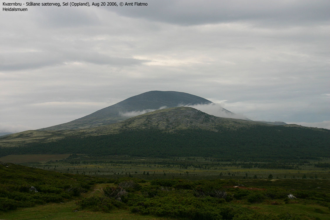
After visiting Heidalsmuen earlier in the day, Arne and I broke up the camp and headed northbound, looking for a place to put up the next camp. I didn't fancy camping below the tree-line. Too many ticks in the forest. So we agreed to drive up the Stålane - Kværnbru road and look for a campsite. We took the wrong road and ended up in a cabin village. After asking a local, we found the correct road, and drove it all the way to the Steinhø foothills - the highest point on this road, approx. 1090m.
Steinhø & Storhøi
We found an excellent place to camp, and once the campsite was up, I decided to visit Steinhø (1338m). The 6,5 hour traverse across Heidalsmuen earlier in the morning didn't bother me much, as I left the campsite 16:40PM. After 250 vertical meters, I was standing on top of Steinhø 17:00PM. I took some pictures, and then I decided to visit Storhøi (1349m), a 2,5Km walk further to the northwest. I descended down to the saddle (1208m) and stood on top of Storhøi 17:30PM. I spent 10 minutes taking pictures, and left Storhøi 17:40PM. I ran back up to Steinhø, passed the summit 18:00PM and was back at the campsite 18:10PM.
Arne was sleeping outside the tent. My dog "Troll" was laying next to him, and they both looked a bit tired. I had earned beer and cooked myself some dinner. Arne was neither hungry nor thirsty. I found that a bit odd, but heck, more beer for me.
Stålhø
I woke up early the next morning. AGAIN! I decided to go for a morning walk, and left the tent 05:10AM (!) I decided to visit the third of the local tops - Stålhø, 1231m. I had to descend to a cabin village (1030m) before I got on the path to the top. 05:45AM, I was standing on the top. The plan was to descend down to Lake Ståltjønne, but I couldn't allow myself to step on the nice moss that covered the mountain side. I returned my ascent route and was back at the tent 06:20AM. After breakfast, approx. 08:30AM, we broke camp and headed towards Otta, where I dropped Arne off at the train station. On the way back to Ålesund, I wanted to go for an afternoon hike, and chose Kvitfjellet, 13Km northwest of Åndalsnes. Trip report coming up ...
Steinhø, Aug 19


Storhøi, Aug 19


Stålhø, Aug 20


No Javascript:
1 2 3 4 5 6 7 8 9 10 11 12 13 14 15 16 17 18 19 20
 westcoastpeaks.com
Other Oppland mountains
Other Norwegian mountains
westcoastpeaks.com
Other Oppland mountains
Other Norwegian mountains