
Norwegian Mountains, Møre og RomsdalStore Krokhornet, 654m (Storekrokhornet)
|
| Fylke/Kommune : | Møre og Romsdal/Vanylven | ||||||||
| Maps : | 1119-III Vanylven (Statens Kartverk, Norge 1:50 000) | ||||||||
| Primary factor : |
Store Krokhornet: 146m Krokhornet: 68m |
||||||||
| Hiked : | Feb 2009 | ||||||||
| See also : |
| ||||||||
| See also : | Other Vanylven mountains |

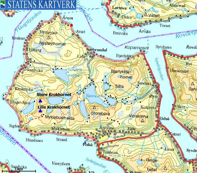
Krokhornet & Store Krokhornet
(Click for larger image)
Store Krokhornet is the 4th highest of the independent tops on the peninsula north of Syvdseidet. The mountain is normally approached from the south, with Sighaug or Hundsnes as starting points. This page will describe the route from Sighaug. This route is marked all the way to Sighaugvatnet (455m). The rest of the route goes via easy terrain.
The maps cause some naming confusion for those who are not local to the area. The map "Turkart Vanylven" state that the three tops surrounding Brudevikvatnet are; Store Krokhornet (654m), Krokhornet (613m) and Litle-Krokhornet (422m). Norgesglasset list the following tops; Store Krokhornet (654m), Litle (613m), I (or l)Krokhornet (422m). Økonomisk Kartverk lists: Store Krokhorn (653,57m), Høgetua (616m), Litlekrokhornet (561,5m) - an insignificant hump 350m south of Store Krokhornet, and finally, Litlekrokhornet (416m) - halfway between Høgenakken and L/I Krokhornet (422m).
Thanks to Ove Myrvoll (Syvde), things have become a bit clearer. Both the 613/616m top and the 422m top has been known as Litlekrokhornet. The reason is that people in various places have seen different tops, both smaller than Storekrokhornet, and named the Litlekrokhornet. For this to make sense for English readers; Store means the larger while Litle/Lille means the smaller. Over time, people has agreed to call the 613/616 top just Krokhornet, which means that the Turkart Vanylven map has the correct data.

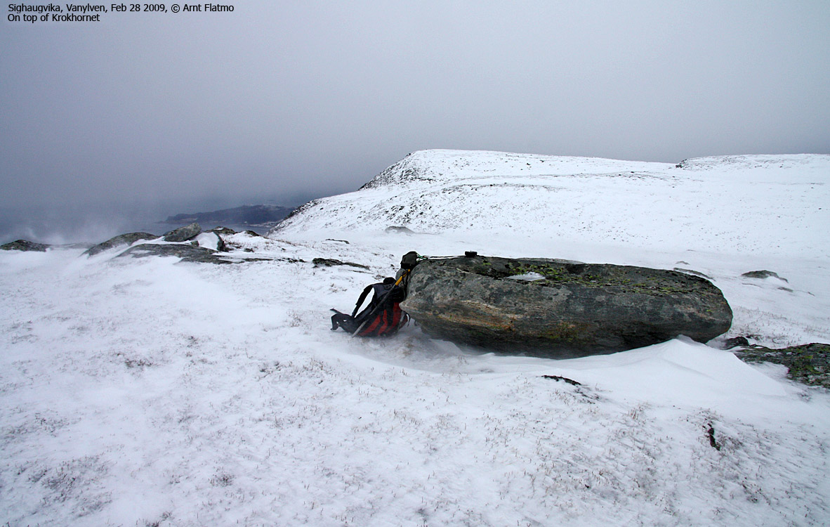
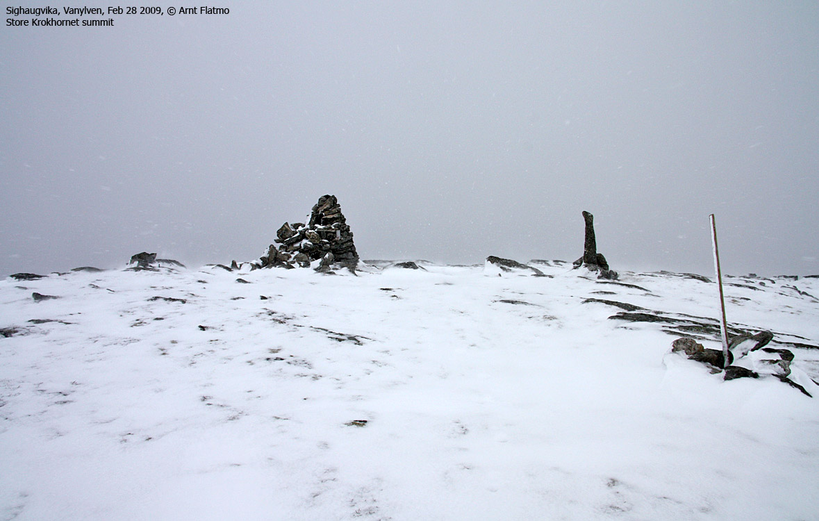
Store Krokhornet
(Click for larger image)
Store Krokhornet (Norge 1:50,000: 654m, Økonomisk Kartverk: 653,57m, UTM 32 V 315930 6893443) has a primary factor of 146m towards the higher parent Storehornet (686m). The defining saddle (approx. UTM 32 V 316269 6892031) is found between Krokhornet 613/616m and Tinden (Rindekollen [ØK]). Ref. Økonomisk Kartverk (5m contours), the saddle is within the range 505-510m, interpolated to 508m.
GPS measurement read 659m (on the summit cairn, 1,5m-2m high), averaged over a 5-minute period (error margin 3-4m).
Krokhornet (Norge 1:50,000: 613m, Økonomisk Kartverk: 616m, UTM 32 V 316060 6892546) has a primary factor of 68m towards the higher parent Store Krokhornet (654m). The defining saddle (approx. UTM 32 V 316186 6892892) is found between these two tops, and is, ref. Økonomisk Kartverk (5m contours), the saddle is within the range 545-550m, interpolated to 548m.
GPS measurement read 616m (on the ground), averaged over a 2-minute period (error margin 3-4m).
Google's interactive map. You can zoom, pan and click on the markers.
|
|
|
|
Route 1: Sighaug - Store Krokhornet (summer/autumn)
|
|
Access
(all distances are approx. distances)
The nearest larger city is Ålesund. From Ålesund, follow highway E39 towards Bergen, and then RV61 towards Hareid. Take the Sulesund - Hareid ferry, and from Hareid, follow RV61 (roughly) 38Km to Larsnes.
Take the Larsnes - Åram ferry, and at Åram turn right and drive 14,5km. You'll see the Vanylven Stam & Settefisk sign (per Mar. 2009) pointing to the right. Turn left here, and drive 100m up the road. Find parking just before the creek.
An alternative route is to continue from Larsnes to Årvik (5,1km), take the Årvik - Koparnes ferry. From Koparnes, follow highway RV61 to Fiskå. From Fiskå (Hareid/Måløy junction), follow the road westbound 6,4km to the Sighaug trailhead
The route
Follow the path along the creek. At approx. 120m elevation, you join a wider path coming from the east. Follow this path westbound towards the Høgebruna ridge, and then follow the ridge towards Lake Sighaugvatnet. From the lake, you can head towards Krokhornet on either side of the lake. From Krokhornet, head northeast 200m until you reach a place where it's safe to descend to the pass between Krokhornet and Store Krokhornet. Continue north/northwest to the summit of Store Krokhornet, marked by a proper cairn.
 westcoastpeaks.com
Other Møre & Romsdal mountains
Other Norwegian mountains
westcoastpeaks.com
Other Møre & Romsdal mountains
Other Norwegian mountains


