
Norwegian Mountains, Nordland
Borkamo - Sausvatnet via S. Snøfjellet & Aunfjellet,
Aug 24 2005
To the main N. & S. Snøfjellet page (maps, route descriptions, other trip reports, etc.)

Nordre & Søre Snøfjellet
(Click for larger image)
To S. Snøfjellet
Ever since I was a little boy, I've listened with fascination to the grown-ups talking about their walks from Tosbotn to Sausvatn (or the other way around). To me, it seemed like an "impossible task" at the time. The driving distance (along the road..) was only 25Km, but this also seemed like an incredible distance. The years went by and I didn't think more about it. Until this summer, when I took a closer look at the map and discovered that the distance wasn't any longer than a typical weekend hike that I do back home.
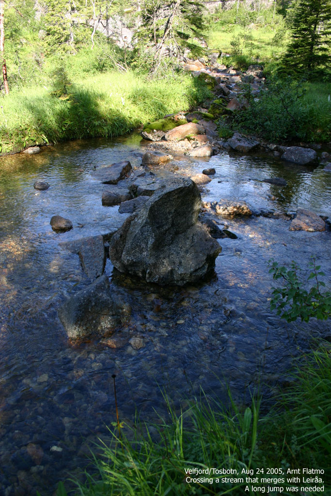
My mom drove me to the Borkamo trailhead and I was on my way 9:15am. I think she was a bit concerned - probably having the same respect for the trip that I used to have. But now that I knew the distance and the vertical gain, I explained it was "business as usual" and shouldn't take more than 5 hours. The hike up to Lake Leiråvatnet went smooth. The first part went along a forest road, and then along a vague forest path which included a river/stream crossing.
According to my map, the drain from Lake Leiråvatnet did a sudden halt just after the lake before it resumed further down. I could only assume that the drain went underground, but it didn't. When I reached the lake, I could see that the lake drained into the river over a concrete dam. There didn't seem to be much water above the concrete, but I was worried about the current. I considered walking around the lake, but ended up with giving it a try. I took the boots off and headed across the dam. The current was noticeable, indeed, but caused no problems.

Crossing Leiråa/Leiråvatnet
(Click for larger image)
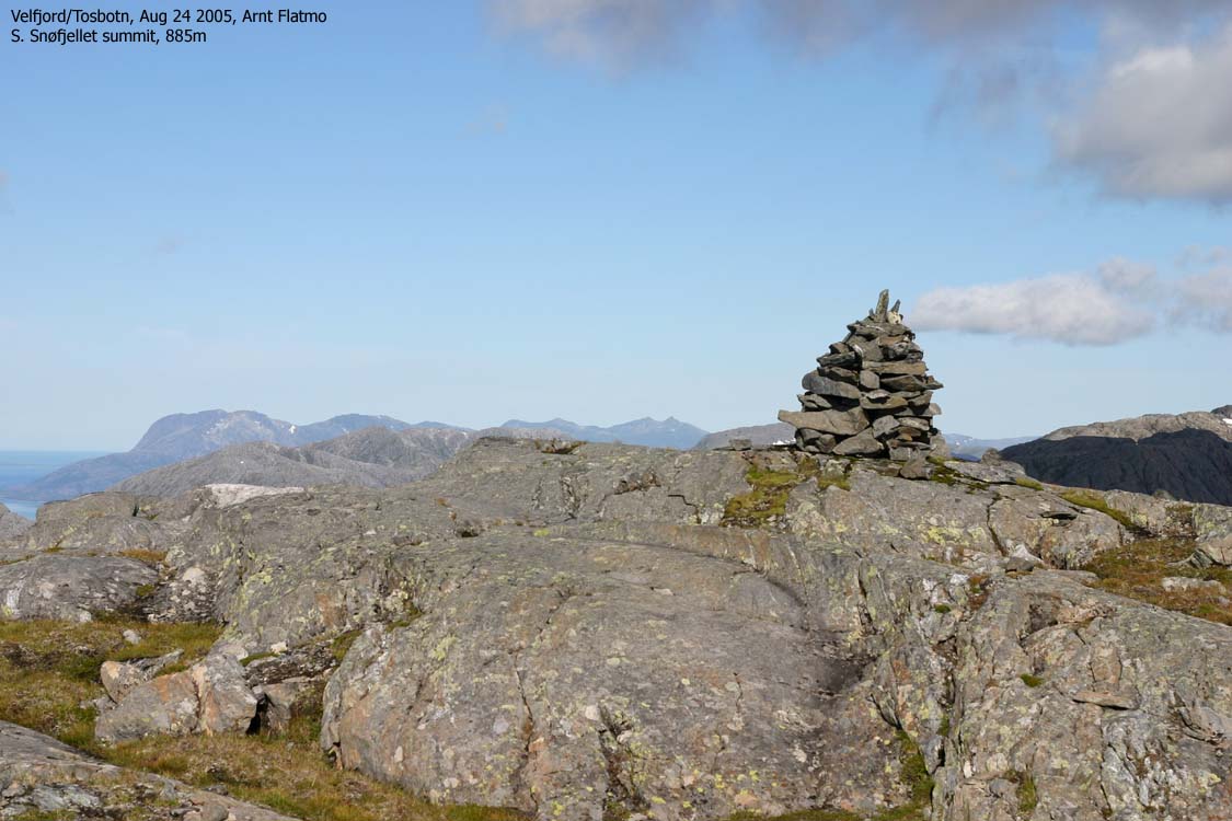
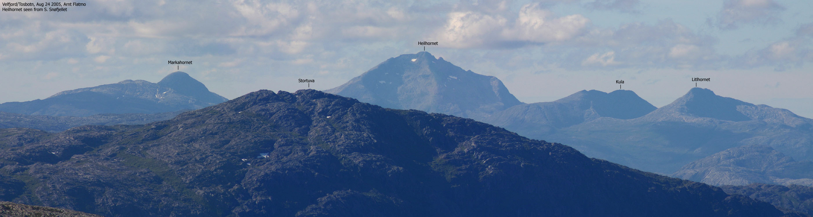
Now I could proceed towards S. Snøfjellet and crossed one more stream/river before I took on the ascent. The hike up to the summit went fairly smooth. An eagle circled above me and kept me company. Some slabs and small cliffs forced me to look around for the best route, but nothing difficult. I reached the summit 11:35am and enjoyed a tremendous view. Just north of the summit cairn was a point (on the other side of a small lake) that I thought was higher. Once there, I wasn't all that sure anymore and moved back to the summit cairn and had lunch.
Descent via Aunfjellet and Aune
I continued towards Aunfjellet and came across a flock of reindeer coming up from the south. The wind came from the north, and they didn't notice me at first. It was great to sit back and watch these animals, halfway between Sausvatn and Tosbotn. After a while, I think they must sensed my presence, because they suddenly accelerated and disappeared.

Reindeer
(Click for larger image)
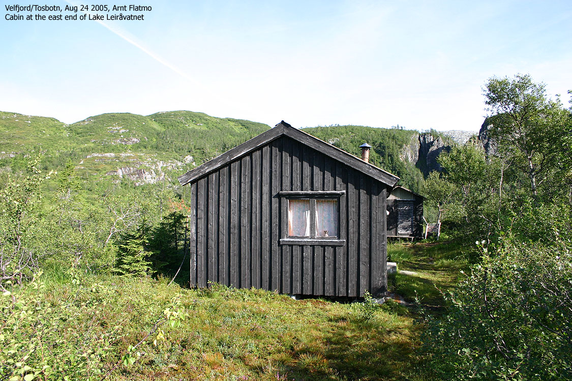
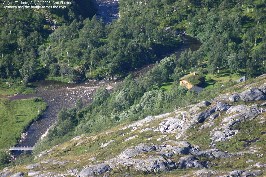
I reached Aunfjellet summit 1pm sharp and had a clear view of my descent route towards Sausvatn. I noticed the Aune cabin, and had a look through the zoom lens. Friends of the family owned this cabin, but I had never been there. It felt strange to watch it through a camera. I wondered if our friends were at the cabin, but as it was in the middle of week - probably not. I picked the wrong route on my way down Aunfjellet and got a much steeper descent than strictly necessary. And once down by the drain from Lake Toshølvatnet, I wondered where people normally cross the river. I found some rocks that provided a way across, and concluded that some would have wished there was a bridge here.
I was fortunate to find the vague path that took me down to Dyrmoen and the forest road. I heard sounds up the road and went up to see who it was. It turned out to be our friends at the Aune cabin. We hadn't seen each other for many years, and I was invited up to their cabin for coffee. It was altogether a pleasant encounter. Knowing that I wouldn't be driving a car, I gladly accepted a cold beer (Dahls Bryggeri - cooled in the local stream).
When my visit had come to an end, and perhaps with a lighter spirit than usual, I continued down the forest road. One hour later, I and was treated with an excellent dinner back home. A marvellous day in the mountains was over. Not very hard, not very steep, not very long and not very challenging, but it was a childhood dream that had come true.


