
Norwegian Mountains, Sogn og Fjordane
Håfjellet (202m), Sperrefjellet (155m) on Ytre Sula - June 26 2011
To the main Solund page (maps, route descriptions, other trip reports, etc.)

Ytre Sula
(Click for larger image)
Day 3
It was day 3 in Solund. On day 1 and day 2, Anne and me had hiked 10 coastal tops and seen a lot of the Solund region. There was still a lot more that we wanted to see, but there just wasn't enough time. Day 3 was allocated to visit Ytre Sula and to hike the two distinct tops on the island. After checking out of the Internatet motel, we stopped in Hardbakke to take a look at Kystarboretet. It was perhaps not the most exciting thing we've ever done, but at least we've been there. Then we drove to Daløy and waited for the ferry that would take us over to the other side.
While waiting, Anne decided to fish from the pier. The result was poor. The southbound Coastal Express passed in the sound and the ferry arrived shortly after. There was only room for 8-10 cars (or so) but traffic is in general quite light in this area. And we didn't have to pay! Apparently, there are two ferries in Norway which doesn't have a fare and this was one of them.

The ferry to Ytre Sula
(Click for larger image)
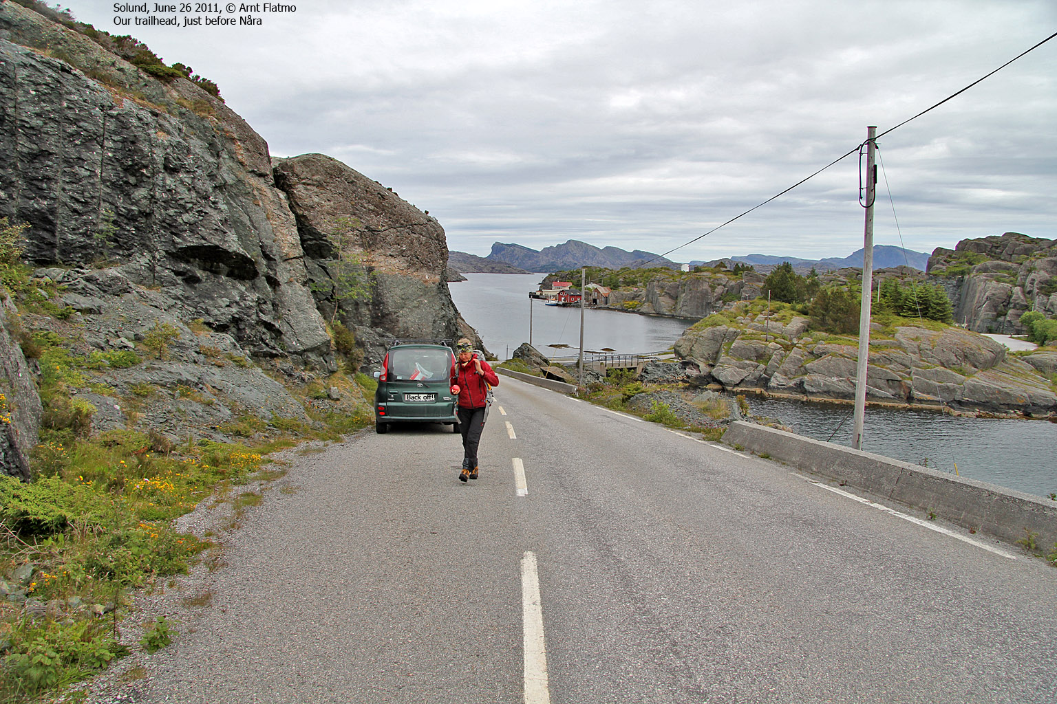
Håfjellet (202m)
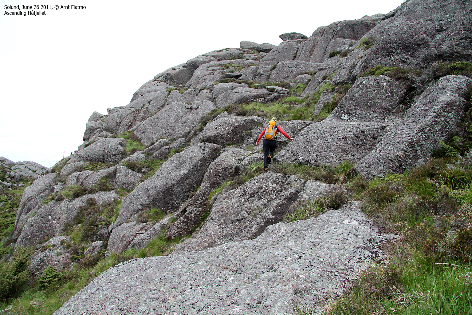
Once on Ytre Sula, we drove towards Nåra island and the Håfjellet trailhead - also described in Anne's own book Opptur Sogn og Fjordane (external link). Håfjellet is the high point on Ytre Sula and although the route is not marked, the 2,2km hike to the top is a fairly easy one.
It took us 50 minutes to reach the top of Håfjellet (12:30pm) and were rewarded with a mighty view. I recognized familiar contours to the south that just had to be the mountains surrounding Bergen. And to the west were oil rigs. I couldn't get over the fact that I could actually see them. After a short stay on top, we took the same route back to the trailhead and drove to the north side of the island to hike Sperrefjellet.

View from Håfjellet
(Click for larger image)
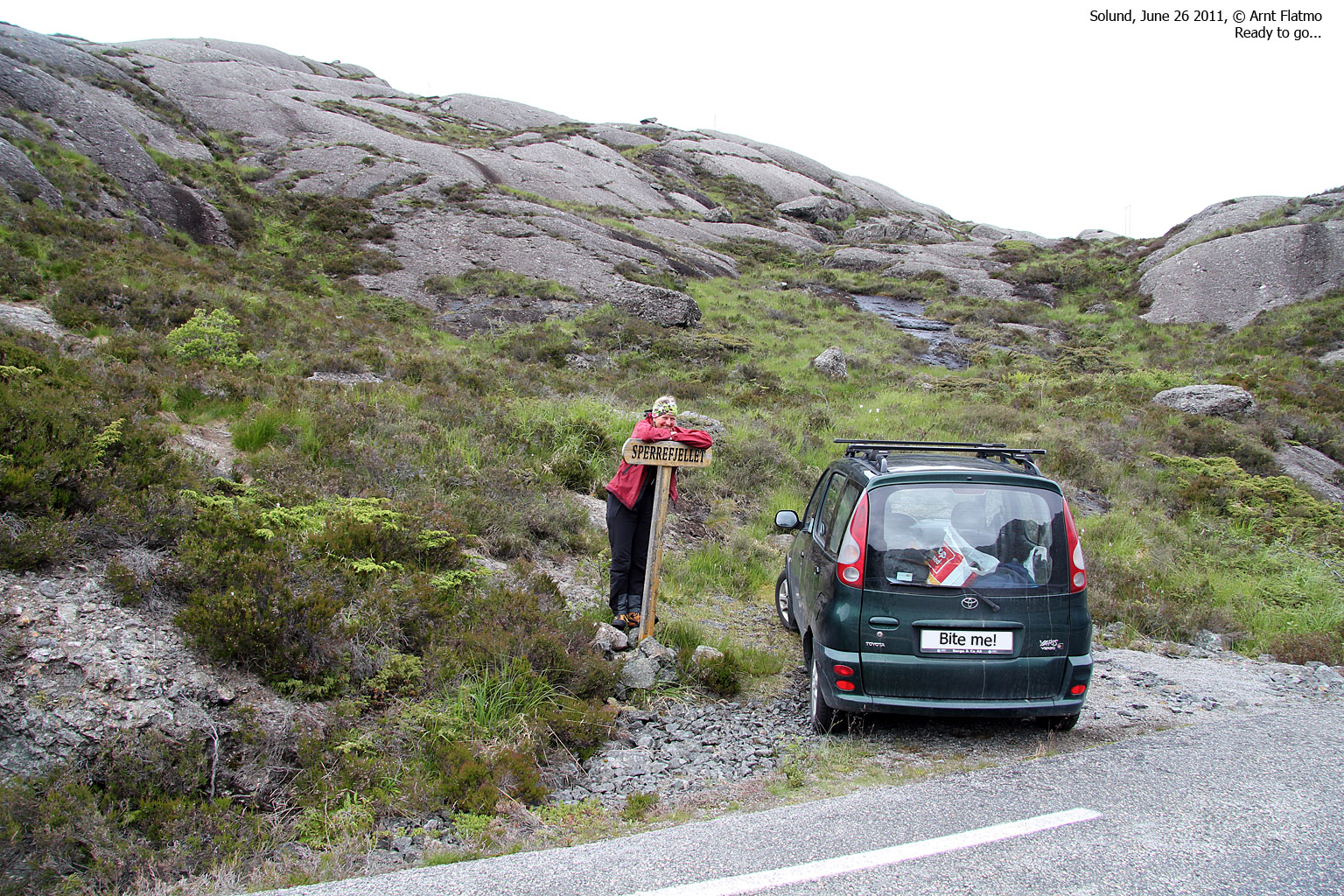
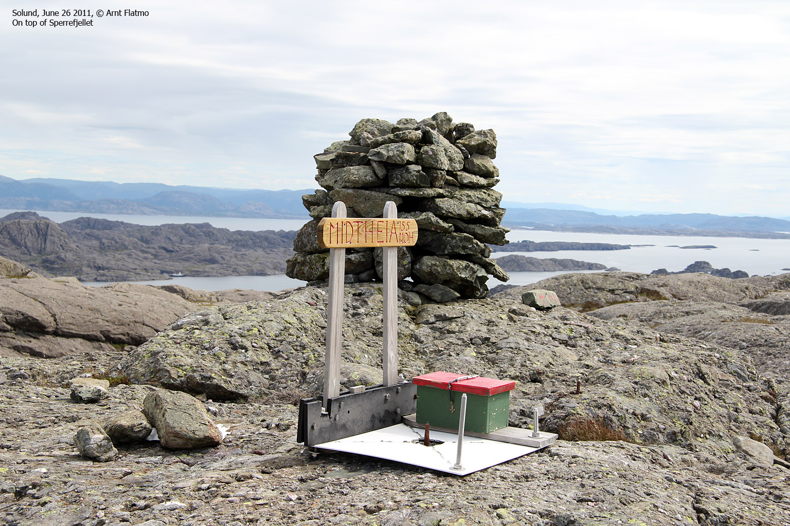
Sperrefjellet (155m)
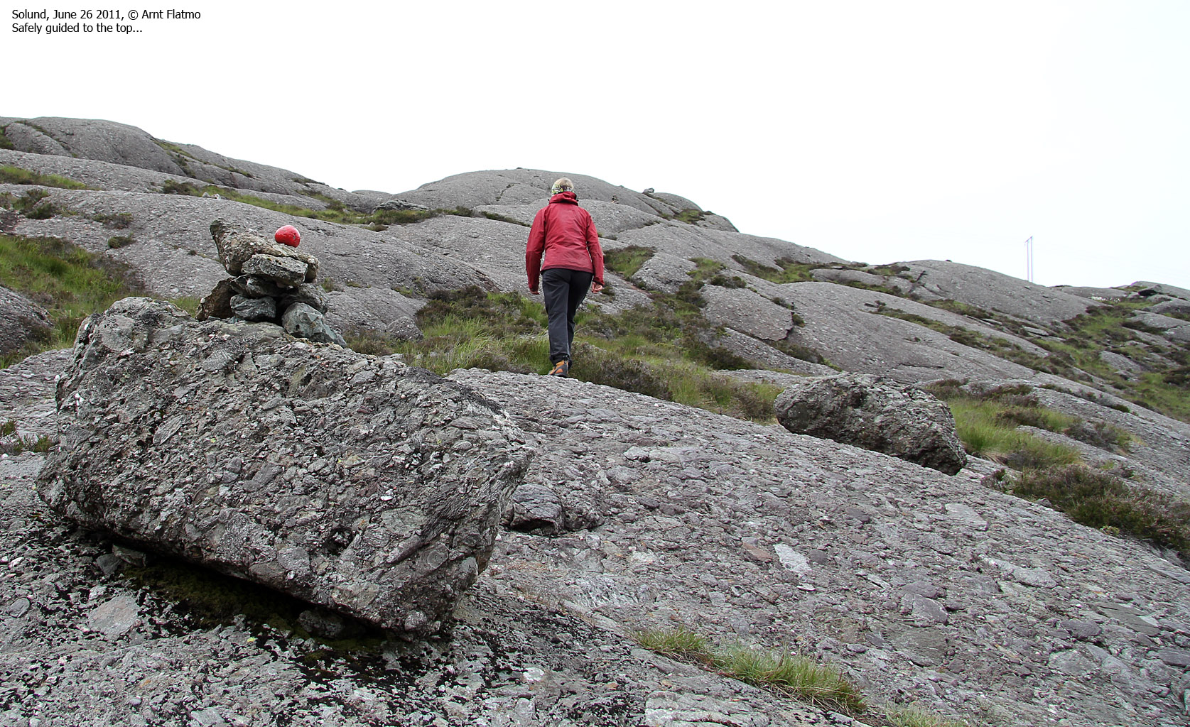
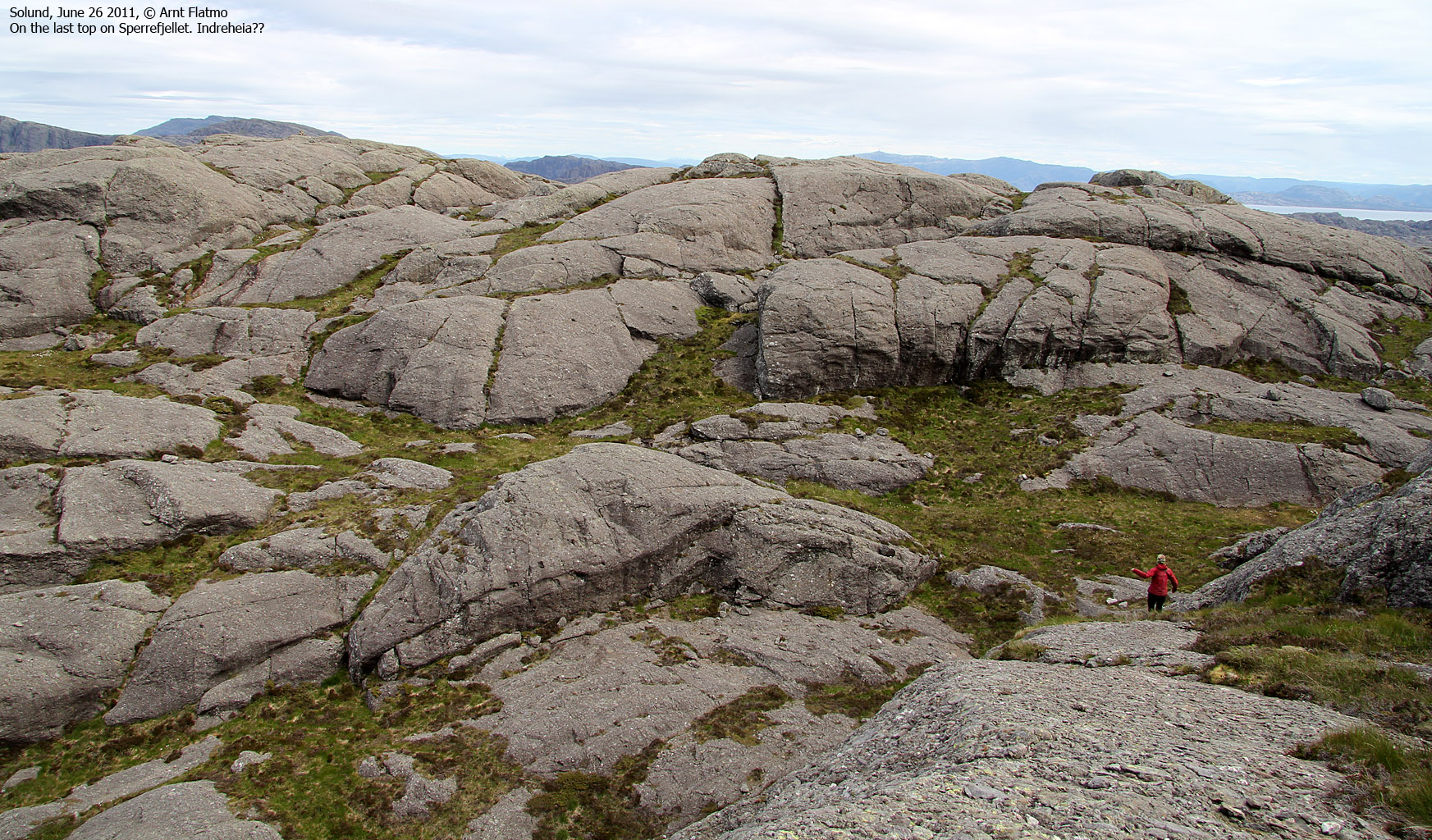
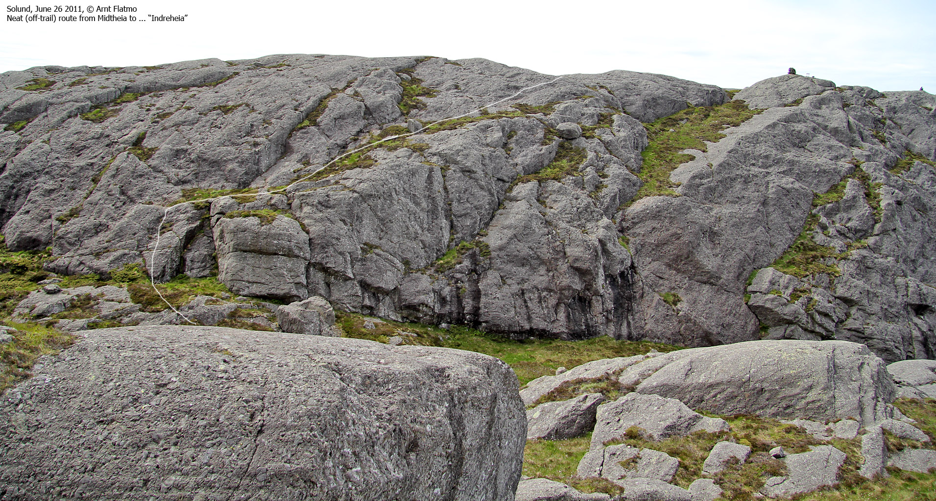
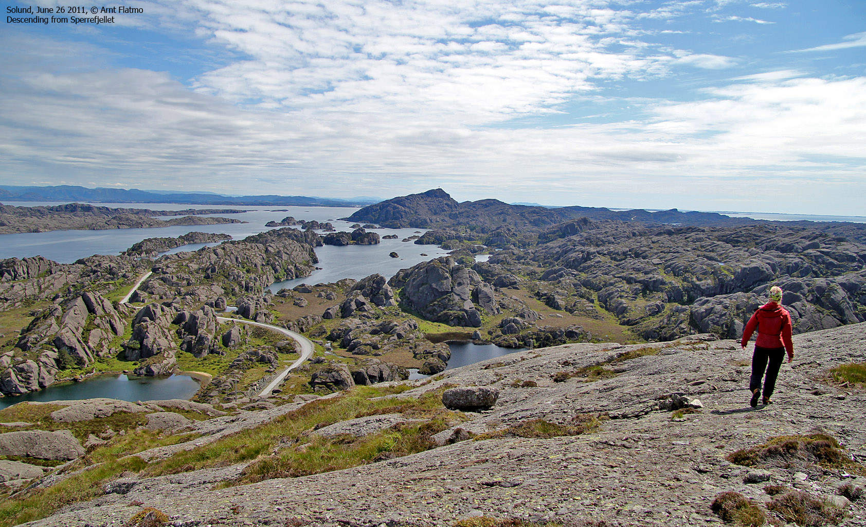
Sperrefjellet is the second highest mountain on Ytre Sula and has two named tops; Ytreheia (148m) and Midtheia (155m). A well marked path runs from Sperrevatnet and across the two tops. We headed out 1:49pm and it took us only 11 minutes to reach Ytreheia. Midtheia was reached 2:26pm and Anne expressed particular joy about the Sperrefjellet terrain. I agreed. After 3 days in Solund, I had completely fallen in love with this area and really, really hope I can return here one day. Preferably with a kayak...

A dream spot on Ytre Sula
(Click for larger image)
From Midtheia, we continued east to a third, unnamed top before descending southeast to Otretjørna and followed the road back to the car. A wonderful Solund weekend was coming to its end and we had a long trip back to our respective homes.

Utvær Fyr
(Click for larger image)
After 3 ferries (Halldorsneset - Daløy, Krakhella - Rutledal - Rysjedalsvika and Anda - Lote), I returned home to Sunnmøre well past midnight, and the drive (with the roof in the trunk) was magical from its beginning to its end...

Beautiful sky above Gloppen
(Click for larger image)
Pictures
The pictures were taken with a Canon EOS 550D + Canon EF-S 17-85mm IS USM F 4-5.6 and Canon EF 75-300mm f/4-5.6 IS USM + a Canon Powershot G12


