
Norwegian Mountains, Sogn og Fjordane
Smørhovden & Øyrafjellet, Nov 13 2010
To the main Smørhovden page (maps, route descriptions, other trip reports, etc.)

Smørhovden seen from Storehogen
(Click for larger image)
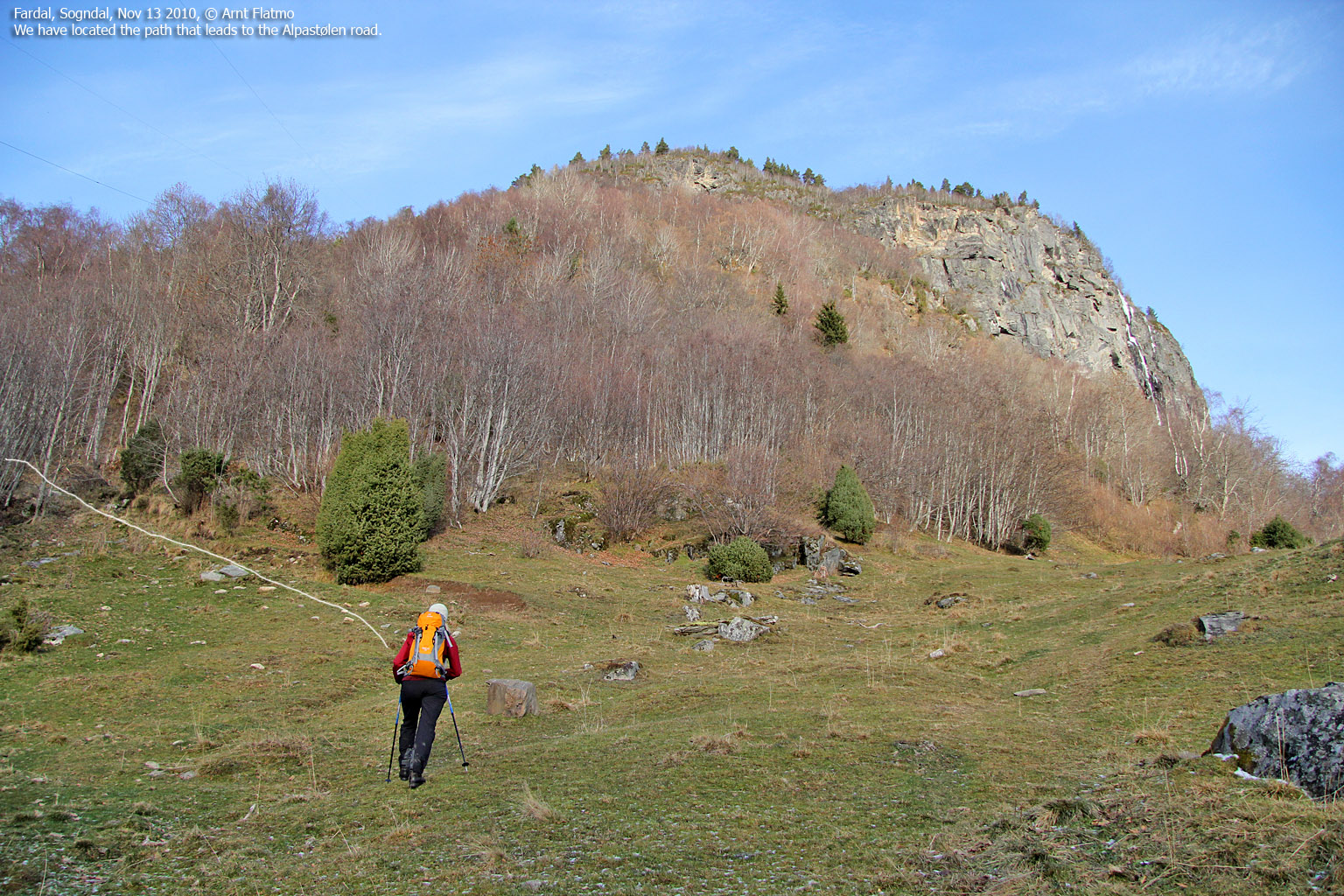
Snow had fallen in the Sogndal mountains, but I was not yet in skiing mode, so Anne and me decided to do a hike instead. I wanted to visit Smørhovden, which I had seen from Slakkafjellet a month earlier. We looked at the map and found that Skarsbø would be a good starting point. At Alpen, we stopped and talked to a local who suggested that we should start out from Alpen instead. He explained the route, and by 12:18pm, we were on our way.
Just as we were leaving the trailhead, we noticed a curious stout. I didn't see it at the time, but on one of the pictures (see further down), it seems that the stout has a rodent in its mouth. Besides this, the stout looked quite cute...

The stout
(Click for larger image)
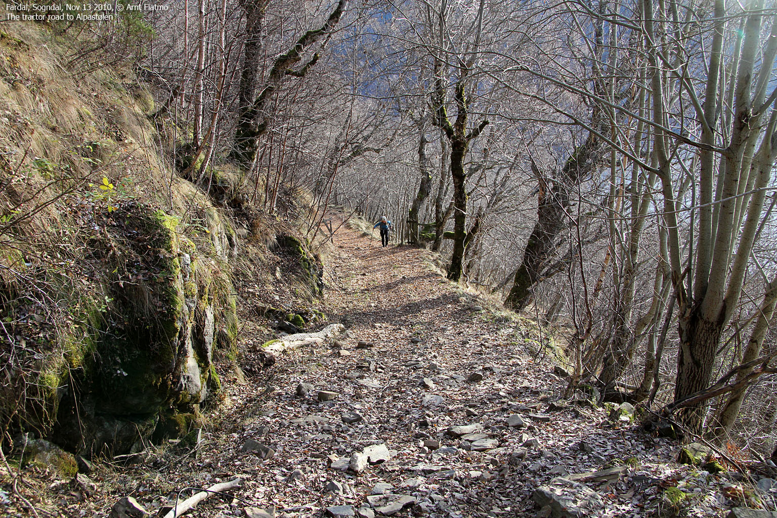
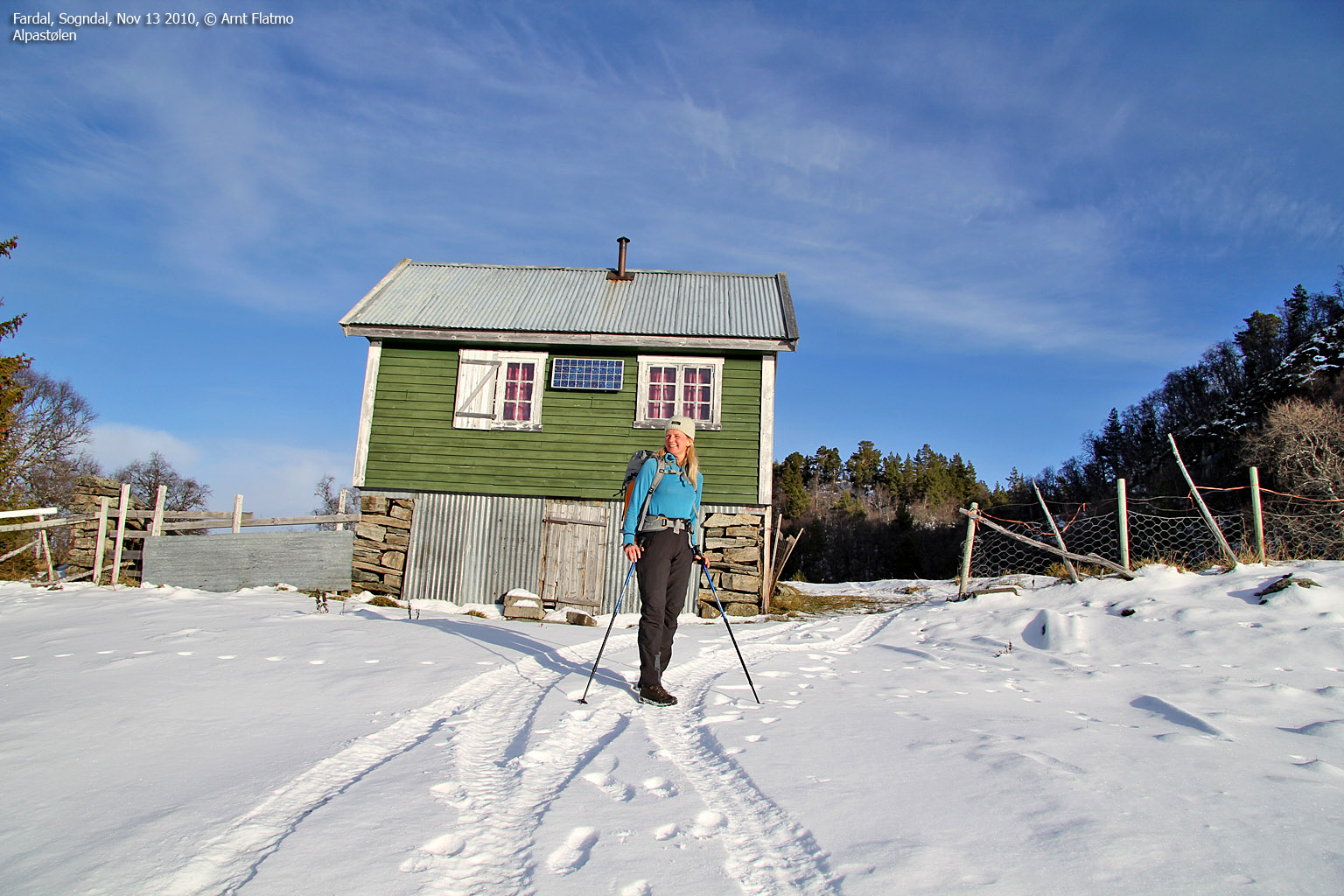
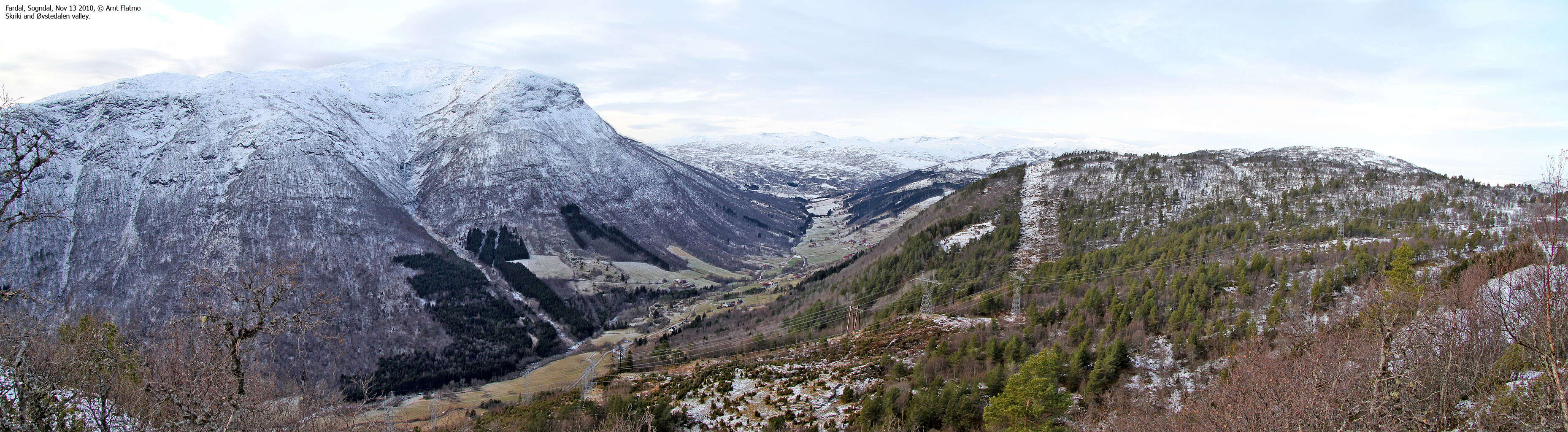
We followed a tractor road until it ended above Alpen. A forest path led us to another tractor road, and this road went all the way up to Alpastølen. We reached snow above 500 meters, but it was only a thin layer. The weather was gorgeous and the view from Alpastølen was brilliant. It was good to be outdoors!

Alpastølen with Skriki in the background
(Click for larger image)
On the way up Smørhovden, Anne discovered splinters at the foot of a tree. Upon closer inspection, we found a cleverly built nest (had to be accessed from below), made by a Greenpecker (we think). For all we know, it might not have been a nest after all (it was a strange time of the year to build one?). Perhaps the bird was just looking for food? I would just have to check if there is a woodpeckerfordummies.com site on the net...

Pecker work
(Click for larger image)
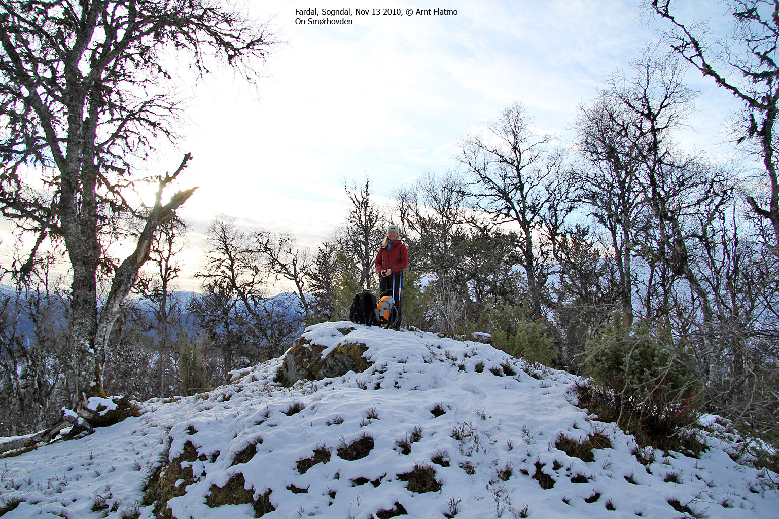
We arrived at the top 1:20pm - 1 hour after heading out. We didn't get a summit sensation in the middle of the forest, but I really liked this area. The view was for the most part obscured by trees, but we got a good glimpse of Torstadnakken and Tylderingen.
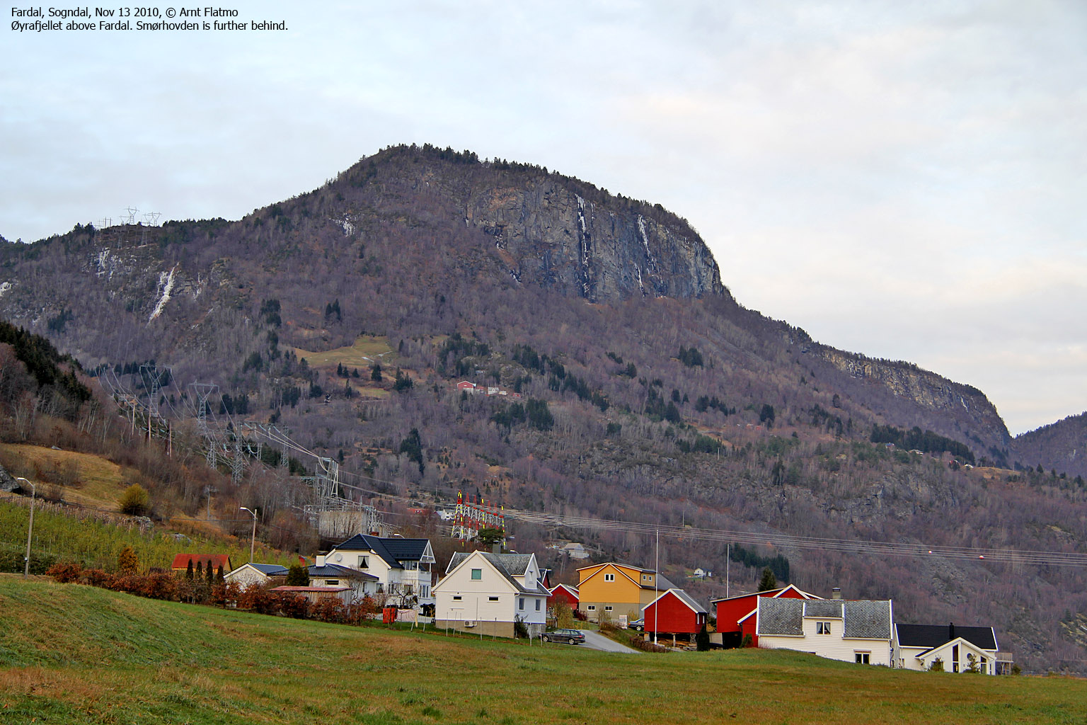
It was tempting to walk to Sogndal via Stedjeåsen, but we ended up with aiming for Øyrafjellet and to see if we could find a descent route close to the cliffs. After walking 1km along the forest ridge, we arrived at the Øyrafjellet trigonometric point and met a deer hunter at the same moment. It was a bit scary. Suddenly he was just there, coming out of nowhere. Once he was gone, we enjoyed the views while discussing where to descend.

On Øyrafjellet
(Click for larger image)
From Øyrafjellet, we headed straight down and kept to the right when we reached the top of a big cliff. Anne had a bad knee and this steep descent was painful for her. We were back at the trailhead 2:40pm and checked if the stout was still there. Perhaps it was, but it didn't come out to see us. Back at Fardal, we stopped and took a look at the icy Fardalselvi waterfall.

Fardalselvi waterfall
(Click for larger image)


