
Norwegian Mountains, Møre og Romsdal
Skoratinden & Fossanipa, Aug 15 2009
To the main Skoratinden page (maps, route descriptions, other trip reports, etc.)

The route to Skoratinden and Fossanipa
(Click for larger image)
The time had come to (finally) visit Skoratinden - a beautiful peak that I see every day from my house. Unfortunately, it was a mediocre weather day when I got on the Årvika - Koparnes ferry. It had been raining, and as the mountain would surely be slippery, I told myself that I would only visit the main top - a straightforward hike on the normal route. But the devil in me kept saying "you've got to take a closer look at the north ridge!". "That's not smart, given the slippery mountain!", the other-other me replied. I'm sure it's quite normal to hear two different voices inside one's head, but if it's not - please don't ever let me know..

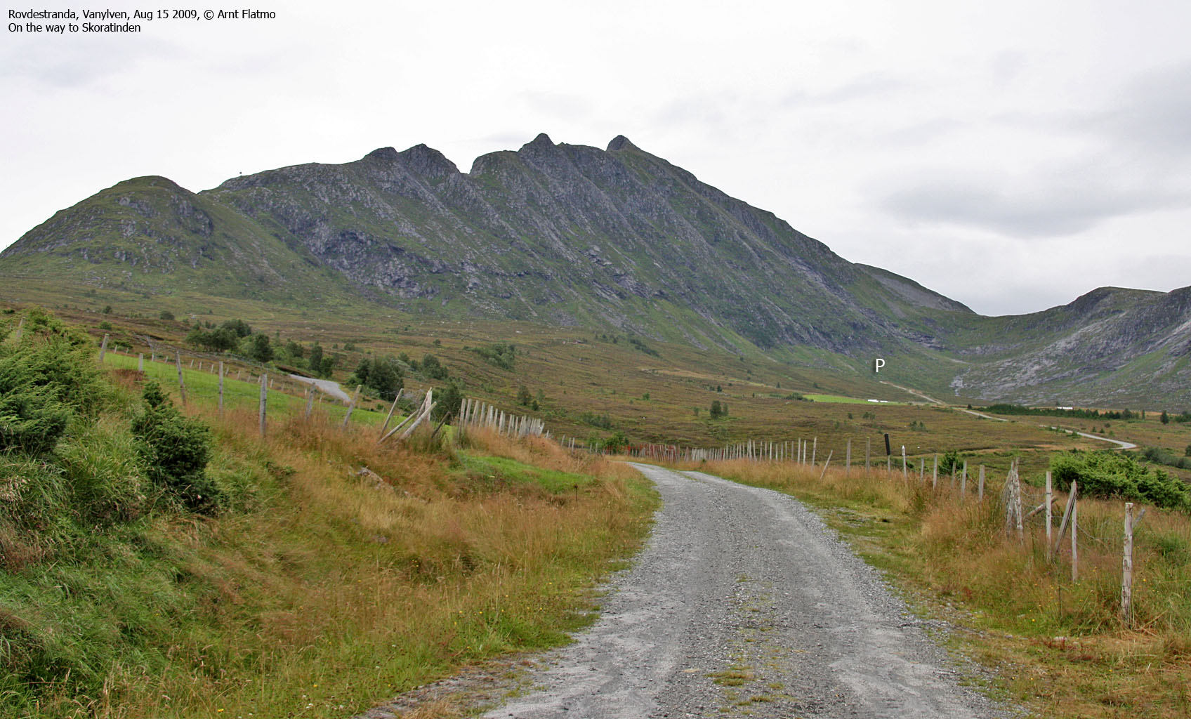
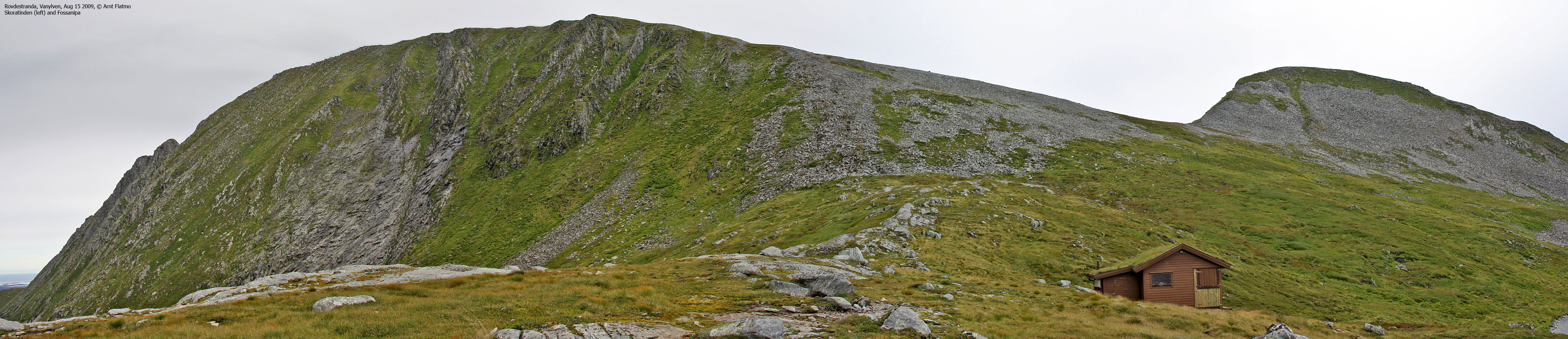
Skoratinden seen from Årvika
(Click for larger image)
Arriving at Rovdestranda, I turned onto the Årskogdalsvegen road. As I approached the trailhead, I concluded that the car would need serious renovation, in order to get rid of all the sheep dirt that caked the bottom of the car. The outer diameter of the wheels had expanded at least 5cm, and driving felt .. slippery.
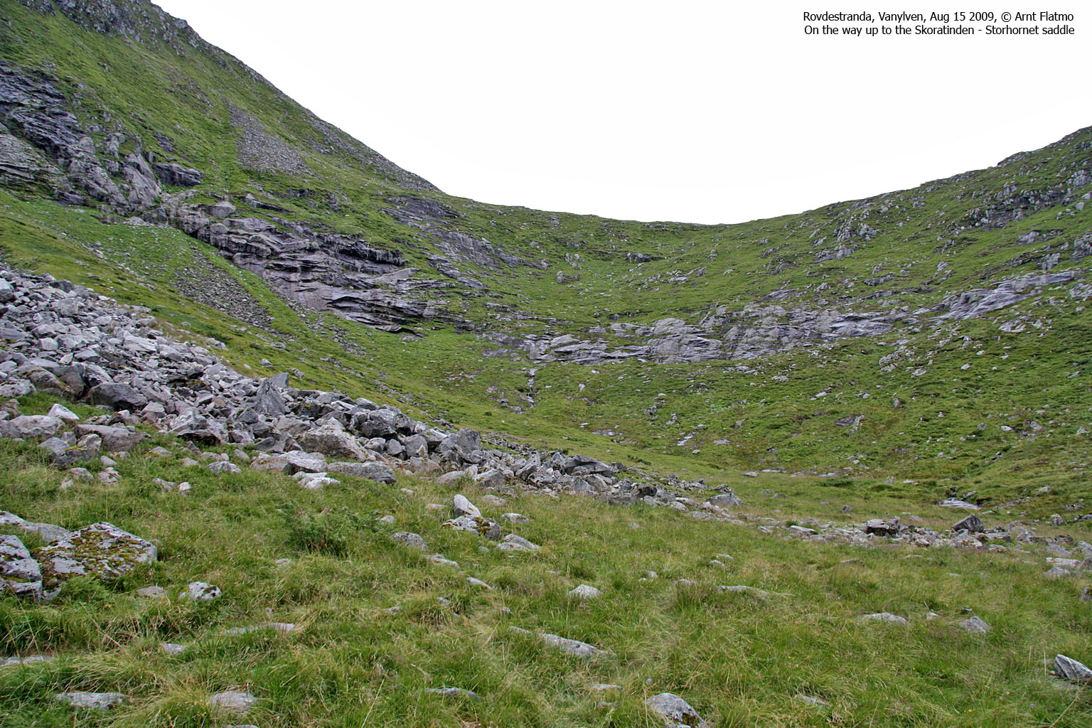
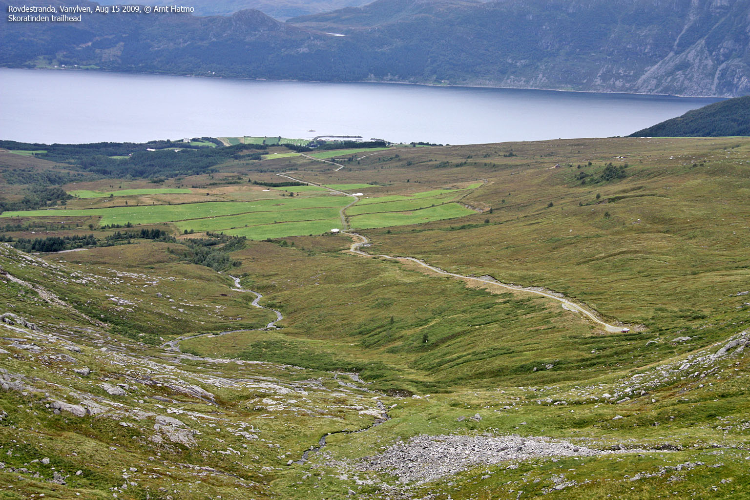
I left the trailhead 11:10am, and followed the path up to Skåravatnet. Once I got Fossanipa in view, I decided to pay this top a visit too. Fossanipa was an easy hike. 15 minutes after arriving at the Skoratinden - Fossanipa saddle, I was back in it, but this time with Fossanipa "in the bag".

Fossanipa
(Click for larger image)
I met 3 other hikers coming down Skoratinden. We talked only briefly, as it started to rain. They wanted to get down, and I wanted to get up. The time was 12:10pm when I reached the summit cairn - 1 hour after leaving the trailhead. And then the devil started addressing me again; "the north ridge, the north ridge.." - OK, just a quick look then.

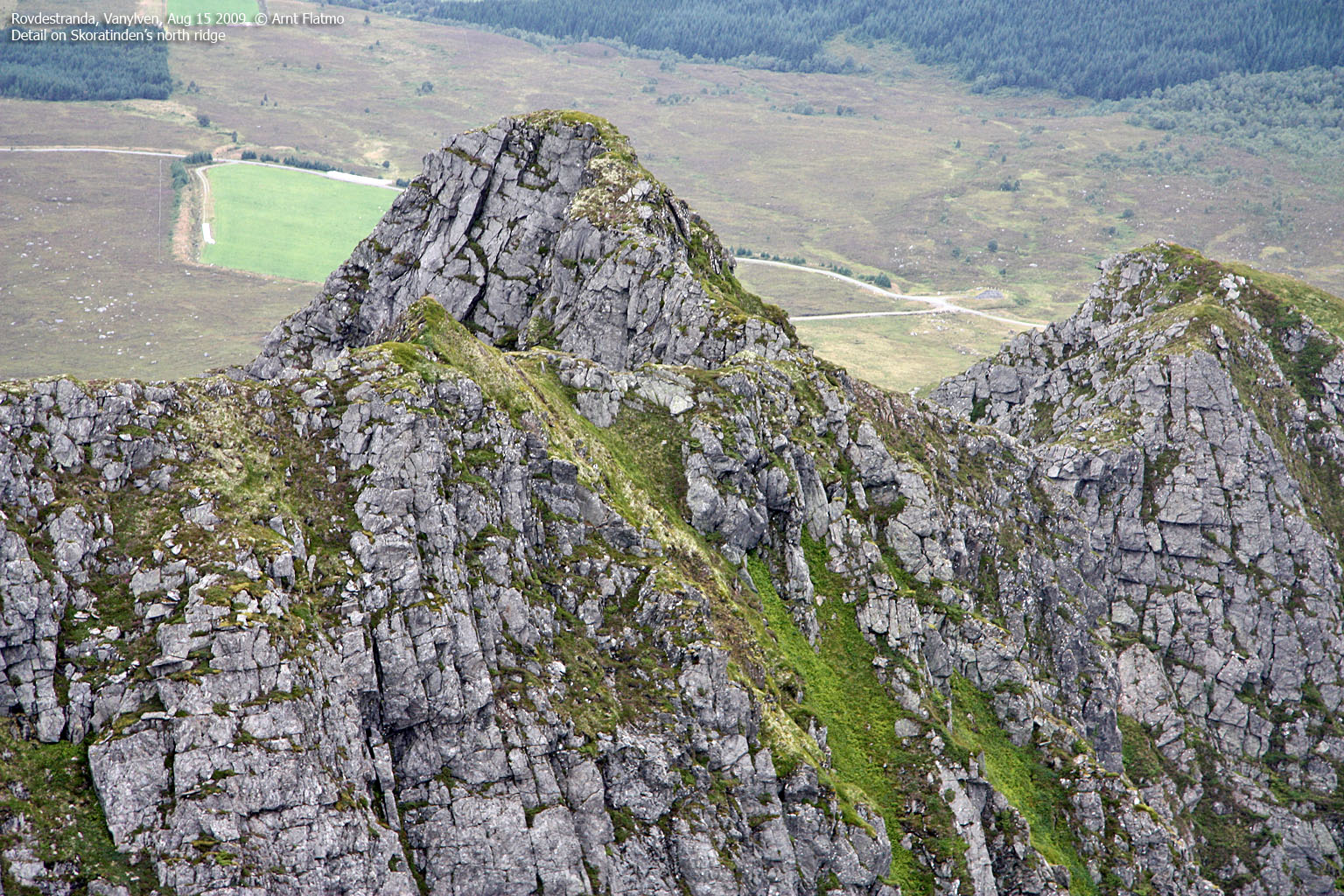
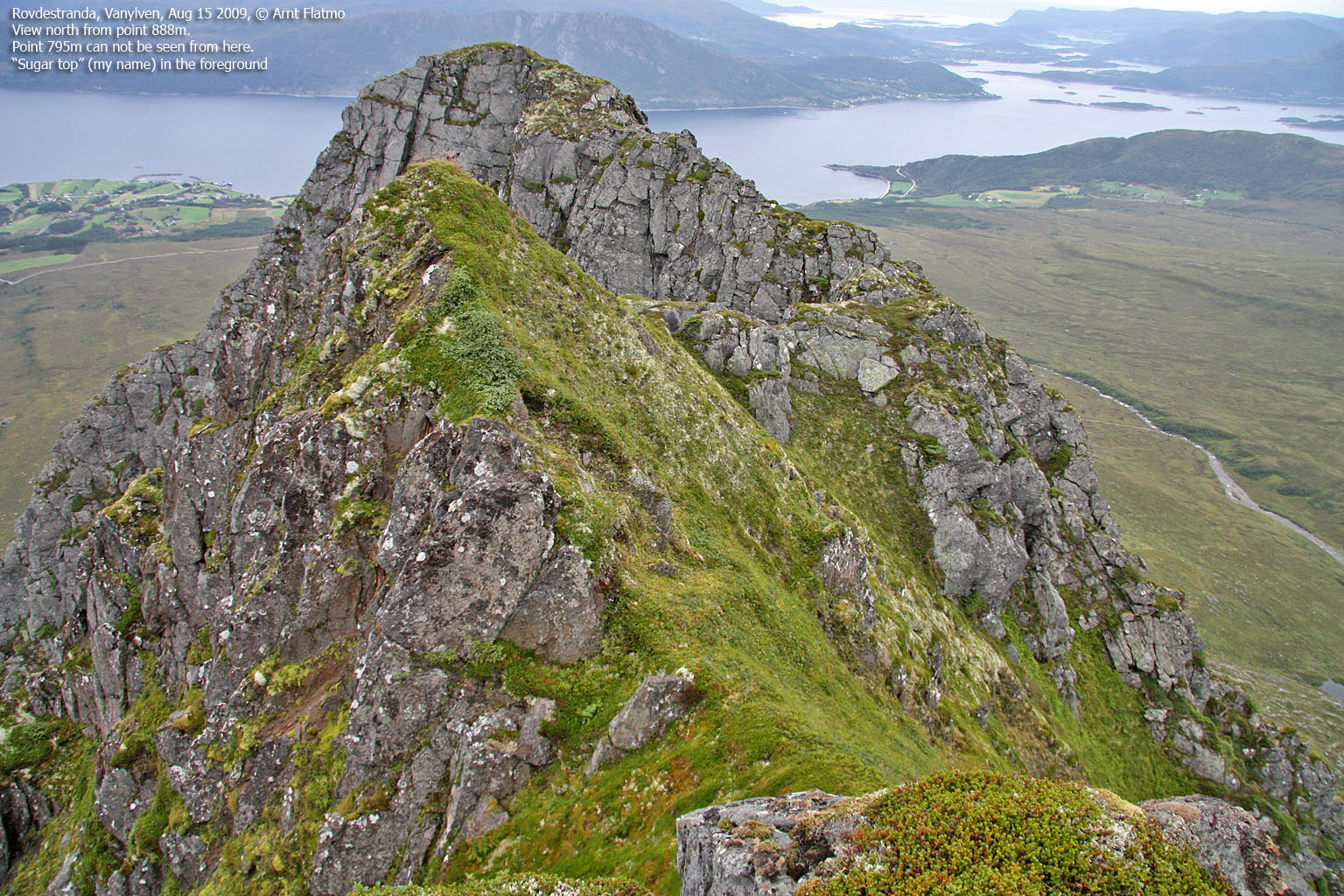
The north ridge
(Click for larger image)
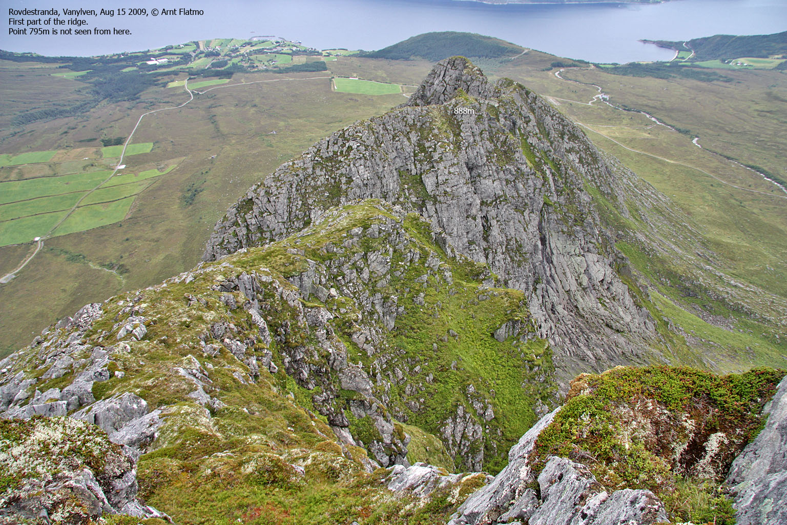
At first, the ridge was easy. I descended towards the col (gap) between point 888m and Skoratinden. A sudden drop prevented me from descending straight into it, but I found a way around. The detour was not only exposed, it was bordering on risky - given the slippery grass. The comforting thought was that I imagined that getting back up would be easier than getting down.

My route into the col
(Click for larger image)
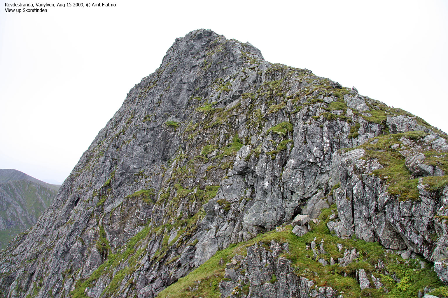
The route from the col and to point 888m was an easy scramble. Then I continued along the ridge which was quite narrow in places. After passing another ridge top, I began descending towards the col below point 795m. At this point, I was very excited. Would I really be able to pull off the complete traverse, or would there be a showstopper near the col?
There certainly was. Again, the ridge made a sudden drop, and this time I was unable to find a way around. I definitely tried - but when the "alarm bells started ringing", I backed away. The sense of defeat soon turned into optimism when I - then and there- decided to soon return for another attempt - this time from north to south. But as I didn't find the time or opportunity for revisiting Skoratinden this autumn, the traverse is now on the "things to look forward to" list for 2010...

Dead end
(Click for larger image)
I turned around and expected no more difficulties along the way. But when I got back to the first col, I struggled to get up the (very) exposed section. I couldn't get a grip for my feet on the slippery grass, and had to pull myself up by drilling my fingers into the grass. Enough "excitement" for one day..
Then I got to a smaller gap which I had forgotten about; I was now standing on a loose rock, trying to lift myself by holding on to - another - loose rock. No matter what I tried, I was unable to get up. I started searching for alternatives, but found none. Then I thought about how I descended this "thing", and was actually able to get back up the same way - lifting myself face out. I chuckled as I continued up the ridge. This problem was almost too dumb...

IQ test..
(Click for larger image)
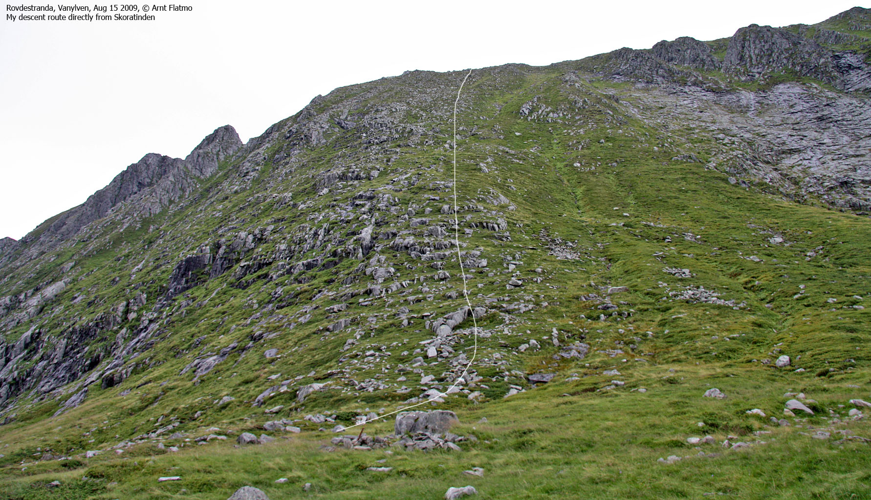
The plan had been to descend my ascent route, but just before arriving at the summit (again), I changed my mind and headed straight down into the valley. Albeit steep, this was a very practical short-cut, and I returned to the trailhead 1:46pm - less than 30 minutes after leaving the summit ridge.


