
|

Skorane seen from the Bergsdalen road(No Javascript) |
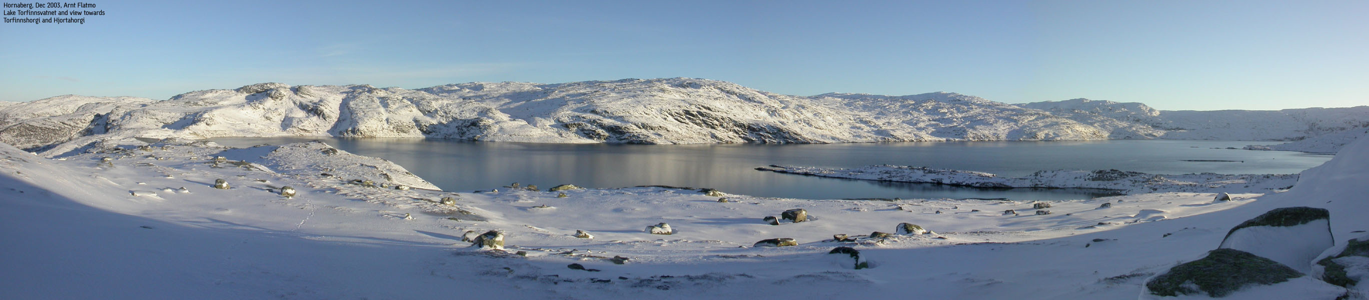
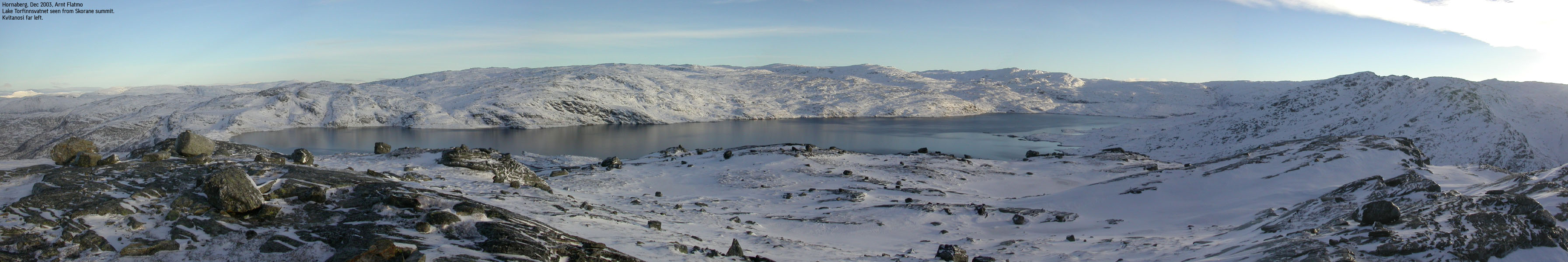
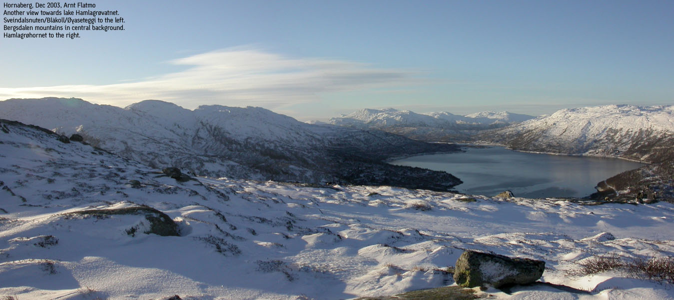
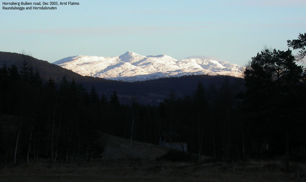
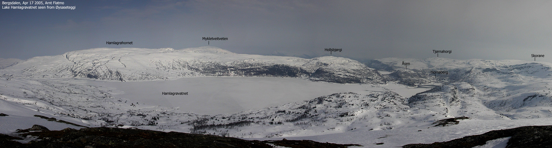
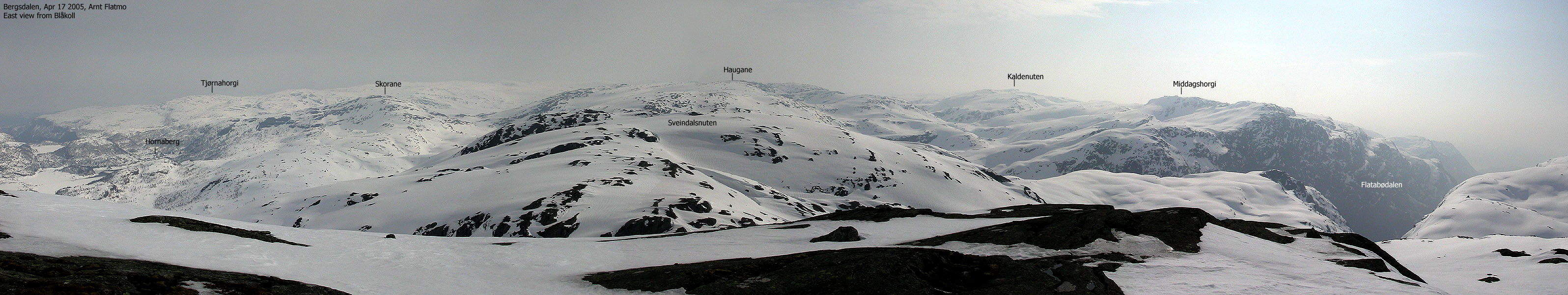
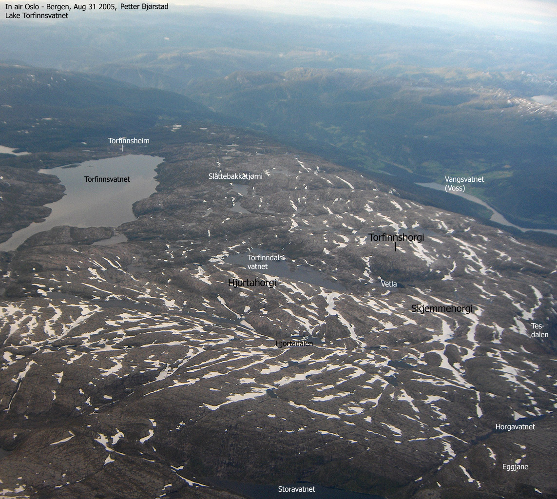
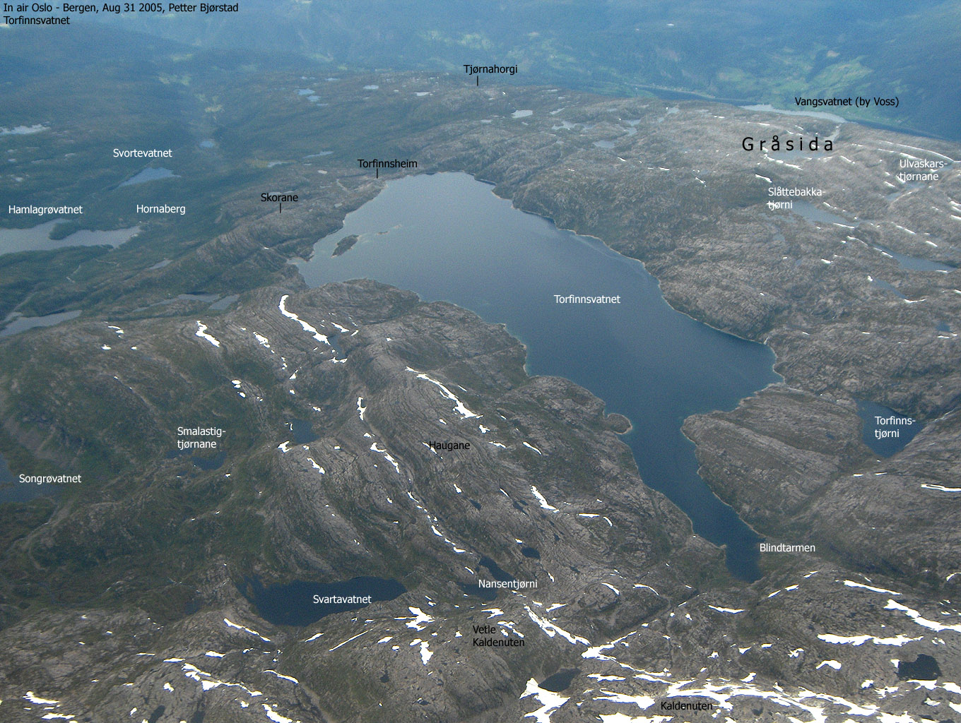
Skorane is one of many mountain tops around lake Torfinnsvatnet. Skorane is also the lowest of the tops and is not spectacular in any way, but offers a good view towards lake Torfinnsvatnet and a great view towards lake Hamlagrøvatnet and the Bergsdalen mountains. The mountain is also very accessible thanks to a short "T" trail from Hodnaberg. This is a hike for the family.
This route is also a good starting point if you plan to hike around lake Torfinnsvatnet. The "T" trail ends at Torfinnsheim, a DNT hut.
For those especially interested:
Skorane has a primary factor of 152m towards the higher Haugane. A stream from lake Torfinnsvatnet (893m-858m) drains to lakes Kvålsdalstjørnane and defines the saddle.
The nearest higher (unranked) summit is Kvålsdalsfjellet (1163m) 2Km towards the southeast.
Note: Class ratings are in reference to YDS (Yosemite Decimal System).
Note: The trail described below is not necessarily the easiest trail to this mountain.
|
Hodnaberg - Skorane (summer/autumn)
|
|
Access
From Bergen, follow E16 towards Oslo. At Dale, approx. 33,2Km after you exit Arnanipatunnelen outside Indre Arna, exit right to Dale centre and follow the Bergsdalen road upwards. At "Hornaberg", 32Km after you left highway E16, exit right.
As an alternative, continue another 30,1Km on highway E16 from Dale and exit left towards Hamlagrø. Follow signs to Hamlagrø and after 11,9Km, exit left towards "Hornaberg".
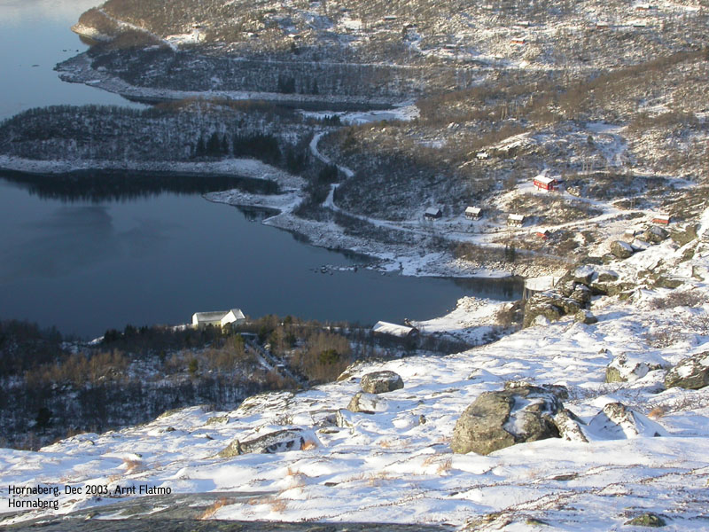
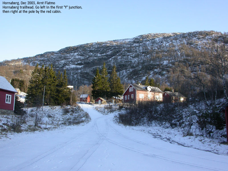
From the Hornaberg junction, drive 1,3Km and find parking in the cabin village. Note that Hornaberg is also referred to as "Hodnaberg".
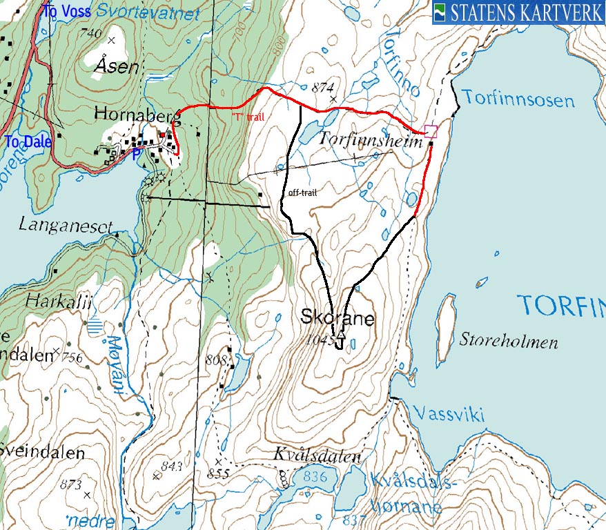
The route
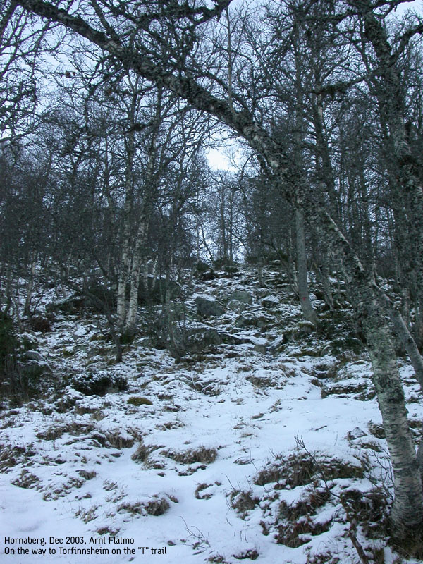
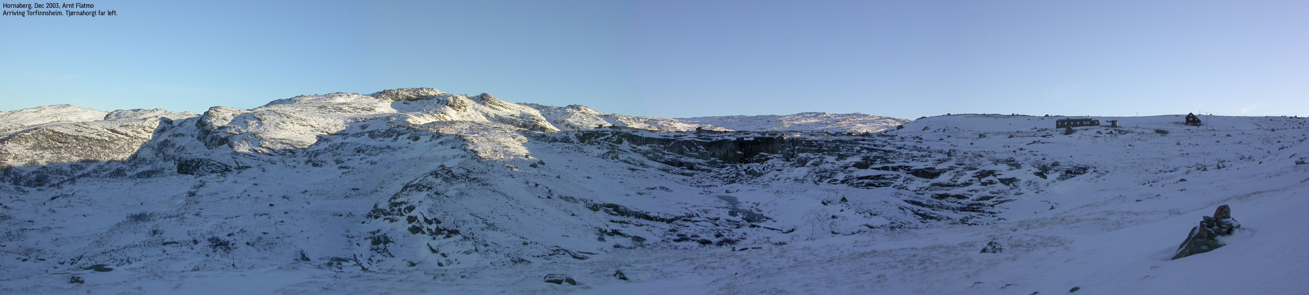
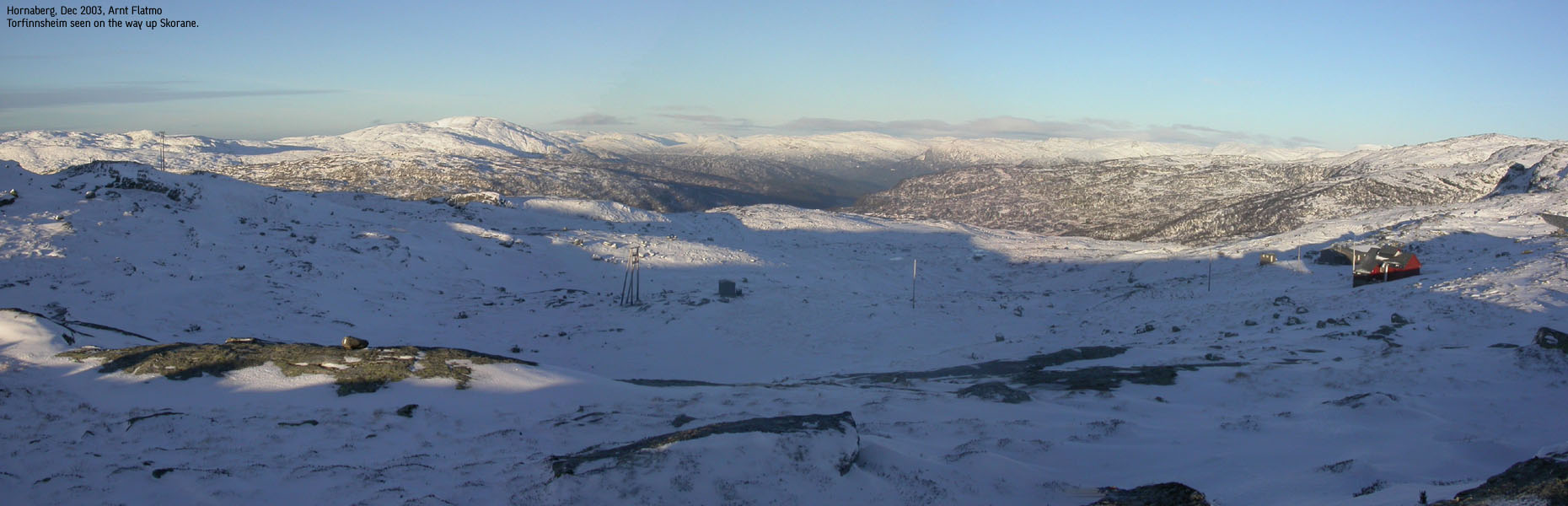
Walk up a short hill, and exit right when you reach a telephone pole with "T" painted on it. At the last cabin on your left, turn left and follow the "T" trail upwards to Torfinnsheim hut by lake Torfinnsvatnet.
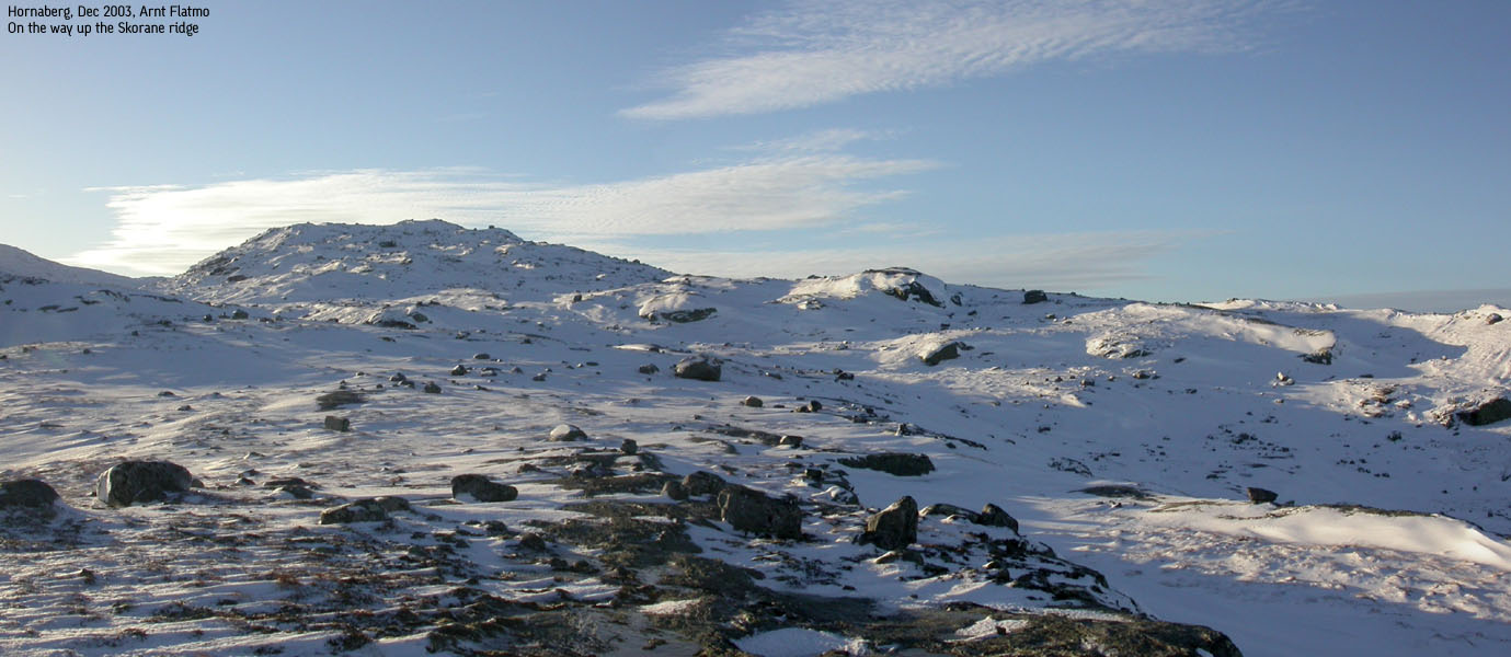
At Torfinnsheim, turn right and follow the long ridge to Skorane, with lake Torfinnsvatnet down on your left.
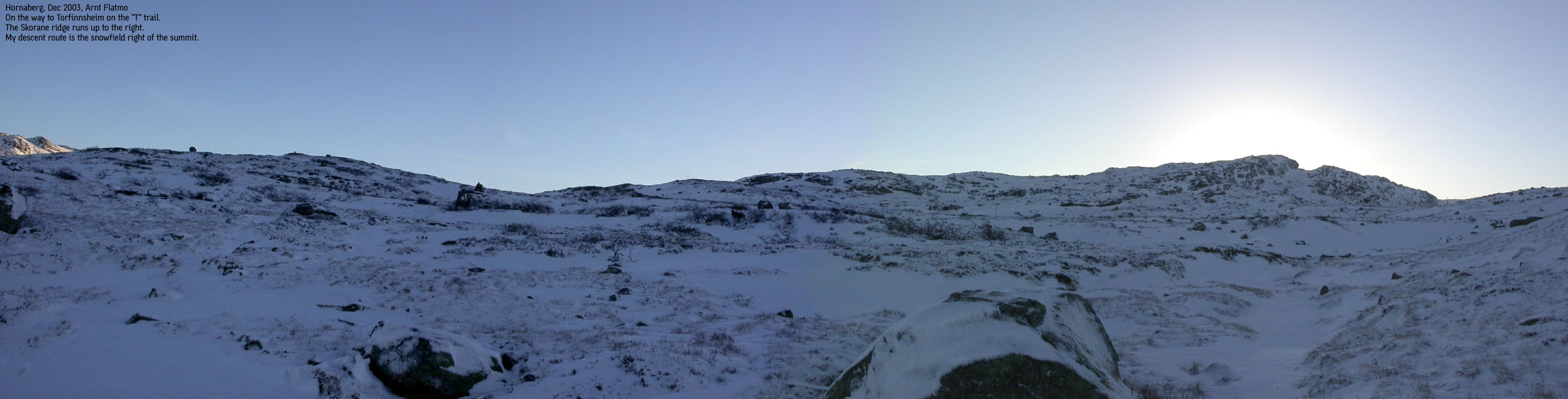
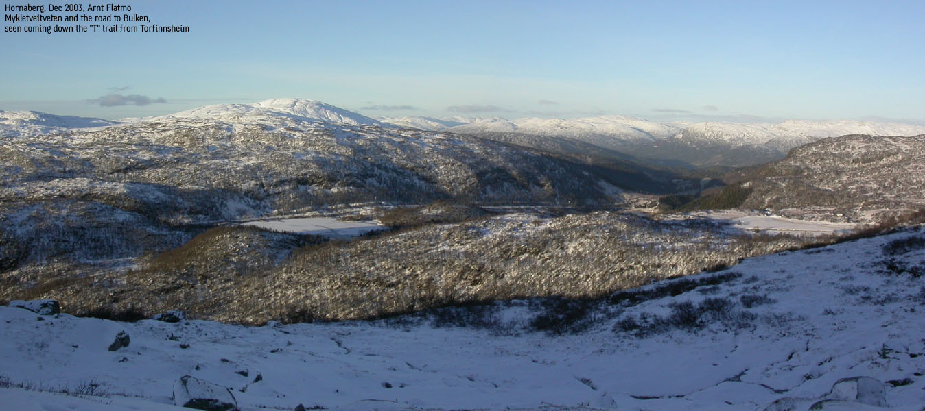
Descend your ascent route, or: Continue over the summit, and locate a place to descend to a small plateau below the summit. Then set a direction towards the "T" trail from Hornaberg. When you arrive the large plateau below Skorane, hike along the edge of the plateau to get views of the Hornaberg pipeline.
Another alternative for descent is to hike down to the saddle between Skorane and Kvålsdalsfjellet and follow a trail that runs down to Hornaberg. I have not hiked this trail myself, but it is marked on my GPS map.
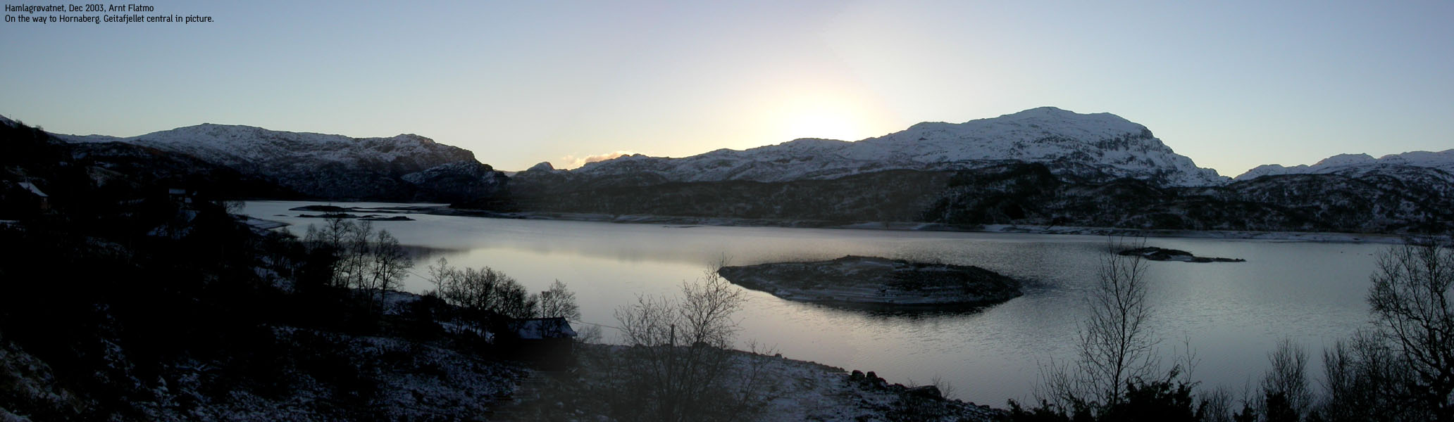
After having been away for 14 days, it felt good to be on the way towards the mountains again. The shape wasn't 100% and I was wondering if I had picked up pieces of the flu that kicks around. According to my reverse logic, the best way to fight this is a good walk in the mountains. Weather forecast was a bit unclear, so I didn't want to go too high. And since I would have to carry the dog in the snow, I didn't want a very long hike. Skorane was the perfect choice for this Saturday. The vertical gain was less than 500m, but with the summit at 1045m, I would get some of the high mountain feeling.
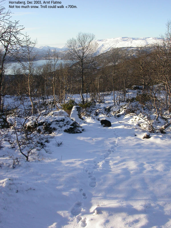
I chose to drive the Bergsdalen road as I wondered if it was icy. It was. Every year I get into the winter rhythm by driving this road. No salt. No sand. Just ice. Good practice. We left the Hornaberg trailhead 10:30AM. There was snow on the ground, but only a thin layer. I was hoping the dog would walk. He wouldn't. Fine, I would enjoy the hike anyway. The weather was just great and the views got better by the minute. I soon forgot about the mental old fur making noises in the backpack.
The snow got gradually deeper above the birch forest, but never too deep. We reached Torfinnsheim 11:30AM and Skorane 12:00PM. It was good to see lake Torfinnsvatnet again. I thought back on the long hike around this lake a few years ago. Hjortahorgi was the target then. It was a bit chilly on Skorane, and I didn't stay longer than necessary. I decided to take a different route down, and found a convenient snowfield below the summit. I set a direct course towards the "T" trail, 1.5Km further NW. At the place when we rejoined the Torfinnsheim trail, the dog agreed to walk back down. I understood the icy snow was annoying for him. He was standing on three legs with the fourth one kicking in and out. But as my tracks were in the snow, there was no option. He simply *had* to track them down. After a quick hike down the forest, we reached the trailhead just before 13:00PM.
Move cursor to read notes, and click on the images to see full version.
Some of the thumbnails may have been cropped to fit the format.
Pictures are presented in the order they were taken.


No Javascript:
1 2 3 4 5 6 7 8 9 10 11 12 13 14 15 16 17 18 19 20 21 22 23 24 25


No Javascript:
 Other hordaland mountains
Other Voss K. mountains
westcoastpeaks.com
Other hordaland mountains
Other Voss K. mountains
westcoastpeaks.com

