
Norwegian Mountains, Møre og Romsdal
Flatfjellet, Signalhornet & Skolma via Ytreflødalen,
Apr 5 2009
To the main Skolma/Sneldelida page
It was a fine Sunday morning, and I was on my way to the Volda mountains for some nice skiing. The car roof was down, the sun was shining, and I was in a most excellent mood. But before I reached the Eiksund tunnel, it started raining (lightly). As I didn't want to go skiing in bad weather, I had to come up with plan B. I looked around and noticed that there was still nice weather at Flø, and I turned the car around.

Heading out from Ytreflø
(Click for larger image)
Plan B was to hike up Ytreflødalen valley, head across Smørkinna & Veten, and descend via Indreflødalen. As I had never been to Ytreflødalen before, this was a good plan. A bit after leaving the trailhead at Ytreflø I passed a cool rock (Hoksteinen), which I wanted to climb, but didn't. The rock was a bit slippery, and I decided to save this rock for a dry day. I also passed a cool couloir (Trongagjølet), which I will also come back for.
On my way along the shore, I met Erling Flø, with whom I had an interesting chat. He knew every route there is to know in this area. We agreed that we should do a hike on Kjerringa one of these days. By the looks of it, the route is airy. Erling may well call it a route. I call it eagle terrain...

Kjerringa
(Click for larger image)
I headed up Ytreflødalen and when I got to Lake Ytrefløvatnet, I didn't quite know what to do. I followed the vague path along the lake until I made my mind up. Ahead of me was a top that I hadn't been to before. It didn't have a map name, and it was merely a hump. But as I hadn't been to it, that was where I would be heading. The scramble up from the lake was a bit steep, and the terrain below the ridge was quite steep.
I passed a cairn at 550m, which seemed to have been built at a totally random location. The nameless top (618m) was still 450m to the east. I later learned (thanks to Erling) that this top was called Flatfjellet. In fact, the whole ridge, including Signalhornet, is also called Skinnalida.

Ytrefløvatnet
(Click for larger image)
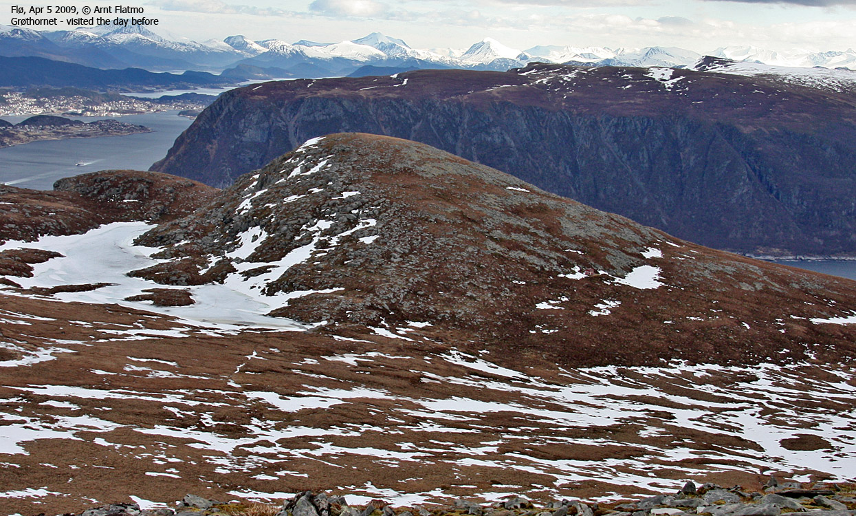
From Flatfjellet, I continued to Signalhornet (631m), descended to the north on snow, and then headed up to Skolma (636m). I was confident that I would find a well worn path down from Skolma, but I didn't. A vague path led me astray, and I had to descend off-trail into Ytreflødalen. It was just about to start raining when I reached the car, and the wind was strong. Flø is obviously a popular place for a Sunday hike, and I met lots of people with small children.

Ålesund seen from Signalhornet
(Click for larger image)
Trip facts:
The hike was approx. 12km in distance. The total vertical gain was approx. 750m, and the time was 3h:35m (incl. all stops)


