
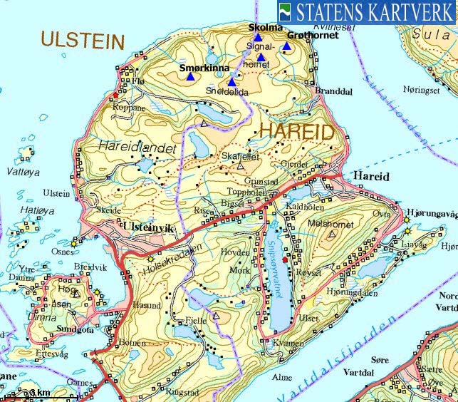
Norwegian Mountains, Møre og RomsdalSkolma, 636m
|
| Fylke/Kommune : | Møre og Romsdal/Hareid, Ulstein | ||||||
| Maps : | 1119-I Ålesund (Statens Kartverk, Norge 1:50 000) | ||||||
| Primary factor : |
Skolma: 483m Sneldelida: 104m Signalhornet: 83m Smørkinna: 85m Veten: 13m Grøthornet: 56m |
||||||
| Hiked : | May 2006, Jan 2009 | ||||||
| See also : |
| ||||||
| See also : | Other Ulstein and Hareid mountains |
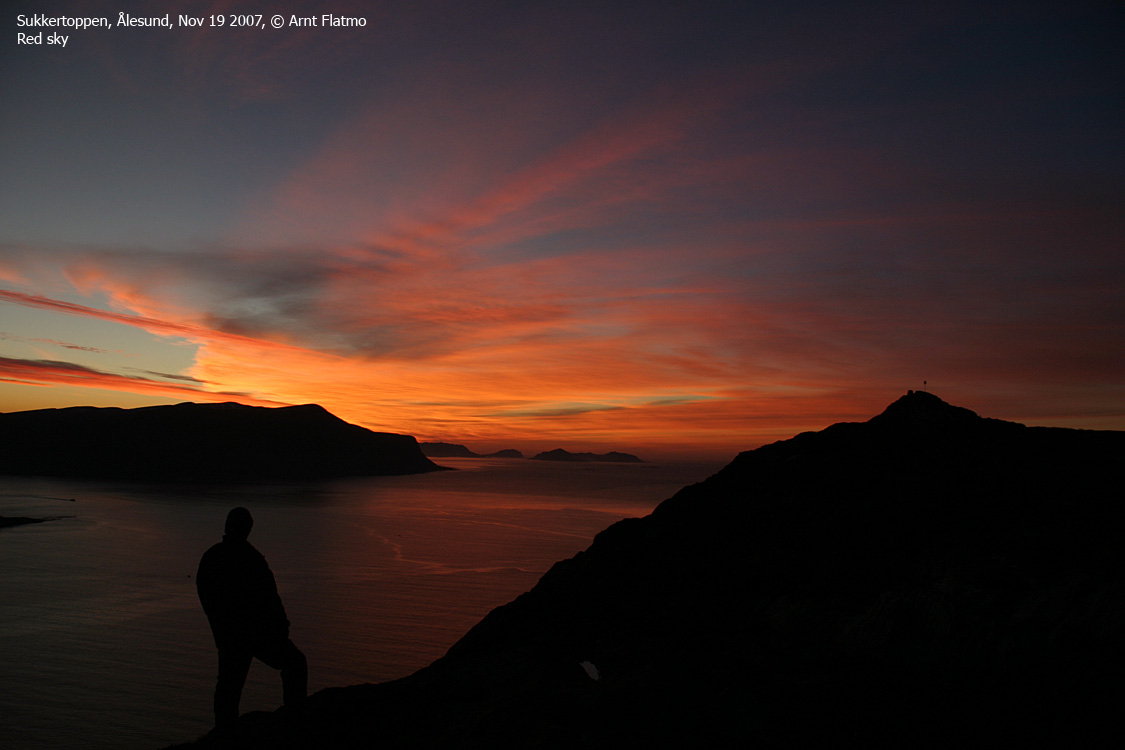
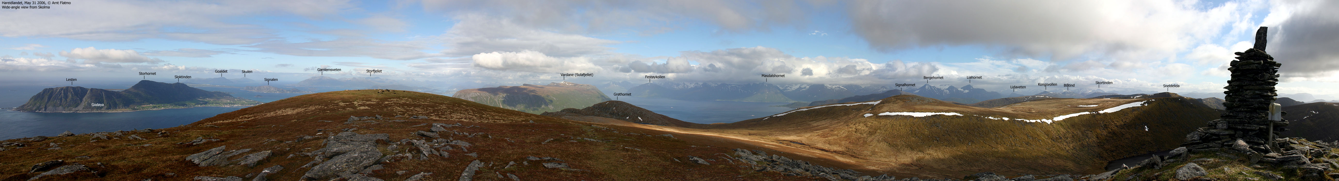
Skolma (left) seen from Sukkertoppen
(Click for larger image)
Skolma, Sneldelida, Signalhornet, Grøthornet, Smørkinna and Veten are tops on Hareidlandet island, located north of Midtflødalen/Indreflødalen valley (on the Flø side) and Indredalen (on the Brandal side). These tops connect to the rest of the plateau (as defined by north of highway RV61) through Tørlingeskaret pass.
The normal trailheads are Indreflø/Midtflø on the west side and Brandal on the east side. Both routes are described on this page. There are also a number of trailheads starting in or near Ulsteinvik or along highway 61. This terrain is superb for hiking (good paths) as well as skiing (plateau). However, Hareidlandet winters in general, don't offer good skiing conditions.

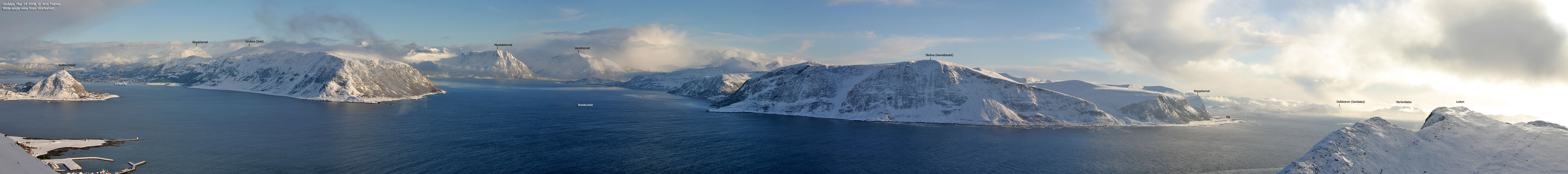
Hareidlandet tops. Skolma far right
(Click for larger image)
Skolma and Sneldelida are shared between Ulstein and Hareid. Smørkinna and Veten belong to Ulstein while Signalhornet and Grøthornet belong to Hareid. Some of these tops were home to "vetter" (wooden cairns, set on fire under enemy attack) during the Viking era. The book Den Norske Leidangen refers to Viten på Fløhørn (Veten), Snelidhornet (Sneldelida) and Signalehorn (Signalhornet).
The short distance between these three tops is a bit puzzling, in respect to the typical distance between the other Veter along the coastline. In addition to these three tops, there were also cairns on Blåtinden (location unknown to this site), Melshornet and Mosvandviten (probably Mosvarden). In other words, there was a great density of cairns on the north side of Hareidlandet. But as to why Skolma isn't mentioned in the book is interesting. Seen from Veten, Signalhornet is barely visible, while Skolma definitely is.
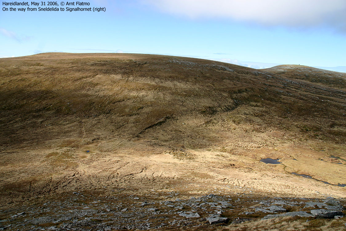
Skolma (right of center)
(Click for larger image)
The point 700m west of Signalhornet is Flatfjellet (618m). The mountainside above Lake Skinnalivatnet is also called Skinnalida/Skinnalia. Once on Signalhornet, you'll be on Flatfjellet within 15 minutes.
Skolma (Norge 1:50,000: 635m, Økonomisk Kartverk: 636m, UTM 32 V 342806 6924489) has a primary factor of 483m towards the higher parent mountain Gardnestua (653m). The defining saddle (approx. UTM 32 V 340092 6916205) is found near Hareidseidet, the highest point on RV661 between Hareid and Ulsteinvik. Ref. Økonomisk Kartverk (5m contours), the saddle is within the range 150-155m, interpolated to 153m.
GPS measured 639m on the summit (on the ground, averaged over at least 5 minutes), error margin not recorded.
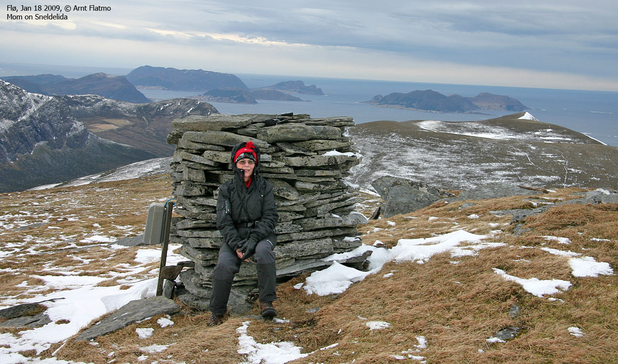
Sneldelida (Norge 1:50,000: 633m, Økonomisk Kartverk: highest contour is 630m, UTM 32 V 341822 6922772) has a primary factor of 104m towards the higher parent mountain Skolma (636m). The defining saddle (approx. UTM 32 V 342575 6923063) is found between Sneldelida and Signalhornet. Ref. Økonomisk Kartverk (5m contours), the saddle is defined as a fixed point; 529m.
GPS measured 634m on the summit (on the ground, and averaged over at least 5 minutes), error margin not recorded.
Signalhornet (Norge 1:50,000: 627m, Økonomisk Kartverk: 626,87m, UTM 32 V 343066 6923789) has a primary factor of 83m towards the higher parent mountain Skolma (636m). The defining saddle (approx. UTM 32 V 343126 6924103) is found between Signalhornet and Skolma. Ref. Økonomisk Kartverk (5m contours), the saddle is defined as a fixed point; 544m.
GPS measured 631m on the summit (on the ground, and averaged over at least 5 minutes), error margin not recorded.
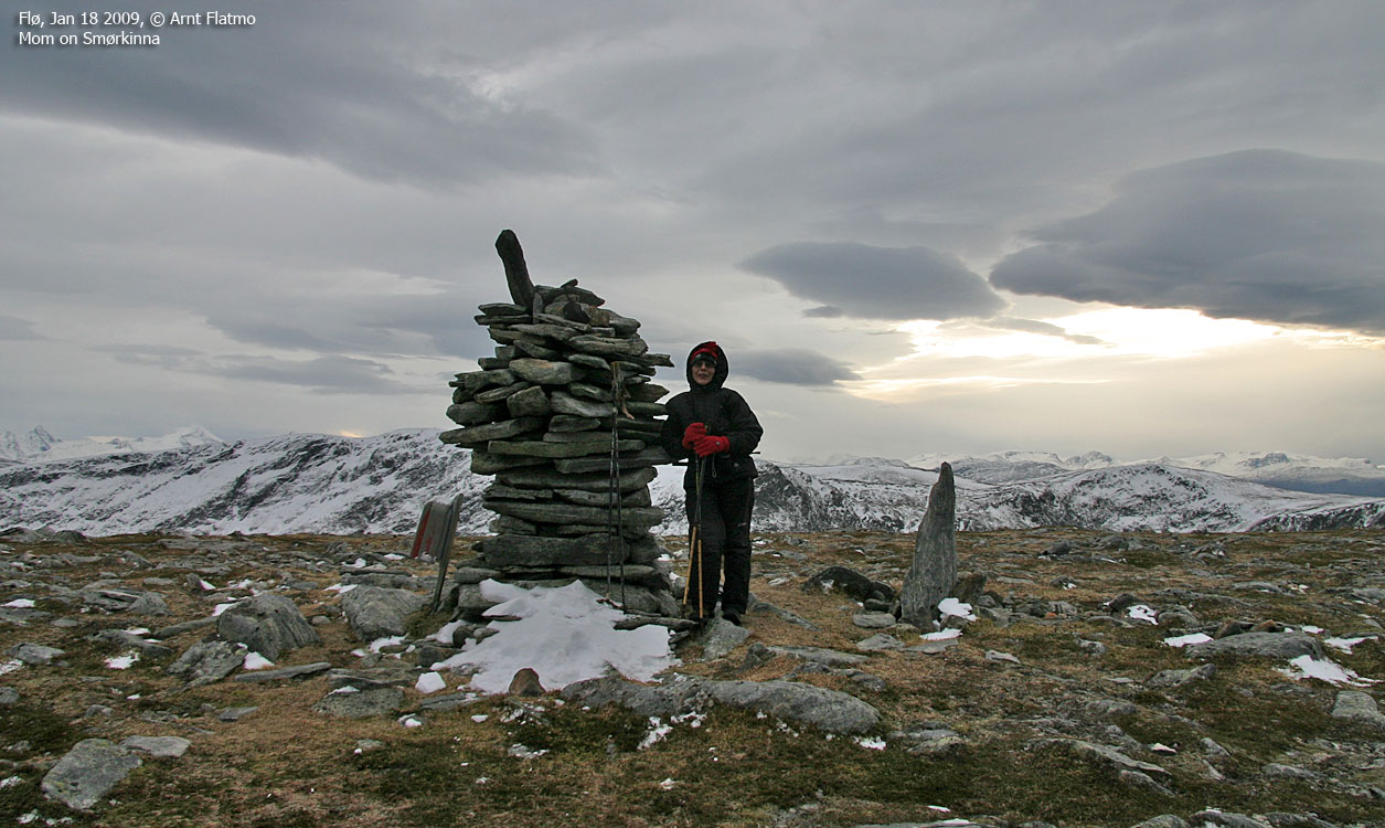
Smørkinna (Norge 1:50,000: 536m, Økonomisk Kartverk: 533m, UTM 32 V 340392 6923061) has a primary factor of 85m towards the higher parent mountain Sneldelida (633m). The defining saddle (approx. UTM 32 V 341006 6922546) is found between the two tops. Ref. Økonomisk Kartverk (5m contours), the saddle is within the range 445-450mm, interpolated to 448m.
GPS measured 532m on the summit cairn, averaged over at least 5 minutes, error margin +/- 4,2m.
Veten (Norge 1:50,000: Highest contour is 520m, Økonomisk Kartverk: 521m, UTM 32 V 338927 6923097) has a primary factor of 13m towards the higher parent mountain Smørkinna (533m). The defining saddle (approx. UTM 32 V 341006 6922546) is found between the two tops. Ref. Økonomisk Kartverk (5m contours), the saddle is defined as a fixed point - 508m.
GPS measured 522m on the summit shelter, averaged over 3 minutes, error margin not recorded. This point is 200m east of the 490m trig. point on the 1:50,000 map. We cannot remember seeing any trig. point at 490m elevation...
Google's interactive map. You can zoom, pan and click on the markers.
|
|
|
|
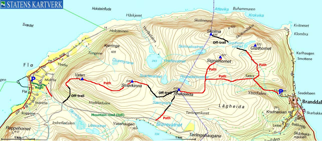
Route 1: Brandal - Sneldelida - Signalhornet - Skolma round trip (summer/autumn)
|
|
Access
(all distances are approx. distances)
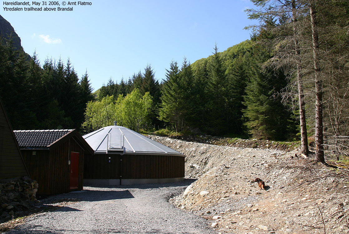
The nearest bigger city is Ålesund. From Ålesund, follow highway E39 towards Bergen, and then RV61 towards Hareid. Take the Sulesund - Hareid ferry to Hareid. When you depart the ferry, turn right in the first roundabout. Drive 4Km to Brandal. You're now in a 30Km/h zone. Turn left onto a gravel road just after crossing a bridge. Follow the narrow road 600m upwards until it ends up by the waterworks and find parking there.
The route
Sneldelida
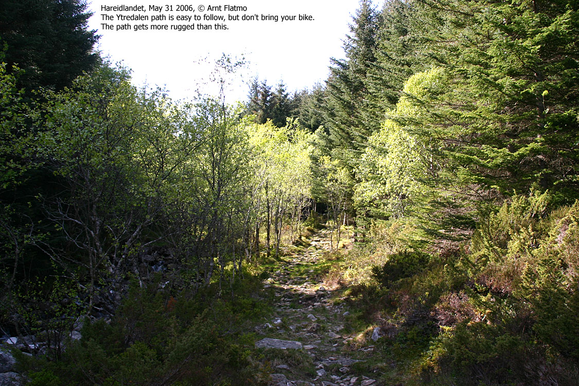
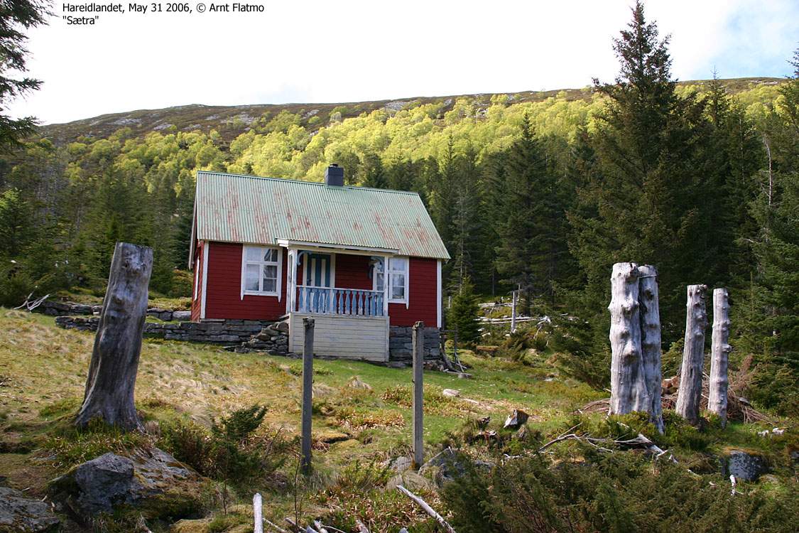
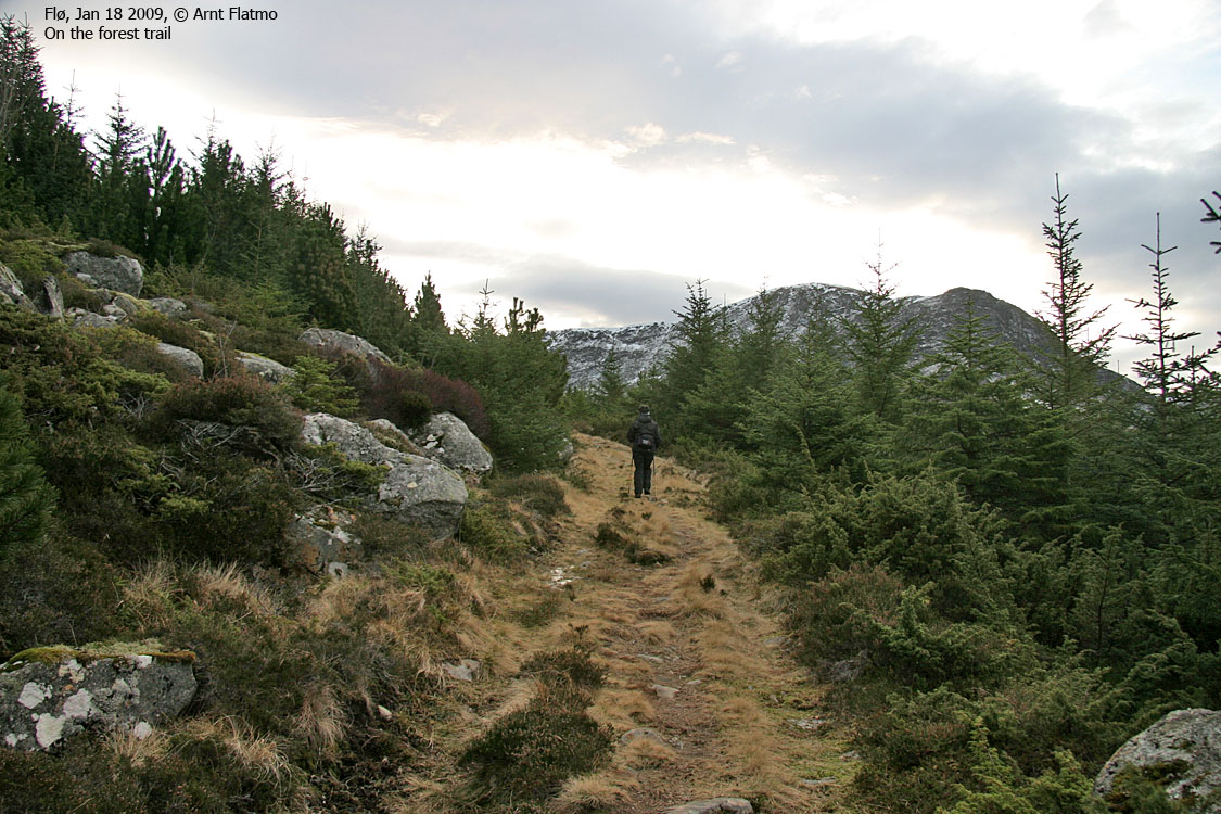
Follow a very visible trail all the way to Sætra (approx. 320m elev.). There is a main trail junction in the pine forest just before Sætra. If you are too close to the creek, you may not see it. The junction is well marked with several signposts, but it is hard to see in the dark forest. In any case, you will return to this junction after having visited Skolma.
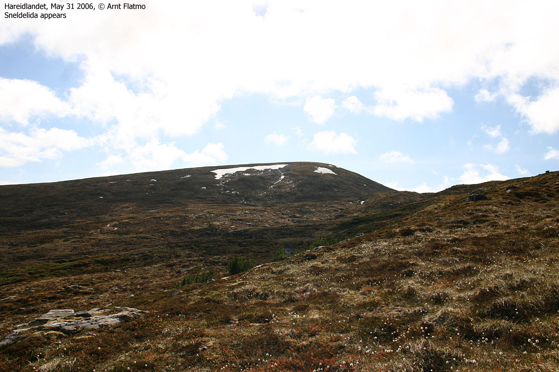
The path to Sneldelida can be hard to find, but just head upwards on the grassy fields. Set course directly for Sneldelida, and sooner or later you will cross the path. Whether you want to follow it, is a different question. The paths in this region runs here and there, and not all follow the A-to-B logic. You can reach Sneldelida in any way you choose, so just choose one. The summit is on the far side of the plateau you enter. There is a proper cairn on top.
Signalhornet
Take the shortest route to Signalhornet. You can follow a path that bypasses the top west of Signalhornet, to the right. A large cairn marks the top of Signalhornet.
Skolma
Take the shortest route to Skolma. There is no direct path, although you cross several paths along the way. A proper cairn marks the top.
Descent
Descend Skolma in the direction of Grøthornet. Visit this top if you will. Follow the stream from Grøthornet and you will eventually find the path that runs to the trail junction mentioned above.
|
Route 2: Indreflø/Midtflø - Sneldelida - Smørkinna - Veten
round trip (summer/autumn)
|
|
Access
(all distances are approx. distances)
The nearest bigger city is Ålesund. From Ålesund, follow highway E39 towards Bergen, and then RV61 towards Hareid. Take the Sulesund - Hareid ferry to Hareid. Follow highway RV61 for 10,5km to the Ulsteinvik/Måløy/Fosnavåg junction outside Ulsteinvik. Drive 2,2km through Ulsteinvik and turn onto the Flø road (signposted). Follow this road 8km and park by a chapel (Bedehus in Norwegian language. There is probably a better translation). The toll road up the valley begins 600m further up the main road, but this route on this page begins by the chapel.
The route

The route
(Click for larger image)
Sneldelida
Follow the nearest road 350m up to a house, turn left, walk 50 meters, then turn right and follow a forest road 170m to another house The road continues past this house, now as a forest road, and after 400m, you join the road up Indreflødalen/Midtflødalen valley.
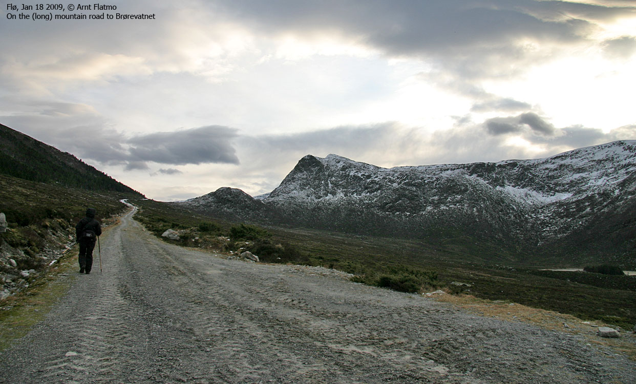
Follow the valley road upwards. After 300m, you pass the Roppemarka junction. You will be coming down from the forest to your left. 3,2km after you got on the forest road, you're alongside Lake Brørevatnet and have a distinct ditch on your left-hand side. Follow the path alongside the ditch until it ends, 200 vertical meters below Sneldelida. Hike off-trail up to the top, which is marked by a proper cairn.
Smørkinna
From Sneldelida, head off-trail southwest down to Sæmyrane. Then head northwest until you join the path from Ytreflødalen. Smørkinna is marked by a proper cairn.
Veten & descent
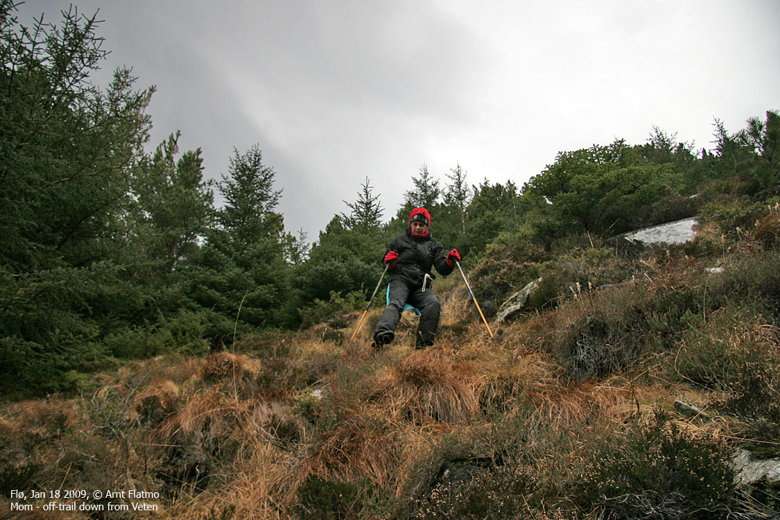
From Smørkinna, follow the plateau west towards Veten. A large shelter marks the high point. From Veten, follow the edge of the plateau down to 360m elevation, where the path turns southeast and heads into the forest. You may easily lose the path in the forest. In that case, head south until you find a distinct opening in the forest. This opening will lead you down to the valley road near the Roppemarka junction.
Route 3: Skolma from Ytreflø via Ytreflødalen:
Drive to the end of the road at Ytreflø. After 1,8km along a gravel road and a path, you'll see the Skolma signpost. Follow a visible path up Ytreflødalen. At approx 200m elevation, watch for a path that crosses the creek and then across a morraine on the other side of the creek. On the other side of the morraine, you'll see another Skolma sign. This signpost can not be seen from the main path (!!)
The path continues across the meadow and then up the west ridge, close to the edge of the plateau.
The main path continues up to Lake Ytrefløvatnet and does not continue towards any of the surrounding mountain tops.
 westcoastpeaks.com
Other Møre & Romsdal mountains
Other Norwegian mountains
westcoastpeaks.com
Other Møre & Romsdal mountains
Other Norwegian mountains


