
Norwegian Mountains, Møre og Romsdal
Skaphornet (851m) via Haralddalssætra, June 7 2009
To the main Skaphornetpage (maps, route descriptions, etc.)

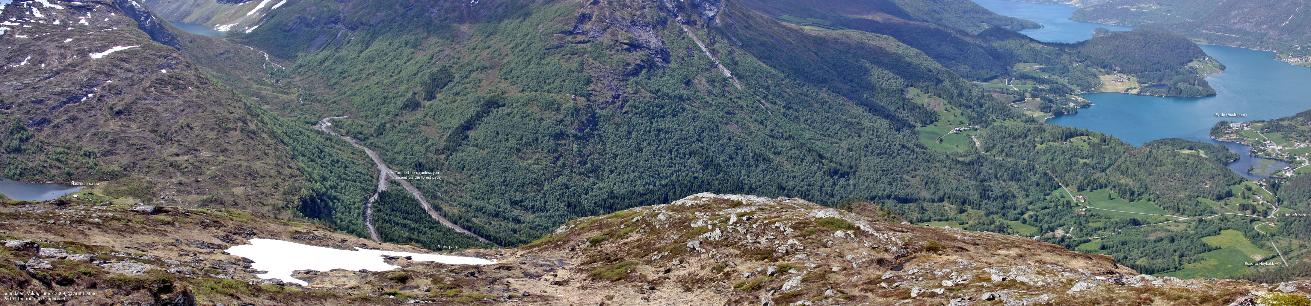
Part of the route
(Click for larger image)
So, now I had to find myself a sneakers-compatible mountain instead. I still wanted do a mountain I hadn't been to before, and the nearest candidates were Middagshornet by Eidskyrkja or Skaphornet by Sunndalsnipa. I decided to go for Skaphornet.

In Sunndalen
(Click for larger image)
On the map, the route to Skaphornet seemed obvious - from Sunndalen via Haralddalssætra. At Høybakk, I decided to park, even if the Sunndalen forest road seemed to allow for further driving. I didn't like this forest road one bit. It went straight up and was the first thing I noticed when I saw the Sunndalen valley for the first time from Blåfjellsegga. IMHO, the road ought to switchback up the forest, and be invisible when seen from a distance. Bad road planning!
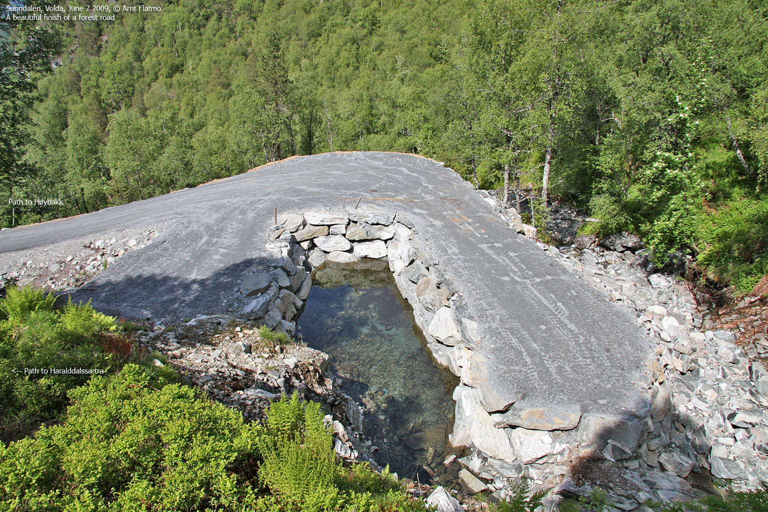
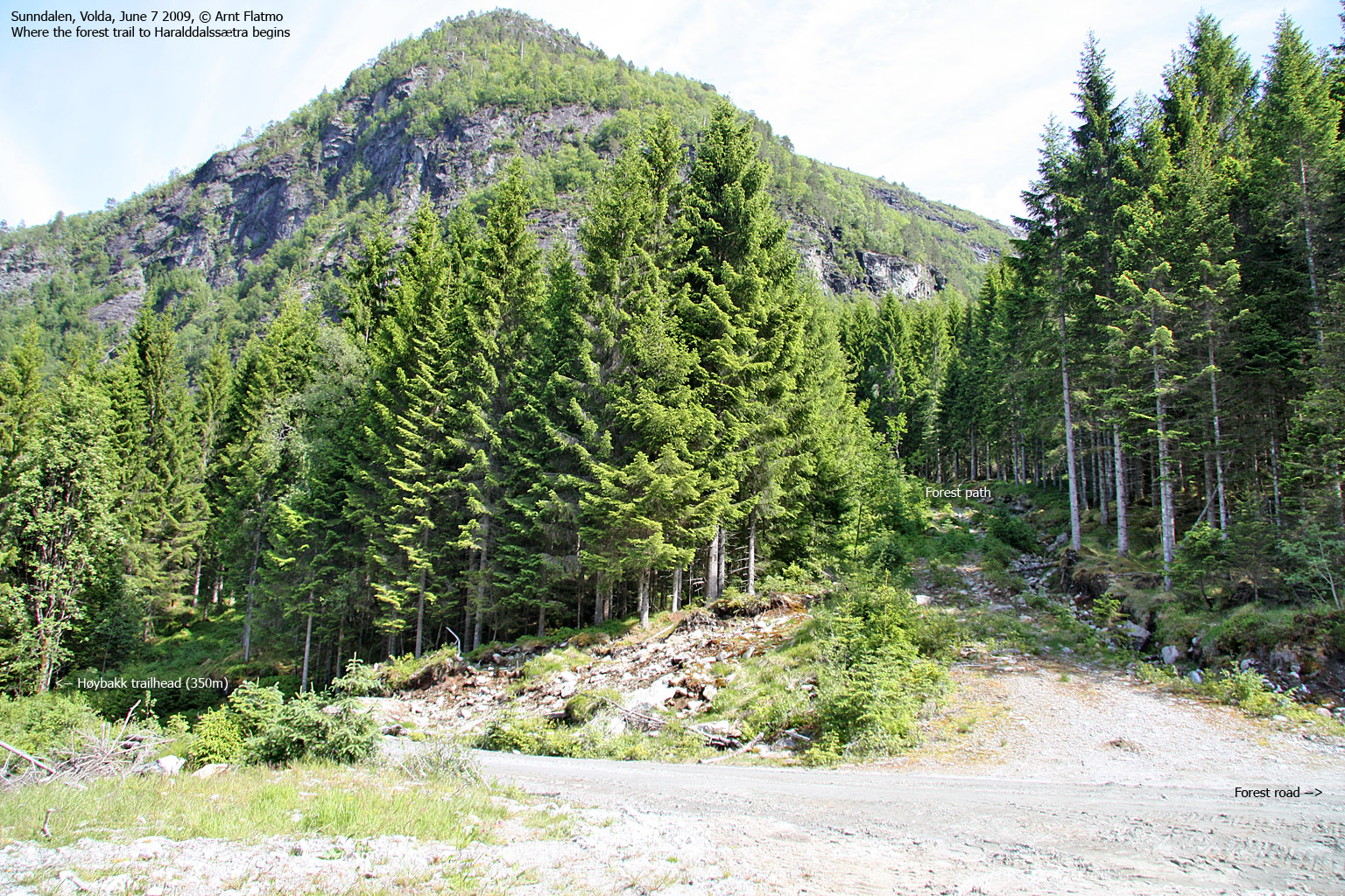
Well on the way to .. somewhere, I decided to take a look at the GPS when I noticed that another forest road forked to the left. It turned out that I was heading in the wrong direction. I was supposed to be on my way to Haralddalssætra, but I was actually on my way to Sunndalssætra (there is a certain difference..). It seemed clear that this branch would bring me in the right direction, and it did. At 340m elevation, the road ended and I found the path to Haralddalssætra.

Haralddalssætra
(Click for larger image)
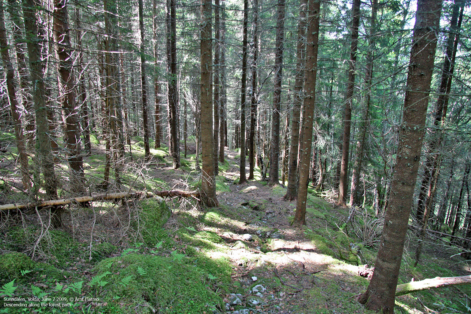
By the river near Haralddalssætra, I discovered a path up the mountain. I lost it after a little while, but it didn't matter much. The terrain didn't require a path, and the direction was obvious. I arrived on the summit 1:50pm - 1h:40m after heading out. After the usual pictures, I headed northwest for better pictures of the Fyrde region. Then I followed a route parallel to my ascent route down to Haralddalssætra. It was a cloudy day, but the weather was just great. And the sky was very, very cool.

Very cool sky
(Click for larger image)
I followed the forest path back to the forest road, then continued along this forest path (and the river) instead of walking along the forest road. The path joined the road just a few minutes away from the car, and I ended up behind a family out walking. They gave me very curious looks - where did he come from? And what's up with that axe?
I didn't have time to chat. There was a a nice car drive awaiting, and it didn't involve a car roof...


