
For Information, maps, trailhead and route descriptions, click HERE.
Fairly wet after having visited Åsnakken in Vestnes on this rainy Sunday, I arrived Fylling, looking for a way to get to Høgåsen in a convenient manner. The original plan was to hike Høgåsen from the west (Kassneset) and descend to Fylling. I drove in that direction, but got the feeling that either the road had ended, or I would have to drive through someone's backyard in order to continue. I turned around and drove back to Fylling.
The rain was pouring down. I looked at my (wet) dog "Troll", who had found himself a very comfortable position - the perfect circle where nose and butt are in close contact - and I decided to leave him in the car. I noticed the road entering the forest and found a place to park along the road.
I left the car 12:12PM and followed a forest path/tractor road that took me up to the forest ridge. After a short section on a vague path, I reached what I believed was the high point. I noticed another tractor road ahead of me. This one apparently came from Brune, and I decided to follow it down. The tractor road also descended on the north side, possibly going all the way down towards Engset.
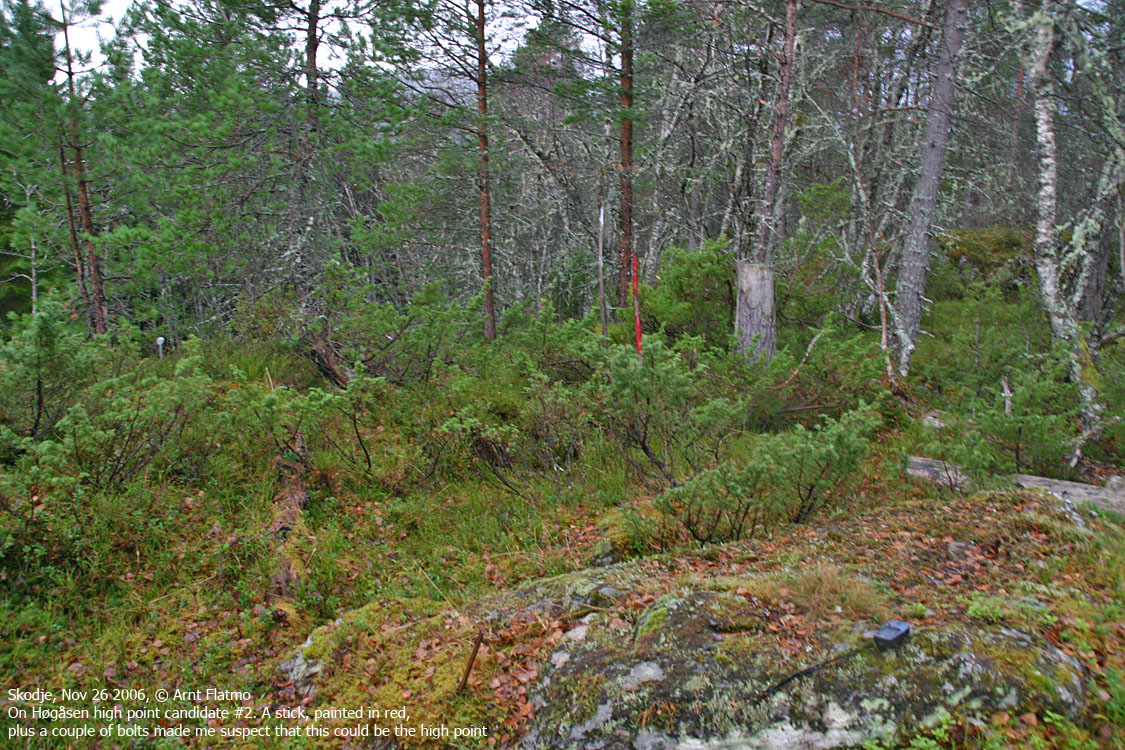
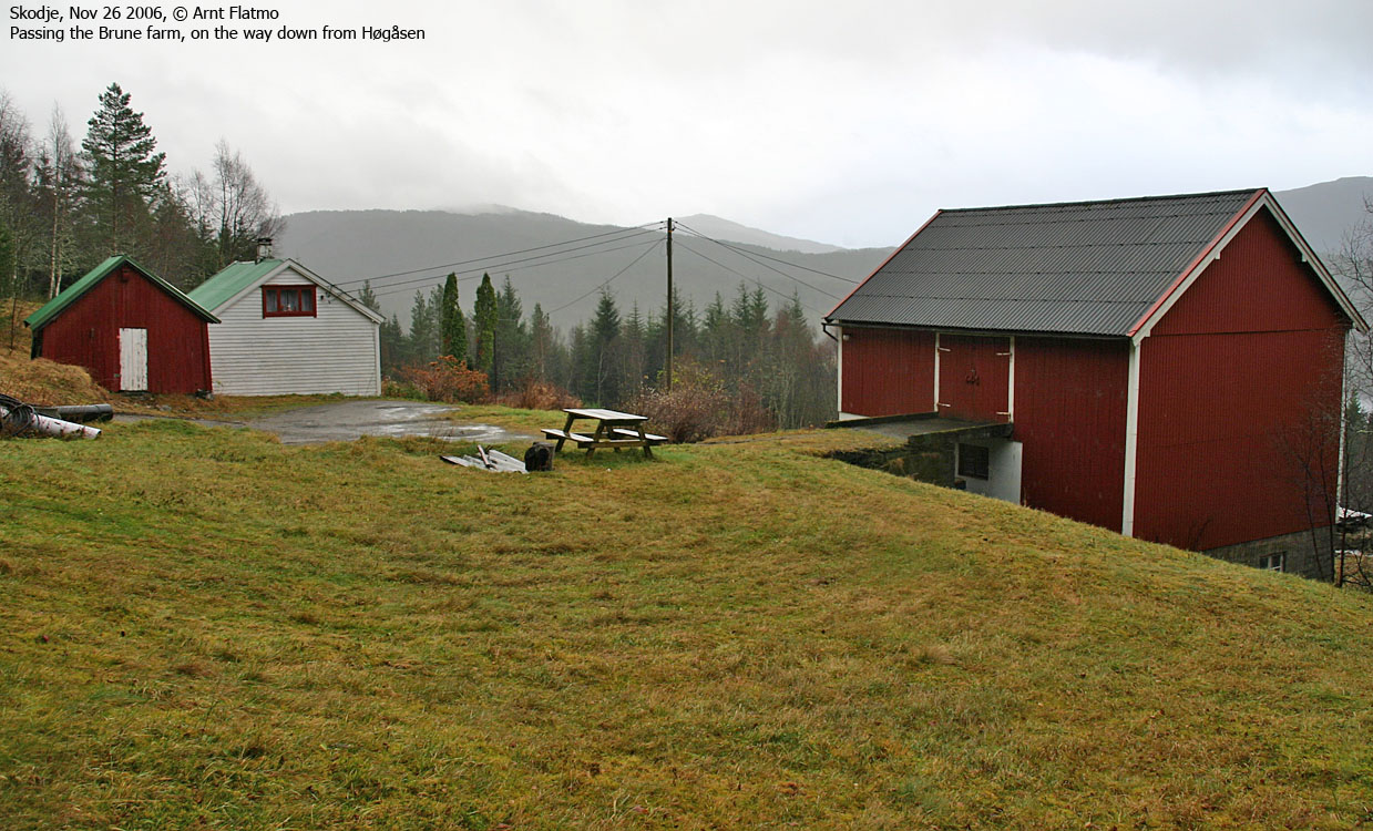
As I left the high point (12:30PM), I noticed two other possible high points on the other side of the tractor road. I visted them both. One of them had a pole painted in red and a couple of bolts. I nominated this point as the official high point. Back on the tractor road, I found a mailbox with an old logbook. The book was ruined by rain, but I could see that it was put there in 1991, and hadn't been written in since 2001. I then descended the tractor road to the southeast, which took me to Nedre Brune. By 12:44PM, I was back at the car, ready for the last forest hill for the day - Vassberget - only a few minutes drive to the south.
Pictures are shown in sequential order


No Javascript:
 westcoastpeaks.com
Other Møre & Romsdal mountains
Other Norwegian mountains
westcoastpeaks.com
Other Møre & Romsdal mountains
Other Norwegian mountains