
Norwegian Mountains, Sogn og Fjordane
Høgehaug on skis in a white-out, Mar 20 2010
To the main Blåfjellet page (maps, route descriptions, other trip reports, etc.)

Høgehaug seen from Blåfjellet
(Click for larger image)
A period with heavy rain followed a period with heavy snowfall, and skiing in the Norwegian mountains was not only very strenuous, it was also very dangerous. The avalanche danger was for real all around, and had to be taken quite seriously. The plan for this Saturday was Helleberget (980m) - a fairly straightforward ski-trip from Hodlekve in Sogndalsdalen. We could hope for tracks up from Hodlekve (our descent route from Blåfjellet in February), but we expected deep snow when it was time to set the course straight for Helleberget.
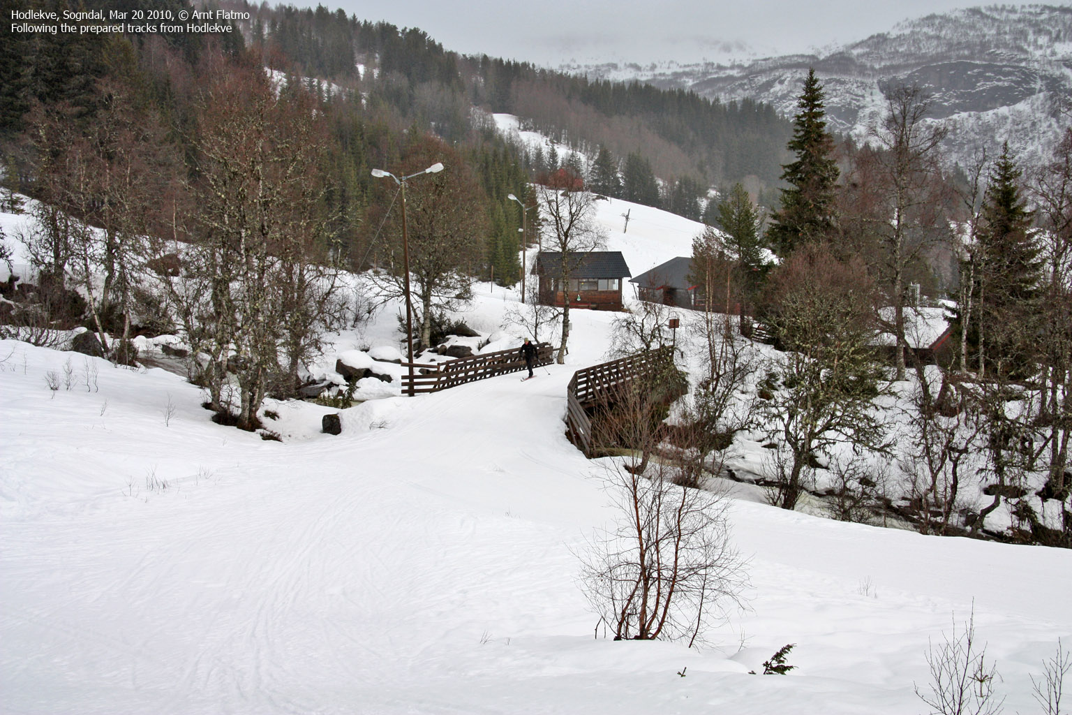
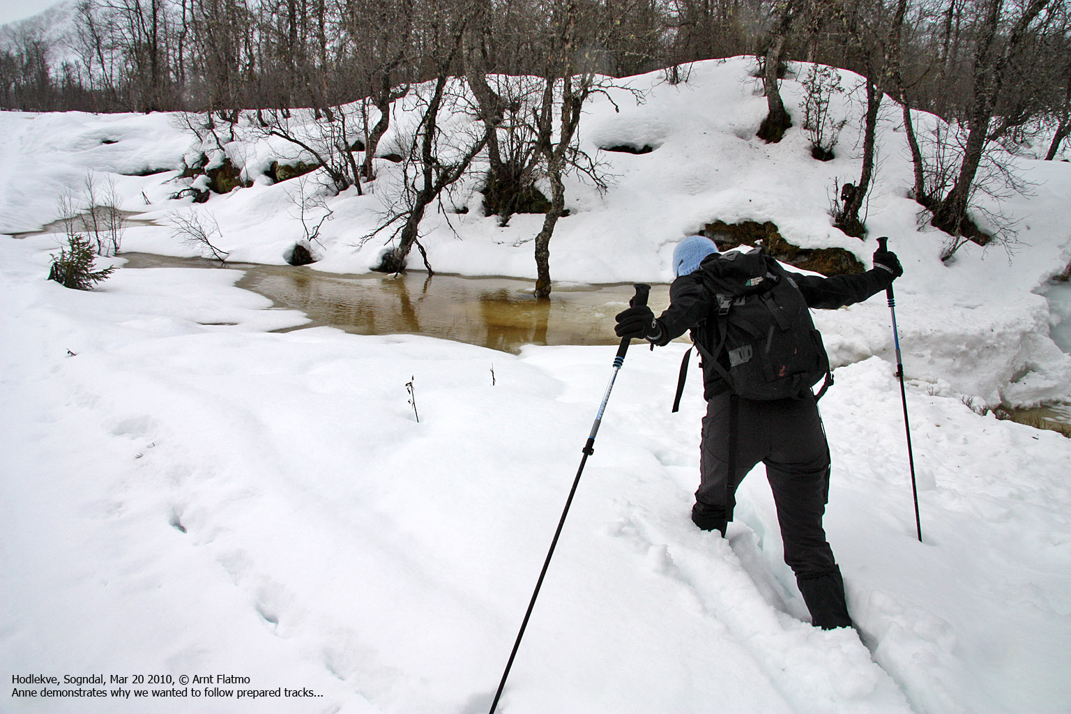
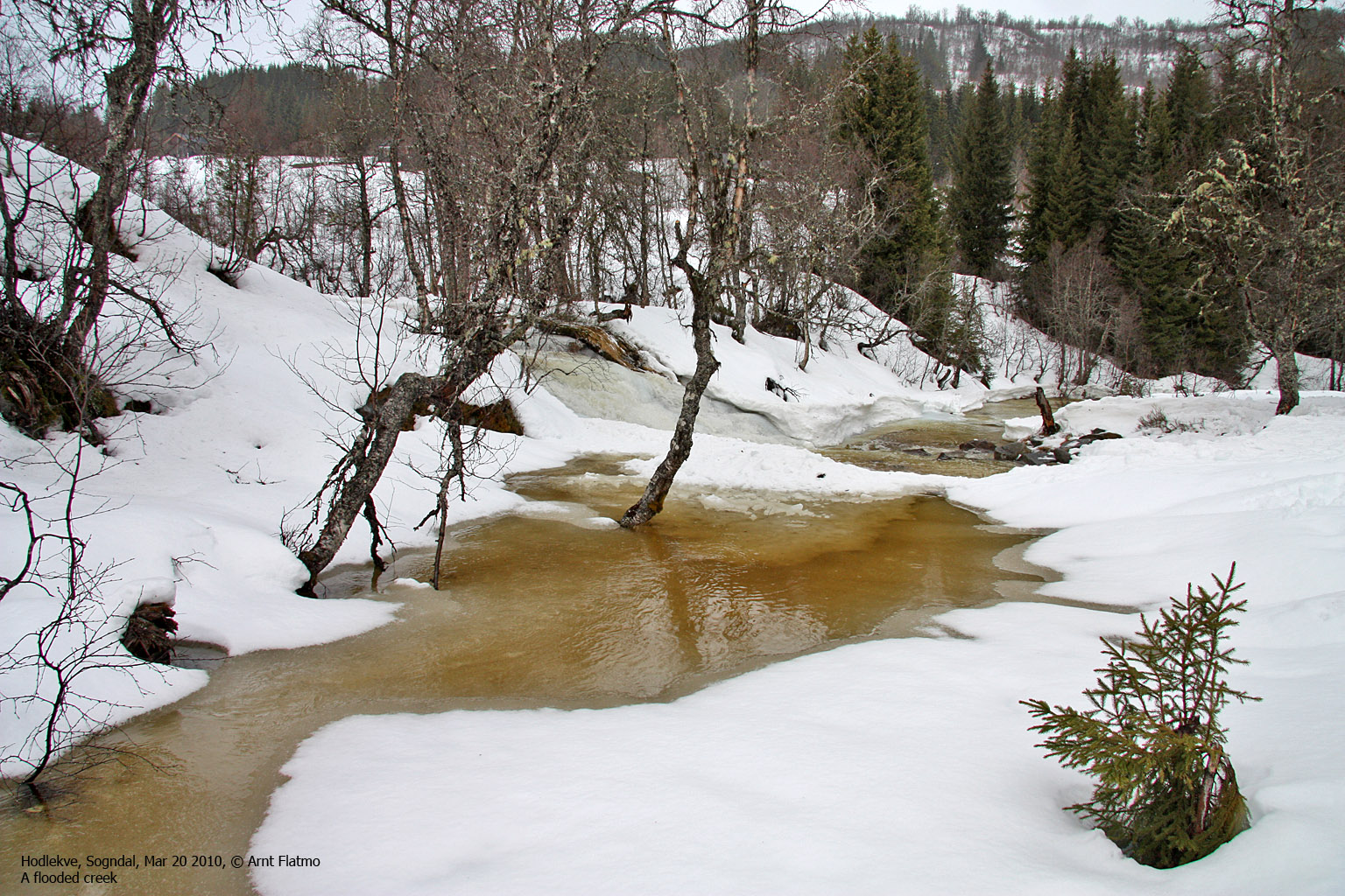
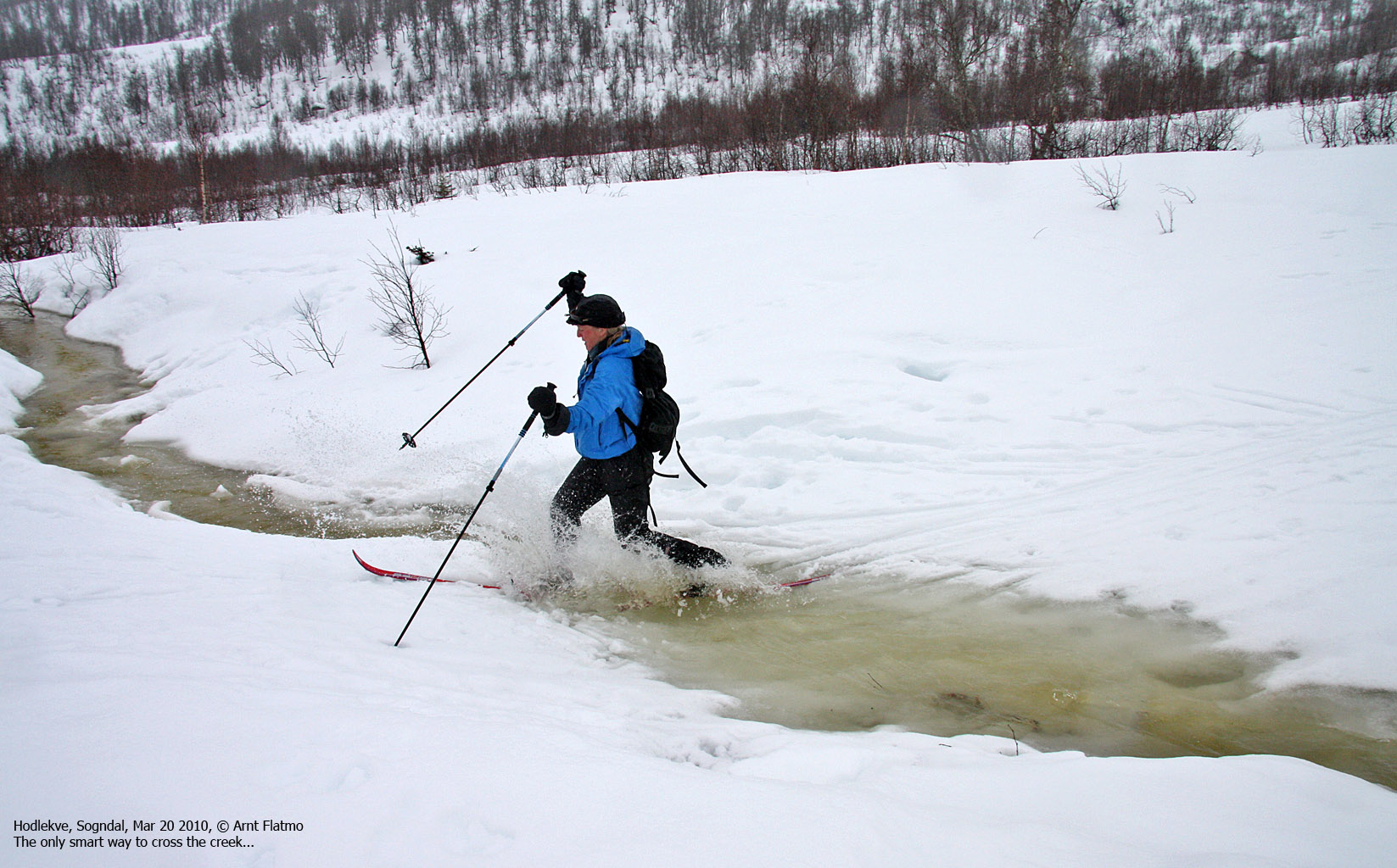
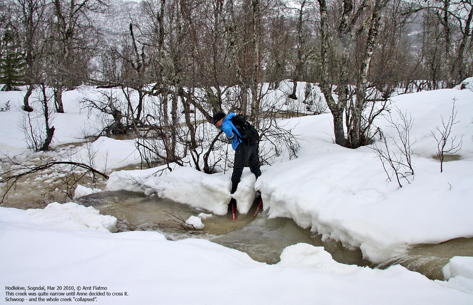
We (Anne Rudsengen and me) headed out from Hodlekve (520m) 11:15am, just after another skier, and followed his tracks up the valley. The rain (and snowmelt) had turned creeks into small rivers, and creek crossing became an interesting event...

Creek crossing
(Click for larger image)
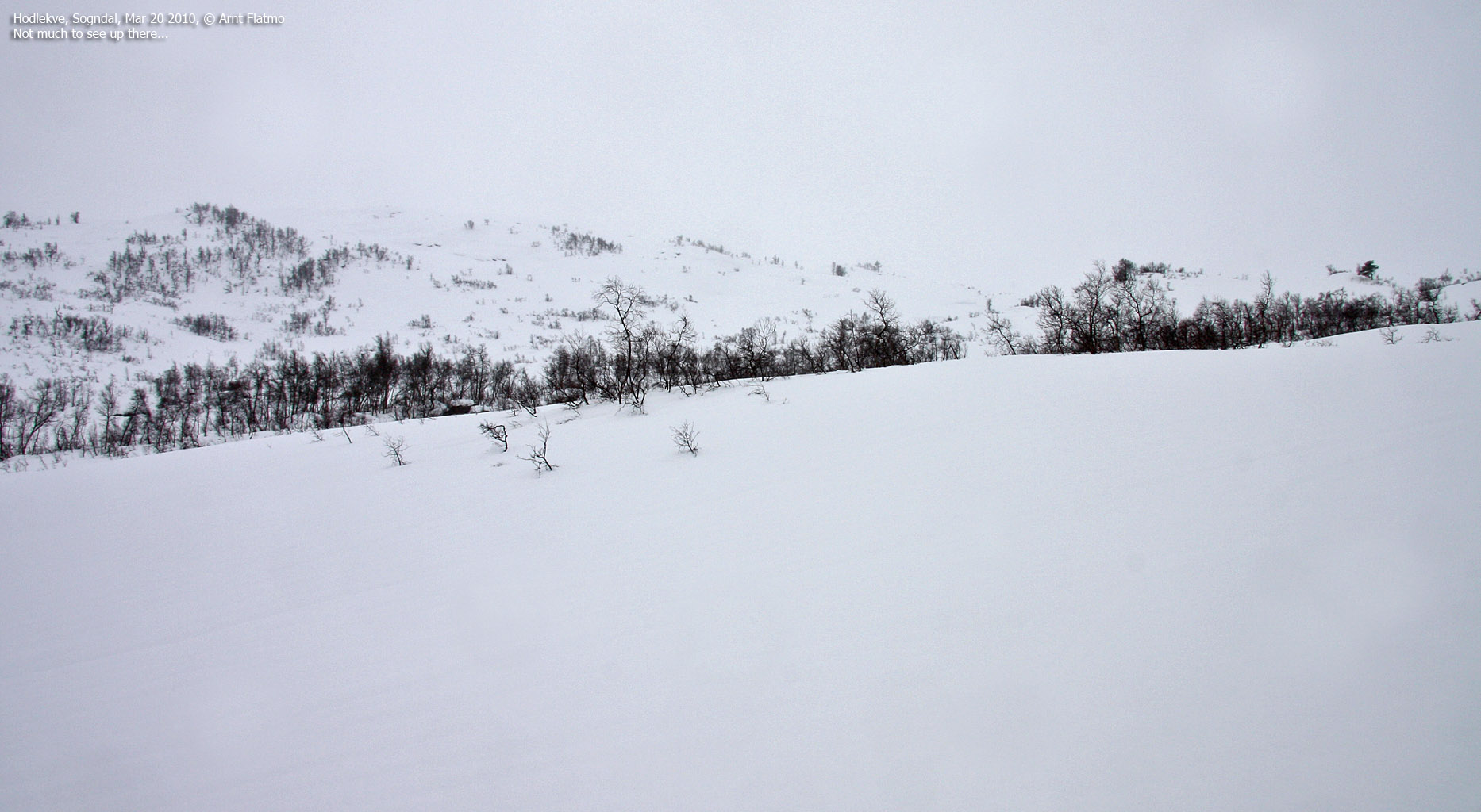
At 770m, we turned south - in the direction of Helleberget. Already after skiing 300m, it became clear that Helleberget would be close to impossible to reach. The snow not only didn't carry our weight, it collapsed all around us. Ahead of us (in the distance) was Helleberget's north side, which just seemed to steep to take on - given the avalanche danger. We agreed to continue skiing towards Høgehaug - although not a peak or mountain - at least a named point.

Very, very strenuous stuff
(Click for larger image)
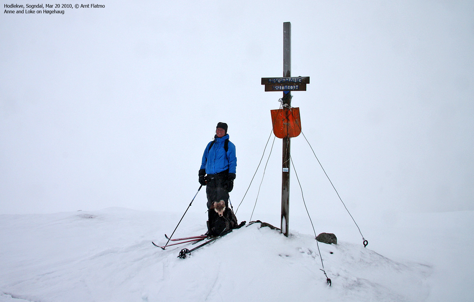
Passing 900m, visibility was close to zero and every small cornice seemed like a huge mountain. Because of the wind, we got a glimpse of a rock ahead every now and then, and could proceed carefully up the valley. The other skier had turned around just ahead of us, so there were no more tracks to follow. After a little while, we noticed sticks - going in the direction of Høgehaug. And by 1:38pm - we were standing below the summit marker, quite happy about having (at least) reached a named point.

On Høgehaug
(Click for larger image)
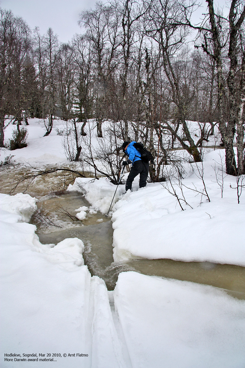
The descent was easy, as we could follow our tracks down from Høgehaug. Crossing the creek was much more fun in speed, and inspired by this creek crossing, Anne wanted more of the same stuff. She crossed another (quite optional) small creek just above Hodlekve, and the snow immediately collapsed all around her. The sight of her clinging to a tree reminded me of a cat - stranded high up in a tree. I couldn't help but laughing. There was however no need to call the fire brigade, as she rescued herself.

Dumb, dumber...
(Click for larger image)
We returned to Hodlekve 2:31pm - 3h:15m after heading out. Despite the miserable weather and snow conditions, we managed to turn the ski-trip into a quite memorable one. And in the end, that's what it's all about...


