
|

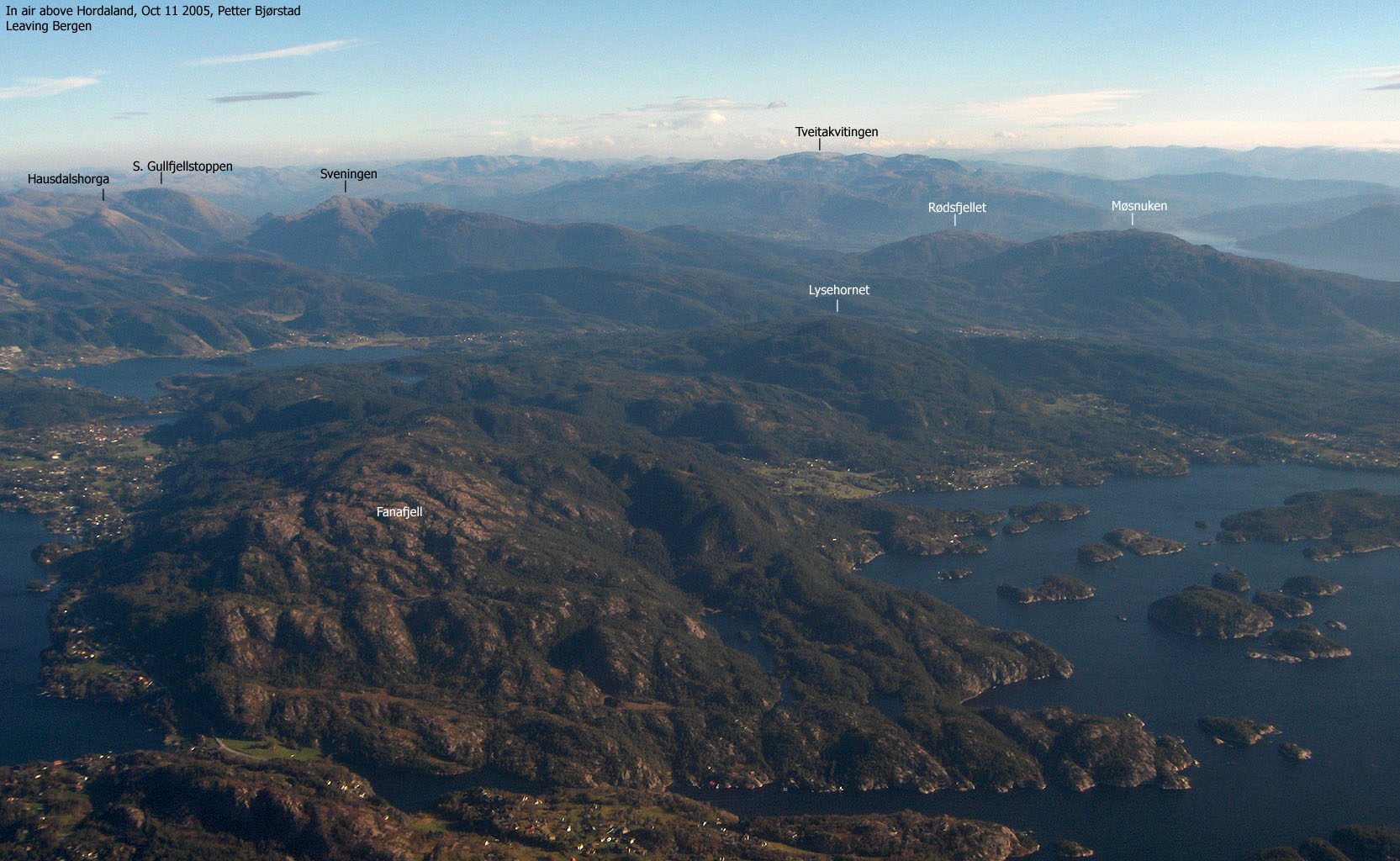
Rødsfjellet seen from the air(No Javascript) |
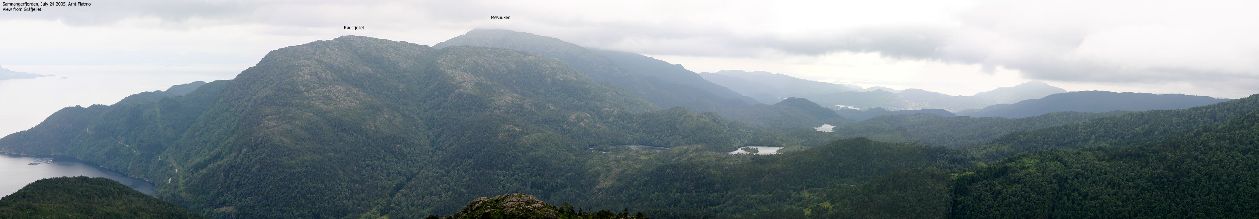
Rødsfjellet is located between the higher Sveningen and Møsnuken mountains, by Hovdasundet strait between Fusafjorden and Samnangerfjorden. The normal routes up the mountain runs from Gåssand (E39) and Gjemdal (Lønningdal road). The routes are marked and "well worn". A round-trip hike from Gjemdal is describe on this page.
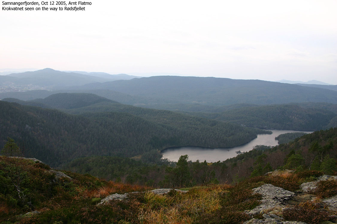
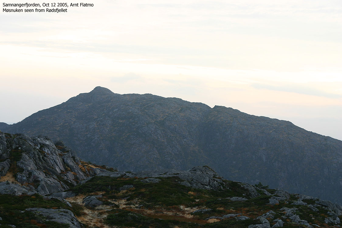
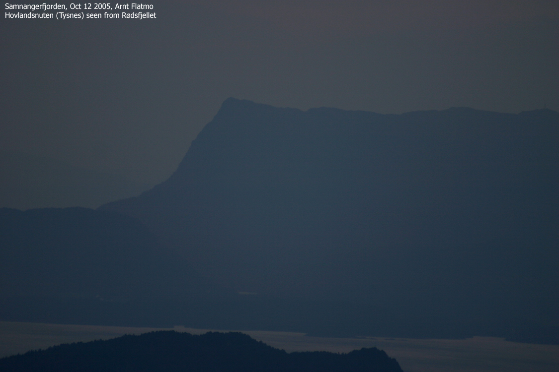
You get good fjord views from Rødsfjellet summit, in addition to many Samnanger, Fusa, Tysnes and Kvinnherad mountains. Towards the west you will also be able to identify the Bergen mountains Lyderhorn, Løvstakken and Ulriken. Sveningen and Møsnuken dominate the views towards the north and south.
Notes: Class ratings are in reference to YDS. Click here for more information.
The trails described below are not necessarily the *easiest* trails to this mountain.
|
Gjemdal - Rødsfjellet round-trip (summer/autumn)
|
|
From the 580/E39 junction (roundabout) at Nesttun outside Bergen, follow E39 18,2Km southbound to Osøyro (follow signs to Eikelandsosen). Turn left in the main junction in Osøyro and follow highway RV562 1,3Km. Turn left towards "Lønningdal" and follow this road 8,2Km. Find parking on the right-hand side of the road at the beginning of a S-curve. 50m ahead you see the "Rødsfjellet" trailsign on the right-hand side of the road.
This is the shortest route from Bergen, but it might be just as fast to drive via Trengereid.
Ascent
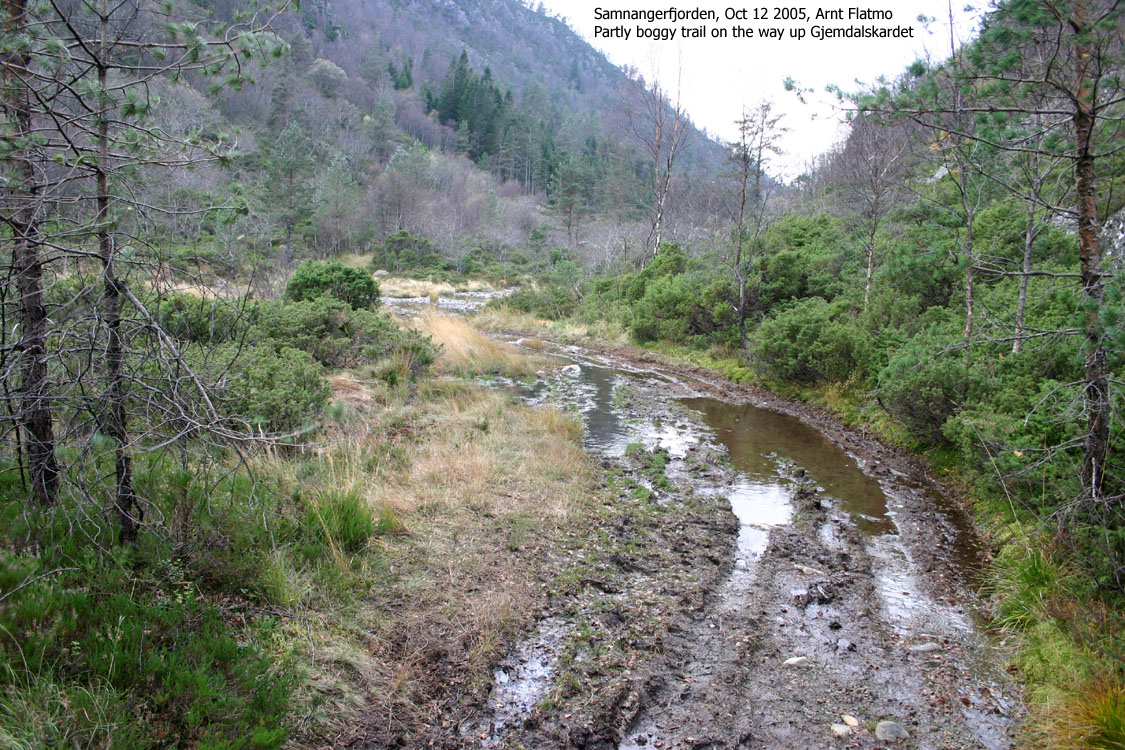
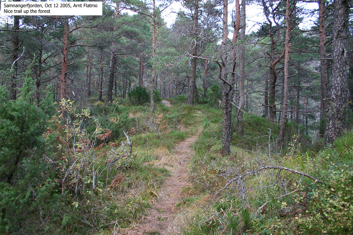
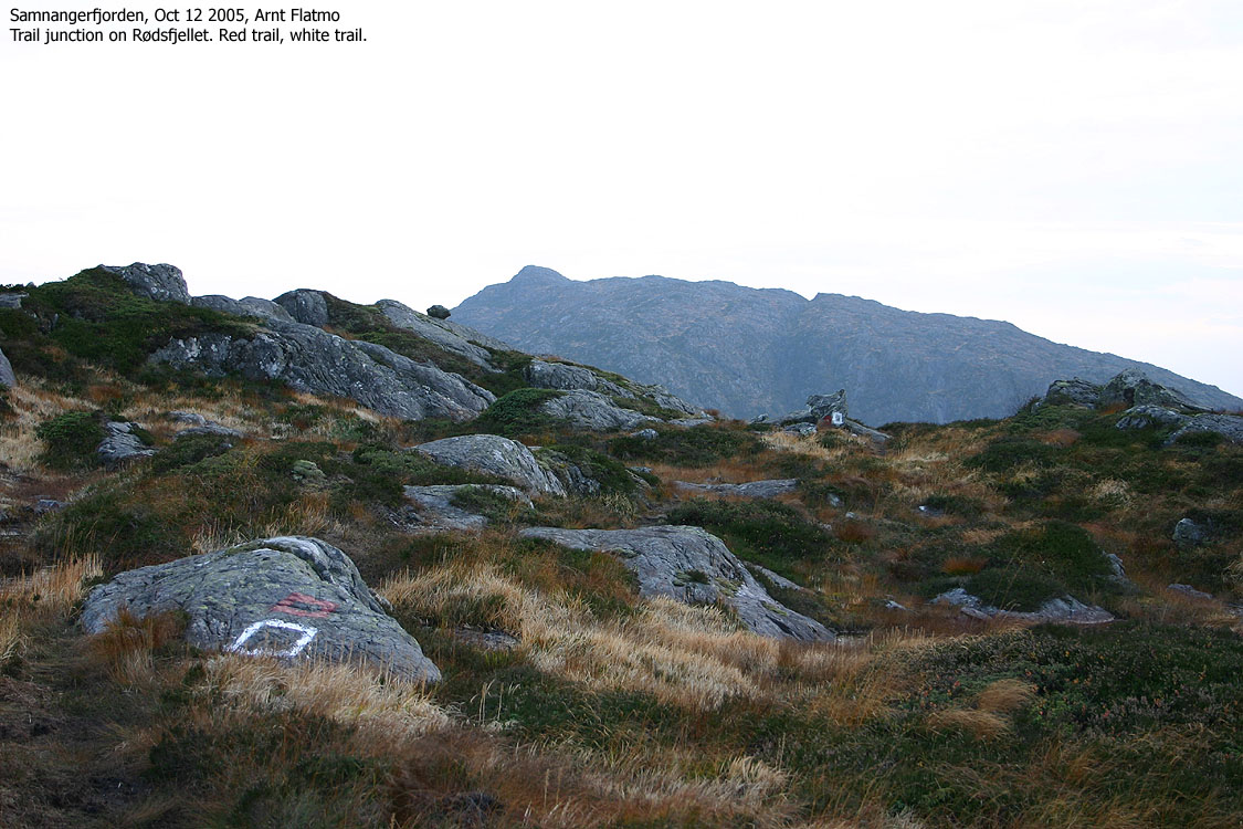
The trail begins on the left-hand side of the road, opposite the "Rødsfjellet" trailsign. The trail forks immediately. Continue straight ahead and follow the forest trail towards Gjemdalskaret. At 210m elevation, pass "Rute A" (marked in red paint) trail junction and continue in the valley you are in. At 240m elevation, 700-800m up the valley, turn right onto "Rute B" (marked in white paint).
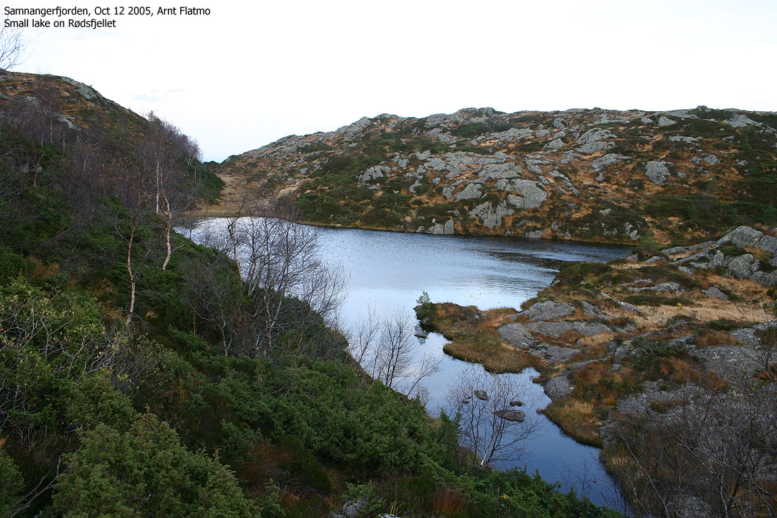
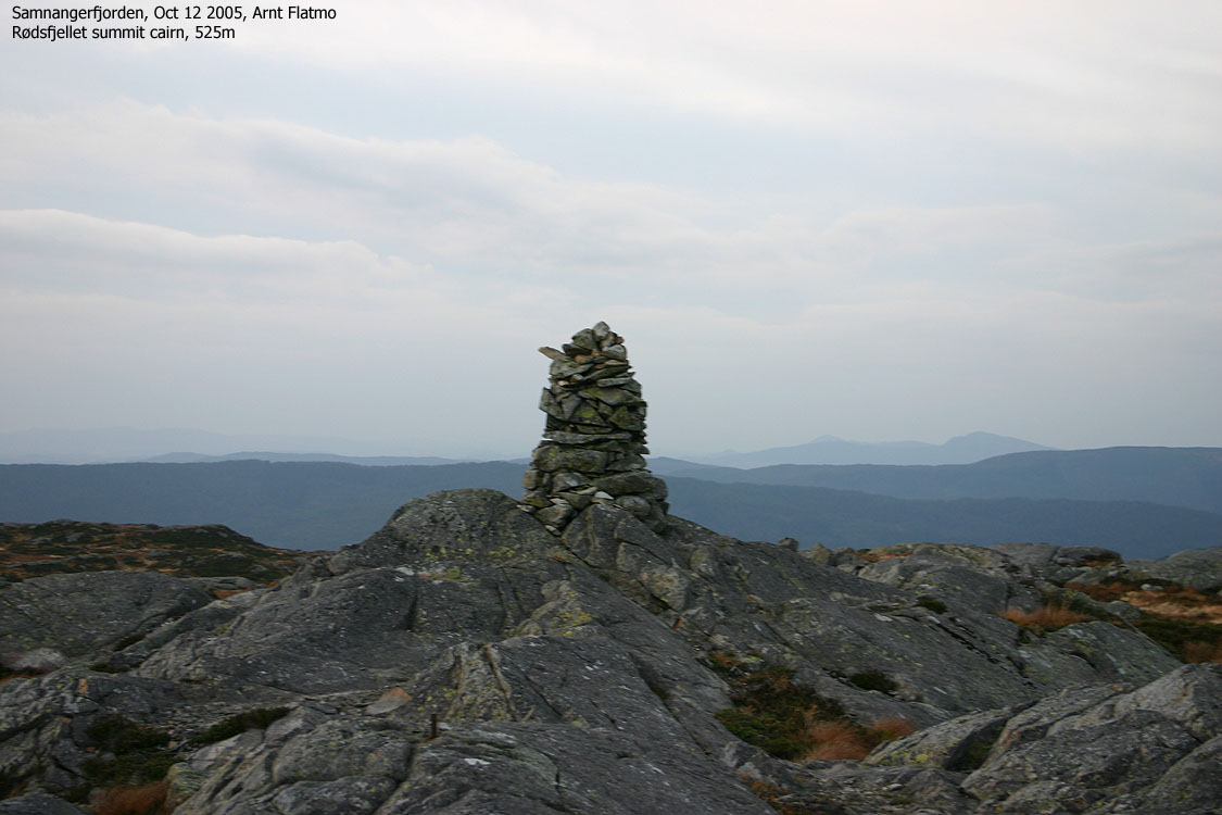
The trail climbs up a forest ridge and passes through birch and pine forest. The trail is boggy at first, but nice in the forest. When you reach the lakes (approx. 450m elev.) the trail runs on the south side and directly towards the forest. You will pass the red/white trail junction on your way to the summit. The summit is marked by a proper cairn and you will find a visitor register in a mailbox nearby.
Descent
Head back to the red/white trail junction and follow the vague path down Rødsfjellet's south ridge. The paint is less visible on your way across a distinct hump (460m contour), but just continue across it. Follow the ridge down to 360m elevation where the trail turns northwest and descends into the valley down to your right. Once in the forest, the trail becomes quite visible (and boggy after rain) and is easy to follow back to the main forest trail from Gjemdal.
|
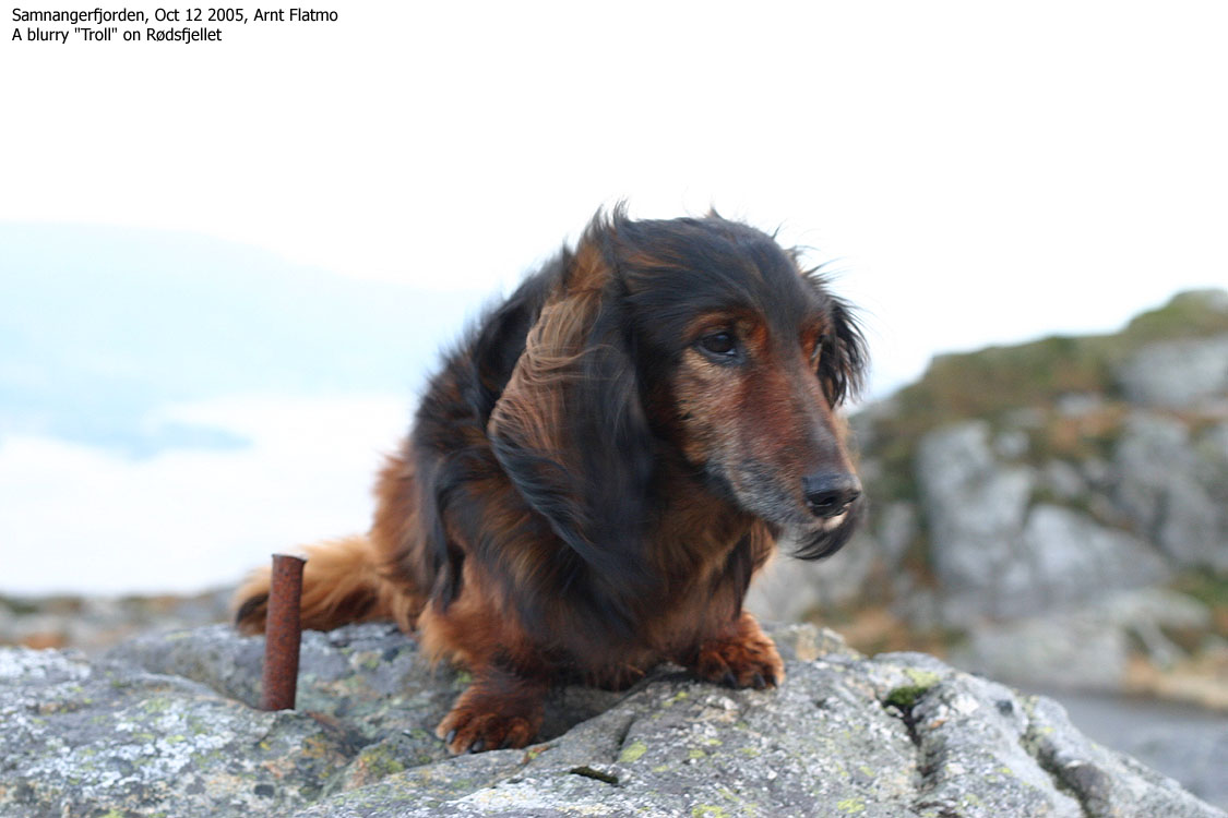
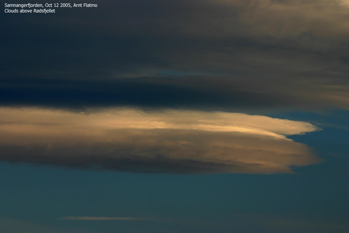
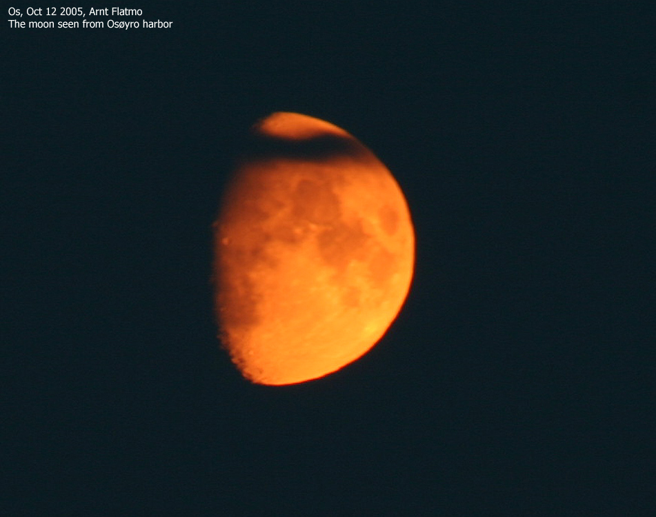
Only a couple of hours with daylight after work this Wednesday afternoon, but enough for a hike up to Rødsfjellet. It had been more than 6 years since I visited this mountain for the first (and only) time, but I remembered the trailhead. Me and my dog "Troll" left the trailhead 16:30PM. The sky had some terrific colors, yet the horizon was extremely hazy. And it was windy, just as it had been most of the week. Troll surprised me by walking all the way up to Gjemdalskaret, where the boggy forest trail discouraged him. I put him in the backpack and followed "Rute B" up the forest. I hadn't eaten anything after work and felt some fatigue. I looked in the "emergency" pocket in the back-pack and found some old, dry bisquits. Once the "engine" was back in "full steam", I hurried towards the top. The sky had some nice clouds and I wanted to photograph them before it got too dark. Troll resumed walking once we reached the lakes (450m) and we arrived the summit 17:40PM. It was very windy, and I had to find shelter behind the summit cairn in order to take photographs. This was an excellent viewpoint, and it was just too bad that the Tysnes mountain only appeared through their contours in the haze. I'd better come back on a sunny day. We left the summit 17:55PM and followed "Rute A" downwards. More paint would do this route good. I didn't remember much from my visit 6 years earlier, but just as I really lost the trail on the south ridge, I remembered that I came up from a valley. I looked further to my right and found the trail again. We were back at the car 18:45PM. Still plenty of daylight left, even if it had turned rather dark in the forest. By the time we reached Os it was totally dark and I got some good shots of the moon.
|
To Rødsfjellet


Summit views


The moon seen from Os


No Javascript:
1 2 3 4 5 6 7 8 9 10 11 12 13 14 15 16 17 18 19 20 21 22 23 24


No Javascript:
 Other hordaland mountains
Other Os K. mountains
westcoastpeaks.com
Other hordaland mountains
Other Os K. mountains
westcoastpeaks.com

