
European mountains
Psiloritis range, Crete, Greece
Mt. Ida (Timios Stavros, 2456m),
Agathias (2424m),
Vouloumenou (2267m),
Kousakas (2211m)
May 9 2010
To the main Psiloritis page (maps, route descriptions, other trip reports, etc.)

The route - as seen in Google Earth
(Click for larger image)
My Crete vacation didn't get a smooth start. After corrupting something in my back after tenting the night before the departure, I arrived Crete with a splitting headache. My travel mate Anne Rudsengen had to assume the role of a chiropractor, and after a series of snaps (good sounds...) I could at least get up from bed the next morning.
Based on the weather forecast, we packed as if we were going on a spring hike in the Norwegian mountains. In addition to the 3 litres of water (each), we carried gaiters, gore-tex jackets, and almost every piece of clothing made from wool. The only items missing were skis, crampons and an ice-axe. There was (obviously) snow in the mountains, and we had read about the Crete winds.
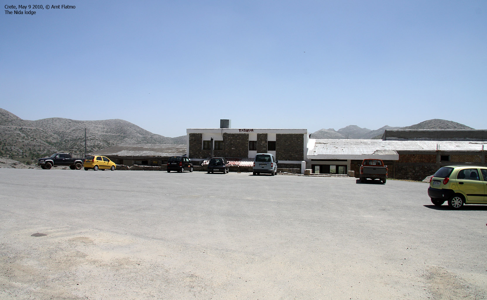
A GPS map that we found on the internet became very convenient for finding the way to the trailhead. We quickly had to adapt to the Crete driving culture (which is VERY different than the Norwegian...). After just one small navigational error, we located the old road (that's the name...) and found the way up to the Nida lodge without any further problems.
Well-equipped as we were, the weather suggested light clothing, and after a round with sunscreen, we were on our way - 12:25am.

Heading out from the Nida lodge
(Click for larger image)
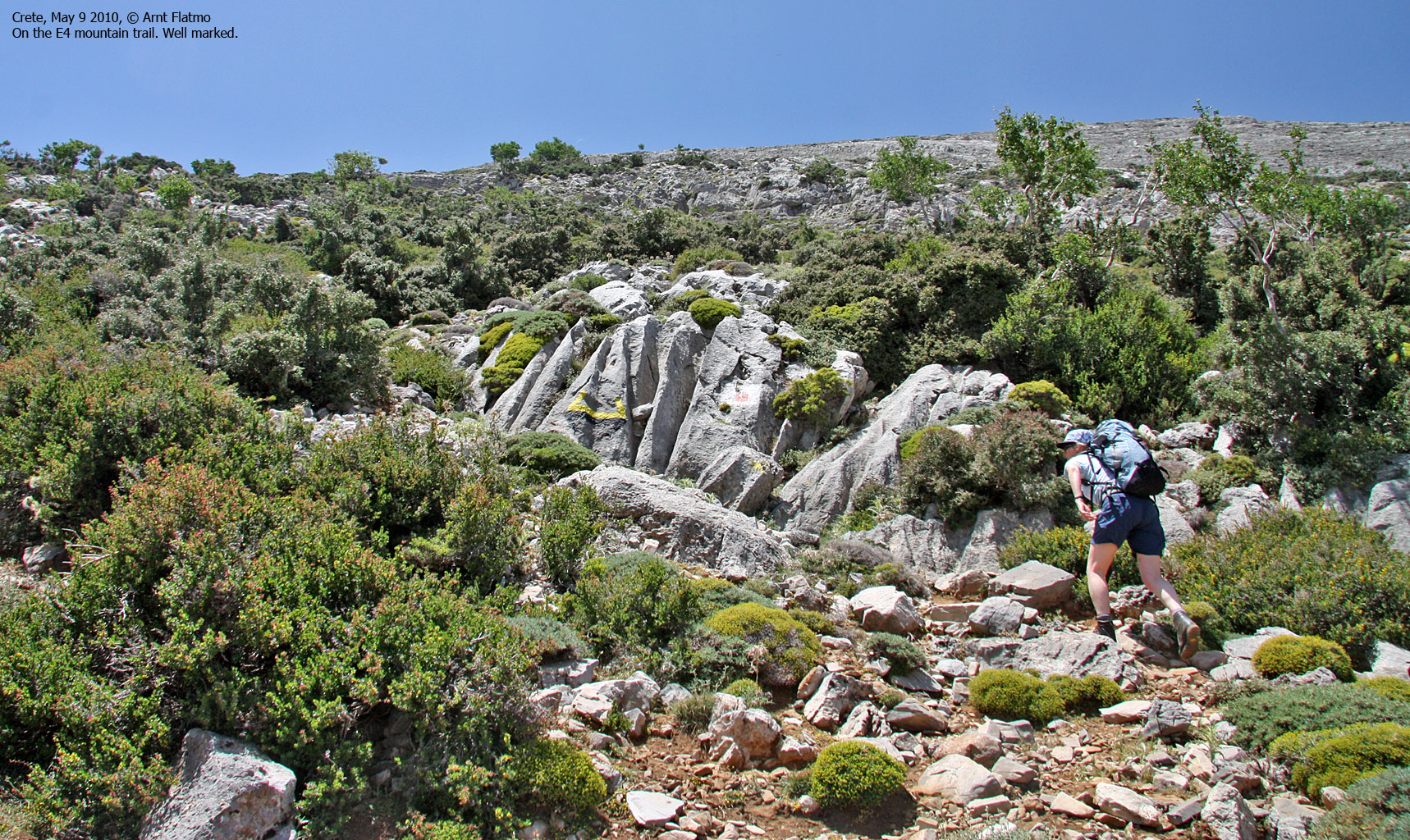
After following the dirt road for a little while, we located the E4 trail and headed up the mountainside. It didn't take long before the headache came crawling back. I knew roughly how far the hike would be, and how many hours it would take. But I tried not to think about it, to prevent myself from getting depressed...
My friend Petter Bjørstad had walked this route 4 years earlier, and his report was useful during our preparations. But now I had a GPS map and a trail that would lead us to the top. Upon arriving the mountain ridge at approx. 1900m, the path seemed to go in a different direction than the GPS suggested. We understood that the trail forked here, and agreed to head north to include Kousakas on our way to Mt. Ida.
As it became apparent that the path we were on would not run across Kousakas, we left the trail at 2050m and headed off-trail up to the summit. The time was 2:18pm when we reached Kousakas - our first 2000m for the day. The headache got 2nd priority. We were peakbagging!!

Arriving on Kousakas
(Click for larger image)
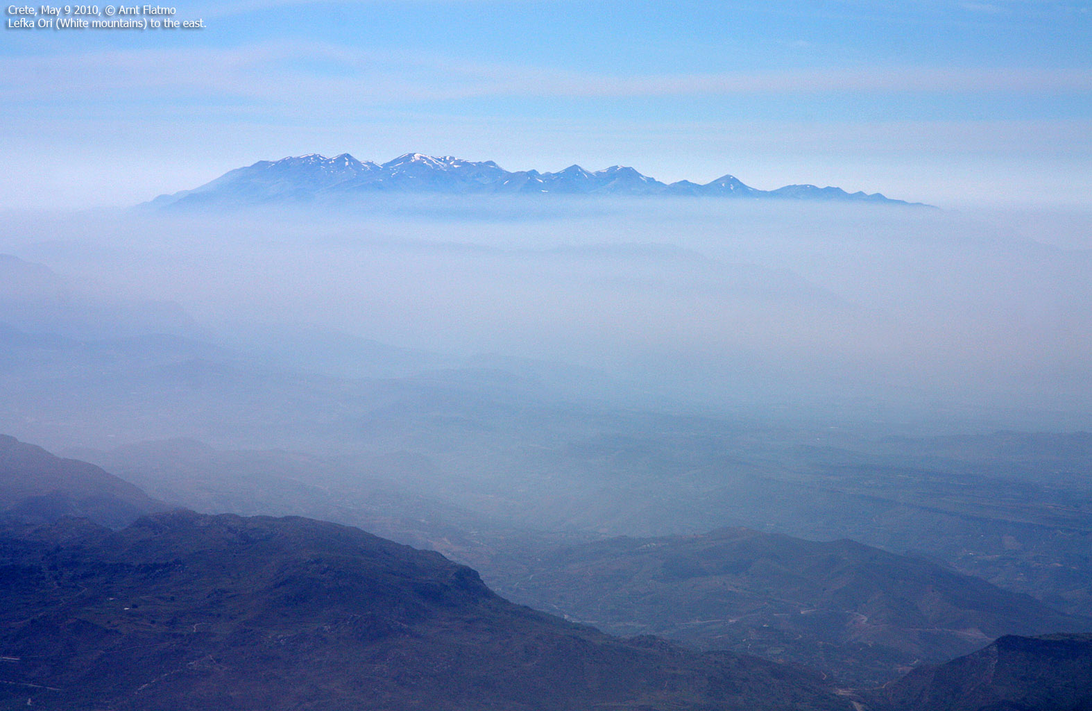
From Kousakas, we descended roughly 100 vertical metres before starting the ascent up to Vouloumenou. Just before the summit, we touched on snow for the first time on the hike. The horizon was hazy, and I had no immediate feeling of anything outside this mountain range. I would have loved a clear view towards Mediterranean sea, but I could always visit the beach later on...
Upon arriving Vouloumenou (3pm), there was no longer any doubt about our target. Mt. Ida's summit was still 2,5km further to the west, but at least we could see it. Morale was good, and the headache still had 2nd priority.
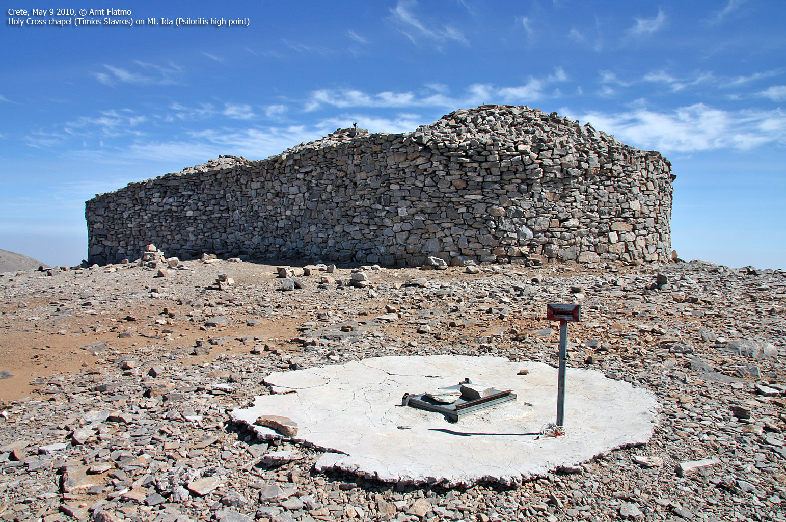
We joined the E4 trail below Agathias, spoke with a (resting) Greek hiker for a little while, then continued up a snowfield that called for some caution. We also saw crampon tracks in the snow. We arrived on Mt. Ida 3:50pm (3,5 hours after heading out), and we had reached the highest point on Crete island. On our first day of hiking! Morale was sky-high and we felt like being on the top of the world.

The Timios Stavros chapel on Mt. Ida
(Click for larger image)
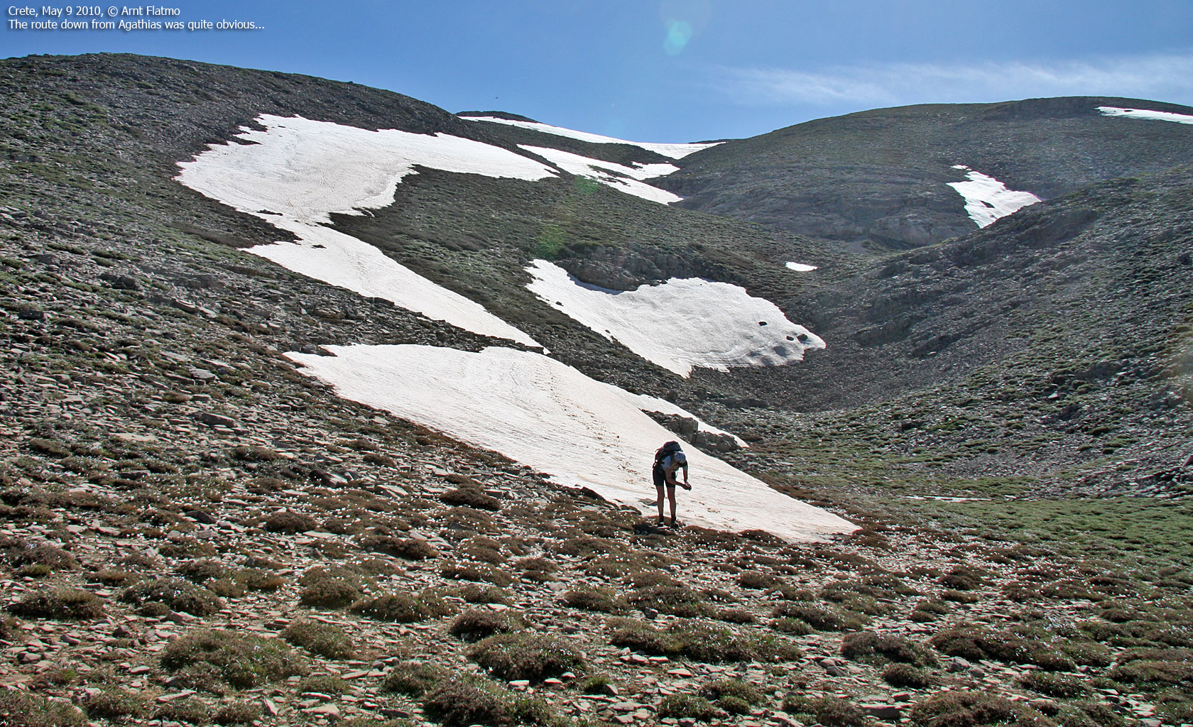
We had already agreed to descend via Agathias - which would be our third 2000m top for the day (we didn't count Vouloumenou as a proper peak). We reached Agathias 4:33pm and looked forward to slide down on the snow slopes on the east side. On our way down the mountain, we passed a huge flock of sheep, and they seemed fairly accustomed to hikers.

Descending from Agathias
(Click for larger image)
Back on the E4 trail, we decided to follow it - mostly in order to get a clear understanding about the normal route up the mountain. We had overall a fairly good pace and quickly caught up with (all of the) descending hikers on our way up to Mt. Ida. The E4 trail was well marked and easy to follow. But it was a bit discomforting that were so far below our ascent route. And sure enough, in the end - a 100 vertical meter ascent up to the ridge was inevitable.
Not only were my feet quite sore by now - the headache was mind wrecking. I had made well sure to get enough to eat and drink, so it was clearly my back that was playing tricks on me. I started looking forward to Anne's chiropractor session later in the afternoon, but first we had to get back home to Platanias.
We arrived at the Nida lodge 6:40pm - 6h:15m after heading out. Anne drove us down from the mountain, and it had turned dark by the time we reached the motorway. I got a moment of clarity and wanted to drive back to Platanias. Mainly to have something else to focus on, and believe me - the Crete motorways require focus after dark! Back at our hotel, Anne applied a serious version of the chest compression technique on my back, and I was OK throughout the rest of my stay on Crete. Many, many thanks to Anne!

Crete sunset
(Click for larger image)


