
Norwegian Mountains, Møre og RomsdalØrnebakken, 25m
Giske
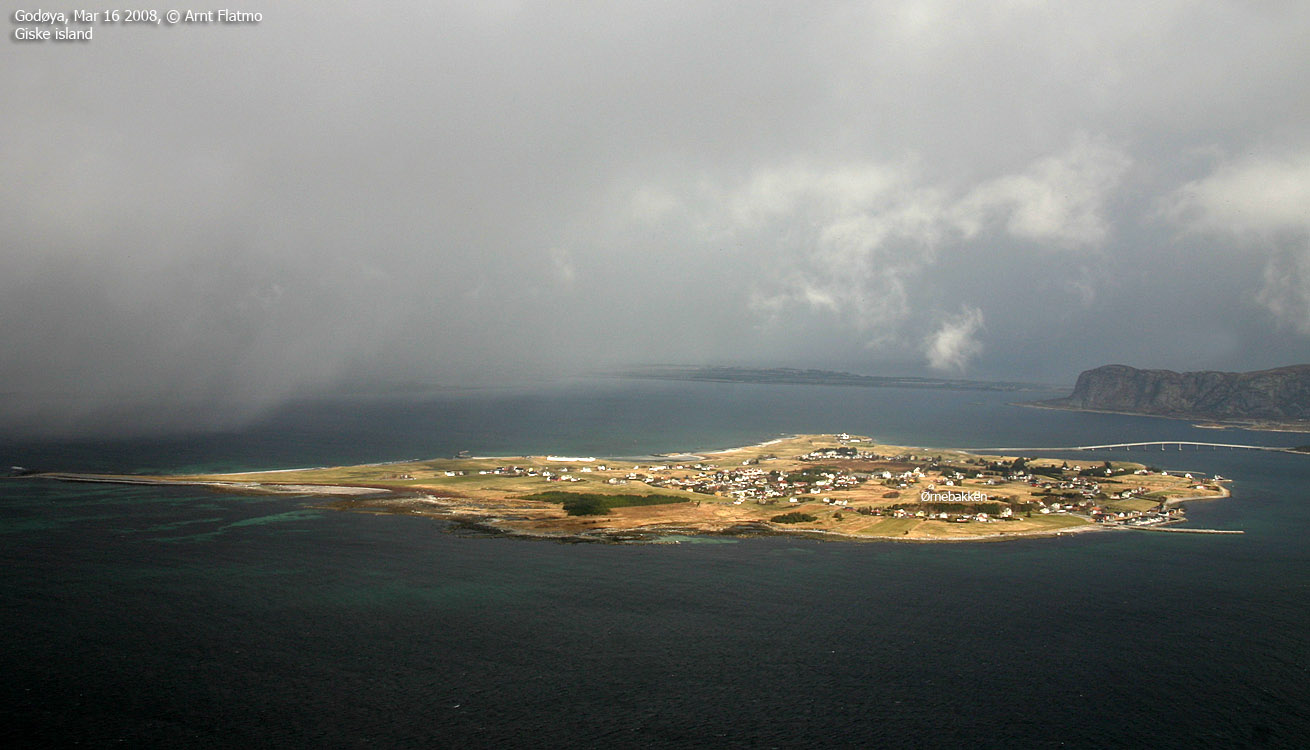
IntroductionGiske island belongs to Giske municipality, and is known for its history back to the Viking age. The island connects to Valderøya through a bridge, and to Godøya through a tunnel. Ørnebakken (25m) is the highest point on this island. Primary factor:Ørnebakken (Norge 1:50,000: 25m, Økonomisk Kartverk: 25,28m, UTM 32 V 347926 6933295) has a primary factor of 25m, being the high point on Giske island. GPS measurement on the ground read 26m, averaged over a 5-minute period (error margin +/- 2m).
Google map
Google's interactive map. You can zoom, pan and click on the
markers.
Trail descriptions
This route description was valid per Sep. 2008. All distances are approx. distances.
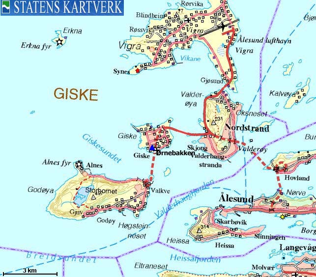
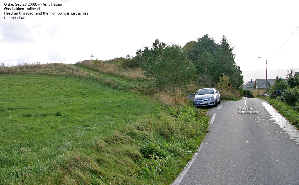
Access Ålesund is the closest larger city. From Ålesund, follow the road to Vigra. Drive through Ellingsøytunnelen, pass a manned toll booth (NOK 60,- for passenger cars per Sep. 2008), continue through Valderøytunnelen, turn left towards Giske (signed). Drive straight ahead at the roundabout, then across the bridge to Giske island. In the upcoming roundabout, turn left (Giske Kyrkje). Drive 400m to the Skulevegen junction. Continue straight ahead. 1,4km later, you pass the church. Continue on this road 400m and look for a tractor road on your right hand side. It's probably OK to park here, unless there is a tractor on the field above. The route Follow the tractor road up to the field above. The high point is 130m to the southeast, but you should follow the outskirts of the field. The high point is marked by an obelisk. As the high point is almost enclosed by trees, one cannot claim that Ørnebakken is one of the finer viewpoints on Giske island.
|


