
Norwegian Mountains, Nordland
Okstindan
Oksskolten, July 19 2009
To the main Oksskolten page (maps, route descriptions, other trip reports, etc.)

Oksskolten
(Click for larger image)
My 2009 summer vacation in Brønnøysund (northern Norway) was coming to an end, and I still hadn't done my number one goal - Oksskolten. If I were to do it this year, I had to do it soon. It had been a truly wonderful summer, and I already had done loads of tops, including Nordre Snøfjellet the day before. I guess I had turned a bit "lazy", and didn't exactly look forward to the long drive. But I finally took the necessary mental grip and made the decision to visit Oksskolten the next day. The weather forecast wasn't the best, but sometimes one just has to take a chance. And when I left Brønnøysund very early the next morning, it seemed that it would be a wonderful day...

Morning fog and a heron
(Click for larger image)
I decided to drive through Hattfjelldal and Sweden, and return via Mo i Rana and Mosjøen. By the time I reached Lake Røssvatnet, it was evident that the weather would stay brilliant all day. Now that the weather issue was history, I looked forward to enjoy the nice Swedish roads (110km/h), but was in for a big surprise; road works! The entire road between Øvre Jovatnet and E12 was filled with the most aggravating gravel you can imagine. Almost 40km at 30-40km/h. Man, was I relieved when I reached the E12 and a s p h a l t.
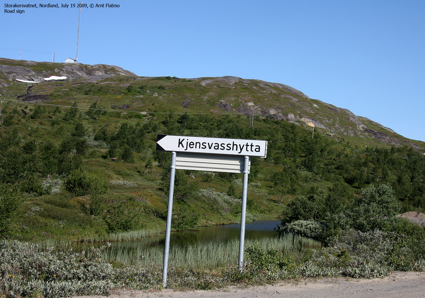
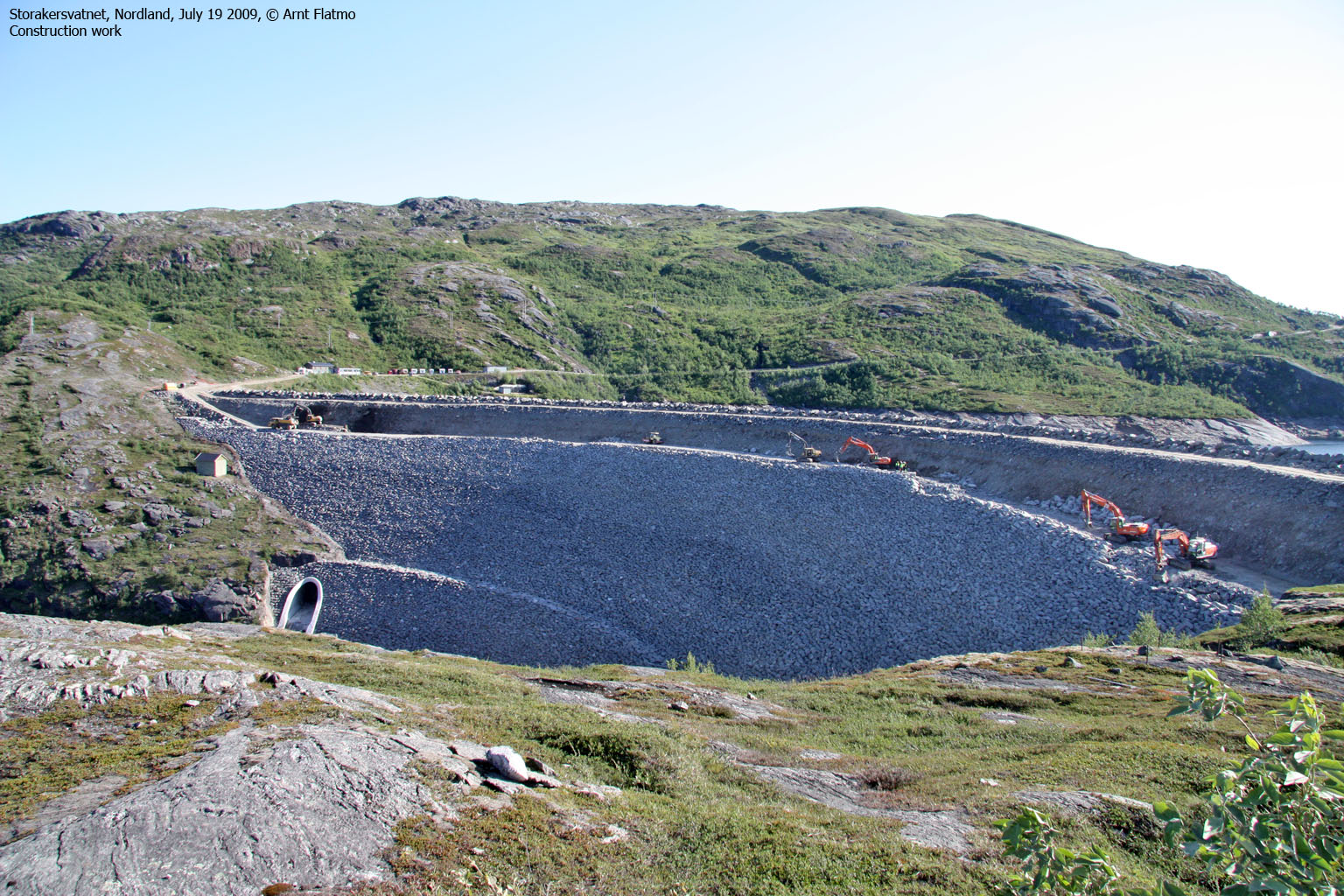
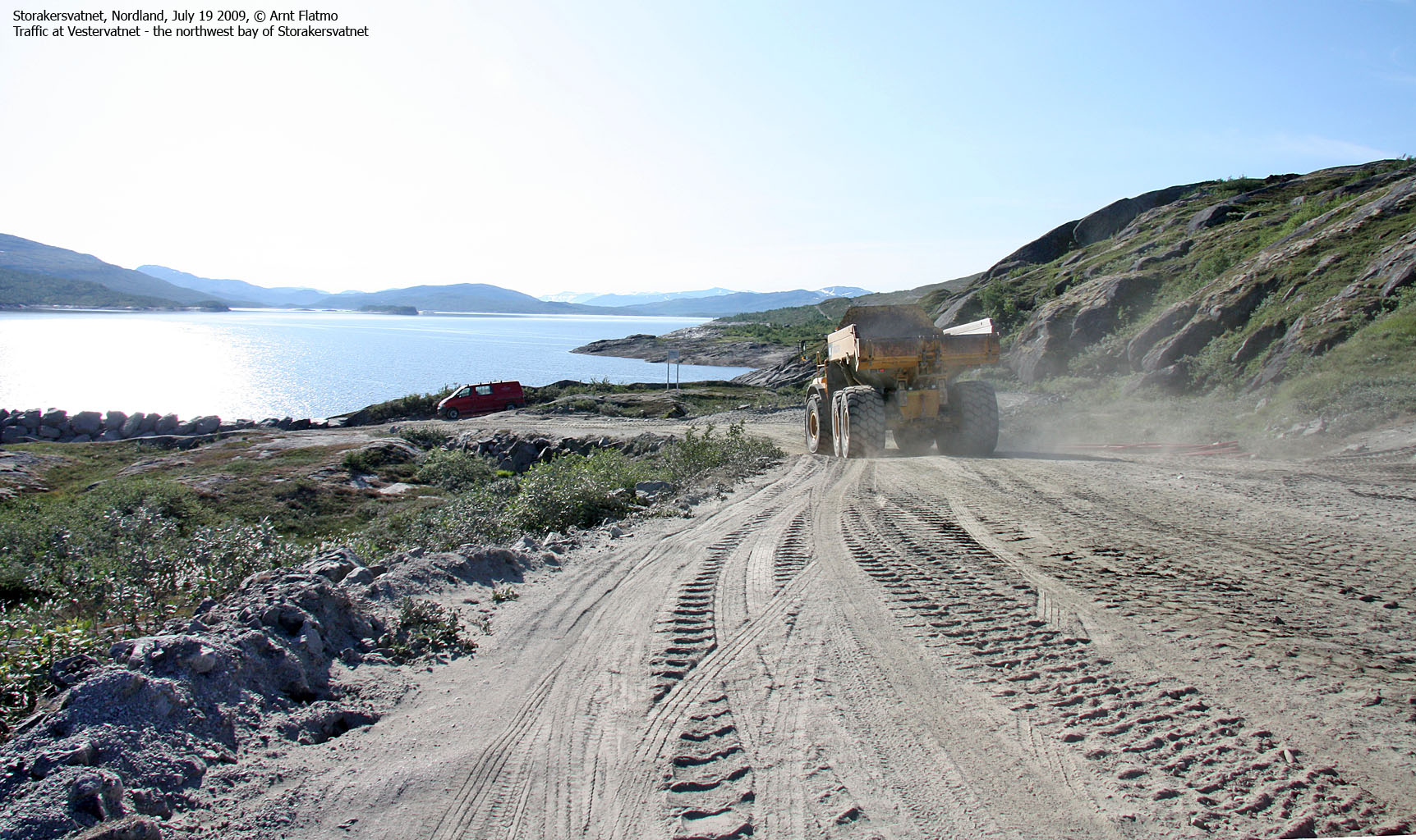
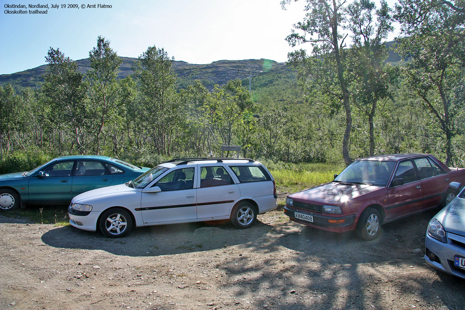
Eventually, I reached Umbukta Fjellstue and turned onto the road along Storakersvatnet. I already knew that there was a long gravel road drive awaiting, but for the first 9km, I could enjoy asphalt. The gravel road wasn't too bad at first, but when I reached the Vestervatnet bay, there was heavy construction work going on at the dam. Huge vehicles were driving to and fro, and the road was much worse here. There was only room for one car at a time across the dam, and I was a bit nervous about meeting one of the monster trucks (guess who would have to back up). But I made it across without any trouble, and could resume driving on the normal gravel road. By the time I reached the trailhead at Laurisbukta, my silver-blue car was grey.

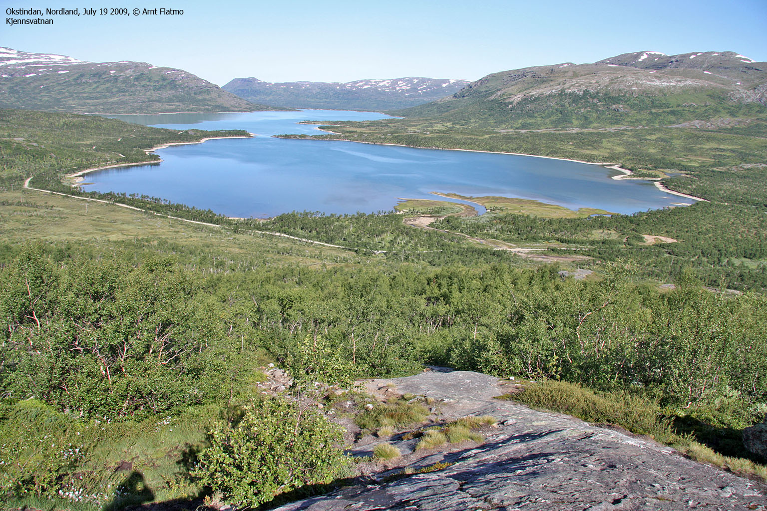
On the way to Oksskolten
(Click for larger image)
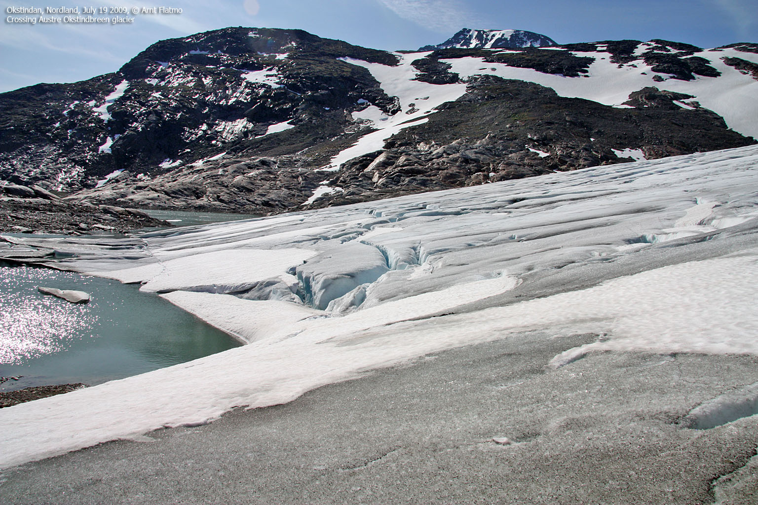
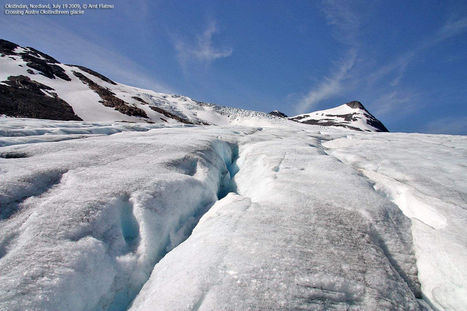
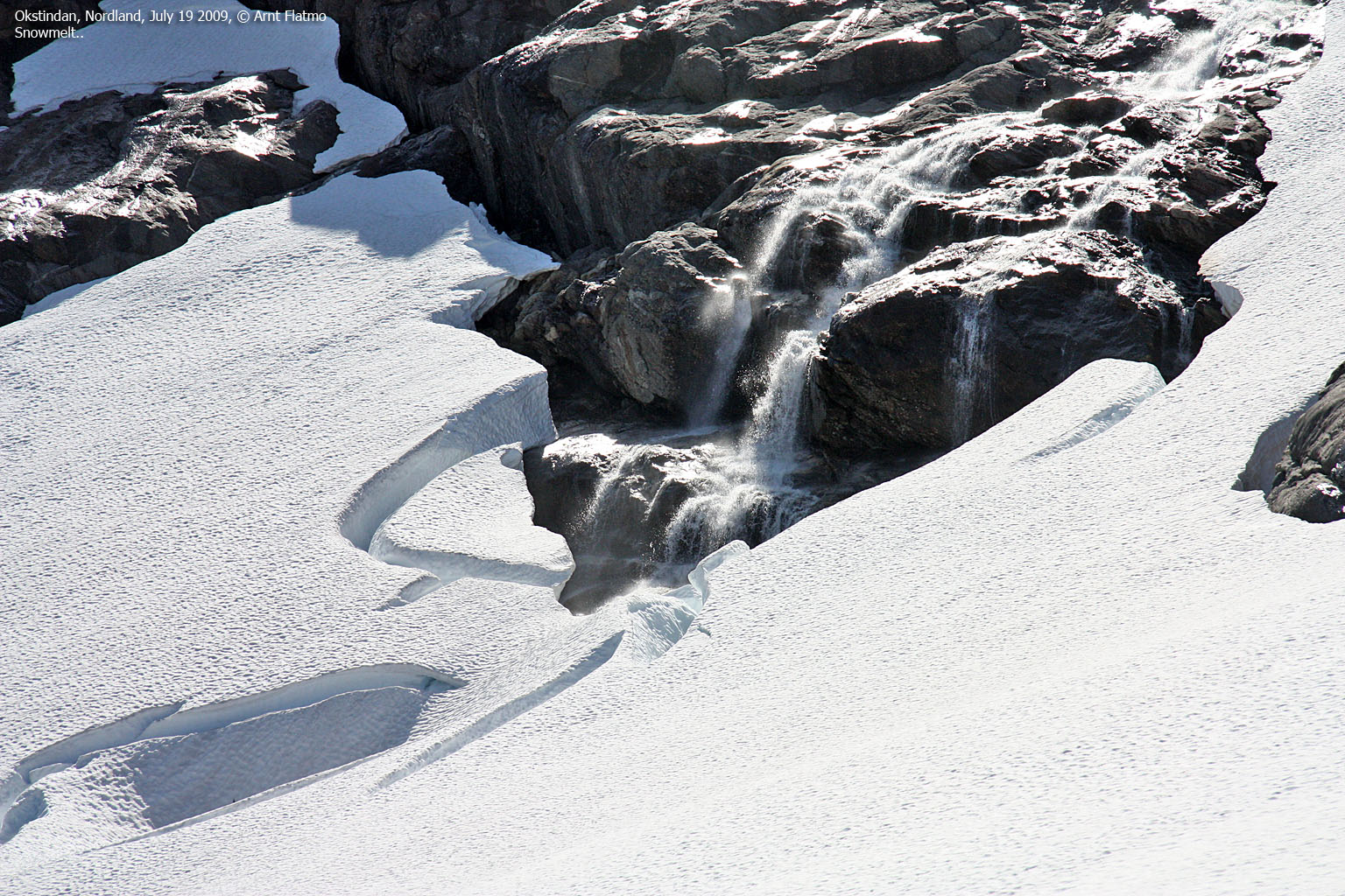
Based on the number of cars at the trailhead, I expected to run into people during the hike. 9:37am, I was on my way up the mountain, along a well-worn and marked trail. When I arrived on the first plateau, I went straight in the direction of the glacier, but I couldn't get down to it. The combination of steep cliffs and sand/gravel wasn't a good one, so I continued down to the glacier tongue and settled for a crossing there. I put my crampons on and found an easy route in-between the crevasses (which didn't seem to be that deep).
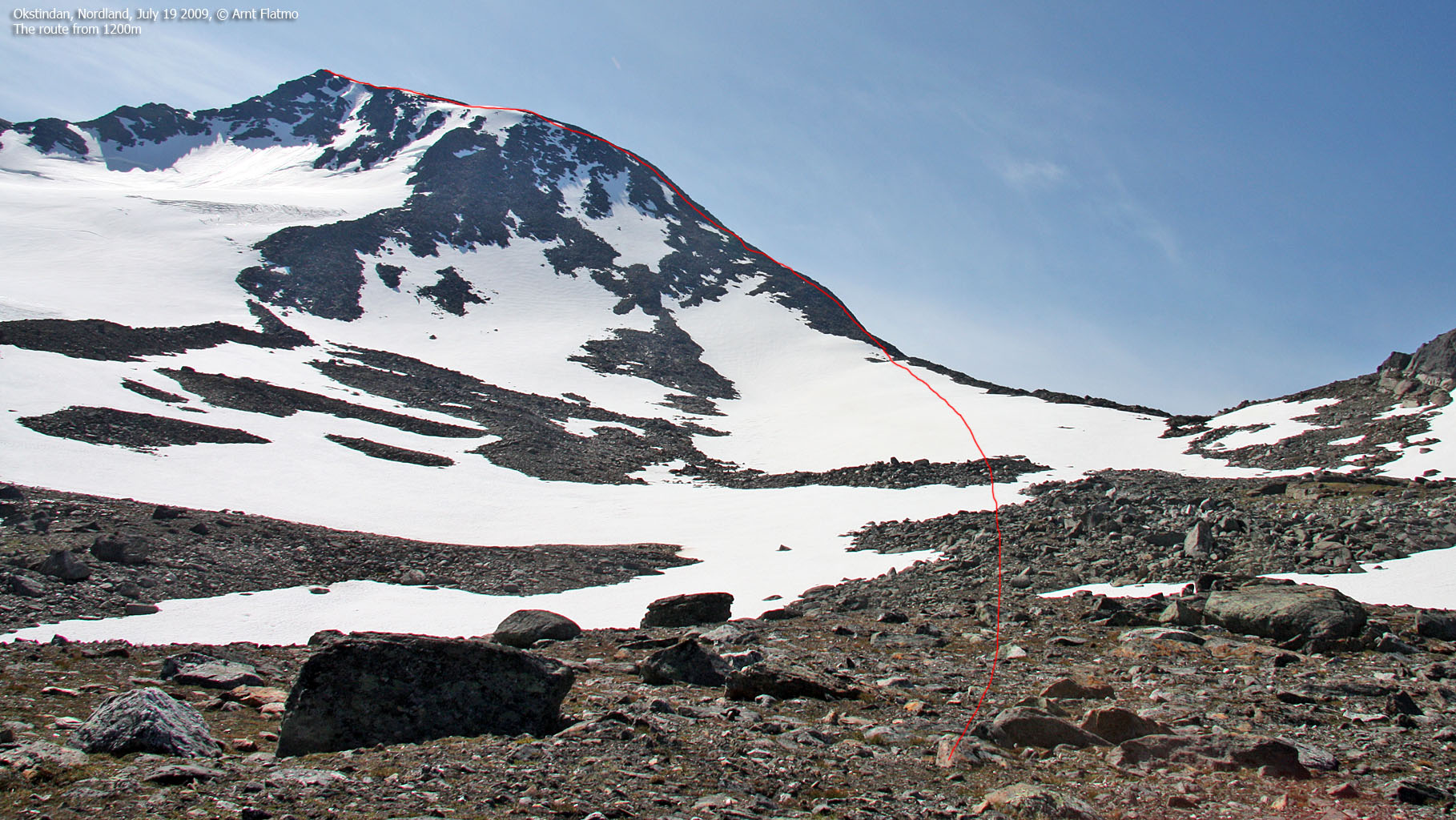
Once across, I headed upwards and followed the terrain where it seemed logical. Ahead of me was a group of 7 hikers and 3 dogs. I caught up with this group on the plateau at 1200-1220m, and we talked for a little while. I then moved on, a little ahead of the others. Oksskolten was almost "in the bag". Just 700 vertical meters to go..

Oksskolten
(Click for larger image)
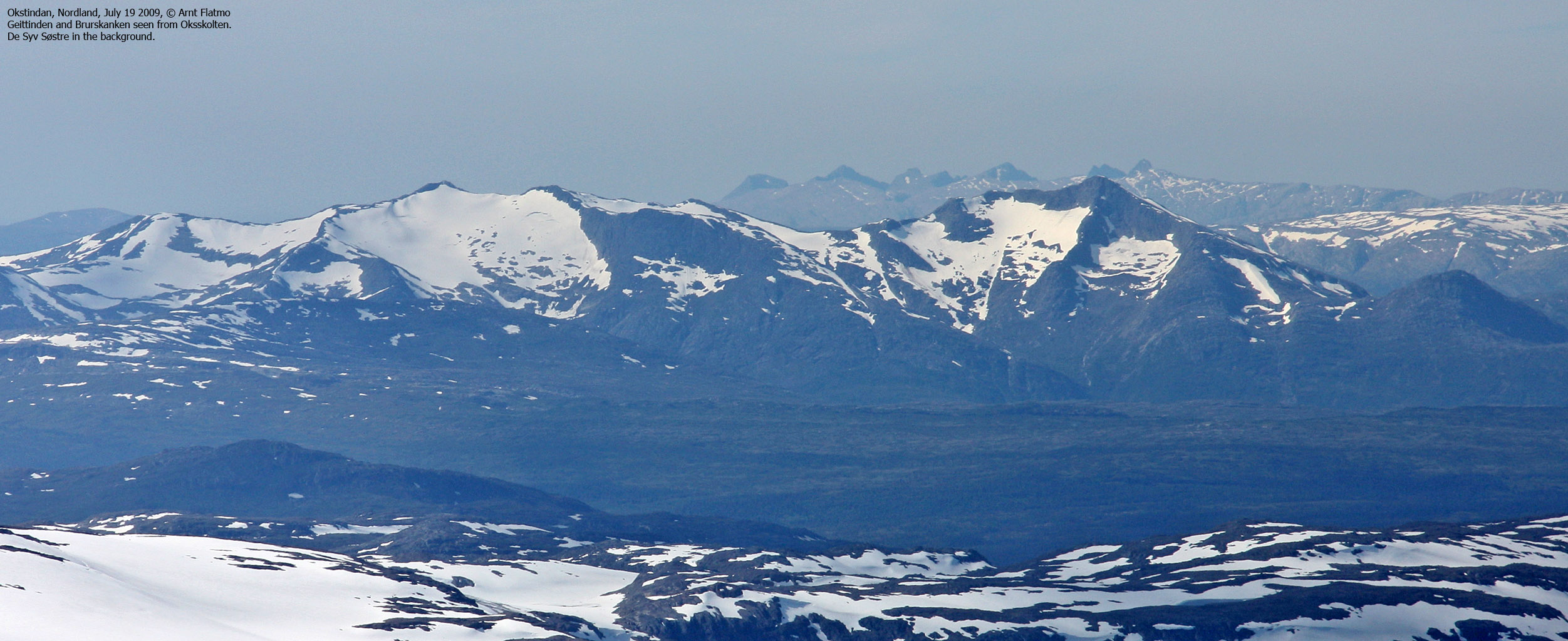
The hike up the northwest ridge was rather easy. For the most part, I was able to follow a (vague) path, but there were also places I chose to scramble straight up. I reached the top of Oksskolten 12:49pm - 3h:10m after heading out. Holy cow, it was great. On top of Nordland, on top of Northern Norway, hell - on top of the world. And the views, the views, the views..
A number of peaks surround the glaciers and I wanted to visit them all. But my very limited food supply (a bag of nuts) didn't warrant anything excessive. I was more than glad to be up here, and 8-9 hours later, I would be back in Brønnøysund, enjoying mom's pizza and a few cold beers. There's no point in asking for much more.

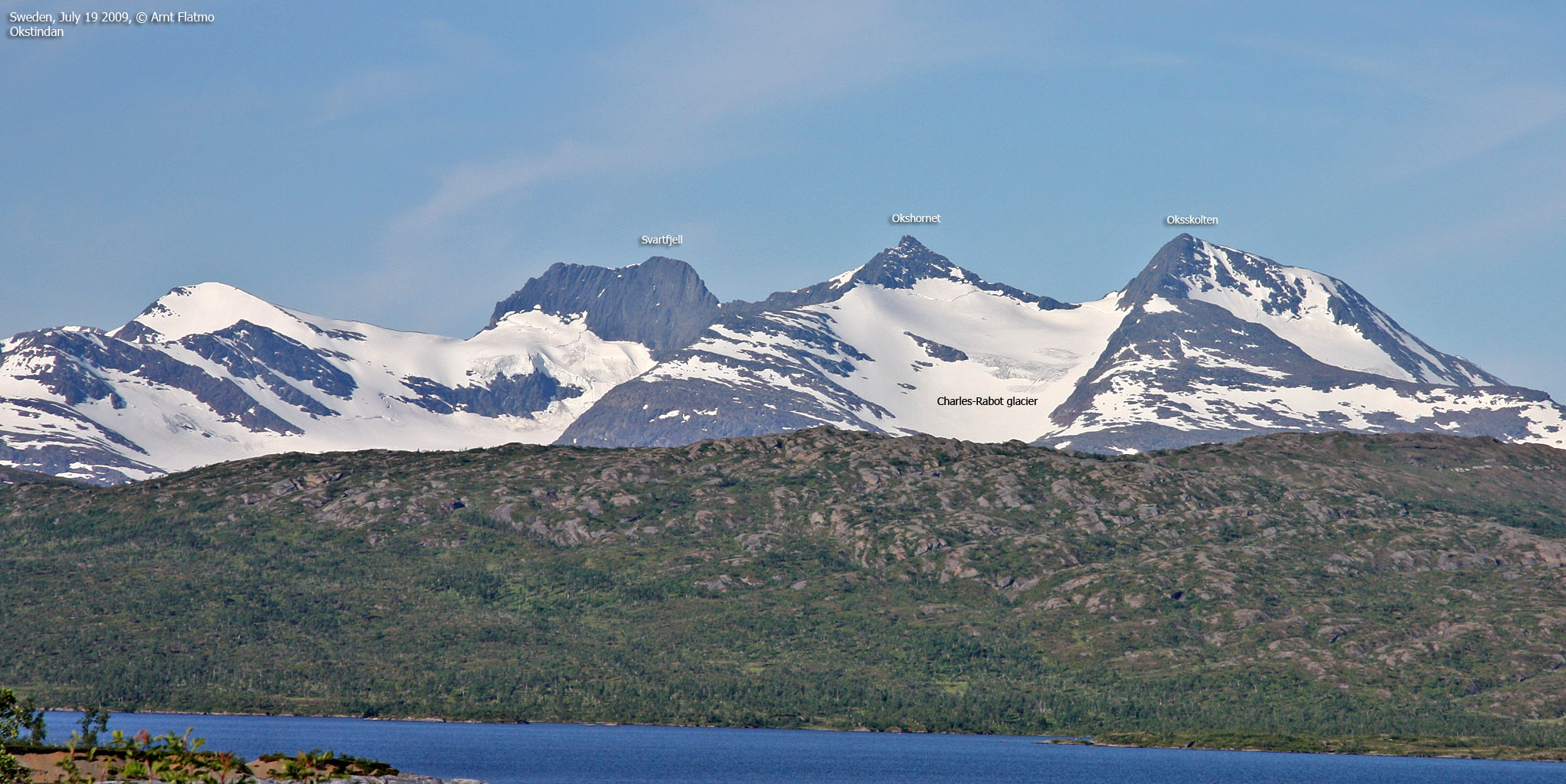
Okshornet and Svartfjell
(Click for larger image)
13:15pm, I was on my way down the mountain, and met the other hikers, just arriving on the summit plateau. The dogs looked tired and I wondered if they felt some pride in being up here too. Who knows? The descent went smoothly, although I missed my glacier entry point. After a small detour, I was back on track and noticed another group of hikers on their way up the mountain.
Back at the plateau east of Kjennvasshammaren, I ran into a group of German tourists, walking about in a random fashion. I could only assume they got here by bus, and this was their "stretching out" hour. But no bus (and no more cars) were seen when I reached the trailhead 15:24pm - 5h:45m after leaving.

Glacier view
(Click for larger image)
On average, I probably drove 20km/h faster on the gravel road around Storakersvatnet, desperate for a hot-dog in Mo i Rana. The hot-dog was acquired at Gruben, and it tasted heavenly! I then drove to Mo i Rana (my birth place) and took the E6 south. I was back in Brønnøysund late enough to conclude that I would not be getting up early the next morning to return to Sunnmøre (as was the plan). 654km on the road demanded a day of rest. Thus, time for one or two more walks in the Brønnøy region...
Next report: Skålvikfjellet


")


