
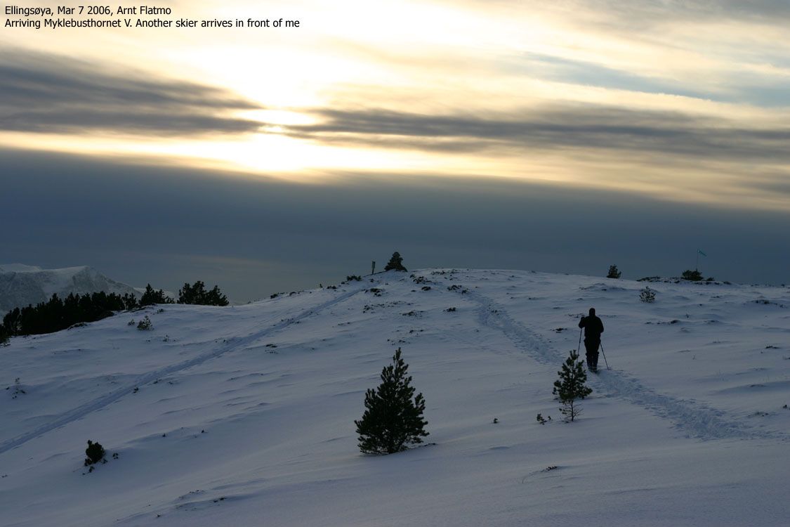
Norwegian Mountains, Møre og RomsdalMyklebosthornet from Myklebost, Mar 7 2006This route is described as route #1 on the main Myklebosthornet page. Trip notes, Mar 7 2006A beautiful day was turning into a grey afternoon, but I decided to take a ski-trip up to Myklebusthornet. I settled for the eastern point (320m on the 1:50,000 map and 317,7m on Økonomisk Kartverk). A bus driver didn't approve of my parking down by the highway, and after taking corrective action, I was on my way upwards with my dog "Troll" in the backpack. I was able to put on the skis early on, and I had a nice trip up the forest. I arrived the top 17:25PM and just missed the sun on top of the sharp Sunnmøre peaks. Back in the forest, I let Troll out of the backpack, and he ran willingly back to the trailhead. This was my second visit to Myklebusthornet, but the first on skis. Both times it was late afternoon, which explains the dark pictures.
Pictures from the Mar 7 2006 ski-trip
No Javascript:
|


