
European mountains
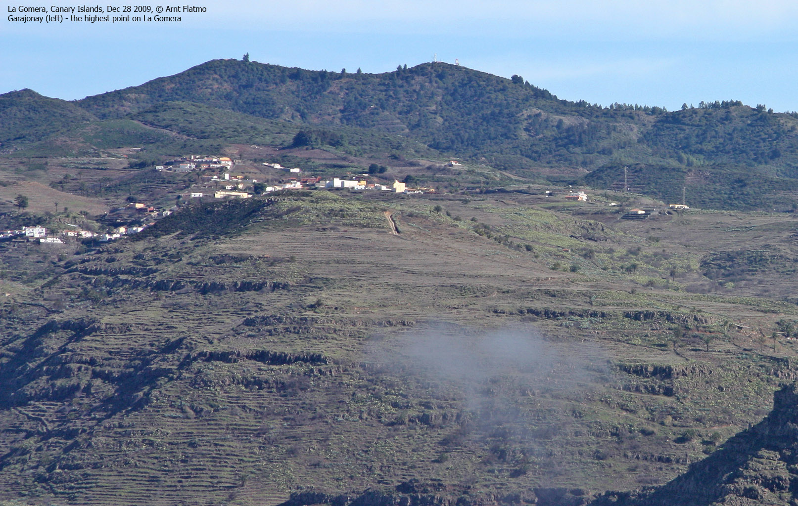
La Gomera, Canary Islands, Spain
La Merica (854m) from Valle Gran Rey, Dec 28 2009
To the main La Merica page (maps, route descriptions, other trip reports, etc.)
To the La Gomera introduction page.

The route - as seen in Google Earth
(Click for larger image)
After a very long journey from Gurskøya, Anne Rudsengen and I had finally settled in at Jardin del Conde at La Puntilla, Valle Gran Rey. On the morning of Dec 28th, we were supposed to get a rental car delivered at the hotel, but someone had not done their job properly, and the car wouldn't be available until late afternoon. Thus, we decided to take a walk "in the neighbourhood" and we chose La Merica as our destination. The trailhead at La Calera was only a 15-minute walk from the hotel.
For a Norwegian, the temperature (20+ deg. C.) was pure pleasure, although it took me a bit by surprise. It was still December! To be on the "safe side", I had brought clothing for Norwegian summers. It was also "difficult" to put 1,5 litres of water in the backpack. Who needs that much water in December? In retrospect, we should have carried at least twice that.
We found the La Calera trailhead and followed the switchbacks up the mountain. The trail was certainly built for far more important things than hiking, and we appreciated the effort that had been put into it. The terrain was different from anything I've ever seen in Norway, and it was quite overwhelming. At approx. 450m, we found a cool rock that we just "had" to scramble. We named it "Roque Z" for mutual reference (named after a very popular Swedish pop group..)

Fun scrambling
(Click for larger image)
When we arrived on the plateau, we saw La Merica and its marker in the distance. We also knew that there would be a slightly higher point just a bit further north. The plan was to turn back after visiting the high point, and water was consumed based on this plan.
After lunch near the marker, we continued towards the high point. After a failed attempt to get there along the ridge, we followed the Arure trail until we saw a place where we could easily get up. This was just after passing a cave full of goats. The cries from the kids which were locked in, were just terrible. Did they have water at all? I decided to settle for that the animals were probably looked well after.
After a short scramble, we arrived on the high point. The time was now 2pm, and it was 2h:25m since we left the La Calera trailhead. The views were brilliant, and especially down to the rugged coastline 850m below us.

La Merica high point
(Click for larger image)
Prior to the trip to La Gomera, I had done a great deal of research of the local mountains. But without reading glasses, errors may occur. After looking at the GPS, I told Anne that there was an even higher top (899m) just a little bit to the north. Would she be interested? We could both see this top, and although it certainly did not look higher, she said OK. We were quite low on water supply, but little water was probably needed upon descent of the mountain.
On the way up to this top, we passed a hut/small house where two dogs (fenced in) were barking loudly. It seemed that one of them was not reaching its bowl of water, but I could not be certain. I felt bad, and wanted to go in and check. But not only would I be trespassing, I would also risk being attacked. Again, we had to have faith in that the locals looked after their animals.
2:30pm, we reached this top which was obviously lower than La Merica. Later, I found out that I had read 839m as 899m. But the hike was not in vain, because this was a really cool and pointy rock. It was fairly easy to climb, but much harder to descend. On the way down, I had to choose between a section of ultra-slippery moss and a ledge with cactuses. I chose the latter. Visiting Arure the next day, we called this rock El Dedo (the finger), as the rock sort of resembled a finger, seen from the this side.
My interest in the Spanish language was clearly growing, and I realized I wouldn't mind learning it. Anne's Spanish was not bad at all, and she entertained me with basic Spanish throughout the hike.
")
El Dedo - Point 839m (the south)
(Click for larger image)
There was another pointy rock (also 839m) a little further to the north, but we decided to turn around here. We could always visit this rock from the Arure side, whenever passing through the village. Which is exactly what we did on the following day (without reaching the top).
We left point 839m 2:40pm and all I could think of was water. We had some left, but not nearly enough to satisfy the thirst. As we passed yet-another-point-839m (just northeast of La Merica), we decided to scramble it. Along the way, Anne had an accident which resulted in a bloody hole in her leg. It looked like it demanded stitching, but she settled for band-aid.
After a fairly quick descent, we returned to the hotel 5:05pm after a 20-minute stop at a cafe in La Calera. It's a long while since I've been that thirsty! The hike was altogether approx. 14km and the vertical gain was 1100m in total. It had been a superb day, and I had already started looking towards the next hike.
")
"El Dedo" - Point 839m (the south)
(Click for larger image)


