
Norwegian Mountains, Hordaland
Kvitenuten (1467m), July 23 2010
To the main Kvitenuten page (maps, route descriptions, other trip reports, etc.)

The route, as seen in Google Earth
(Click for larger image)
It was the 2nd day of our 3-day Hordaland visit, with base-camp Røldal. The day before, Anne and me hiked Holmanuten (and I hiked Elvershei later in the day), and today, we visited Breifonn - the southernmost glacier in Norway. After the hike, I had energy to do one more hike and drove up to Røldalsfjellet to hike Kvitenuten.
On yesterday's trip up and down Elvershei, I kept an eye open for a possible route up Kvitenuten (in case opportunity came knocking...). Although there are cliffs "all around", I figured that Eskjeflota (1070m) would be the best starting point. From here, I could follow a fairly obvious route that would get me past the lower cliffs.

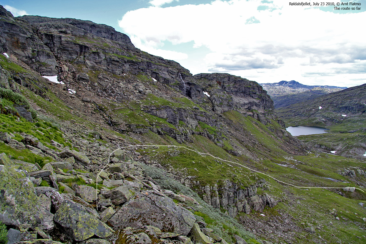
View up from the trailhead
(Click for larger image)
I was sort of in a hurry on this hike, as Anne was waiting in the cabin - building appetite for dinner. I headed out from Eskjeflota 4:22pm and kept a good pace up the mountain. At 1200 meters, I was on the (wide) ledge that I had reckoned would grant me easy access to the upper part of the mountain. And so far, I seemed to be right.
At 1300 meters, I stood in front of a series of small ledges, almost like a terrace. The route ahead wasn't obvious, except for that the general direction was *up*. Deliberately, I didn't chose the easiest route and had big fun scrambling my way up...

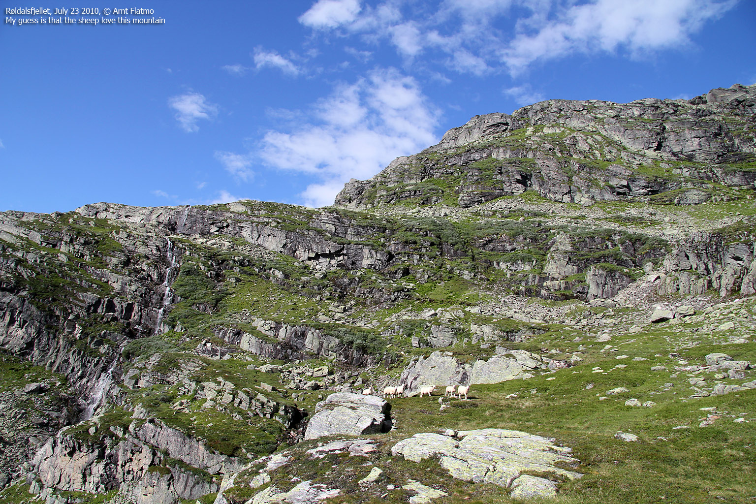
Rugged terrain on Kvitenuten
(Click for larger image)
Passing 1440 meters, I noticed a top in the distance that I assumed was the summit. Suddenly, lake 1416m appeared between me and what I thought was the summit. This was not good news, as getting over to the other side would take some time.
But after consulting with the GPS, I found that the summit was 300 meters to the east, and not 400 meters to the north. And a few minutes later, at 5:08pm, I was standing on top of Kvitenuten. I was happy about the hiking time and decided to return immediately (after taking pictures, of course).

View from Kvitenuten
(Click for larger image)
After a quick hike down the mountain, I returned to the car 5:51pm. Total hiking time up and down was 1,5 hours. My appetite was now strong, and I looked forward to a nice dinner at Røldalsterrassen, as well as the next day and our planned hike to Stavsnuten. After consulting my clock, I found that I had time for a quick visit to Seljestadjuvet. It would be a shame to leave this area without having visited this cool place...

Seljestadjuvet
(Click for larger image)


