
Norwegian Mountains, Sogn og Fjordane
Høgaleinene (1066m), Skoganipa (1255m) and Krokberg (1356m) on skis, Feb 25 2012
To the main Krokberg page (maps, pictures, other trip reports)

The route, as seen in Google Earth
(Click for larger image)
This was my first weekend in Sogndal in a month, and it began with back pain and a mind-boggling headache. I knew that muscle massage was only part of the cure - activity was also of utmost importance. Today, I was my own Doctor, and today the Doctor's order was a long and nice ski-trip.
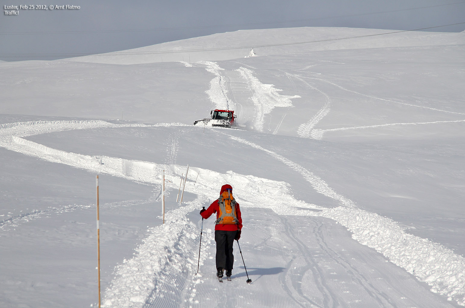
The large amounts of wet snow called for some thinking, and it seemed best to reach the mountain on easy street - namely a ski-lift. As I hadn't been to Sogn Skisenter before, Anne and me decided to go there. Høgaleinene was the primary target. And if my body and mind were able and willing - we could extend the trip to Skoganipa and Krokberg. By the time we reached the slopes at Heggmyrane, it seemed to be a gorgeous day.

At Sogn Skisenter
(Click for larger image)
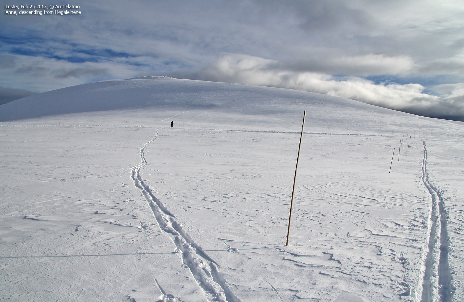
We got on the lift (11:27am) and I really, really, really (etc.) looked forward to the descent outside the main slopes. But first, we had a mountain top (or three) to visit. We sat course for Høgaleinene and reached the top 42 minutes after getting off the lift and a nice ski-trip partly along a prepared track. I was really enjoying the beautiful day and being in the mountains with Anne (now back from Argentina) again. The headache was still of the splitting kind, but it had now become my second priority.

On the way to Høgaleinene
(Click for larger image)
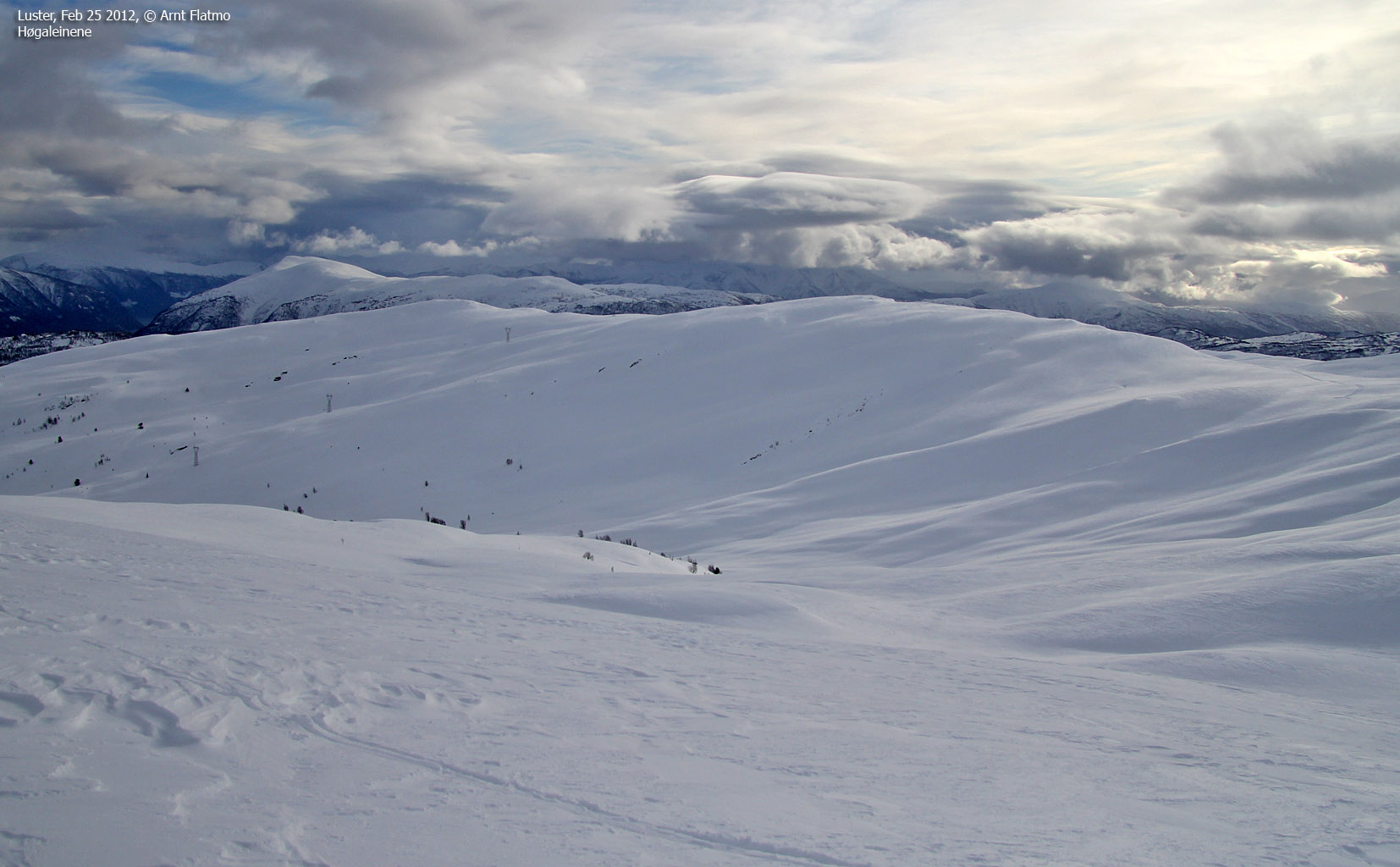
There was no doubt in my mind - despite the pain, I wanted to reach Krokberg. Rånøyeggi (which I haven't been to) was probably stretching it too far. But first, we were going to stop by Skoganipa. We followed a pair of ski-tracks upwards, and soon saw two skiers ahead of us. A woman came skiing down from Skoganipa, and we were definitely not alone up here.

Approaching Skoganipa
(Click for larger image)
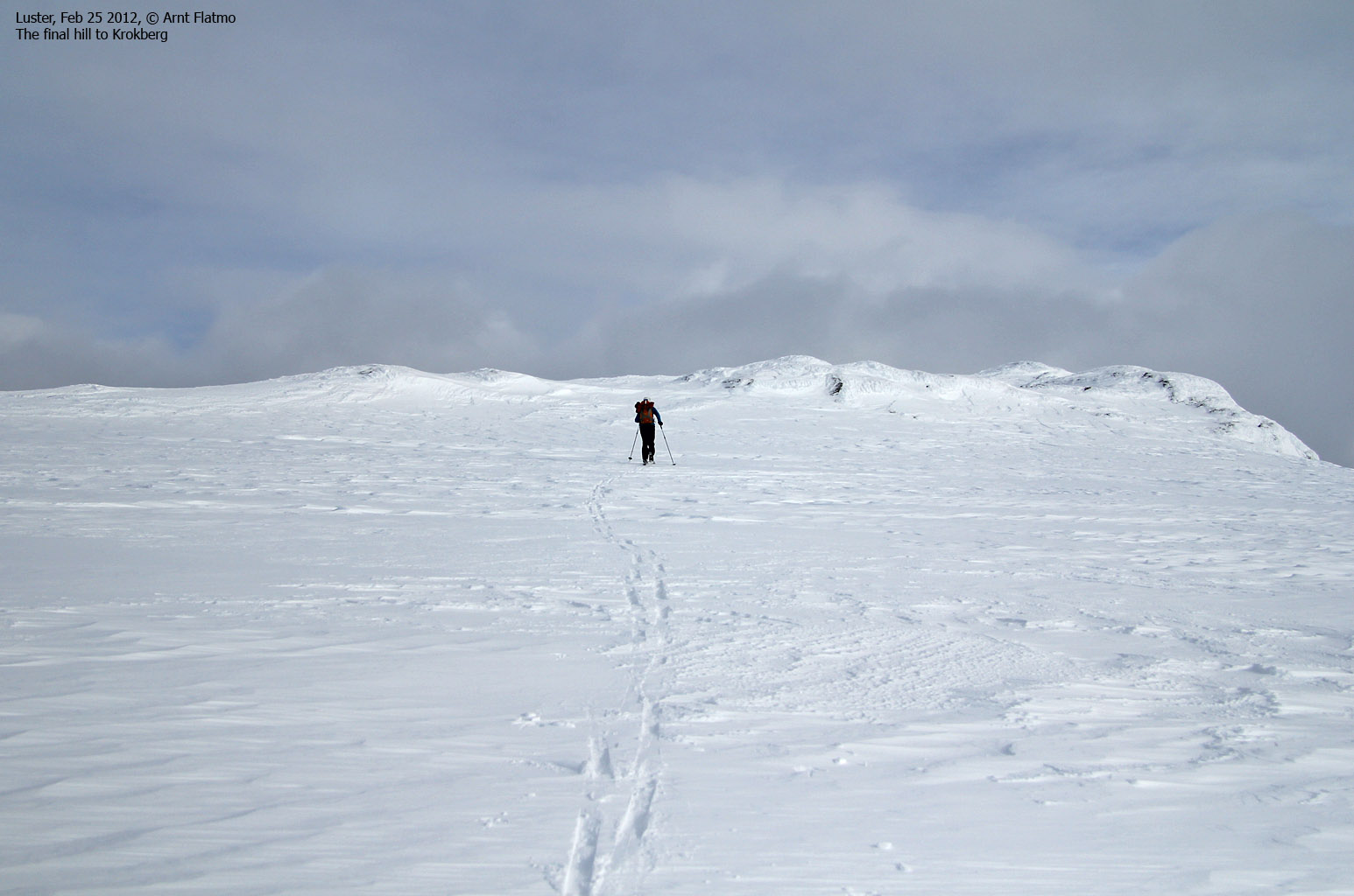
We reached the top of Skoganipa 1:29pm and continued immediately towards Krokberg. The other skiers were out of sight (they went down into Dalsdalen) and we were all alone up here. After a 2km ski-trip, we reached the top of Krokberg at 2:02pm. Rånøyeggi was seen 1,8m to the northwest, but it was definitely "out of scope". 4,7km to the north was Asbjørnnosi, which Anne and me visited in April 2011.

On top of Krokberg
(Click for larger image)
It was now time to descend the mountain, and Anne suggested that we should descend via Dalsdalen. I had not studied this route, so I simply had to trust her when she said it was a normal descent route that would take us back to the trailhead. The immediate upside was that we didn't have to do the 2km flat (actually - slightly uphill) route to Skoganipa before the real descent begun, so I said OK - let's do it. Dalsdalen - here we come! And the first couple of slopes were magical!

Descending Krokberg
(Click for larger image)
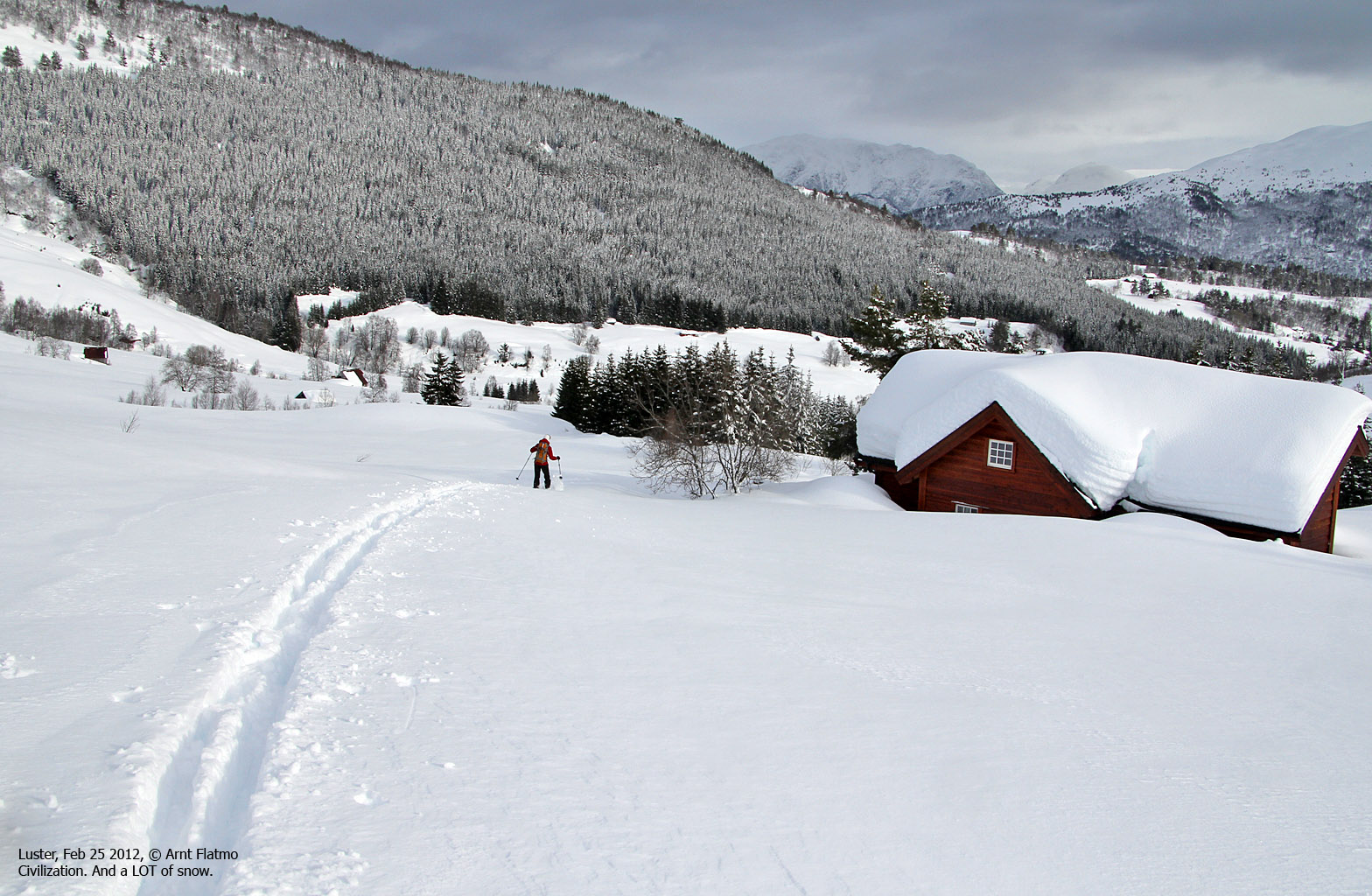
But at 800 meters, things started to change. All of a sudden, I began to go flat on my face into the snow. It turned out that the snow had started to collapse beneath us. The passage through the cabin area was awful - we could get no speed even in the down hills. Going off-trail was out of the question. We had to follow tracks and roads. Near Bruheim, we got on a icy road and by the time we reached the highway, there was every reason to do a tooth count...
We were now 2,4km away from the trailhead. We hid the skis and walked back to the ski-centre. Anne took responsibility for the not-so-fortunate descent and asked me how she could make up for it. "Massage", I responded, long before she had finished the question...

Not where we ought to be
(Click for larger image)


