
Norwegian Mountains, Møre og Romsdal
Koppefjellet, Dec 25 2008
To the main Koppefjellet page (maps, route descriptions, other trip reports, etc.)

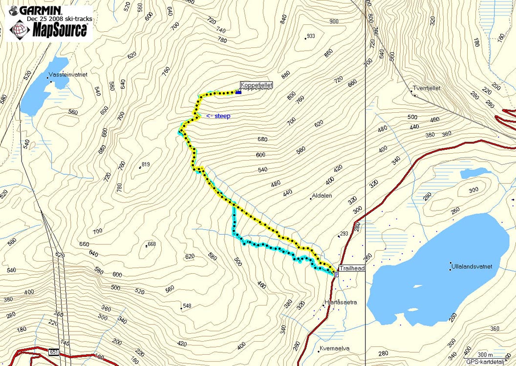
Route to Koppefjellet
(Click for larger image)
On this 1st day of Christmas, I was heading for Storetua (826m) above Folkestad. This would be new ground, and I was looking forward to it. The only problem was that the ferry never came. I had checked the ferry schedule, and there was no mention of Christmas. As such, I had to assume that the Sunday schedule would apply. Which was a reasonable assumption, as this was a European road, and all..
The Sunday schedule did not apply. A ferry was supposed to leave at 10:30am, but when the time was 10:26am (and I could see the ferry lie still on the other side of the fjord), I decided to call on a plan B. The next task was to figure out what Plan B should be. As I had brought skis, anything was possible. I decided to head towards Aldalen and ski Koppefjellet.
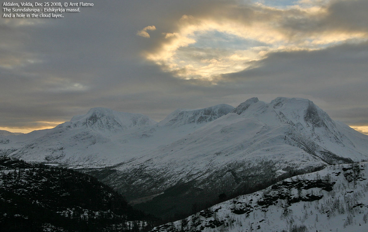
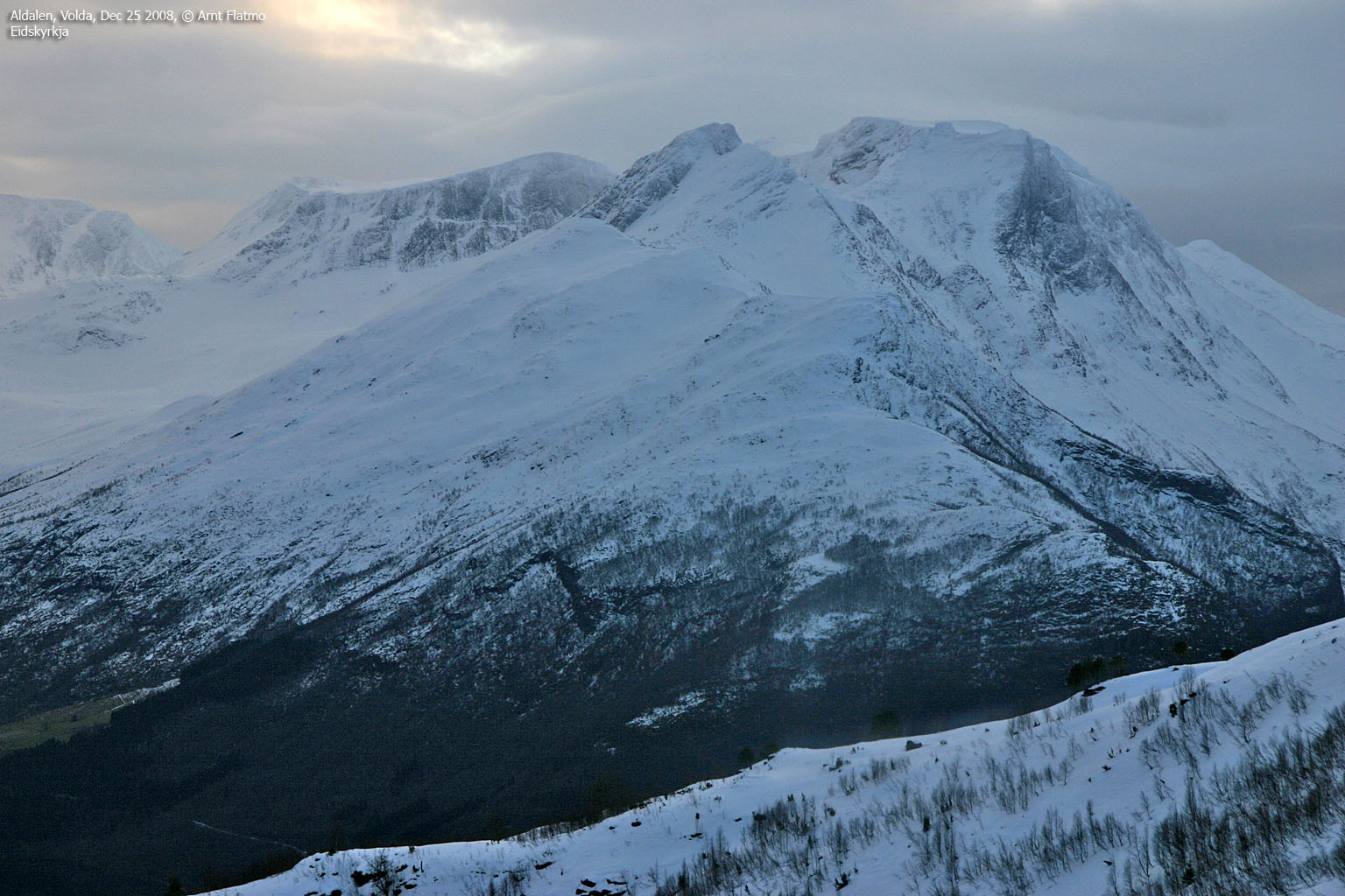
Eidskyrkja
(Click for larger image)
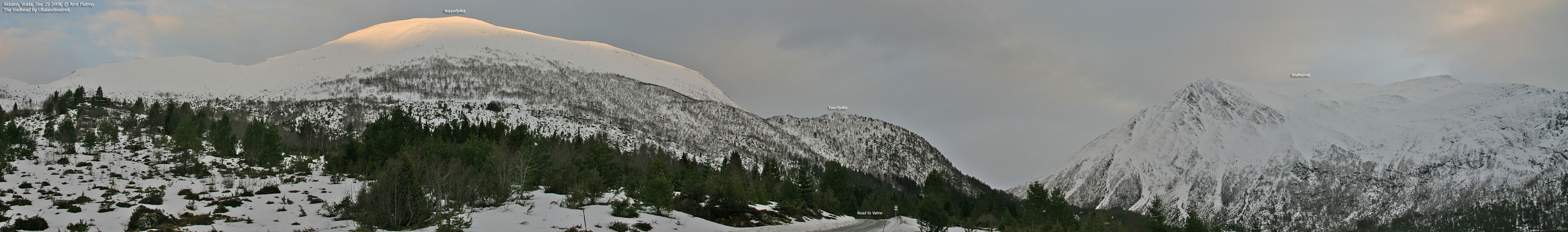
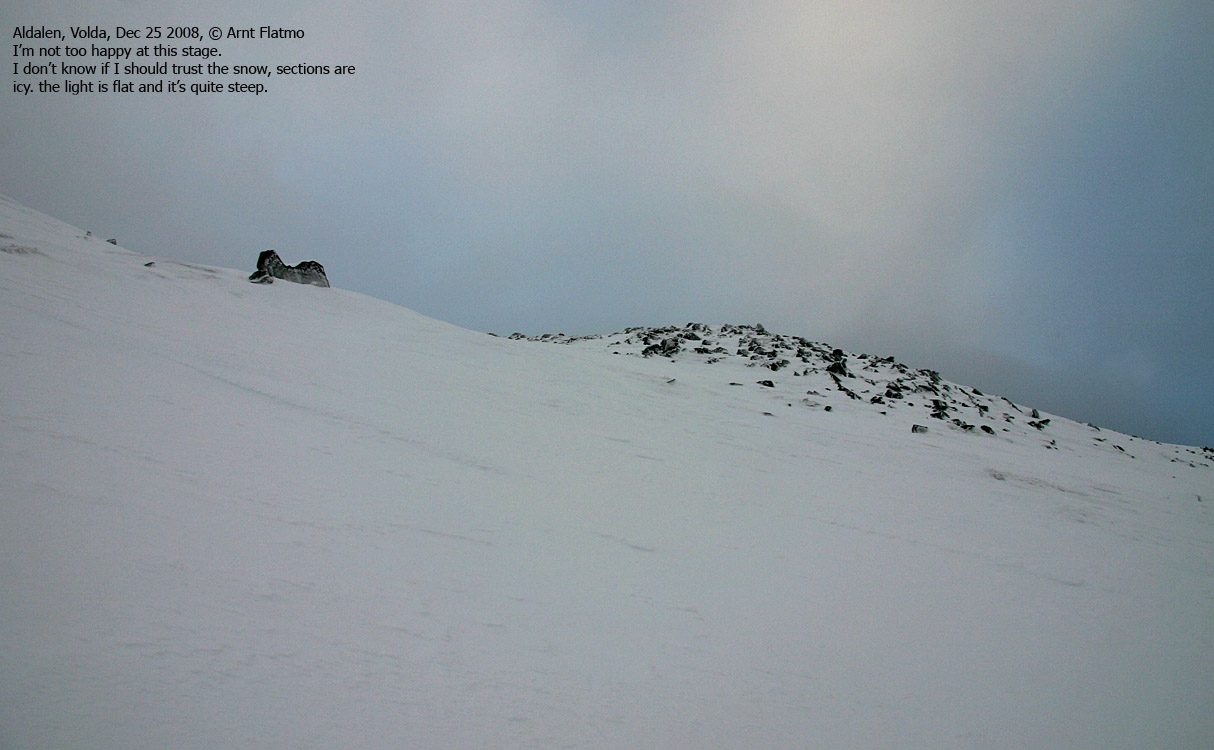
10:55am, I was on my way up Koppefjellet. The mojo wasn't there. I didn't like the snow (hard) or the light (flat). Moreover, it was only a few days since severe avalanche danger had been reported. So what had been going on in the meantime? Was it safe now? I couldn't easily tell. Furthermore, the upper mountain looked steep.
It was simply impossible to tell how steep the upper mountain was. I wouldn't know until I was in the middle of it. If I had brought my compass (which I never do) I could have measured the angle. I could also have used my poles to measure the angle, but I didn't. Perhaps I didn't want to know the answer. It felt like it was more than 30 degrees, which meant that I should be very observant. The snow was a mix of ice and soft snow covered by a packed, weak crust. Small sections collapsed under pressure and I felt really, really uncomfortable. If I lost the grip, I would certainly be sailing down the hillside. I've learned that I'm much more uncomfortable with skins on. Should I lose the grip, there's no way I could resume skiing. I would just stumble down, head first.
I really hate doing so, but I decided to proceed on foot. After 50 vertical meters, I was in easier terrain, almost up on the ridge, and could resume skiing. I was convinced I would just ski down the mountain and laugh at my nervous behaviour. I reached the summit 12:10pm, 1h:15m after leaving the trailhead. The vertical gain was 680m, and I hadn't hurried in any way. The route up the ridge had been really windy, but upon arriving at the summit, there wasn't any wind at all.

Koppefjellet summit
(Click for larger image)
I enjoyed my stay at the summit, and looked forward to ski down the mountain. But when I returned to the section that I had ascended on foot, I chickened out again. I guess I spent 3-4 minutes trying to convince myself to just set off. Skiing down was absolutely no problem, but I had this big, big fear about setting off an avalanche. Not one of those major powder snow avalanches, but one where the crusty surface layer would just slide off the soft snow below. I ended up descending the 50 vertical meters on foot, and then put the skis back on.
The light hadn't improved, but now I could follow my ski-tracks, and I had an enjoyable descent back to the trailhead. I didn't break through the hard snow, which meant that I could keep a fair pace down the mountain. I was back at the trailhead 1pm, 40 minutes after leaving the summit. A white-tailed eagle decided to take a good look at me, which made the descent much more enjoyable.

Eagle above Kopphornet
(Click for larger image)


