
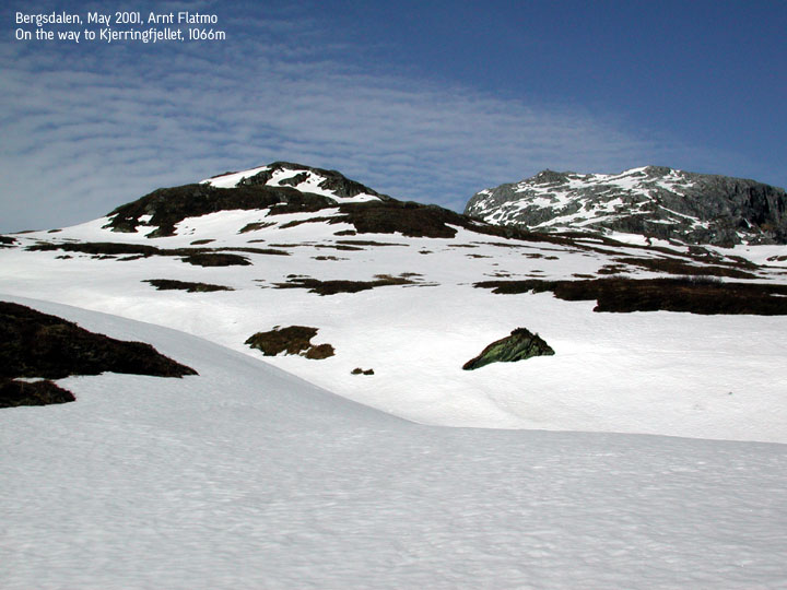
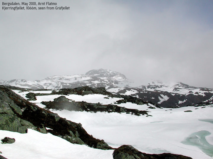
Kjerringfjellet, 1066m
|
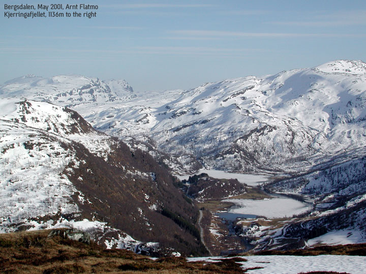
 Kjerringfjellet (right) seen from Bergsberget |
Access:
On highway E16 Bergen - Voss, from Dale or Bulken (near Voss) take the former main highway over
Hamlagrø At Hatlestad (16Km from Dale), locate a small farm road that begins, heading north.
There is a large farm at the beginning of the road. You may park on the roadside.
The trail (1):
|
Pass the farm and another house. Then the farm road turns into a trail. Pass 2 more cabins. At the third cabin (on your left. There is another cabin to your right), locate a small trail that runs along the fence. Follow this trail until you reach the mountain. At this point, you have Bergsberget, 852m, on your left and Horgi, 851m on your right. You see Kjerringfjellet, 1066m on your right-hand side, northeastern direction. As you approach Kjerringfjellet, you may find it steep on the southwestern side. In summer, hiking the southwest is easy if you find the right combination of ledges. Another approach is to go around the mountain, and around the small lake on the NW side, and hike the mountain from the north. The trail (2): If you're looking for a longer approach, don't leave the trail at the third cabin. Stick with the trail all the way up through the Hatlestadlii valley. Once you've passed a bridge that crosses the river (almost on top of the valley) you can leave the trail, head NW towards Blåsåta (1029m), climb this on the east side and head SE towards Kjerringfjellet. A rather large lake (lake 950) can be passed on the west or east side. Just after the lake, still heading towards Kjerringfjellet, there is a shift in elevation of the terrain. There are not many ways to get up to the upper plateau (Kjerringfjellet foothills), so you may need to follow the small canyon looking for a way up. Go down as adivsed on trail 1. |

|
Notes:
Trail 1 was a surprisingly quick hike. In rotten snow (may), it took me 1 hour (fast walking)
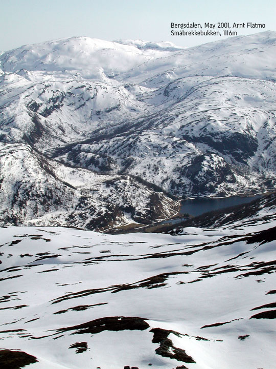
to the foothills, and only 20 more minutes before I was on top. Amazing views in all directions.
You have clear view of Kvitanosi (1433m, highest point in Stølsheimen), Lønahorgi
(1410m, over Voss), Horndalsnuten (1491m, south of Voss), southern Bergsdalen mountains with
Kvamskogen mountains in the Horizon, and much, much more. Make sure to bring the camera.
Following trail 2, I took a little detour up to approx. 1020m on Mykletveitveten (further NE). All together the trip took 4 hours 15min, but I hiked non-stop rather quickly.
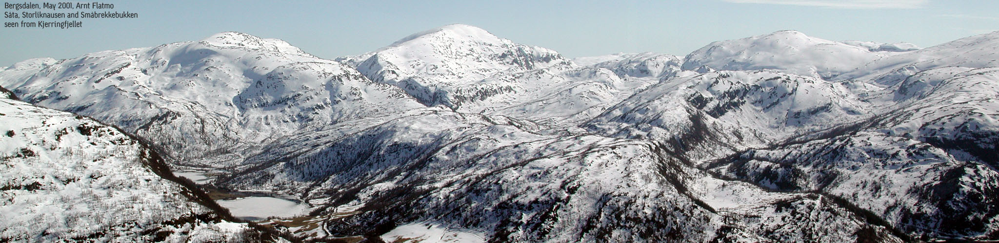
Pictures: (move cursor to read notes, and click on the images to see full version)
Some of the thumbnails may have been cropped to fit the format


Pictures from other hikes:


 Other hordaland mountains
Other Vaksdal K. mountains
westcoastpeaks.com
Other hordaland mountains
Other Vaksdal K. mountains
westcoastpeaks.com