
Norwegian Mountains, NordlandHolmshatten, 620m (Holmsfjellet)
|
| Fylke/Kommune : | Nordland/Bindal | ||||||
| Maps : | 1725-II Austra (Statens Kartverk, Norge 1:50 000) | ||||||
| Primary factor : | 597m | ||||||
| Hiked : | July 2009 | ||||||
| See also : |
|
||||||
| See also : | Other Nordland mountains on westcoastpeaks.com |

Holmshatten/Holmsfjellet
(Click for larger image)
Holmshatten is located on the north side of the Bindalshalvøya peninsula - on which Heilhornet (1058m) is the highest mountain. West of Holmshatten is Holm - from where you can take the ferry to Vennesund, and follow RV17 (Kystriksveien) to the town of Brønnøysund.
Holm is also the starting point for this hike. People who come from Brønnøysund would normally leave their cars at Vennesund, as the Holmshatten trailhead is only 1km away from the harbour. The 4km route up to the top is easy all the way, and serves as a nice family hike - with excellent views!
Like many other coastal tops in this region of Norway - Holmshatten has steep cliffs and looks quite dramatic when viewed from the west. It is quite rugged in the other directions too, but you will never feel any discomfort along the normal route.
The "Hatten" suffix suggests that the mountain looks like a hat, when viewed from a certain point. This suffix is quite popular along the southern Helgeland coastline, and you do not need to travel far to find mountains with names such as Torghatten, Anddalshatten, Innerhatten, Trælneshatten, etc.

Holmshatten/Holmsfjellet
(Click for larger image)
Holmshatten (Norge 1:50,000: 620m, Økonomisk Kartverk: 620,01m, UTM 33 W 367469 7230240) has a primary factor of 597m towards the higher parent Litlhornet (797m). The defining saddle (approx. UTM 33 W 368398 7224199) is found between Høghatten and Litlhornet. Ref. Økonomisk Kartverk (5m contours), the saddle is within the range 20-25m, interpolated to 23m.
GPS measurement read 612m (on the cairn, ~2m high), averaged over a 5-minute period (error margin +/- 2,3m).
Google's interactive map. You can zoom, pan and click on the markers.
|
|
|
|
Route 1: Holm - Holmshatten (summer/autumn)
|
|
Access
(all distances are approx. distances)
The starting point is Holm - located on the northwest side of the Bindalshalvøya peninsula. The nearest bigger town is Brønnøysund, from where you can follow highway RV17 to Vennesund and take the ferry to Holm. You may want to leave your car on the Vennesund side (saving extra expenses on the ferry), as the Holmshatten trailhead is only 1km up the road on the Holm side.
The route

The route to Holmshatten
(Click for larger image)
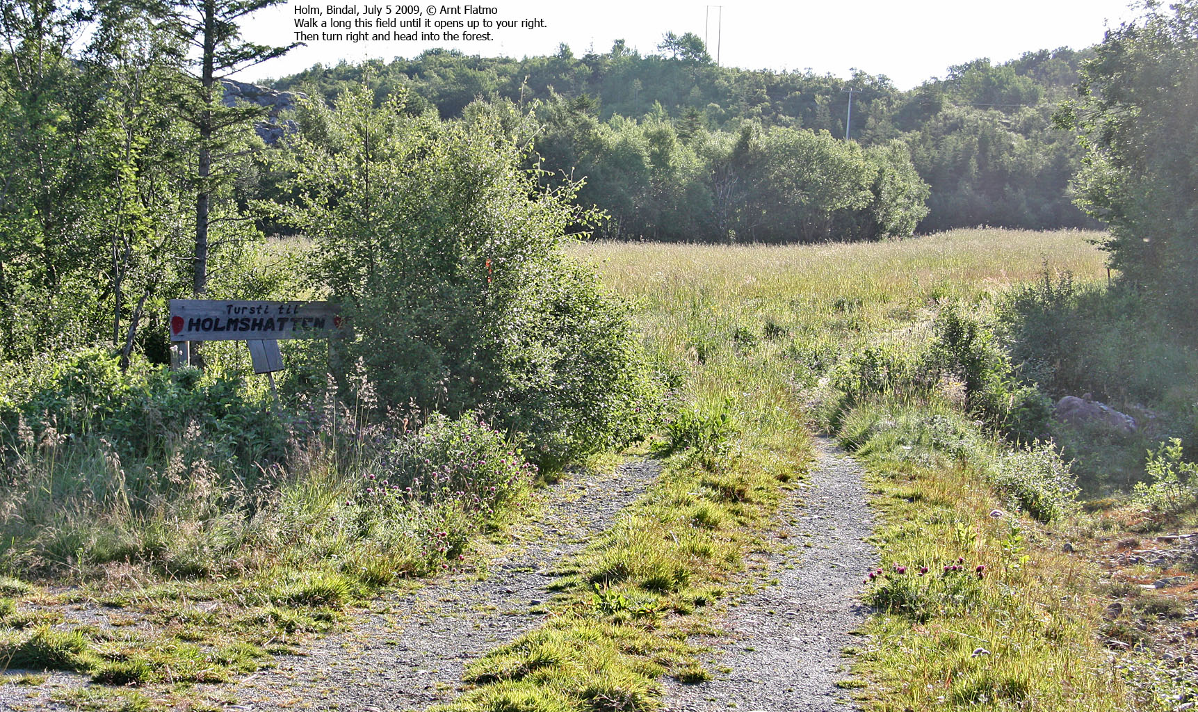
From the Holm harbour, follow RV17 1km and turn left onto a gravel road leading up to a house. This gravel road is approx. 350m south of the road towards Hall (signposted). Pass the house and follow a forest road until you see the Holmshatten signpost. Continue along this forest road until you reach a field. Walk along this field until it opens up on your right-hand side. Turn right and head towards the forest. In summer, this field can be overgrown with grass and the path may be not visible until you get to the forest. Cross a creek shortly after you've entered the forest.
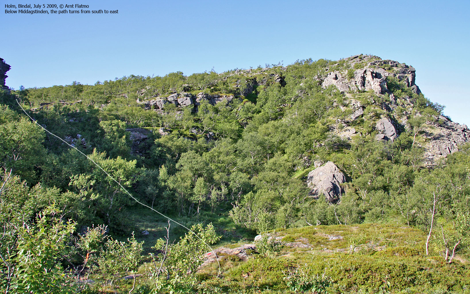
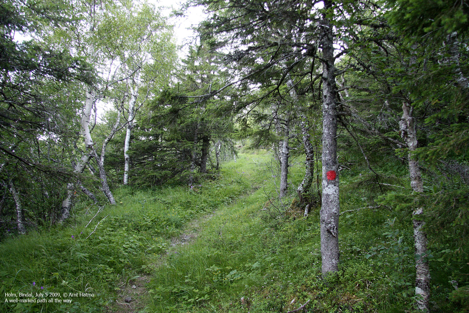
Once into the forest, follow the "T" marked trail (painted in red on trees & rocks) to the south, in the direction of Middagstinden, for approx. 1km. Head up a distinct pass, and you will have a valley in front of you. Turn left, and follow the path up a forest ridge in the northern direction. At 220m elevation, the path turns "in the right direction" - southeast, then east. Follow the "T"'s all the way to the summit, marked by a proper cairn.
 westcoastpeaks.com
Other Nordland mountains
Other Norwegian mountains
westcoastpeaks.com
Other Nordland mountains
Other Norwegian mountains


