
Norwegian Mountains, Sogn og FjordaneGrovabreen, 1636m
|
| Fylke/Kommune : | Sogn og Fjordane county/Førde & Jølster municipalities | ||||||||||
| Maps : |
1317-IV Haukedalen (Statens Kartverk, Norge 1:50 000)
1318-III Breim (Statens Kartverk, Norge 1:50 000) |
||||||||||
| Primary factor : | 606m | ||||||||||
| Hiked : | Apr 2010 | ||||||||||
| See also : |
| ||||||||||
| See also : | Other Sogn og Fjordane mountains on westcoastpeaks.com |

Grovabreen seen from the air
(Click for larger image)
According to Wikipedia, Grovabreen is the 21st largest glacier in Norway (20km²). The glacier belongs to Jølster and Førde and is a close neighbour to Jostedalsbreen - Norway's largest glacier. Grovabreen is however completely independent of Jostedalsbreen.
The normal starting point is Dvergsdalen above Lake Jølstravatnet. There are two popular routes - both described on this page. One of these routes is avalanche prone, while avalanche danger can be avoided on the other.
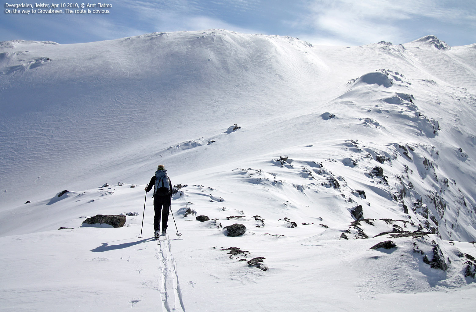
Many skiers turn around on glacier point 1586m - 2,1km northwest of the high point, and although the view from point 1586m towards the west and north is superb, the high point offers a 360 deg. panorama that you should definitely not miss out on!

Grovabreen seen from the air

(Click for larger image)
The view from the top includes the most prominent and distinct tops in the Sunnfjord and Nordfjord regions, a number of Sunnmøre alps (a.o. Slogen, Hornindalsrokken, Eidskyrkja, Trollvasstinden, Kolåstinden and Skårasalen), Jostedalsbreen (incl. Lodalskåpa), numerous Jotunheimen peaks including Galdhøpiggen and the Smørstabbtindane, and Hurrungane peaks, several of the higher Sogndal mountains, and a number of peaks on the south side of Sognefjorden, including distinct landmarks such as Fresvikbreen, Bleia, Syrdalshesten and Blåskavlen.
Annotated panoramas can be found by following the trip report at the bottom of this page.

Hurrungane seen from Grovabreen
(Click for larger image)
Grovabreen (Norge 1:50,000: 1636m, Økonomisk Kartverk: -, UTM 32 V 368604 6819603) has a primary factor of 606m towards the higher parent Jostedalsbreen. The defining saddle (approx. 32 V 374636 6819082) is found at Kinnaklypa, between Sygnesandnipa and Marabreen. Ref. Norge 1:50,000 (20m contours), the saddle is within the range 1020-1040m, interpolated to 1030m.
GPS measurement read 1635m (on top of a ski-pole), averaged over a 10-minute period (error margin 1,1m). Our location was 103m northwest of the high point on the Garmin GPS map, but we believe our location is more correct.

Grovabreen seen from point 1586m
(Click for larger image)
Google's interactive map. You can zoom, pan and click on the markers.
|
|
|
|
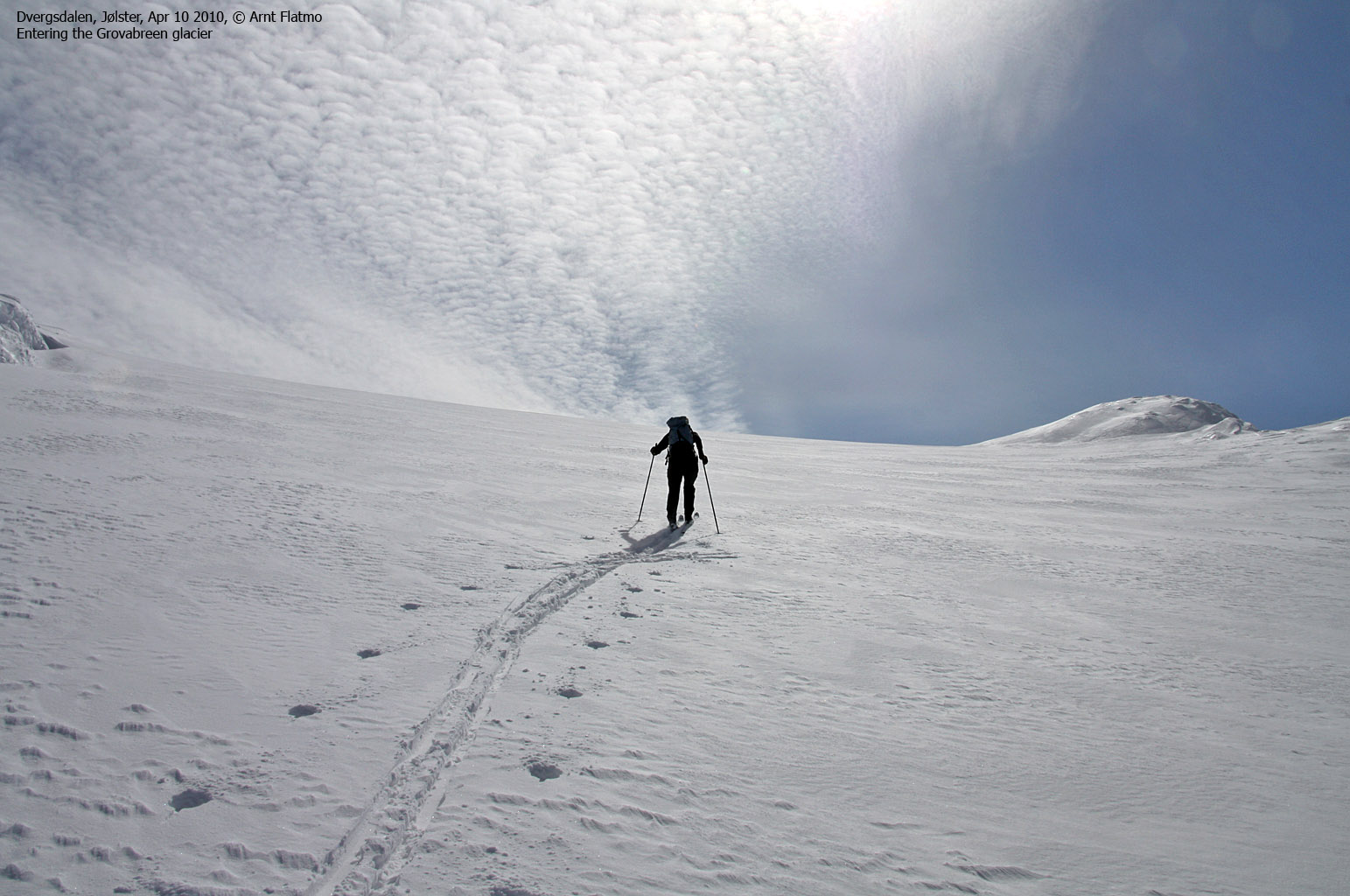
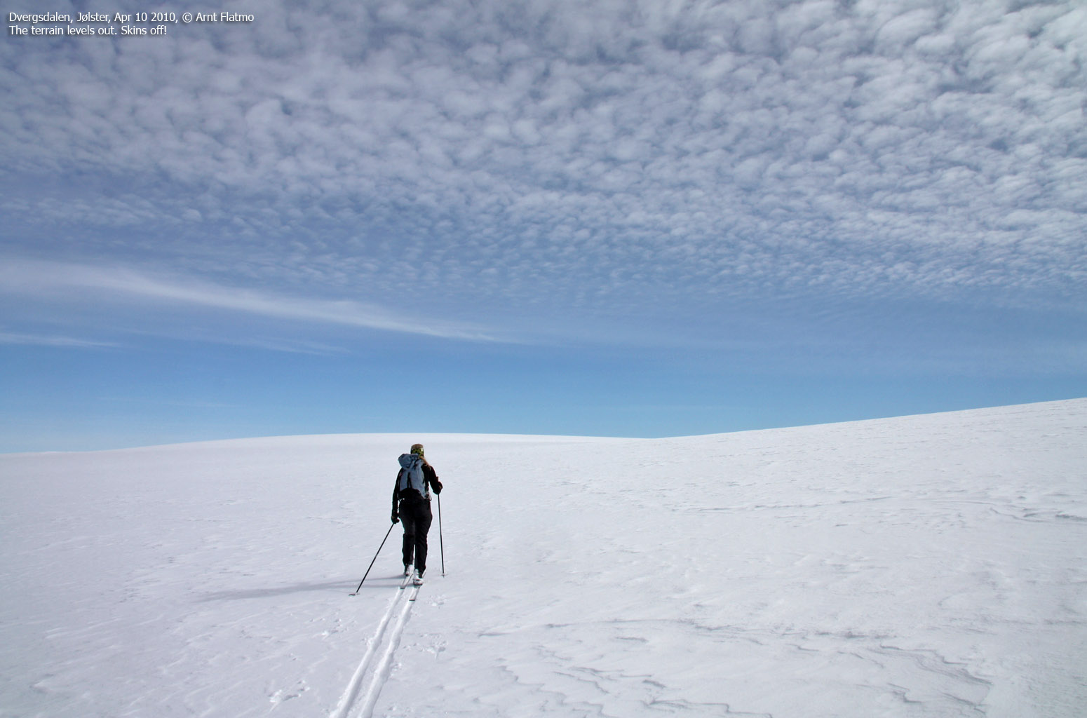
Route 1: Dvergsdalen - Grovabreen round trip (spring)
|
|
This route description is valid per Apr 2010
Access
(all distances are approx. distances)
The starting point for is the
highway E39/RV5 junction at Skei by Lake Jølstravatnet. The
nearest airports are Sandane Lufthamn Anda (47km), Førde
Lufthamn Bringeland (60km) and Sogndal Lufthamn Haukåsen (80km).
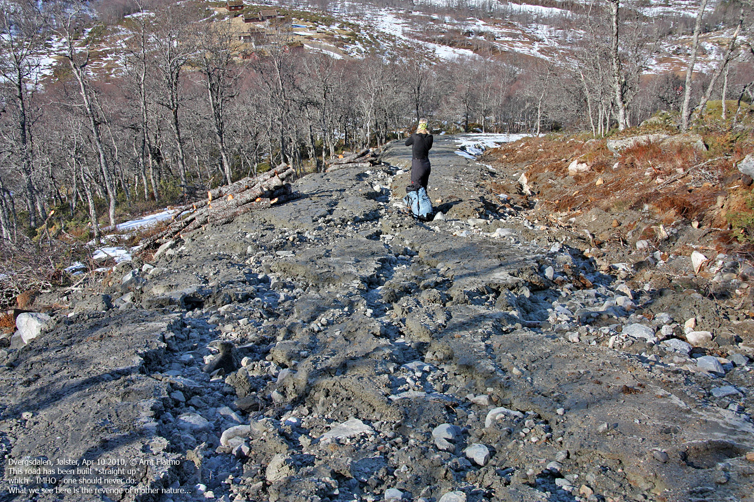
From Skei, follow RV5
2,1km in the direction of Sogndal. Turn right towards Vassenden/ Dvergsdal/
Astruptunet (signposted), then drive 1km (crossing Kjøsnesfjorden on a
bridge) to a fork. Turn right (north) and continue 1km until you see the
Dvergsdalsdalen signpost. Turn left here. drive 2,5km up to the fork at
Dalevatnet. Stay left and drive as far towards
Dvergsdalsstøylen as snow/road
work/road quality allows you to.
The route
Ascent:
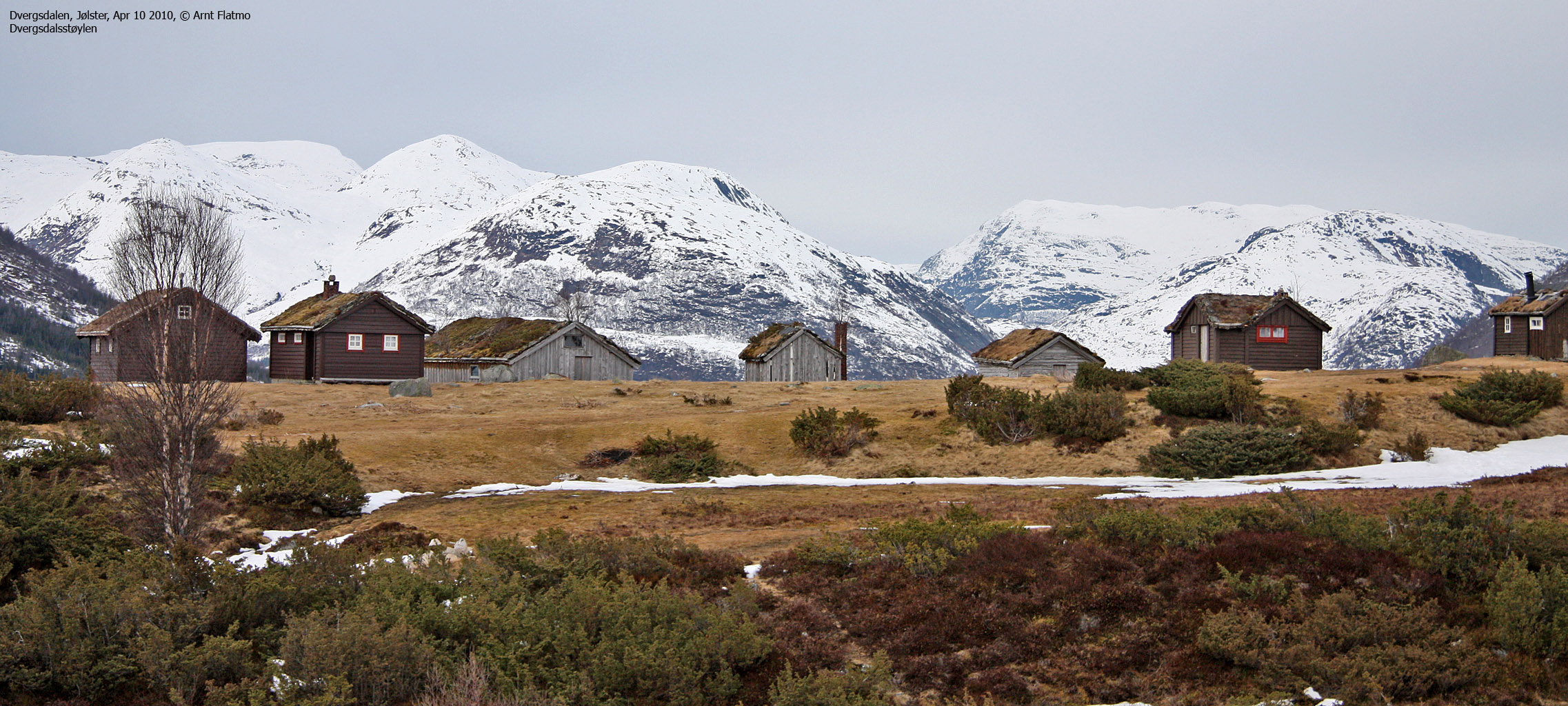
Aim for the Dvergsdalsstøylen
cabins, and ascend Støylsbakken along a
tractor road (north of
the cabins). Follow this road up to 730m, then
turn left and aim for the
lowest
point between Støylsnova and Tverrfjellet. In case of avalanche danger,
keep left (in the direction of Støylsnova) to avoid the steepest sections. Once on the
Tverrfjellet - Salsegga ridge, follow it
upwards and pass point 1322m
before you reach the glacier. The further
direction to the glacier high point is
southwest.
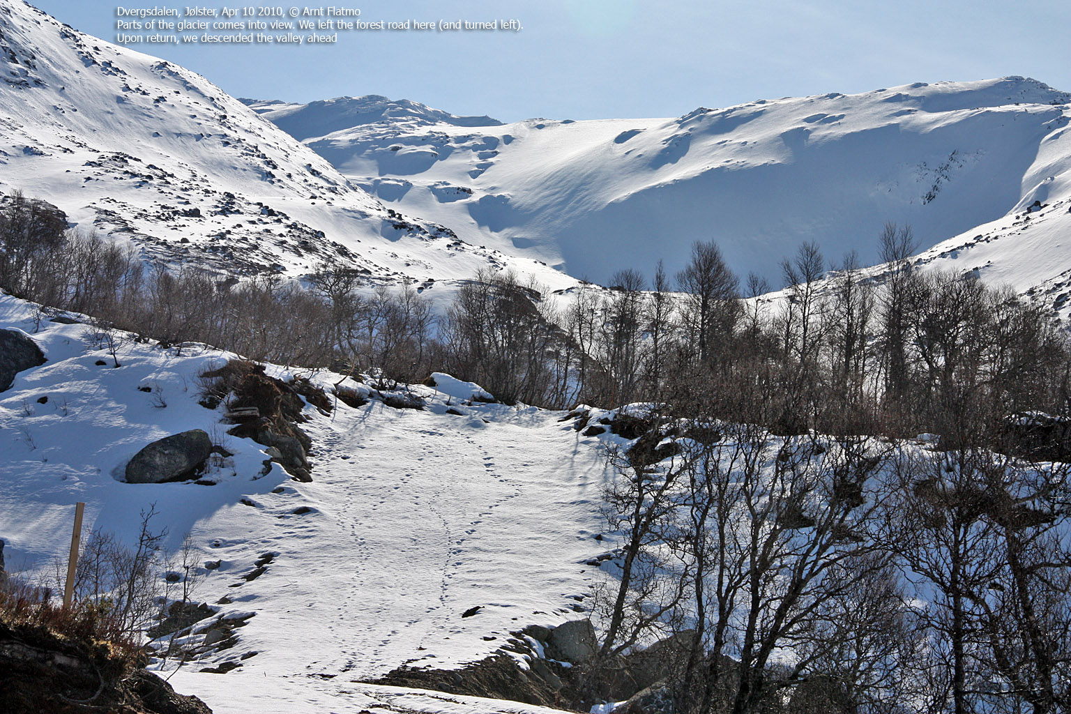
Descent:
Ski to point 1586m, then descend northwest down a
broad slope
into Fagredalen. Pass the small lake on the left-hand side (west). Fagredalen
has a nice descent route towards Dvergsdalsstøylen
(a bridge takes you across the river close
to the cabins), but there may be avalanche danger on the
Nyken side. See
this
link (external document, Norwegian text)
for information about the tragic March 2004 accident in Fagredalen.

Routes to the glacier
(Click for larger image)
|
|


